Smallcombe Wood

Wood, Forest in Devon West Devon

England

Smallcombe Wood

Old Boundary Marker near Burrator reservoir, Sheepstor parish Plymouth Corporation Water Works boundary marker on the bank of Drake's Leat south of Burrator reservoir. Sheepstor parish. 

Milestone Society National ID: DV_PCWW01em
Old Boundary Marker near Burrator reservoir, Sheepstor parish Credit: T Jenkinson

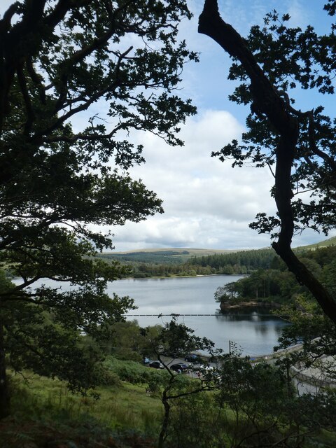
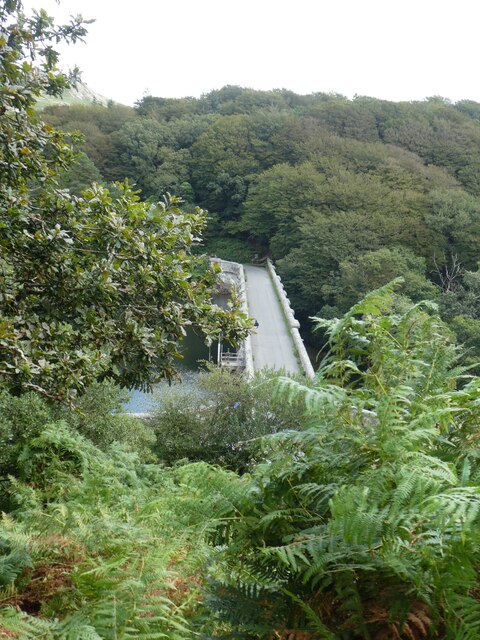
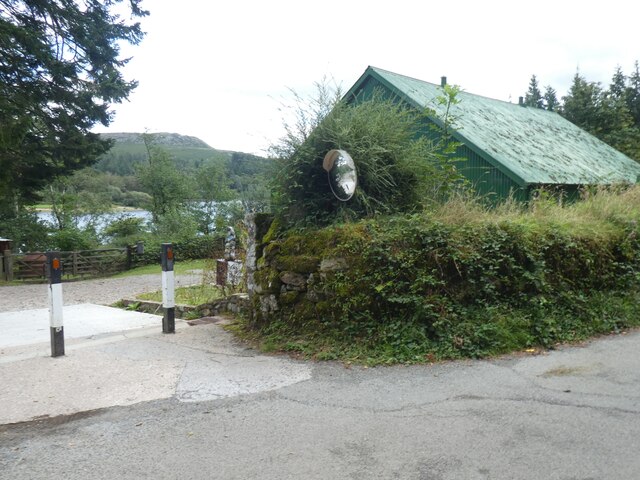
Smallcombe Wood is a picturesque forest located in the county of Devon, England. Situated in the southern part of the county, near the town of Newton Abbot, it covers an area of approximately 200 acres. The woodland is part of the larger Dartmoor National Park, which is known for its stunning natural beauty and diverse wildlife.

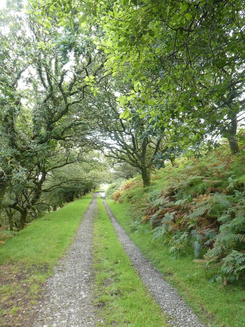
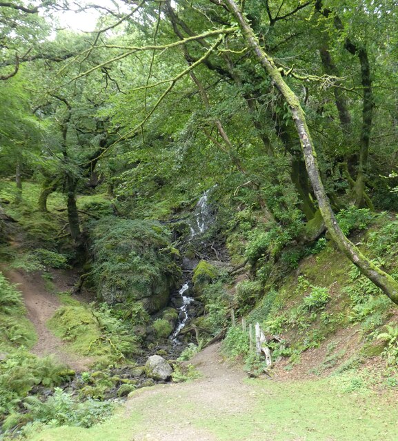
Smallcombe Wood is a mixed woodland, consisting of a variety of tree species including oak, beech, birch, and ash. The dense canopy provides a tranquil and shady environment, perfect for leisurely walks and nature exploration. The forest floor is rich in flora, with bluebells, wood sorrel, and wild garlic carpeting the ground during springtime.

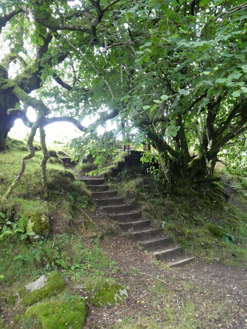
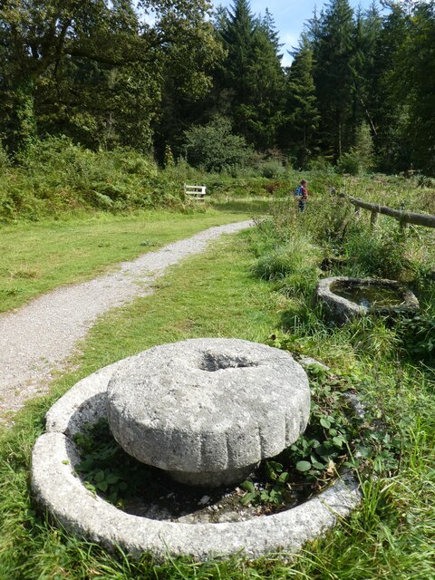
The wood is crisscrossed by a network of well-maintained footpaths, making it easily accessible for visitors. These paths lead through the heart of the forest, offering glimpses of ancient trees, vibrant moss-covered rocks, and babbling brooks. Bird enthusiasts will delight in the opportunity to spot a range of species, such as woodpeckers, nuthatches, and tawny owls, which call the woodland home.

Smallcombe Wood provides a sanctuary for a variety of wildlife, including badgers, foxes, and deer. Nature lovers may have the chance to observe these creatures in their natural habitats. The forest also supports a diverse insect population, attracting butterflies, dragonflies, and beetles.

Whether visiting for a peaceful stroll, birdwatching, or simply to immerse oneself in the beauty of nature, Smallcombe Wood offers a serene and enchanting experience for all who venture into its leafy depths.

If you have any feedback on the listing, please let us know in the comments section below.

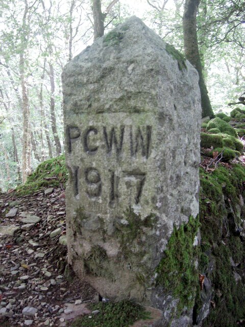
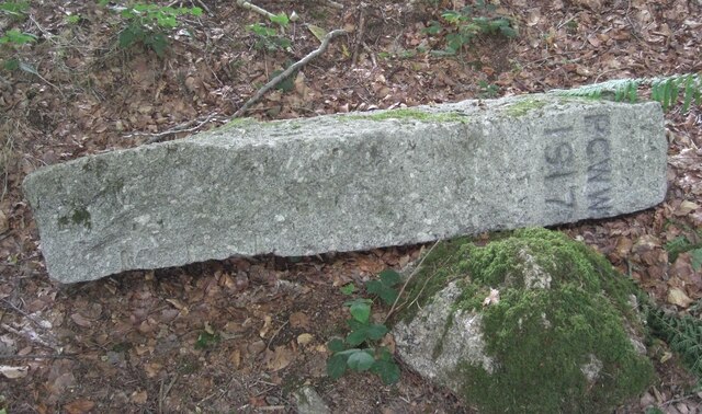
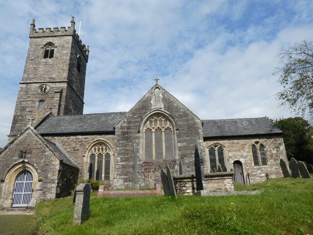
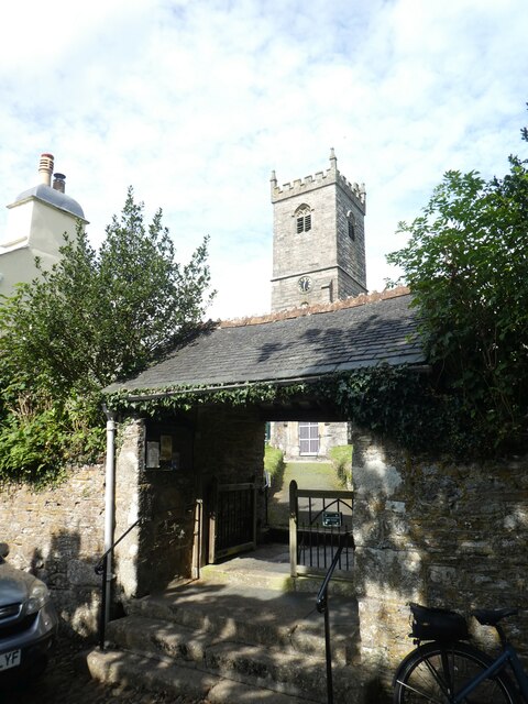
Smallcombe Wood Images

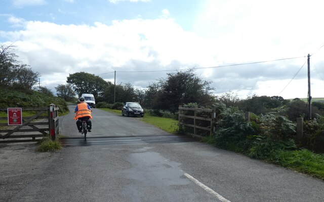
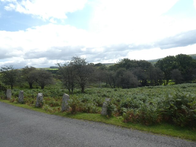
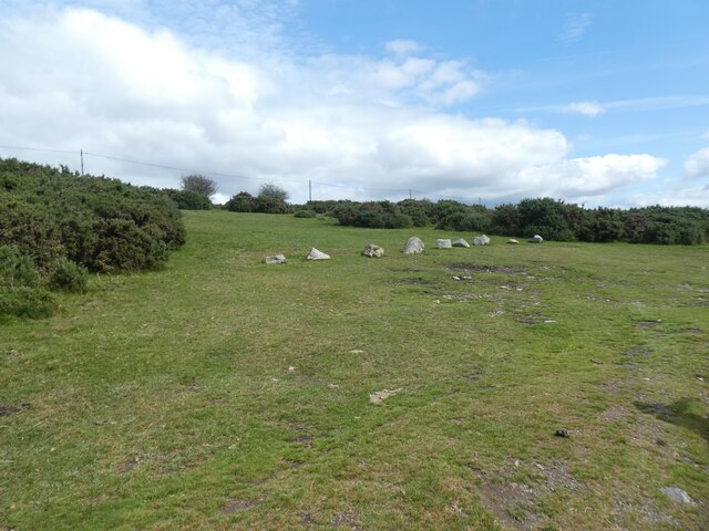
Images are sourced within 2km of 50.486174/-4.0390921 or Grid Reference SX5567. Thanks to Geograph Open Source API. All images are credited.

Old Boundary Marker near Burrator reservoir, Sheepstor parish Plymouth Corporation Water Works boundary marker on the bank of Drake's Leat south of Burrator reservoir. Sheepstor parish. 

Milestone Society National ID: DV_PCWW01em
Old Boundary Marker near Burrator reservoir, Sheepstor parish
Plymouth Corporation Water Works boundary marker on the bank of Drake's Leat south of Burrator reservoir. Sheepstor parish. Milestone Society National ID: DV_PCWW01em
Old Boundary Marker near Burrator reservoir, Sheepstor parish Plymouth Corporation Water Works boundary marker was then lying beside a track above Burrator reservoir. Sheepstor parish. In 2016 it was moved and put display outside Burrator Discovery Centre at SX 5520 6853 north of Burrator Dam, just beyond Burrator Lodge on the Reservoir side of the road.

Milestone Society National ID: DV_PCWW02em
Old Boundary Marker near Burrator reservoir, Sheepstor parish
Plymouth Corporation Water Works boundary marker was then lying beside a track above Burrator reservoir. Sheepstor parish. In 2016 it was moved and put display outside Burrator Discovery Centre at SX 5520 6853 north of Burrator Dam, just beyond Burrator Lodge on the Reservoir side of the road. Milestone Society National ID: DV_PCWW02em
Old Boundary Marker near Burrator reservoir, Sheepstor parish Plymouth Corporation Water Works boundary marker beside a gate at the top of Joey's Lane, a bridleway, where it reaches the open moor. Sheepstor parish.

Milestone Society National ID: DV_PCWW03em
Old Boundary Marker near Burrator reservoir, Sheepstor parish
Plymouth Corporation Water Works boundary marker beside a gate at the top of Joey's Lane, a bridleway, where it reaches the open moor. Sheepstor parish. Milestone Society National ID: DV_PCWW03em
Meavy church (St Peter) Grade I listed Norman church.<span class="nowrap"><a title="https://www.britishlistedbuildings.co.uk/101105442-church-of-st-peter-meavy#.WzDSzookp1s" rel="nofollow ugc noopener" href="https://www.britishlistedbuildings.co.uk/101105442-church-of-st-peter-meavy#.WzDSzookp1s">Link</a><img style="margin-left:2px;" alt="External link" title="External link - shift click to open in new window" src="https://s1.geograph.org.uk/img/external.png" width="10" height="10"/></span>
For more detail about the church read <span class="nowrap"><a title="http://www.westdartmoorbenefice.co.uk/wdmc/wp-content/uploads/2013/10/Meavy-Church-Guide.pdf" rel="nofollow ugc noopener" href="http://www.westdartmoorbenefice.co.uk/wdmc/wp-content/uploads/2013/10/Meavy-Church-Guide.pdf">Link</a><img style="margin-left:2px;" alt="External link" title="External link - shift click to open in new window" src="https://s1.geograph.org.uk/img/external.png" width="10" height="10"/></span>
Meavy church (St Peter)
Grade I listed Norman church.LinkExternal link For more detail about the church read LinkExternal link
Lych gate, St Peter's church, Meavy A lychgate or as two separate words lych gate, is a gateway covered with a roof found at the entrance to a traditional English churchyard. The name comes from the Old English for a corpse (lic) and was traditionally where the clergy met the corpse for burial. It was also a shelter for the pall bearers.
Lych gate, St Peter's church, Meavy
A lychgate or as two separate words lych gate, is a gateway covered with a roof found at the entrance to a traditional English churchyard. The name comes from the Old English for a corpse (lic) and was traditionally where the clergy met the corpse for burial. It was also a shelter for the pall bearers.
Cattle grid, moorland road north of Meavy
Do not think of parking on this moorland verge The granite stones act as a barrier against a very sudden drop just by the road.
Do not think of parking on this moorland verge
The granite stones act as a barrier against a very sudden drop just by the road.
Keep off Yennadon Down Lumps of Dartmoor granite are a simple and fairly effective way to keep vehicles off the moor
Keep off Yennadon Down
Lumps of Dartmoor granite are a simple and fairly effective way to keep vehicles off the moor
Track on east slope of Yennadon Down
Access steps from track on Yennadon Down
Burrator Reservoir
Burrator Reservoir
The dam of Burrator Reservoir
Waterfall on west of Burrator Reservoir
Burrator Reservoir Discovery Centre
Road to the north of Burrator Reservoir
Granite crush, old farmstead, Burrator Reservoir One of the surviving items from a farm which was lost when the reservoir was constructed
Granite crush, old farmstead, Burrator Reservoir
One of the surviving items from a farm which was lost when the reservoir was constructed
Ruins of farm, Burrator Reservoir
Access gate to footpath by Burrator Reservoir
Show me another place!

Smallcombe Wood is located at Grid Ref: SX5567 (Lat: 50.486174, Lng: -4.0390921)

Administrative County: Devon

District: West Devon

Police Authority: Devon and Cornwall

What 3 Words

///enclosing.convert.apron. Near Yelverton, Devon

Related Wikis

Burrator

Burrator is a grouped parish council in the English county of Devon. It is entirely within the boundaries of the Dartmoor National Park and was formed...

Sheepstor

Sheepstor is a village, civil parish and former manor on the western side of Dartmoor in the county of Devon, England. In 2001, its population was 53,...

Burrator and Sheepstor Halt railway station

Burrator and Sheepstor Halt railway station was located on the 10.5 mile long single track branch railway line in Devon, England, running from Yelverton...

Meavy

Meavy is a small village, civil parish and former manor in the English county of Devon. Meavy forms part of the district of West Devon. It lies a mile...

Nearby Amenities

Located within 500m of 50.486174,-4.0390921
Barrier: cattle_grid
Lat/Long: 50.4860266/-4.0342392
Ford: yes
Lat/Long: 50.4840498/-4.0434601
Barrier: stile
Lat/Long: 50.4885963/-4.039525
Barrier: stile
Lat/Long: 50.4860668/-4.0410204
Power: pole
Lat/Long: 50.4898269/-4.0351367
Power: pole
Lat/Long: 50.4894993/-4.0361291
Power: pole
Lat/Long: 50.4890488/-4.0375346
Power: pole
Lat/Long: 50.4886495/-4.0381113
Power: pole
Lat/Long: 50.487629/-4.0394497
Power: pole
Lat/Long: 50.4870607/-4.0398869
Power: pole
Lat/Long: 50.4862757/-4.0403911
Power: pole
Lat/Long: 50.4848984/-4.0412897
Power: pole
Transformer: distribution
Lat/Long: 50.4845161/-4.0422553
Power: pole
Lat/Long: 50.4841014/-4.0433738
Power: pole
Lat/Long: 50.483871/-4.0448597
The data included in this document is from www.openstreetmap.org. The data is made available under ODbL.

Have you been to Smallcombe Wood?

Leave your review of Smallcombe Wood below (or comments, questions and feedback).