Hatches Brake Plantation

Wood, Forest in Devon Torridge

England

Hatches Brake Plantation

River Torridge at New Bridge There are lots of New Bridges in Devon. The Tarka Trail crosses this one a couple of miles west of Dolton.
River Torridge at New Bridge Credit: Grant Sherman

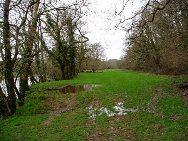
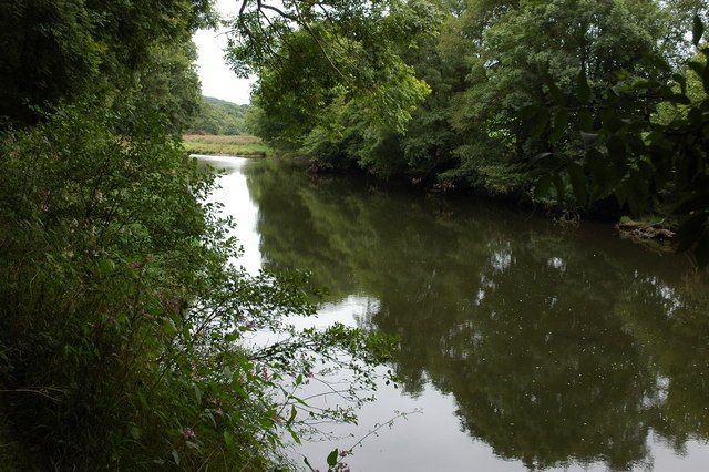
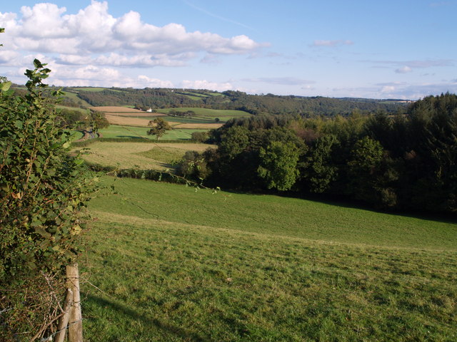
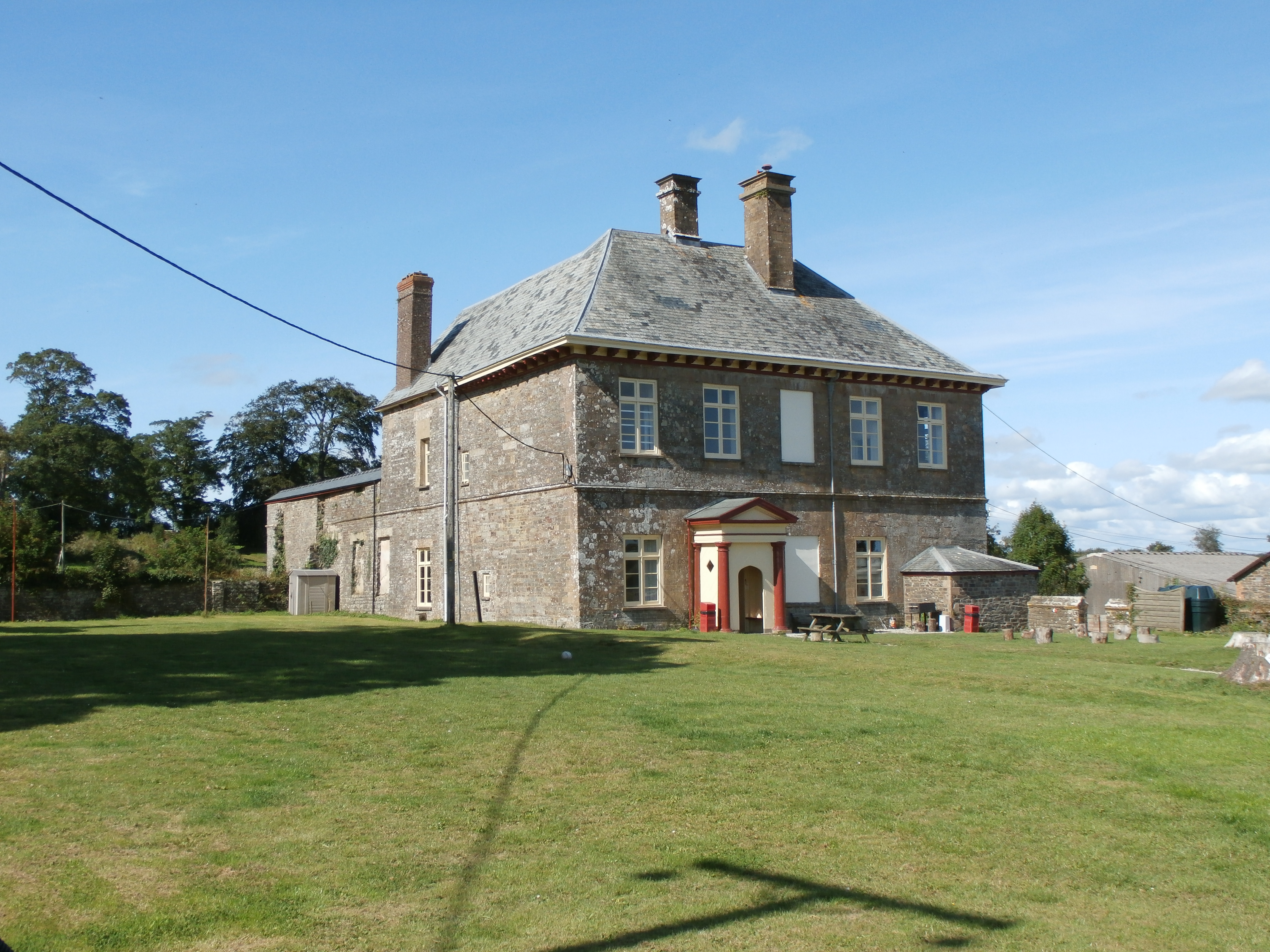
Hatches Brake Plantation is a picturesque woodland located in the county of Devon, England. Situated in the heart of the beautiful countryside, the plantation covers an area of approximately 200 acres, offering a tranquil retreat for nature lovers and outdoor enthusiasts.

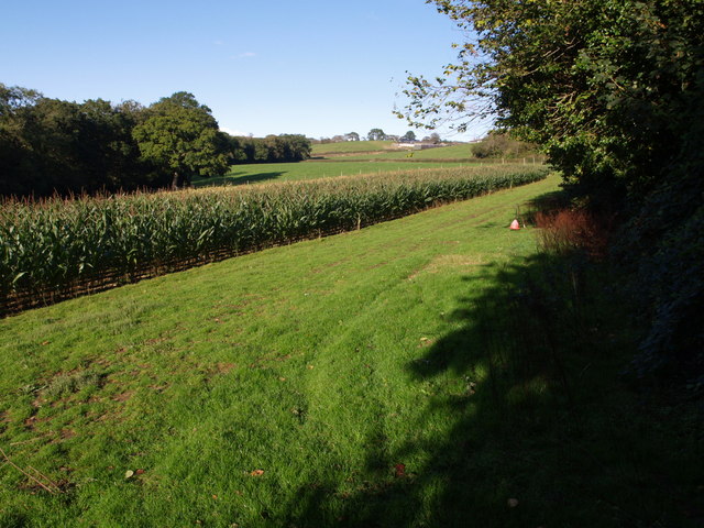
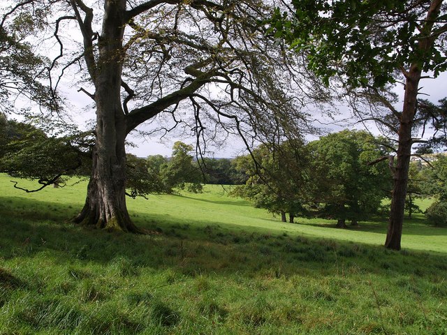
The plantation is characterized by its dense woodland, comprising a mix of deciduous and coniferous trees. Towering oak, beech, and birch trees dominate the landscape, creating a rich and diverse habitat for a variety of flora and fauna. The forest floor is adorned with an array of wildflowers, providing a burst of color during the spring and summer months.

Hatches Brake Plantation is a haven for wildlife, attracting a wide range of species. The woodland is home to deer, badgers, foxes, and a multitude of bird species, including owls, woodpeckers, and warblers. Nature enthusiasts can also spot various butterflies and insects fluttering through the trees.

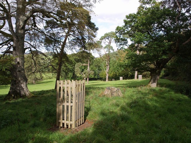
The plantation offers numerous walking trails, allowing visitors to explore the woodland at their own pace. These well-maintained paths wind through the forest, leading to hidden glades, babbling brooks, and enchanting clearings. It is an ideal location for a peaceful stroll or a family picnic amidst the natural beauty of the surroundings.

Hatches Brake Plantation is a popular destination for outdoor activities such as bird watching, photography, and even camping. The serene atmosphere and the abundance of wildlife make it a truly special place to connect with nature and escape the hustle and bustle of everyday life.

Overall, Hatches Brake Plantation in Devon is a stunning woodland that offers a delightful experience for nature enthusiasts, providing an opportunity to immerse oneself in the tranquility of the natural world.

If you have any feedback on the listing, please let us know in the comments section below.

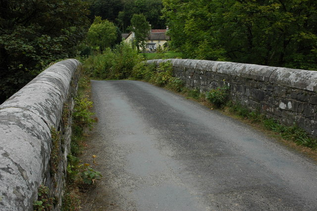
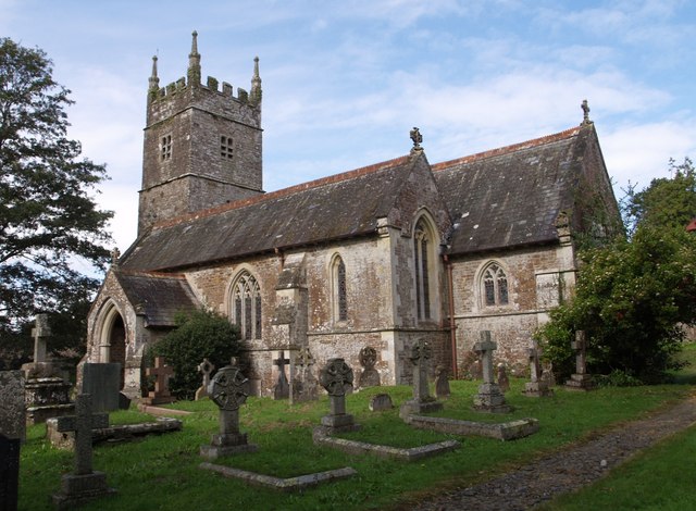
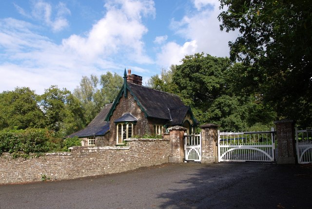
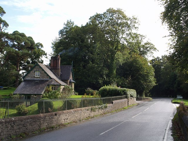
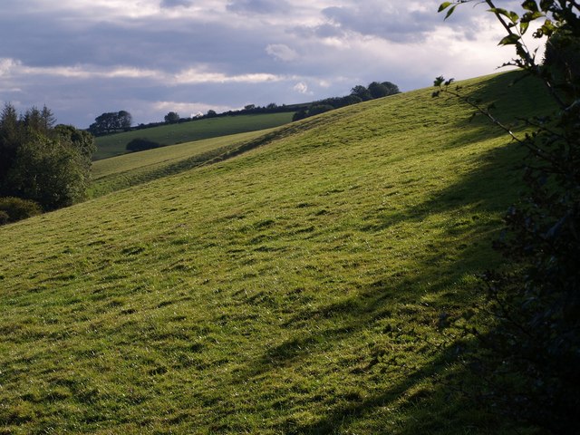
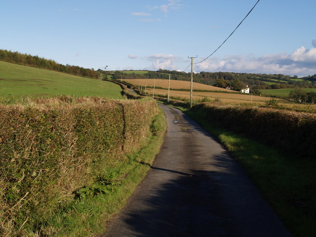
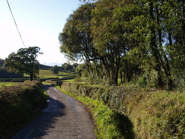
Hatches Brake Plantation Images

Images are sourced within 2km of 50.894066/-4.0836658 or Grid Reference SS5312. Thanks to Geograph Open Source API. All images are credited.

River Torridge at New Bridge There are lots of New Bridges in Devon. The Tarka Trail crosses this one a couple of miles west of Dolton.
River Torridge at New Bridge
There are lots of New Bridges in Devon. The Tarka Trail crosses this one a couple of miles west of Dolton.
Merton Church Another Devon location where my BLIGHT ancestors came from.
Merton Church
Another Devon location where my BLIGHT ancestors came from.
Merton: cottage by Merton Mill Cross As the signpost states, the road on the left leads to Beaford – via Balls Corner and Beaford Mill, on the river Torridge
Merton: cottage by Merton Mill Cross
As the signpost states, the road on the left leads to Beaford – via Balls Corner and Beaford Mill, on the river Torridge
View across the Torridge from Halsdon View across the Torridge from Halsdon (Devon Wildlife Trust reserve) showing a hide on the far bank.
View across the Torridge from Halsdon
View across the Torridge from Halsdon (Devon Wildlife Trust reserve) showing a hide on the far bank.
View of the Torridge from Halsdon View of the Torridge valley from Halsdon (Devon Wildlife Trust reserve).
View of the Torridge from Halsdon
View of the Torridge valley from Halsdon (Devon Wildlife Trust reserve).
The River Torridge near Beaford The River Torridge passing Beaford Wood to the south-west of the village of Beaford.
The River Torridge near Beaford
The River Torridge passing Beaford Wood to the south-west of the village of Beaford.
Beaford Bridge and Beaford Mill Beaford Bridge crosses the river Torridge. The picturesque Beaford Mills can be seen in the background.
Beaford Bridge and Beaford Mill
Beaford Bridge crosses the river Torridge. The picturesque Beaford Mills can be seen in the background.
St James the Less church, Huish The church was heavily restored by G E Street in 1873; only the medieval tower remains as it was.
St James the Less church, Huish
The church was heavily restored by G E Street in 1873; only the medieval tower remains as it was.
Lower Lodge Close to Kingsford Bridge on the A386 over the Little Mere River.
Lower Lodge
Close to Kingsford Bridge on the A386 over the Little Mere River.
Hillies Wood The view from a gateway near Whiteland Head. A rather small stream occupying quite a broad valley emerges from the wood. The lane to Balls Corner Cross  continues, on the left, into SS5413 - photos <a href="https://www.geograph.org.uk/photo/570031">SS5413 : Countryside near Balls</a>, <a href="https://www.geograph.org.uk/photo/569969">SS5413 : Balls</a> and <a href="https://www.geograph.org.uk/photo/569981">SS5413 : Lane to  Whiteland Head</a> were all taken from where the lane goes out of sight.
Hillies Wood
The view from a gateway near Whiteland Head. A rather small stream occupying quite a broad valley emerges from the wood. The lane to Balls Corner Cross continues, on the left, into SS5413 - photos SS5413 : Countryside near Balls, SS5413 : Balls and SS5413 : Lane to Whiteland Head were all taken from where the lane goes out of sight.
Maize field by the Torridge The river, flowing in a deep incised meander, is just some 10 metres through the trees on the left. To the right is the edge of Poundcleave Wood. The farm in the distance is Yeory.
Maize field by the Torridge
The river, flowing in a deep incised meander, is just some 10 metres through the trees on the left. To the right is the edge of Poundcleave Wood. The farm in the distance is Yeory.
The Hellings Part of the parkland at Heanton Satchville, on slopes above the valley of the River Mere. Seen from Huish Footpath 3.
The Hellings
Part of the parkland at Heanton Satchville, on slopes above the valley of the River Mere. Seen from Huish Footpath 3.
The Hellings An assortment of parkland trees beside Huish Footpath 3. <a href="https://www.geograph.org.uk/photo/569628">SS5311 : The Hellings</a> looks across to the west.
The Hellings
An assortment of parkland trees beside Huish Footpath 3. SS5311 : The Hellings looks across to the west.
Lych gate, Huish Looking out from the churchyard of <a href="https://www.geograph.org.uk/photo/567493">SS5311 : St James the Less church, Huish</a>. The paving beyond the tiles in very similar to <a href="https://www.geograph.org.uk/photo/569349">SS5408 : Path to church, Meeth</a>. Beyond the roadway is a calvary.
Lych gate, Huish
Looking out from the churchyard of SS5311 : St James the Less church, Huish. The paving beyond the tiles in very similar to SS5408 : Path to church, Meeth. Beyond the roadway is a calvary.
Lower Lodge Another view of <a href="https://www.geograph.org.uk/photo/567513">SS5211 : Lower Lodge</a> from the A386 at Kingsford Bridge over the Little Mere River. The junction on the right is with a lane to Petrockstowe.
Lower Lodge
Another view of SS5211 : Lower Lodge from the A386 at Kingsford Bridge over the Little Mere River. The junction on the right is with a lane to Petrockstowe.
Field at Whiteland Head From the same gateway as <a href="https://www.geograph.org.uk/photo/568070">SS5313 : Hillies Wood</a>, a view of a steep field above Hillies Wood.
Field at Whiteland Head
From the same gateway as SS5313 : Hillies Wood, a view of a steep field above Hillies Wood.
Balls Balls is the white farm across the fields. The lane is leading from Whiteland Head to Balls Corner Cross.
Balls
Balls is the white farm across the fields. The lane is leading from Whiteland Head to Balls Corner Cross.
Lane to  Whiteland Head Looking in the opposite direction from close to the spot where <a href="https://www.geograph.org.uk/photo/569969">SS5413 : Balls</a> was taken. The lane is about to cross a gridline; the tree on the left is just inside SS5313.
Lane to Whiteland Head
Looking in the opposite direction from close to the spot where SS5413 : Balls was taken. The lane is about to cross a gridline; the tree on the left is just inside SS5313.
Show me another place!

Hatches Brake Plantation is located at Grid Ref: SS5312 (Lat: 50.894066, Lng: -4.0836658)

Administrative County: Devon

District: Torridge

Police Authority: Devon and Cornwall

What 3 Words

///rejoiced.exotic.recline. Near Great Torrington, Devon

Related Wikis

Barometer World

Barometer World was the world's only barometer museum, and was located in the village of Merton, near Great Torrington, Devon, England. Barometer World...
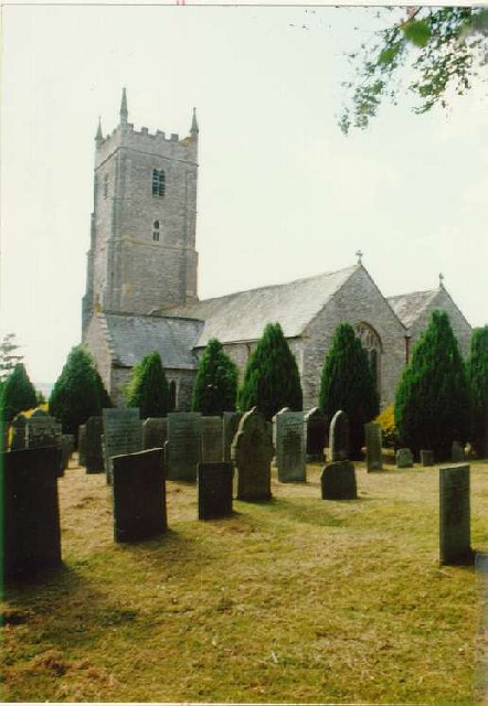
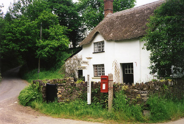
Merton, Devon

Merton is a village, ecclesiastical parish, former manor and civil parish administered by the local government district of Torridge, Devon, England. The...

Huish, Torridge

Huish (anciently Hiwis) is a small village, civil parish and former manor in the Torridge district of Devon, England. The eastern boundary of the parish...

Brealeys

Brealeys is a village in Devon, England. == References == == External links == Media related to Brealeys at Wikimedia Commons

Petrockstow railway station

Petrockstow railway station was a station serving the village of Petrockstowe in West Devon, which is about one mile away. The station was, throughout...

Potheridge

Potheridge (alias Great Potheridge, Poderigge, Poderidge or Powdrich) is a former Domesday Book estate in the parish of Merton, in the historic hundred...

Dunsbear Halt railway station

Dunsbear Halt was a relatively well-used halt on the initially privately run North Devon and Cornwall Junction Light Railway. Opened in 1925 and closed...

Marland Works railway station

Marlands Works was a busy industrial site for just over a century, firstly on the Torrington and Marland Railway, built to carry bricks and clay on a three...

Nearby Amenities

Located within 500m of 50.894066,-4.0836658
Post Box
Brand: Royal Mail
Brand Wikidata: Q638098
Brand Wikipedia: en:Royal Mail
Collection Times: Mo-Fr 09:00; Sa 07:00; Su off
Drive Through: no
Operator: Royal Mail
Operator Wikidata: Q638098
Post Box Mounting: concrete_post
Post Box Type: lamp
Ref: EX20 97D
Royal Cypher: EIIR
Royal Cypher Wikidata: Q33102113
Source: survey;streetlevel imagery;aerial imagery
Lat/Long: 50.8953754/-4.0808632
The data included in this document is from www.openstreetmap.org. The data is made available under ODbL.

Have you been to Hatches Brake Plantation?

Leave your review of Hatches Brake Plantation below (or comments, questions and feedback).