Cot Wood

Wood, Forest in Devon Torridge

England

Cot Wood

River Torridge at New Bridge There are lots of New Bridges in Devon. The Tarka Trail crosses this one a couple of miles west of Dolton.
River Torridge at New Bridge Credit: Grant Sherman

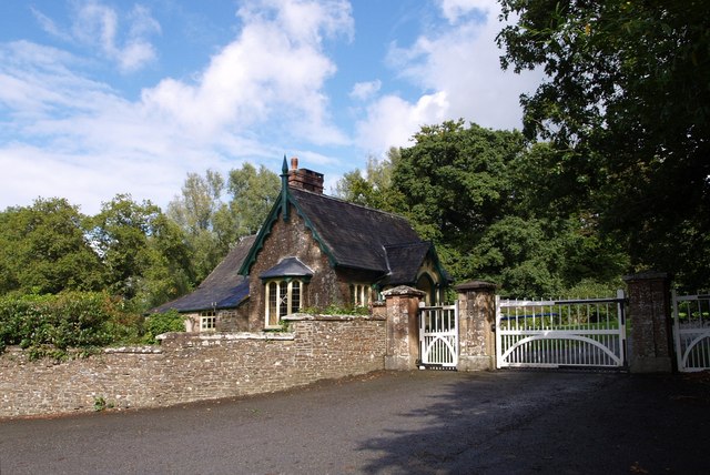
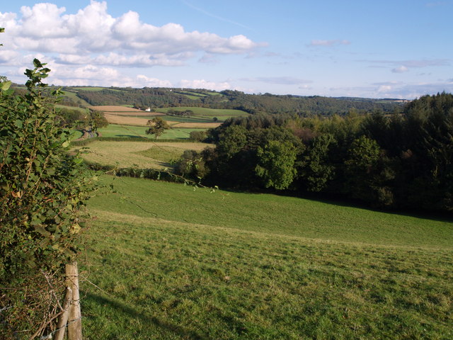
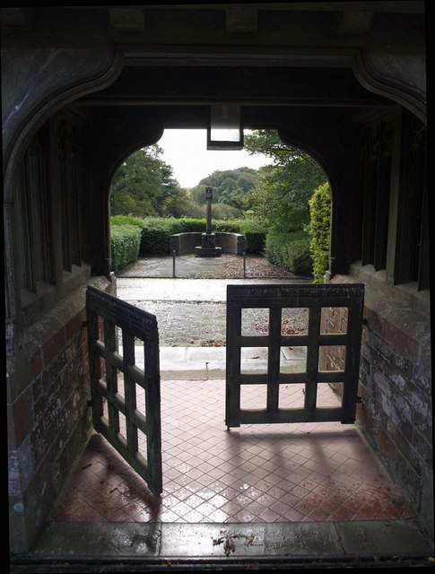
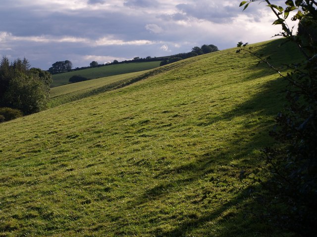
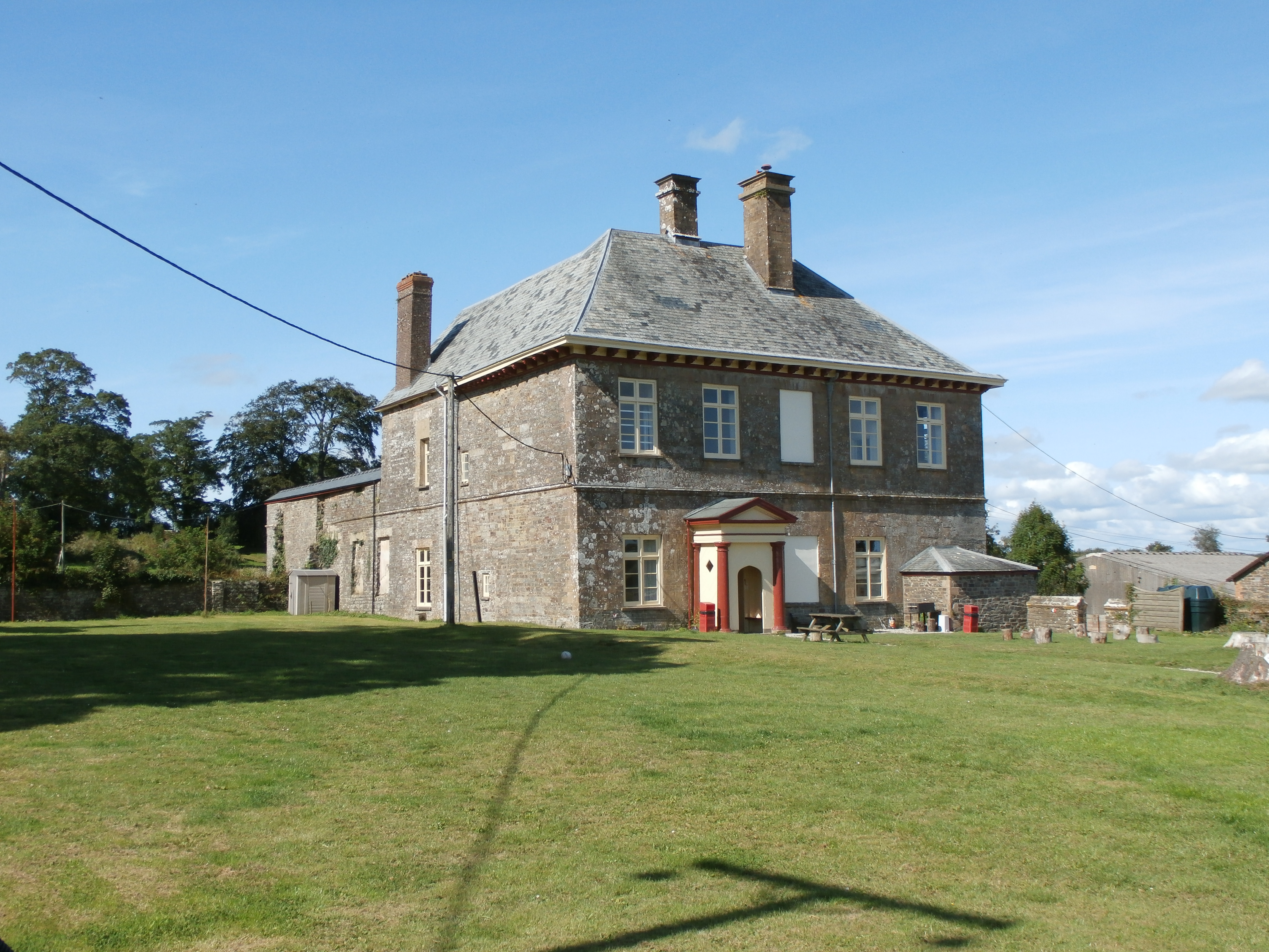
Cot Wood is a picturesque forest located in the county of Devon, England. Covering an area of approximately 100 acres, it is nestled within the scenic landscape of the Dartmoor National Park. The wood is known for its diverse range of plant and animal species, making it a popular destination for nature enthusiasts and wildlife lovers.

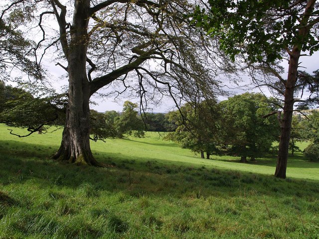
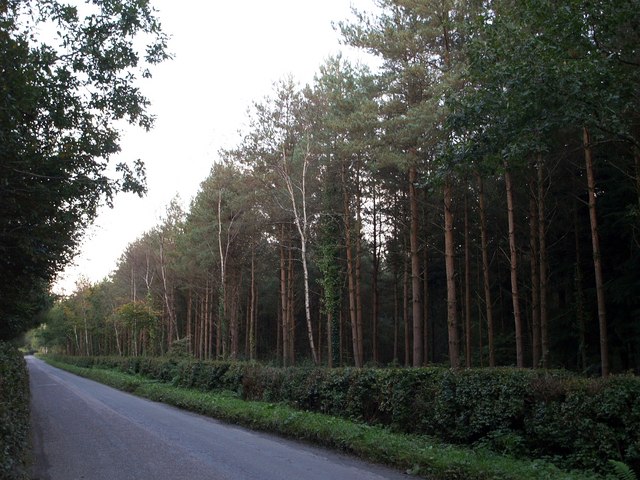
The forest is predominantly composed of native broadleaf trees, including oak, beech, and birch, creating a dense canopy that provides shade and shelter for the woodland floor. The floor itself is covered in a rich carpet of mosses, ferns, and wildflowers, adding to the enchanting ambiance of the wood.

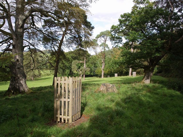
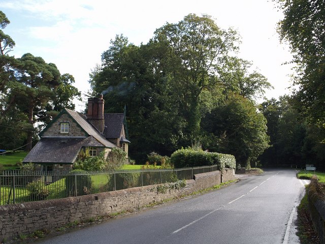
Visitors to Cot Wood can explore a network of well-maintained footpaths that wind through the forest, offering stunning views of the surrounding countryside. The paths lead to various points of interest, such as a tranquil stream that meanders through the wood, providing a peaceful spot for visitors to relax and enjoy the soothing sounds of nature.

The forest is also home to a diverse range of wildlife, including deer, squirrels, and a plethora of bird species. Birdwatchers can spot woodpeckers, owls, and various songbirds, making Cot Wood a haven for birdwatching enthusiasts.

Cot Wood offers a serene and tranquil escape from the bustle of everyday life, providing a perfect setting for outdoor activities such as hiking, picnicking, and photography. With its natural beauty and abundant wildlife, Cot Wood is a must-visit destination for those seeking a peaceful retreat in the heart of Devon.

If you have any feedback on the listing, please let us know in the comments section below.
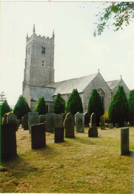
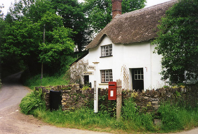
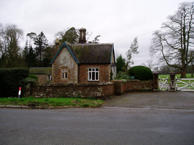
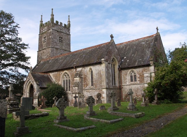
Cot Wood Images

Images are sourced within 2km of 50.888819/-4.0893892 or Grid Reference SS5312. Thanks to Geograph Open Source API. All images are credited.

River Torridge at New Bridge There are lots of New Bridges in Devon. The Tarka Trail crosses this one a couple of miles west of Dolton.
River Torridge at New Bridge
There are lots of New Bridges in Devon. The Tarka Trail crosses this one a couple of miles west of Dolton.
Merton Church Another Devon location where my BLIGHT ancestors came from.
Merton Church
Another Devon location where my BLIGHT ancestors came from.
Merton: cottage by Merton Mill Cross As the signpost states, the road on the left leads to Beaford – via Balls Corner and Beaford Mill, on the river Torridge
Merton: cottage by Merton Mill Cross
As the signpost states, the road on the left leads to Beaford – via Balls Corner and Beaford Mill, on the river Torridge
Gatehouse of the Clinton Estate, Merton This is one of two gatehouses of the Clinton Estate in Merton
Gatehouse of the Clinton Estate, Merton
This is one of two gatehouses of the Clinton Estate in Merton
Leytown A farm in a shallow valley west of the Torridge, seen from the Tarka Trail as it follows the lane from Broadmead to New Bridge.
Leytown
A farm in a shallow valley west of the Torridge, seen from the Tarka Trail as it follows the lane from Broadmead to New Bridge.
St James the Less church, Huish The church was heavily restored by G E Street in 1873; only the medieval tower remains as it was.
St James the Less church, Huish
The church was heavily restored by G E Street in 1873; only the medieval tower remains as it was.
Lower Lodge Close to Kingsford Bridge on the A386 over the Little Mere River.
Lower Lodge
Close to Kingsford Bridge on the A386 over the Little Mere River.
Hillies Wood The view from a gateway near Whiteland Head. A rather small stream occupying quite a broad valley emerges from the wood. The lane to Balls Corner Cross  continues, on the left, into SS5413 - photos <a href="https://www.geograph.org.uk/photo/570031">SS5413 : Countryside near Balls</a>, <a href="https://www.geograph.org.uk/photo/569969">SS5413 : Balls</a> and <a href="https://www.geograph.org.uk/photo/569981">SS5413 : Lane to  Whiteland Head</a> were all taken from where the lane goes out of sight.
Hillies Wood
The view from a gateway near Whiteland Head. A rather small stream occupying quite a broad valley emerges from the wood. The lane to Balls Corner Cross continues, on the left, into SS5413 - photos SS5413 : Countryside near Balls, SS5413 : Balls and SS5413 : Lane to Whiteland Head were all taken from where the lane goes out of sight.
The Hellings Part of the parkland at Heanton Satchville, on slopes above the valley of the River Mere. Seen from Huish Footpath 3.
The Hellings
Part of the parkland at Heanton Satchville, on slopes above the valley of the River Mere. Seen from Huish Footpath 3.
The Hellings An assortment of parkland trees beside Huish Footpath 3. <a href="https://www.geograph.org.uk/photo/569628">SS5311 : The Hellings</a> looks across to the west.
The Hellings
An assortment of parkland trees beside Huish Footpath 3. SS5311 : The Hellings looks across to the west.
Lych gate, Huish Looking out from the churchyard of <a href="https://www.geograph.org.uk/photo/567493">SS5311 : St James the Less church, Huish</a>. The paving beyond the tiles in very similar to <a href="https://www.geograph.org.uk/photo/569349">SS5408 : Path to church, Meeth</a>. Beyond the roadway is a calvary.
Lych gate, Huish
Looking out from the churchyard of SS5311 : St James the Less church, Huish. The paving beyond the tiles in very similar to SS5408 : Path to church, Meeth. Beyond the roadway is a calvary.
Lower Lodge Another view of <a href="https://www.geograph.org.uk/photo/567513">SS5211 : Lower Lodge</a> from the A386 at Kingsford Bridge over the Little Mere River. The junction on the right is with a lane to Petrockstowe.
Lower Lodge
Another view of SS5211 : Lower Lodge from the A386 at Kingsford Bridge over the Little Mere River. The junction on the right is with a lane to Petrockstowe.
Field at Whiteland Head From the same gateway as <a href="https://www.geograph.org.uk/photo/568070">SS5313 : Hillies Wood</a>, a view of a steep field above Hillies Wood.
Field at Whiteland Head
From the same gateway as SS5313 : Hillies Wood, a view of a steep field above Hillies Wood.
Countryside near Balls A view from close to where <a href="https://www.geograph.org.uk/photo/569969">SS5413 : Balls</a> and <a href="https://www.geograph.org.uk/photo/569981">SS5413 : Lane to  Whiteland Head</a> were taken, across the valley mentioned in <a href="https://www.geograph.org.uk/photo/568070">SS5313 : Hillies Wood</a>. The woods on the far slope are Highridge Copse (left) and New Plantation (centre right); the small wood between them is at Highridge. On the right, Hillies Wood is casting a long evening shadow.
Countryside near Balls
A view from close to where SS5413 : Balls and SS5413 : Lane to Whiteland Head were taken, across the valley mentioned in SS5313 : Hillies Wood. The woods on the far slope are Highridge Copse (left) and New Plantation (centre right); the small wood between them is at Highridge. On the right, Hillies Wood is casting a long evening shadow.
Burymoor Plantation A rather gloomy road that links Petrockstowe station on the Tarka Trail with the A386 near Merton. Burymoor Plantation is on the right; on the left is Baker's Plantation.
Burymoor Plantation
A rather gloomy road that links Petrockstowe station on the Tarka Trail with the A386 near Merton. Burymoor Plantation is on the right; on the left is Baker's Plantation.
Merton Methodist Church This appears to have been converted into a private dwelling, but has been renovated very sympathetically. The road is the A386 between Merton and Great Torrington. The telephone box shown on maps has vanished.
Merton Methodist Church
This appears to have been converted into a private dwelling, but has been renovated very sympathetically. The road is the A386 between Merton and Great Torrington. The telephone box shown on maps has vanished.
Grazing and Arable Land This square contains both grazing and arable land as in the darker field in the distance, and also has rich woodland and plantations.
Grazing and Arable Land
This square contains both grazing and arable land as in the darker field in the distance, and also has rich woodland and plantations.
Wheat Growing A wheatfield coming into flower.
Wheat Growing
A wheatfield coming into flower.
Show me another place!

Cot Wood is located at Grid Ref: SS5312 (Lat: 50.888819, Lng: -4.0893892)

Administrative County: Devon

District: Torridge

Police Authority: Devon and Cornwall

What 3 Words

///apes.belt.squirts. Near Hatherleigh, Devon

Related Wikis

Barometer World

Barometer World was the world's only barometer museum, and was located in the village of Merton, near Great Torrington, Devon, England. Barometer World...

Merton, Devon

Merton is a village, ecclesiastical parish, former manor and civil parish administered by the local government district of Torridge, Devon, England. The...

Huish, Torridge

Huish (anciently Hiwis) is a small village, civil parish and former manor in the Torridge district of Devon, England. The eastern boundary of the parish...

Petrockstow railway station

Petrockstow railway station was a station serving the village of Petrockstowe in West Devon, which is about one mile away. The station was, throughout...

Brealeys

Brealeys is a village in Devon, England. == References == == External links == Media related to Brealeys at Wikimedia Commons

Marland Works railway station

Marlands Works was a busy industrial site for just over a century, firstly on the Torrington and Marland Railway, built to carry bricks and clay on a three...

Dunsbear Halt railway station

Dunsbear Halt was a relatively well-used halt on the initially privately run North Devon and Cornwall Junction Light Railway. Opened in 1925 and closed...

Potheridge

Potheridge (alias Great Potheridge, Poderigge, Poderidge or Powdrich) is a former Domesday Book estate in the parish of Merton, in the historic hundred...

Nearby Amenities

Located within 500m of 50.888819,-4.0893892
Merton
Place: village
Lat/Long: 50.8905434/-4.0954287
Direction: 175
Generator Method: photovoltaic
Generator Output Electricity: yes
Generator Solar Modules: 16
Generator Source: solar
Generator Type: solar_photovoltaic_panel
Location: roof
Power: generator
Lat/Long: 50.8876703/-4.0953188
Direction: WSW
Generator Method: photovoltaic
Generator Output Electricity: yes
Generator Solar Modules: 8
Generator Source: solar
Generator Type: solar_photovoltaic_panel
Location: roof
Power: generator
Lat/Long: 50.8896702/-4.0948802
Direction: SSE
Generator Method: photovoltaic
Generator Output Electricity: yes
Generator Solar Modules: 6
Generator Source: solar
Generator Type: solar_photovoltaic_panel
Location: roof
Power: generator
Lat/Long: 50.8896812/-4.094783
Direction: SSE
Generator Method: photovoltaic
Generator Output Electricity: yes
Generator Solar Modules: 12
Generator Source: solar
Generator Type: solar_photovoltaic_panel
Location: roof
Power: generator
Lat/Long: 50.8892164/-4.0951404
Direction: SSE
Generator Method: photovoltaic
Generator Output Electricity: yes
Generator Solar Modules: 12
Generator Source: solar
Generator Type: solar_photovoltaic_panel
Location: roof
Power: generator
Lat/Long: 50.8891859/-4.0952423
Direction: SSE
Generator Method: photovoltaic
Generator Output Electricity: yes
Generator Solar Modules: 12
Generator Source: solar
Generator Type: solar_photovoltaic_panel
Location: roof
Power: generator
Lat/Long: 50.8891453/-4.0954489
Direction: SSE
Generator Method: photovoltaic
Generator Output Electricity: yes
Generator Solar Modules: 12
Generator Source: solar
Generator Type: solar_photovoltaic_panel
Location: roof
Power: generator
Lat/Long: 50.8891131/-4.0955776
Direction: SE
Generator Method: photovoltaic
Generator Output Electricity: yes
Generator Solar Modules: 6
Generator Source: solar
Generator Type: solar_photovoltaic_panel
Location: roof
Power: generator
Lat/Long: 50.8898805/-4.0950787
Direction: ENE
Generator Method: photovoltaic
Generator Output Electricity: yes
Generator Solar Modules: 6
Generator Source: solar
Generator Type: solar_photovoltaic_panel
Location: roof
Power: generator
Lat/Long: 50.8912552/-4.094781
Direction: WSW
Generator Method: photovoltaic
Generator Output Electricity: yes
Generator Solar Modules: 10
Generator Source: solar
Generator Type: solar_photovoltaic_panel
Location: roof
Power: generator
Lat/Long: 50.8912425/-4.0948252
Direction: SE
Generator Method: photovoltaic
Generator Output Electricity: yes
Generator Solar Modules: 4
Generator Source: solar
Generator Type: solar_photovoltaic_panel
Location: roof
Power: generator
Lat/Long: 50.8909489/-4.0925206
Direction: 190
Generator Method: photovoltaic
Generator Output Electricity: yes
Generator Solar Modules: 12
Generator Source: solar
Generator Type: solar_photovoltaic_panel
Location: roof
Power: generator
Lat/Long: 50.8894177/-4.0955615
Direction: 190
Generator Method: photovoltaic
Generator Output Electricity: yes
Generator Solar Modules: 12
Generator Source: solar
Generator Type: solar_photovoltaic_panel
Location: roof
Power: generator
Lat/Long: 50.8896055/-4.0953255
Direction: 190
Generator Method: photovoltaic
Generator Output Electricity: yes
Generator Solar Modules: 12
Generator Source: solar
Generator Type: solar_photovoltaic_panel
Location: roof
Power: generator
Lat/Long: 50.8896224/-4.0954864
Direction: SE
Generator Method: photovoltaic
Generator Output Electricity: yes
Generator Solar Modules: 8
Generator Source: solar
Generator Type: solar_photovoltaic_panel
Location: roof
Power: generator
Lat/Long: 50.8899084/-4.0949768
Post Box
Brand: Royal Mail
Brand Wikidata: Q638098
Brand Wikipedia: en:Royal Mail
Collection Times: Mo-Fr 09:00; Sa 07:00; Su off
Drive Through: no
Operator: Royal Mail
Operator Wikidata: Q638098
Post Box Design: 2010_pattern
Post Box Type: lamp
Ref: EX20 130D
Royal Cypher: EIIR
Royal Cypher Wikidata: Q33102113
Source: streetlevel imagery;aerial imagery
Lat/Long: 50.8895459/-4.095979
Shelter
Shelter Type: public_transport
Lat/Long: 50.8891709/-4.0961014
Telephone
Booth: K6
Covered: booth
Listed Status: Grade II
Lat/Long: 50.8891788/-4.0960585
Merton Garage
Shop: car_repair
Lat/Long: 50.8910604/-4.093292
Defibrillator
Defibrillator Location: On outside wall of The Malt Scoop Inn
Emergency: defibrillator
Indoor: no
Mapillary: 1383635905485380
Lat/Long: 50.8902555/-4.0948773
The data included in this document is from www.openstreetmap.org. The data is made available under ODbL.

Have you been to Cot Wood?

Leave your review of Cot Wood below (or comments, questions and feedback).