Beara Wood

Wood, Forest in Devon West Devon

England

Beara Wood

House near Great Bidlake
House near Great Bidlake Credit: Rob Purvis

Beara Wood is a captivating forest located in the county of Devon, England. Spanning across a vast area, this wood is renowned for its natural beauty and diverse ecosystem. With its enchanting trails and lush vegetation, Beara Wood serves as a popular destination for nature lovers and outdoor enthusiasts.

The wood is predominantly composed of deciduous trees, including oak, beech, and ash, which create a picturesque landscape throughout the year. The dense canopy provides shade during the summer months and transforms into a vibrant display of colors during autumn. The forest floor is carpeted with an array of wildflowers and ferns, adding to the wood's charm and biodiversity.

Wandering through Beara Wood, visitors can stumble upon a myriad of wildlife species. Deer, foxes, and badgers are often spotted roaming freely, while a diverse bird population, including woodpeckers and owls, can be observed perched on branches or soaring through the sky. The wood is also home to a variety of smaller creatures such as squirrels, rabbits, and hedgehogs.

Numerous trails wind through Beara Wood, catering to hikers of all levels. These paths offer an opportunity to explore the wood's hidden treasures, including secluded clearings, babbling brooks, and ancient stone formations. The tranquil atmosphere and natural beauty make the wood an ideal spot for picnics, photography, and simply immersing oneself in the wonders of nature.

Beara Wood, with its diverse flora and fauna, breathtaking scenery, and peaceful ambiance, stands as a testament to the natural wonders of Devon. It is a place where visitors can escape the hustle and bustle of everyday life and find solace in the tranquility of the forest.

If you have any feedback on the listing, please let us know in the comments section below.
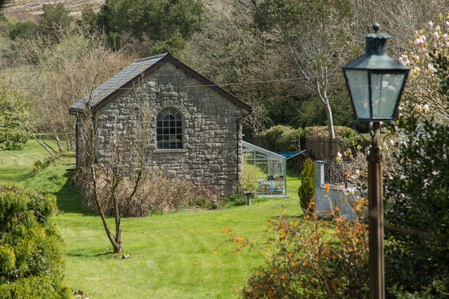
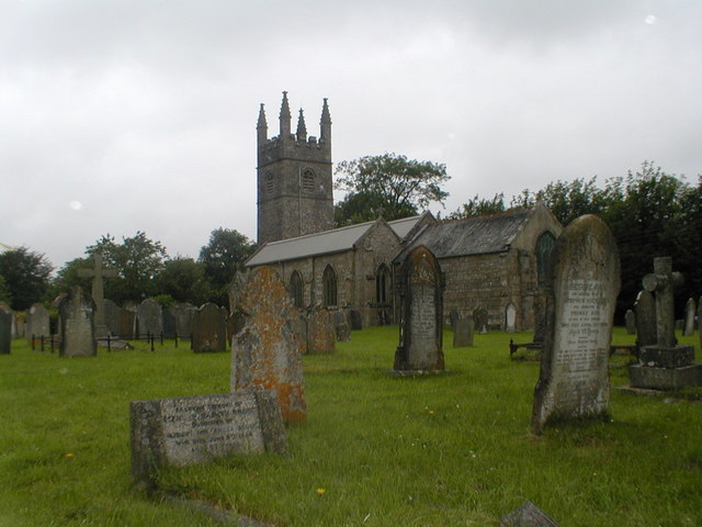
Beara Wood Images

Images are sourced within 2km of 50.666803/-4.1151057 or Grid Reference SX5087. Thanks to Geograph Open Source API. All images are credited.

House near Great Bidlake
Down hill 8% on the old A30
Old Milestone by the former A30, Bridestowe parish Carved stone post by the UC road (was A30), in parish of BRIDESTOWE (WEST DEVON District), East of Combebow Bridge on grass verge, on North side of road, and 300m up the hill from the Turnpike Terminus stone: DV_LAEX09t <a href="https://www.geograph.org.uk/photo/6049549">SX4887 : Old Boundary Marker by the former A30, Comebow</a>. Okehampton tombstone, erected by the Okehampton turnpike trust in the 18th century. 

Inscription reads:-
OKEHAMPTON
8
MILES
Carved benchmark on lower face.

Devon & Dartmoor HER.
HER Number: MDV39616 <span class="nowrap"><a title="https://www.heritagegateway.org.uk/Gateway/Results_Single.aspx?uid=MDV39616&resourceID=104" rel="nofollow ugc noopener" href="https://www.heritagegateway.org.uk/Gateway/Results_Single.aspx?uid=MDV39616&resourceID=104">Link</a><img style="margin-left:2px;" alt="External link" title="External link - shift click to open in new window" src="https://s1.geograph.org.uk/img/external.png" width="10" height="10"/></span>

Milestone Society National ID: DV_LAOK10A.
Old Milestone by the former A30, Bridestowe parish
Carved stone post by the UC road (was A30), in parish of BRIDESTOWE (WEST DEVON District), East of Combebow Bridge on grass verge, on North side of road, and 300m up the hill from the Turnpike Terminus stone: DV_LAEX09t SX4887 : Old Boundary Marker by the former A30, Comebow. Okehampton tombstone, erected by the Okehampton turnpike trust in the 18th century. Inscription reads:- OKEHAMPTON 8 MILES Carved benchmark on lower face. Devon & Dartmoor HER. HER Number: MDV39616 LinkExternal link Milestone Society National ID: DV_LAOK10A.
Burley Wood Cottage, Bridestowe, 1947 The pictures in my mother's photo album suggests that this was a holiday cottage where we stayed in 1947
Burley Wood Cottage, Bridestowe, 1947
The pictures in my mother's photo album suggests that this was a holiday cottage where we stayed in 1947
Burley Wood Cottage, Bridestowe, 1947 The pictures in my mother's photo album suggests that this was a holiday cottage where we stayed in 1947
Burley Wood Cottage, Bridestowe, 1947
The pictures in my mother's photo album suggests that this was a holiday cottage where we stayed in 1947
Badger's Well Cottages on the old A30 A row of cottages west of Bridestowe
Badger's Well Cottages on the old A30
A row of cottages west of Bridestowe
Lay-by near Combebow As this road was the main route into Cornwall for many years, lay-bys were essential features of the road.  The woods are north of Combebow Bridge <a href="https://www.geograph.org.uk/gridref/SX4887">SX4887</a> and <a href="https://www.geograph.org.uk/gridref/SX4888">SX4888</a>
Lay-by near Combebow
As this road was the main route into Cornwall for many years, lay-bys were essential features of the road. The woods are north of Combebow Bridge SX4887 and SX4888
Beside the woodland on Galford Down This is part of the Forestry Commission woodland of Lydford Forest
Beside the woodland on Galford Down
This is part of the Forestry Commission woodland of Lydford Forest
Track into Lydford Forest
The West Devon Way
The West Devon Way
West Devon Way Heading south from Station Road, Bridestowe.
West Devon Way
Heading south from Station Road, Bridestowe.
Bridestowe Station An ex-railway building in the grounds of Bridestowe Station House. It was once a goods shed.
Bridestowe Station
An ex-railway building in the grounds of Bridestowe Station House. It was once a goods shed.
Ordnance Survey Cut Mark This OS cut mark can be found on the NE parapet of the railway bridge. It marks a point 248.097m above mean sea level.
Ordnance Survey Cut Mark
This OS cut mark can be found on the NE parapet of the railway bridge. It marks a point 248.097m above mean sea level.
Fernworthy Down A view of the heathland of Fernworthy Down looking over a pasture field from the Granite Way cycle track.
Fernworthy Down
A view of the heathland of Fernworthy Down looking over a pasture field from the Granite Way cycle track.
Road leading to Bridestowe Station Avenue of Beeches in Station Road, leading to the long-closed railway
Road leading to Bridestowe Station
Avenue of Beeches in Station Road, leading to the long-closed railway
Fernworthy Down Ford This ford is found on the West Devon Way on Fernworthy Down.
Fernworthy Down Ford
This ford is found on the West Devon Way on Fernworthy Down.
Old Milestone by Launceston Road, Stone Farm Carved stone post by the UC road (was A30), in parish of BRIDESTOWE (WEST DEVON District), Stone Farm, 100m East of crossroads to Boasley and Watergate, in bank by small pull-in lay-by, on North side of road. Okehampton tombstone, erected by the Okehampton turnpike trust in the 19th century. 

Inscription reads:-
OKEHAMPTON
7
MILES

Devon & Dartmoor HER listed.
HER Number: MDV39655 <span class="nowrap"><a title="https://www.heritagegateway.org.uk/Gateway/Results_Single.aspx?uid=MDV39655&resourceID=104" rel="nofollow ugc noopener" href="https://www.heritagegateway.org.uk/Gateway/Results_Single.aspx?uid=MDV39655&resourceID=104">Link</a><img style="margin-left:2px;" alt="External link" title="External link - shift click to open in new window" src="https://s1.geograph.org.uk/img/external.png" width="10" height="10"/></span>

Milestone Society National ID: DV_LAOK11
Old Milestone by Launceston Road, Stone Farm
Carved stone post by the UC road (was A30), in parish of BRIDESTOWE (WEST DEVON District), Stone Farm, 100m East of crossroads to Boasley and Watergate, in bank by small pull-in lay-by, on North side of road. Okehampton tombstone, erected by the Okehampton turnpike trust in the 19th century. Inscription reads:- OKEHAMPTON 7 MILES Devon & Dartmoor HER listed. HER Number: MDV39655 LinkExternal link Milestone Society National ID: DV_LAOK11
Old Direction Sign - Signpost by Station Road, Bridestowe parish Ball finial - 3 arms; Devon ball by the UC road, in parish of Bridestowe (West Devon District), Station Road, junction South of Ashleigh Farm, by National Cycle Route sign, on verge opposite post box.

Surveyed

Milestone Society National ID: DV_SX5188
Old Direction Sign - Signpost by Station Road, Bridestowe parish
Ball finial - 3 arms; Devon ball by the UC road, in parish of Bridestowe (West Devon District), Station Road, junction South of Ashleigh Farm, by National Cycle Route sign, on verge opposite post box. Surveyed Milestone Society National ID: DV_SX5188
Show me another place!

Beara Wood is located at Grid Ref: SX5087 (Lat: 50.666803, Lng: -4.1151057)

Administrative County: Devon

District: West Devon

Police Authority: Devon and Cornwall

What 3 Words

///traded.slowness.cubes. Near Okehampton, Devon

Nearby Locations

Beara Wood Beara Down

Related Wikis

Burley Wood

Burley Wood is the site of an Iron Age hill fort north of Lydford in Devon, England. The fort occupies much of a hilltop some 220 metres above sea level...

Bridestowe railway station

Bridestowe railway station served the 2 miles or so distant village of Bridestowe in West Devon, England, located outside Okehampton on the edge of Dartmoor...

Great Bidlake Manor

Great Bidlake Manor is a Grade II* listed manor house in the parish of Bridestowe on the north western edge of Dartmoor in the county of Devon, England...

Bridestowe

Bridestowe () is a civil parish and village in the district of West Devon, Devon, England. The parish is surrounded clockwise from the north by the parishes...

St Bridget's Church, Bridestowe

St Bridget's Church in Bridestowe, Devon, is a parish church in the Church of England and one of the central buildings in the rural area on the northwestern...

Lydford

Lydford, sometimes spelled Lidford, is a village, once an important town, in Devon, seven miles (11 km) north of Tavistock on the western fringe of Dartmoor...

Combebow

Combebow is a small settlement in Devon, England. It is situated by the River Lew. == External links == Media related to Combebow at Wikimedia Commons...

Lydford Castle

Lydford Castle is a medieval castle in the town of Lydford, Devon, England. The first castle in Lydford, sometimes termed the Norman fort, was a small...

Nearby Amenities

Located within 500m of 50.666803,-4.1151057
Watergate Cross
Place: locality
Lat/Long: 50.6643025/-4.120906
The data included in this document is from www.openstreetmap.org. The data is made available under ODbL.

Have you been to Beara Wood?

Leave your review of Beara Wood below (or comments, questions and feedback).