Chessetts Wood
Settlement in Warwickshire Warwick
England
Chessetts Wood
Chessetts Wood is a small village located in the county of Warwickshire, England. Situated approximately 6 miles southeast of the town of Henley-in-Arden, Chessetts Wood is a picturesque and tranquil area surrounded by lush green fields and woodlands.
The village is known for its rich history, dating back to medieval times when it was primarily an agricultural settlement. Today, it retains its rural charm with a mix of old and new properties, including traditional thatched cottages and modern family homes.
One of the notable features of Chessetts Wood is the eponymous woodland that surrounds the village. Covering an area of approximately 120 acres, the wood is a popular destination for nature lovers and outdoor enthusiasts. It offers a variety of walking trails, picnic spots, and wildlife habitats, making it an ideal place for leisurely strolls or family outings.
Despite being a small village, Chessetts Wood benefits from its close proximity to larger towns and cities. The nearby town of Henley-in-Arden provides essential amenities such as shops, restaurants, and schools. The city of Birmingham is also easily accessible, offering a wide range of cultural, leisure, and employment opportunities.
Chessetts Wood is well-connected by road, with the A3400 running through the village, providing easy access to surrounding areas. Additionally, the nearby railway station in Henley-in-Arden offers regular services to Birmingham and Stratford-upon-Avon.
In summary, Chessetts Wood is a charming village nestled in the idyllic Warwickshire countryside, offering a peaceful and picturesque setting with excellent access to nearby amenities and transport links.
If you have any feedback on the listing, please let us know in the comments section below.
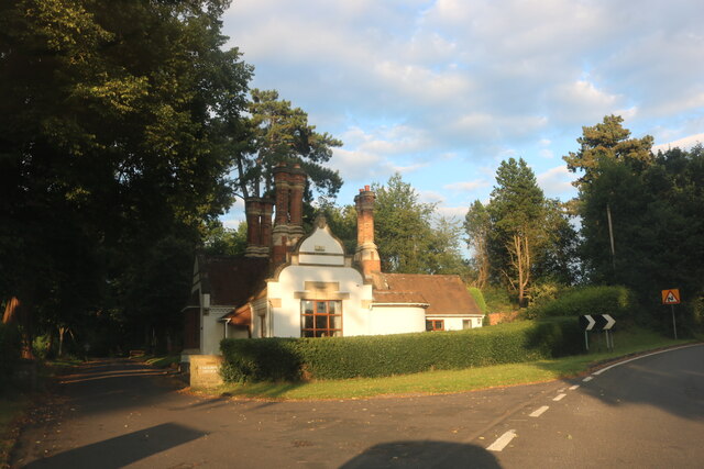
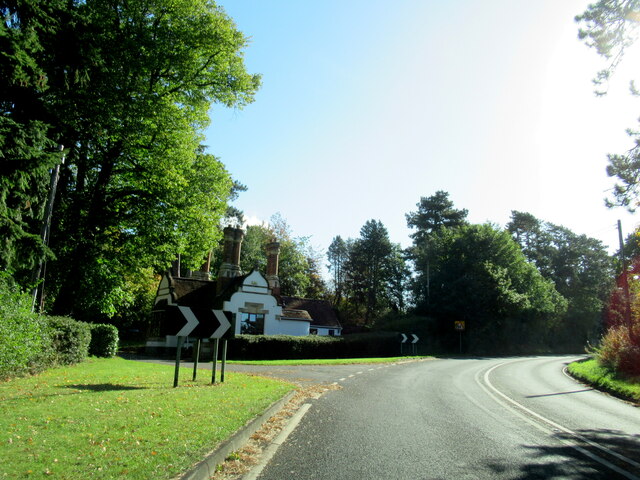
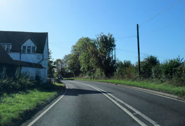
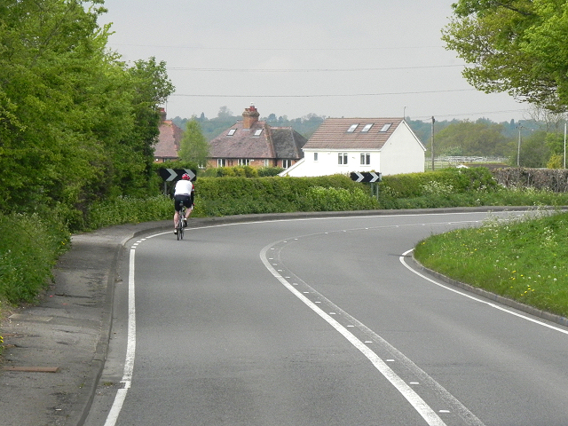
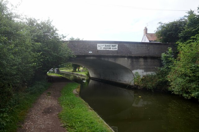
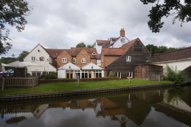
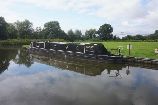
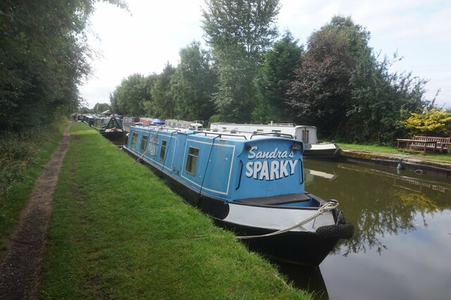
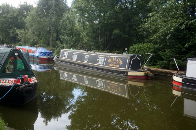
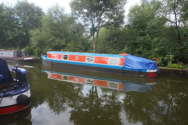
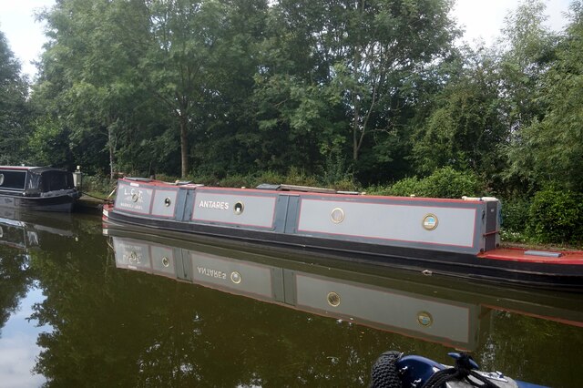
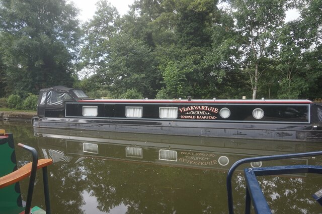
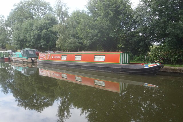
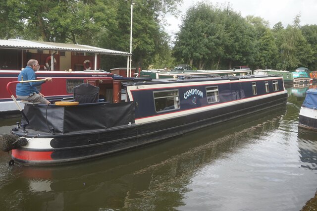
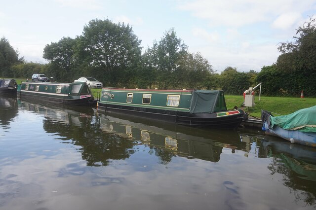
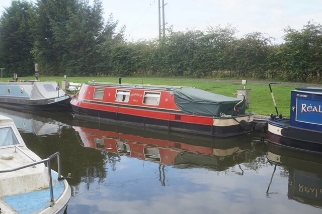
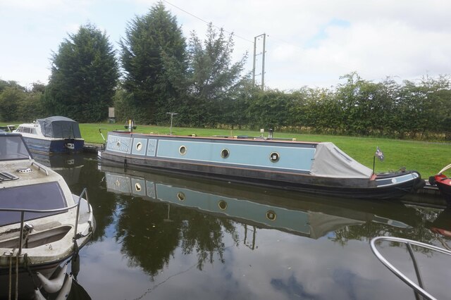
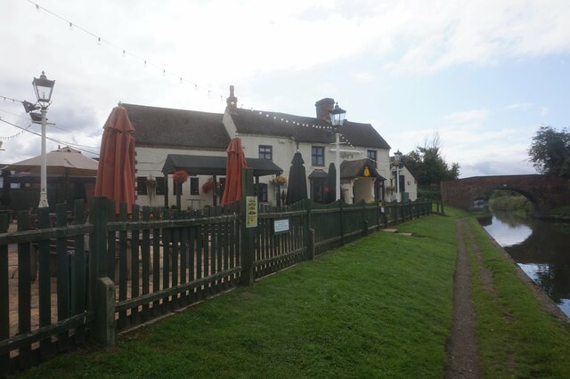
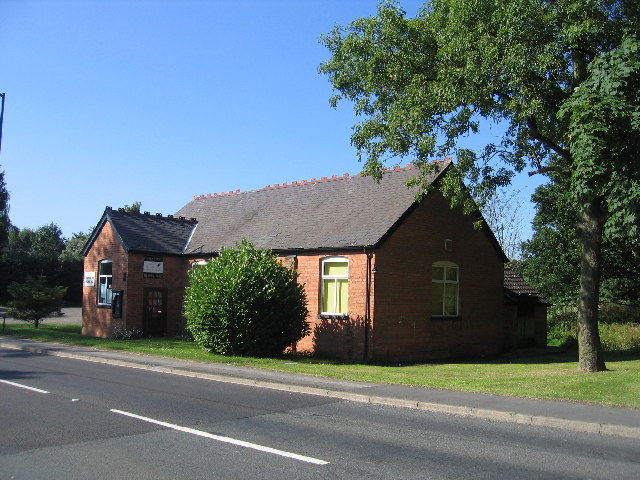
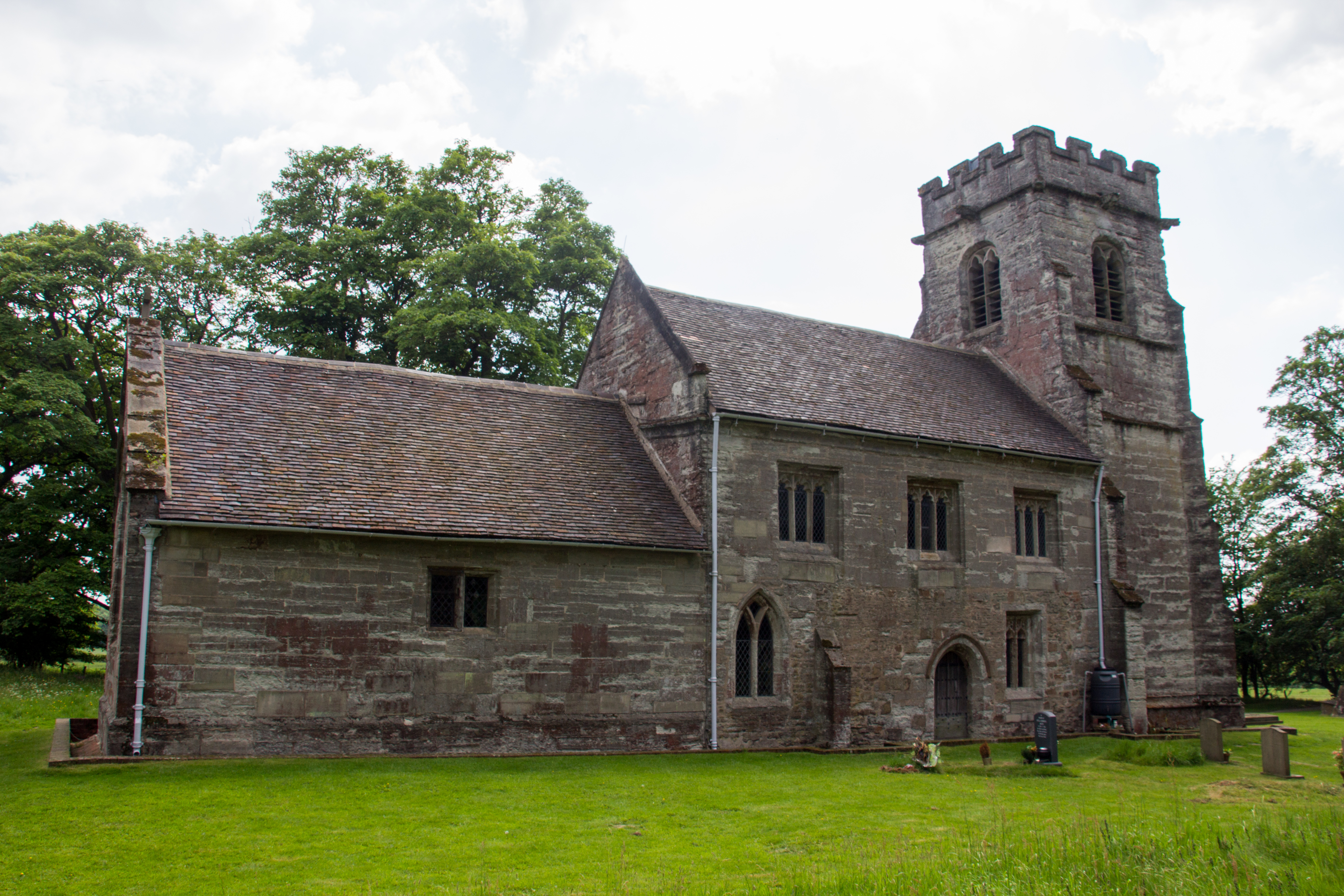
Chessetts Wood Images
Images are sourced within 2km of 52.358045/-1.728023 or Grid Reference SP1873. Thanks to Geograph Open Source API. All images are credited.
Chessetts Wood is located at Grid Ref: SP1873 (Lat: 52.358045, Lng: -1.728023)
Administrative County: Warwickshire
District: Warwick
Police Authority: Warwickshire
What 3 Words
///longingly.spider.visit. Near Dorridge, West Midlands
Nearby Locations
Related Wikis

Packwood House
Packwood House is a timber-framed Tudor manor house in Packwood on the Solihull border near Lapworth, Warwickshire. Owned by the National Trust since...

Packwood, England
Packwood is a medieval settlement and former civil parish of 1760 acres, now in the counties of the West Midlands and Warwickshire, England. In 1194 the...

Lapworth railway station
Lapworth railway station serves the village of Kingswood, Warwickshire, near the village of Lapworth from which it takes its name. It has two platforms...

Kingswood, Warwickshire
Kingswood is an area in the civil parishes of Lapworth and Rowington in Warwick District, Warwickshire, England. It forms the main residential area of...
Chadwick End
Chadwick End is a small village which straddles the border of Warwickshire and the West Midlands Metropolitan Borough of Solihull, situated 3 miles (5...
Knowle and Dorridge rail crash
The Knowle and Dorridge rail crash was a fatal rail crash that occurred at Dorridge railway station in the West Midlands, England, on 15 August 1963. Three...

Dorridge railway station
Dorridge railway station serves the large village of Dorridge in the West Midlands of England. The station is served by Chiltern Railways, who manage...
Baddesley Clinton (village)
Baddesley Clinton is a village and civil parish in Warwickshire, England, about 5+1⁄2 miles (9 km) southeast of Solihull. The village has Anglo-Saxon origins...
Nearby Amenities
Located within 500m of 52.358045,-1.728023Have you been to Chessetts Wood?
Leave your review of Chessetts Wood below (or comments, questions and feedback).