Cheslyn Hay
Settlement in Staffordshire South Staffordshire
England
Cheslyn Hay
Cheslyn Hay is a village located in the district of South Staffordshire, in the county of Staffordshire, England. Situated between the cities of Wolverhampton and Cannock, this small village has a population of approximately 8,000 residents.
The history of Cheslyn Hay can be traced back to the 19th century when it was primarily an agricultural community. However, with the discovery of coal in the area, the village experienced significant growth during the industrial revolution. Today, remnants of this history can still be seen in the form of old collieries and mining cottages.
Cheslyn Hay offers a range of amenities to its residents, including several schools, shops, and recreational facilities. The village is home to the Saredon and Calf Heath reservoirs, which provide opportunities for fishing and boating. Additionally, there are numerous parks and green spaces, such as the Great Wyrley and Cheslyn Hay Nature Reserve, where residents can enjoy outdoor activities.
Transportation in Cheslyn Hay is well-connected, with regular bus services connecting the village to nearby towns and cities. The village also has its own train station, providing convenient access to other parts of Staffordshire and beyond.
Overall, Cheslyn Hay is a picturesque village with a rich industrial heritage. Its close proximity to larger urban centers, combined with its natural beauty and community spirit, make it an attractive place to live for many residents.
If you have any feedback on the listing, please let us know in the comments section below.
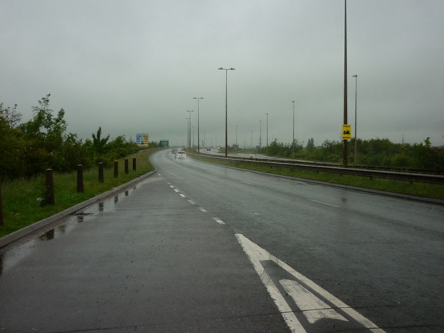
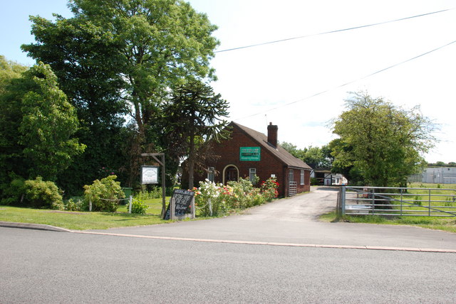
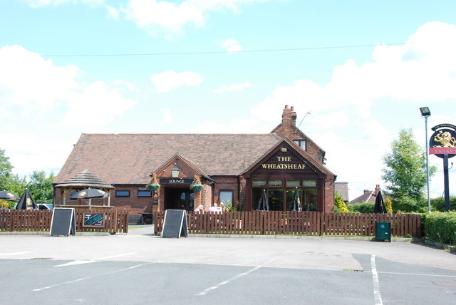
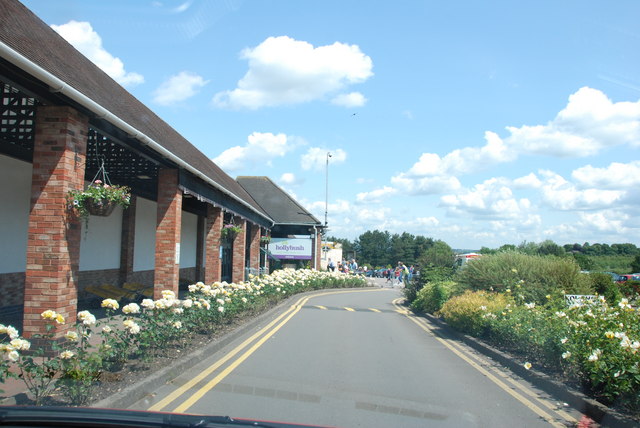
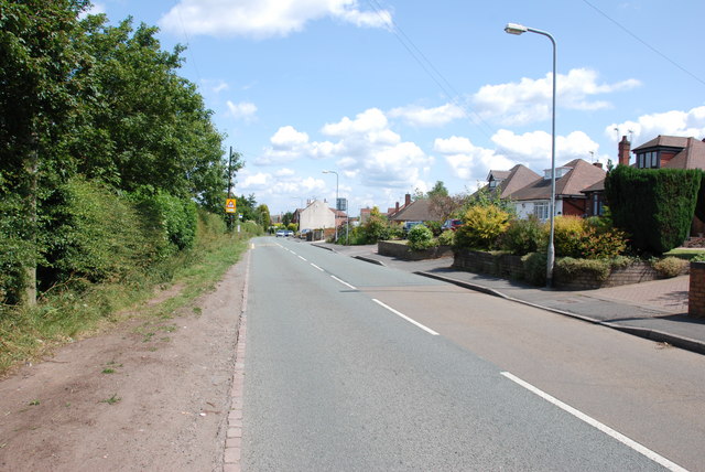
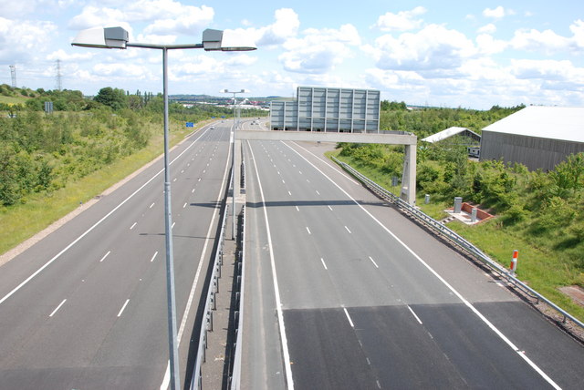
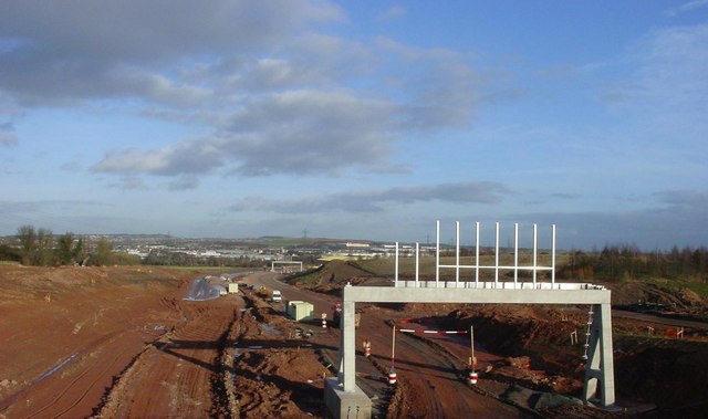
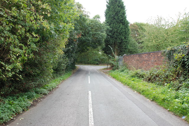
Cheslyn Hay Images
Images are sourced within 2km of 52.660249/-2.035688 or Grid Reference SJ9706. Thanks to Geograph Open Source API. All images are credited.


Cheslyn Hay is located at Grid Ref: SJ9706 (Lat: 52.660249, Lng: -2.035688)
Administrative County: Staffordshire
District: South Staffordshire
Police Authority: Staffordshire
What 3 Words
///woven.toned.method. Near Great Wyrley, Staffordshire
Nearby Locations
Related Wikis

Cheslyn Hay
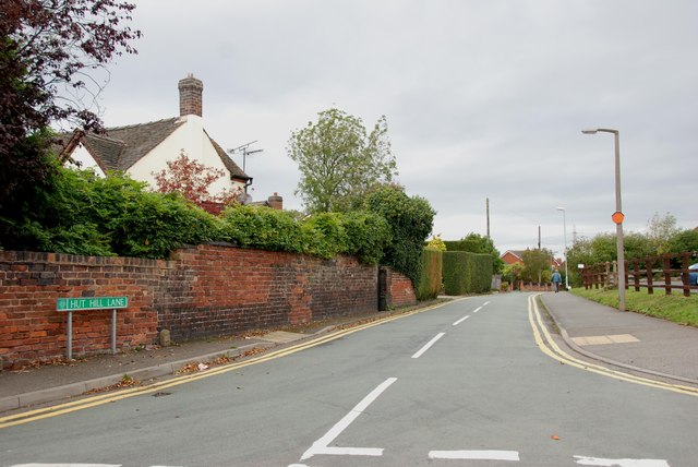
Cheslyn Hay is a former mining village and civil parish in the South Staffordshire district of Staffordshire, England. It is 3 miles south of Cannock,...

Cheslyn Hay Academy
Cheslyn Hay Academy (formerly Cheslyn Hay Sport and Community High School) is a mixed secondary school and sixth form located in Cheslyn Hay in the English...
Wyrley and Cheslyn Hay railway station
Wyrley and Cheslyn Hay railway station served the villages of Great Wyrley and Cheslyn Hay in Staffordshire, England, between 1858 and 1965. == History... ==
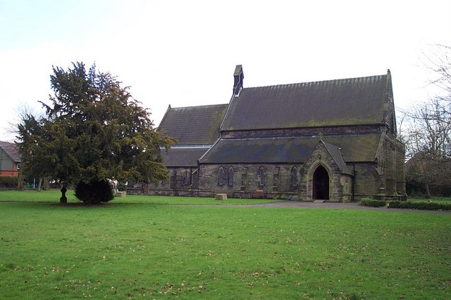
St Mark's Church, Great Wyrley
St Mark's is the parish church of Great Wyrley, South Staffordshire, England. It is known for having had the first South Asian vicar of any Church of England...
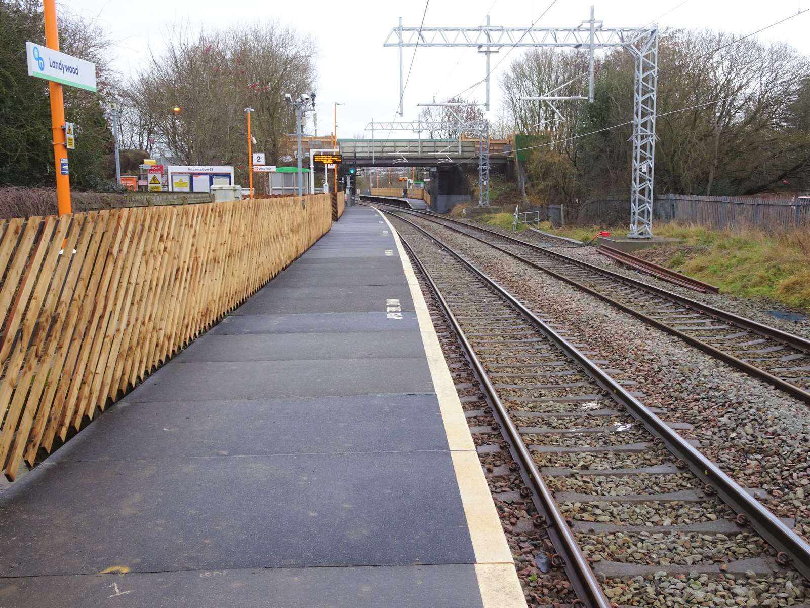
Landywood railway station
Landywood railway station is situated in the village of Landywood in Staffordshire, England. As well as Landywood, the station also serves the adjacent...
Great Wyrley Academy
Great Wyrley Academy (formerly Great Wyrley High School) is a co-educational secondary school and sixth form located in Great Wyrley in the English county...

Landywood
Landywood is a village in the South Staffordshire district of Staffordshire, England. Landywood is part of the South Staffordshire ward named "Great Wyrley...

Great Wyrley
Great Wyrley is a village and civil parish in the South Staffordshire district of Staffordshire, England. It forms a built up area with nearby Cheslyn...
Nearby Amenities
Located within 500m of 52.660249,-2.035688Have you been to Cheslyn Hay?
Leave your review of Cheslyn Hay below (or comments, questions and feedback).