Campian's Wood
Wood, Forest in Staffordshire South Staffordshire
England
Campian's Wood
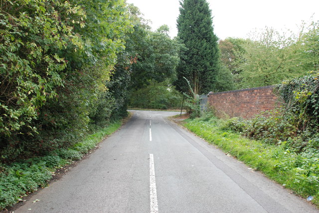
Campian's Wood is a picturesque woodland located in Staffordshire, England. Spanning over an area of approximately 100 acres, this enchanting forest is a popular destination for nature lovers and outdoor enthusiasts.
The woodland is characterized by a diverse range of tree species, including oak, birch, beech, and ash, which create a vibrant and lush canopy overhead. The forest floor is covered with a thick layer of moss and ferns, adding to its magical ambiance.
Visitors to Campian's Wood can enjoy a variety of activities, such as walking, hiking, and birdwatching. The woodland is home to a plethora of wildlife, including deer, foxes, rabbits, and a wide array of bird species. Birdwatchers can spot birds like woodpeckers, owls, and thrushes among the trees.
There are several well-maintained trails that wind through the woodland, providing visitors with the opportunity to explore its natural beauty. These pathways offer stunning views of the surrounding countryside and lead to hidden gems within the forest, such as a tranquil pond and a small waterfall.
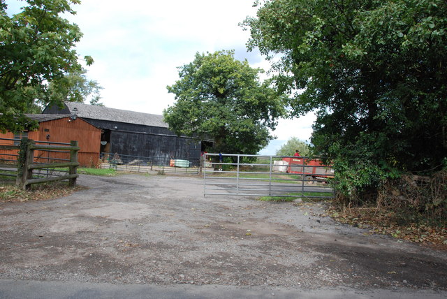
Campian's Wood also has designated picnic areas, where visitors can relax and enjoy a packed lunch amidst the peaceful surroundings. The woodland is easily accessible by car and has ample parking facilities available.
Overall, Campian's Wood in Staffordshire is a captivating destination for those seeking a tranquil escape into nature. With its diverse flora and fauna, well-marked trails, and stunning scenery, it is a must-visit for anyone looking to reconnect with the natural world.
If you have any feedback on the listing, please let us know in the comments section below.
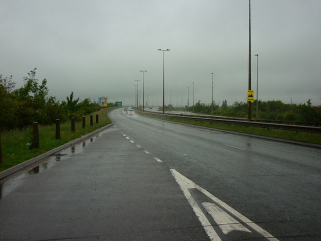
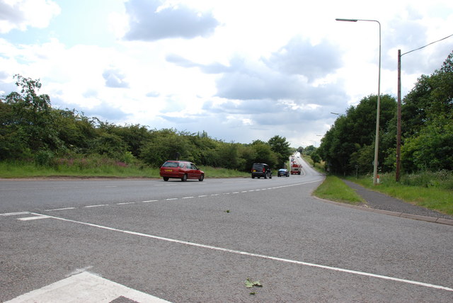
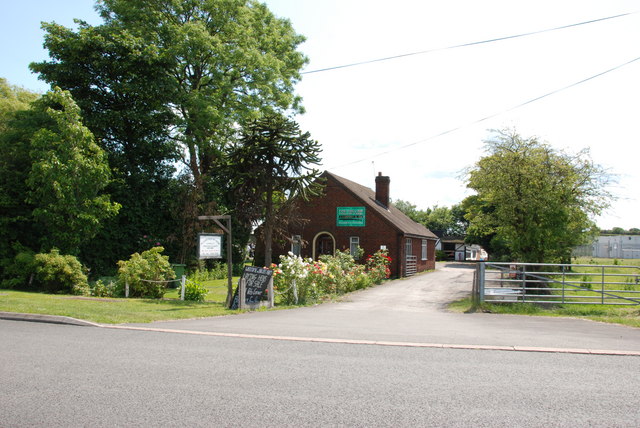
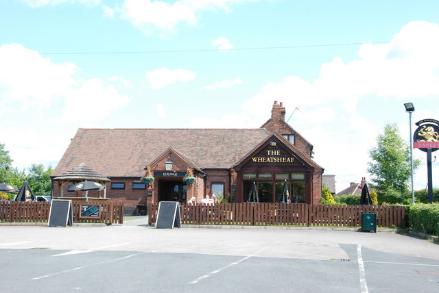
Campian's Wood Images
Images are sourced within 2km of 52.654358/-2.0405501 or Grid Reference SJ9706. Thanks to Geograph Open Source API. All images are credited.

Campian's Wood is located at Grid Ref: SJ9706 (Lat: 52.654358, Lng: -2.0405501)
Administrative County: Staffordshire
District: South Staffordshire
Police Authority: Staffordshire
What 3 Words
///rarely.silks.pretty. Near Great Wyrley, Staffordshire
Nearby Locations
Related Wikis

Cheslyn Hay
Cheslyn Hay is a former mining village and civil parish in the South Staffordshire district of Staffordshire, England. It is 3 miles south of Cannock,...

Cheslyn Hay Academy
Cheslyn Hay Academy (formerly Cheslyn Hay Sport and Community High School) is a mixed secondary school and sixth form located in Cheslyn Hay in the English...
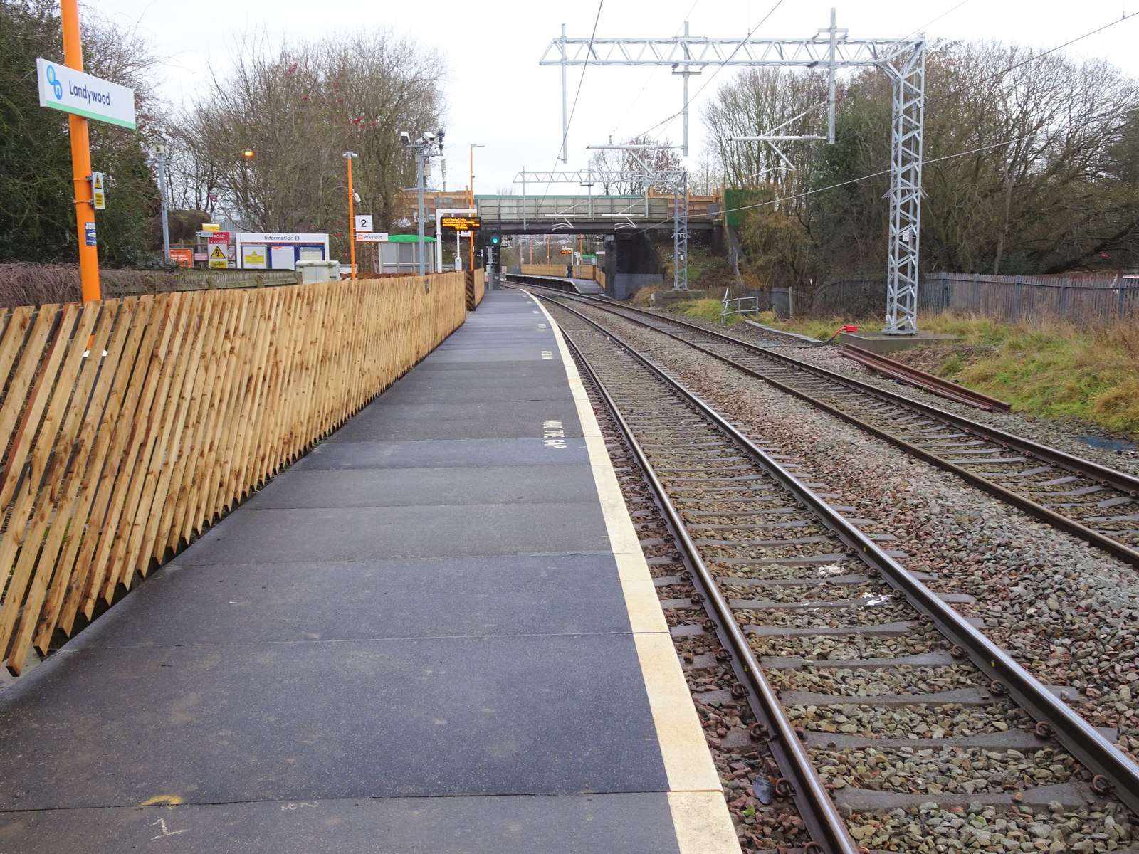
Landywood railway station
Landywood railway station is situated in the village of Landywood in Staffordshire, England. As well as Landywood, the station also serves the adjacent...

Landywood
Landywood is a village in the South Staffordshire district of Staffordshire, England. Landywood is part of the South Staffordshire ward named "Great Wyrley...
Wyrley and Cheslyn Hay railway station
Wyrley and Cheslyn Hay railway station served the villages of Great Wyrley and Cheslyn Hay in Staffordshire, England, between 1858 and 1965. == History... ==
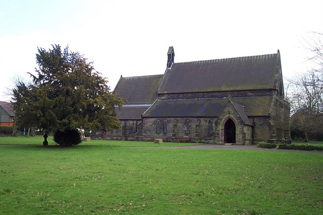
St Mark's Church, Great Wyrley
St Mark's is the parish church of Great Wyrley, South Staffordshire, England. It is known for having had the first South Asian vicar of any Church of England...
Wednesbury Town F.C.
Wednesbury Town F.C. was the name used for three football clubs based in Wednesbury, West Midlands, England. == Original club == The Wednesbury Football...

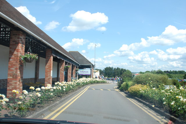
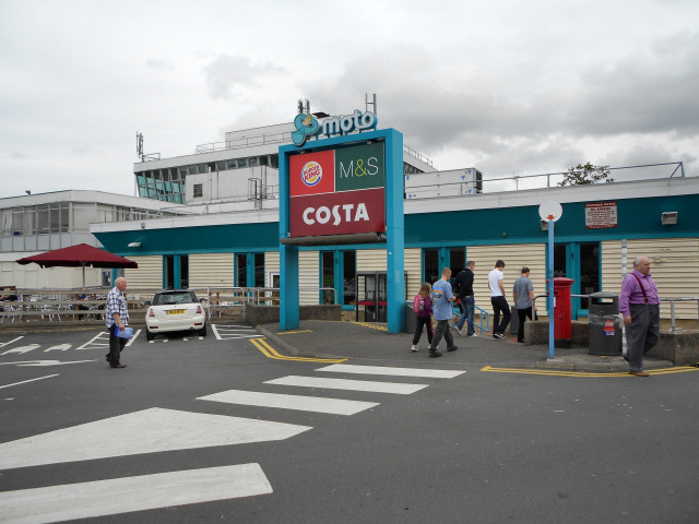
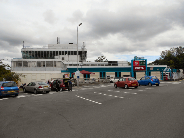
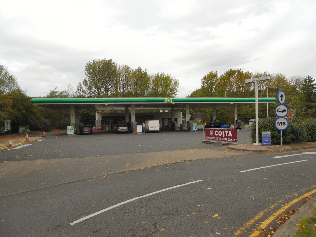
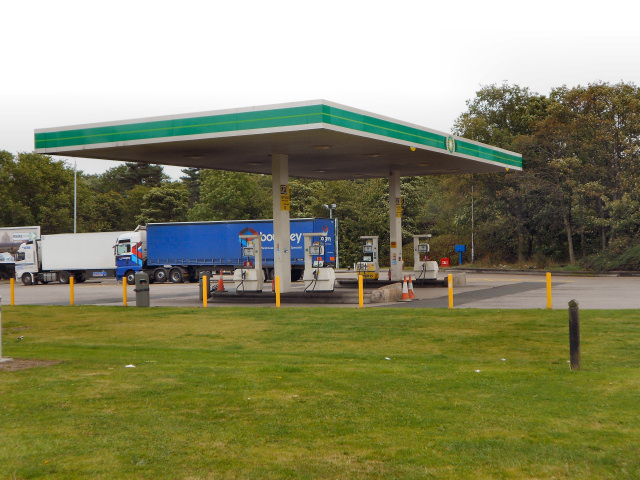
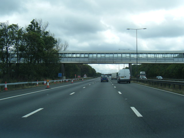
Hilton Park services
Hilton Park services is a motorway service station, between junctions 10a and 11 of the M6 motorway in Staffordshire, England. The nearest city is Wolverhampton...
Nearby Amenities
Located within 500m of 52.654358,-2.0405501Have you been to Campian's Wood?
Leave your review of Campian's Wood below (or comments, questions and feedback).