Chessington
Settlement in Surrey
England
Chessington
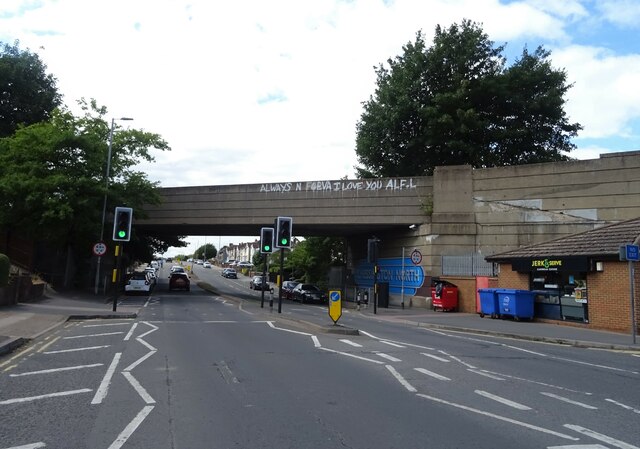
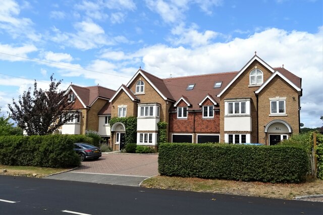
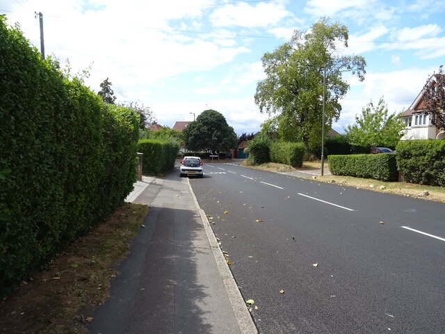
Chessington is a suburban town located in the Royal Borough of Kingston upon Thames in Surrey, England. Situated approximately 12 miles southwest of central London, it is part of Greater London's commuter belt. The town is bordered by the neighborhoods of Tolworth, Ewell, and Surbiton, and is well-connected to surrounding areas by road and rail links.
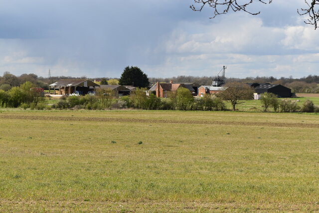
Despite its proximity to the capital, Chessington maintains a distinct suburban character, with a mix of residential areas, commercial spaces, and green spaces. The town is perhaps best known for being home to Chessington World of Adventures Resort, a popular theme park that attracts visitors from both near and far. The resort features a variety of thrilling rides, animal exhibits, and live shows, making it a prominent tourist destination in the area.
In addition to the theme park, Chessington offers a range of amenities and facilities to its residents. The town center is home to a variety of shops, supermarkets, restaurants, and cafes, providing a convenient and vibrant local hub. There are also several schools in the area, catering to families with children.
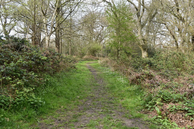
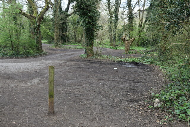
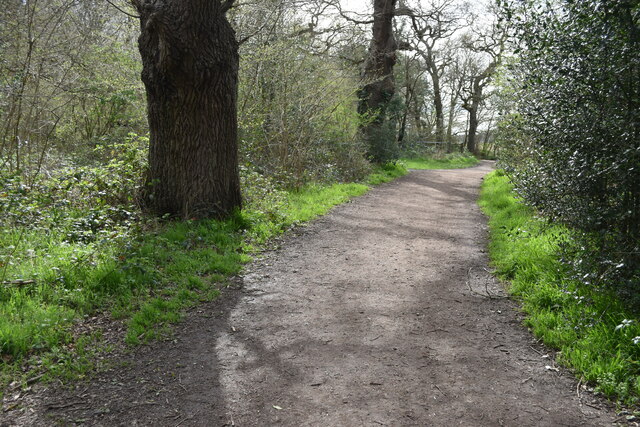
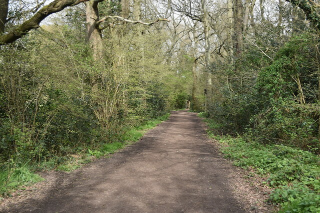
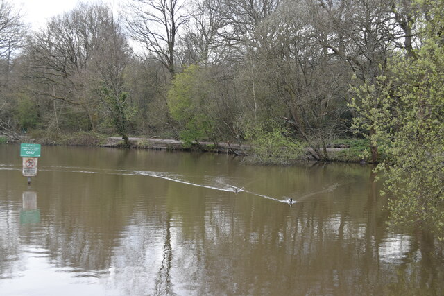
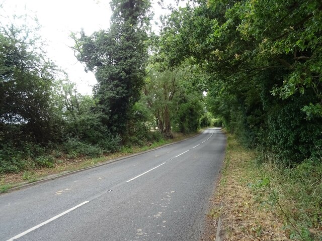
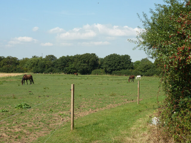
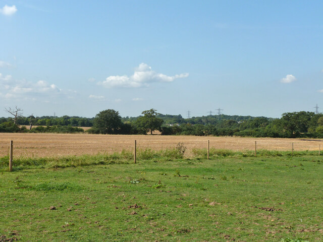
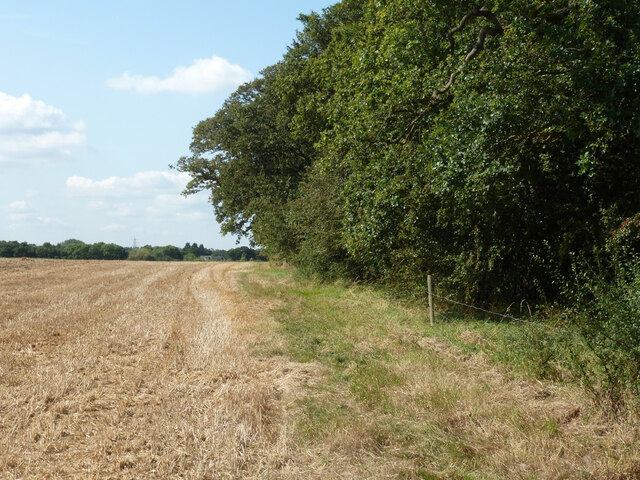
Nature enthusiasts can enjoy the nearby Chessington Countryside Walk, which offers picturesque views of the countryside and the Hogsmill River. Chessington South railway station provides easy access to London and other nearby towns, making it an attractive location for commuters working in the city.
Overall, Chessington offers a combination of suburban living, entertainment options, and easy access to the capital, making it a desirable place to live for families and individuals alike.
If you have any feedback on the listing, please let us know in the comments section below.
Chessington Images
Images are sourced within 2km of 51.348977/-0.317035 or Grid Reference TQ1762. Thanks to Geograph Open Source API. All images are credited.


Chessington is located at Grid Ref: TQ1762 (Lat: 51.348977, Lng: -0.317035)
Unitary Authority: Kingston upon Thames
Police Authority: Metropolitan
What 3 Words
///unity.canny.punks. Near Chessington, London
Nearby Locations
Related Wikis

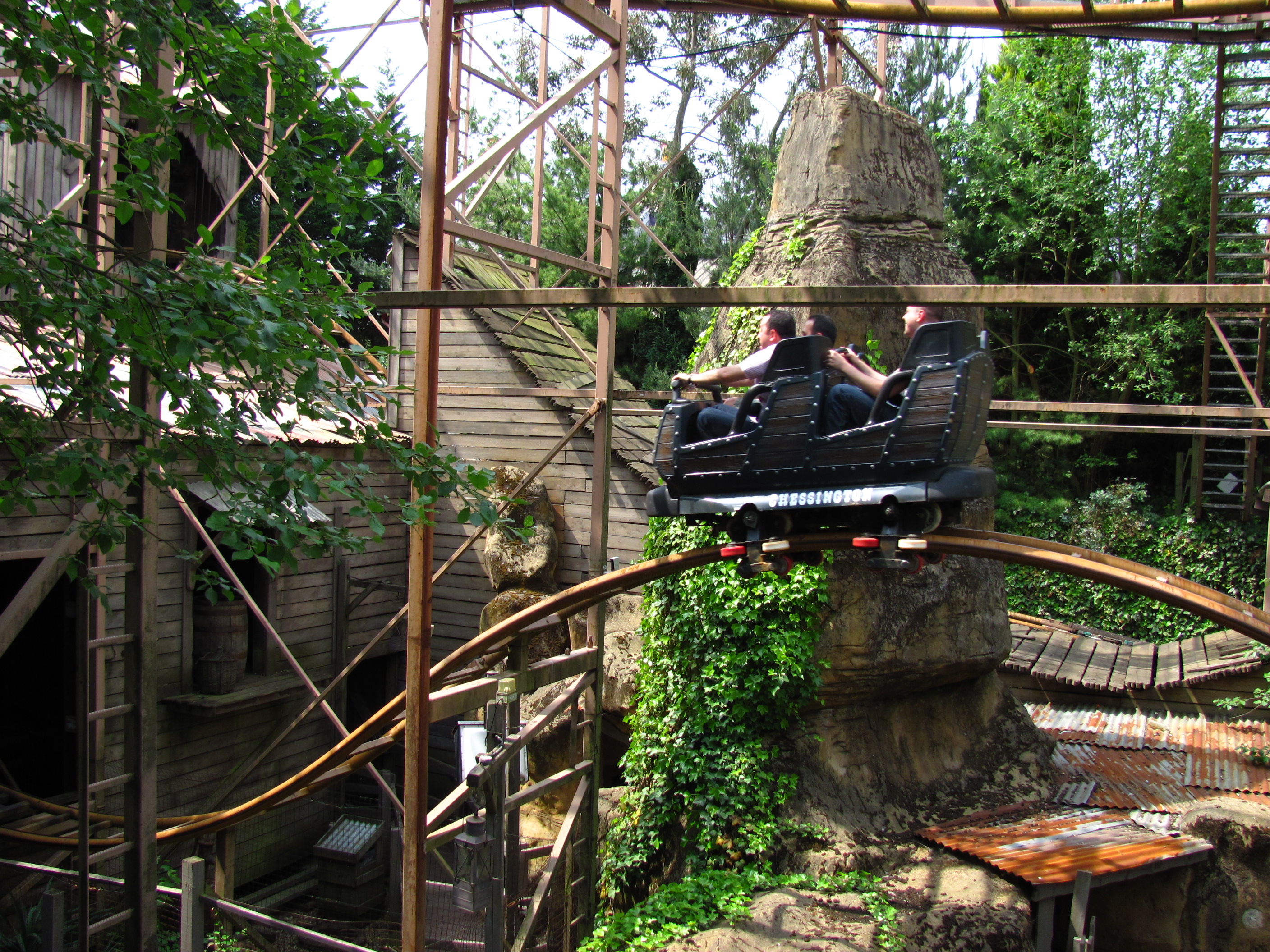
Safari Skyway
Safari Skyway was a monorail ride that opened in 1986 at Chessington World of Adventures Resort, in the Market Square area (Now called Adventure Point...

Chessington World of Adventures
Chessington World of Adventures Resort is a 128 acres (52 hectares) theme park, zoo and hotel complex in Chessington, Greater London, England, around 12...

Hocus Pocus Hall
Hocus Pocus Hall was a gothic-themed house of mirrors at Chessington World of Adventures Resort in southwest London, England. Originally the site of several...
Rattlesnake (roller coaster)
Rattlesnake is a steel wild mouse style roller coaster ride which opened in 1998 at the Chessington World of Adventures Resort in southwest London, England...
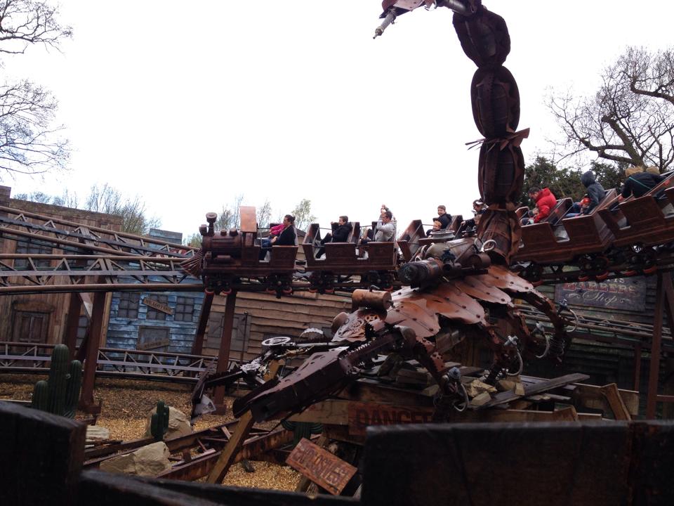
Scorpion Express
Scorpion Express (originally Runaway Train) was a mine train themed powered roller coaster at Chessington World of Adventures in Greater London, England...

Tiny Truckers
Tiny Truckers is a children's rail ride operated at Chessington World of Adventures Resort in London. Originally opened in 1993 under the name ToyTown...
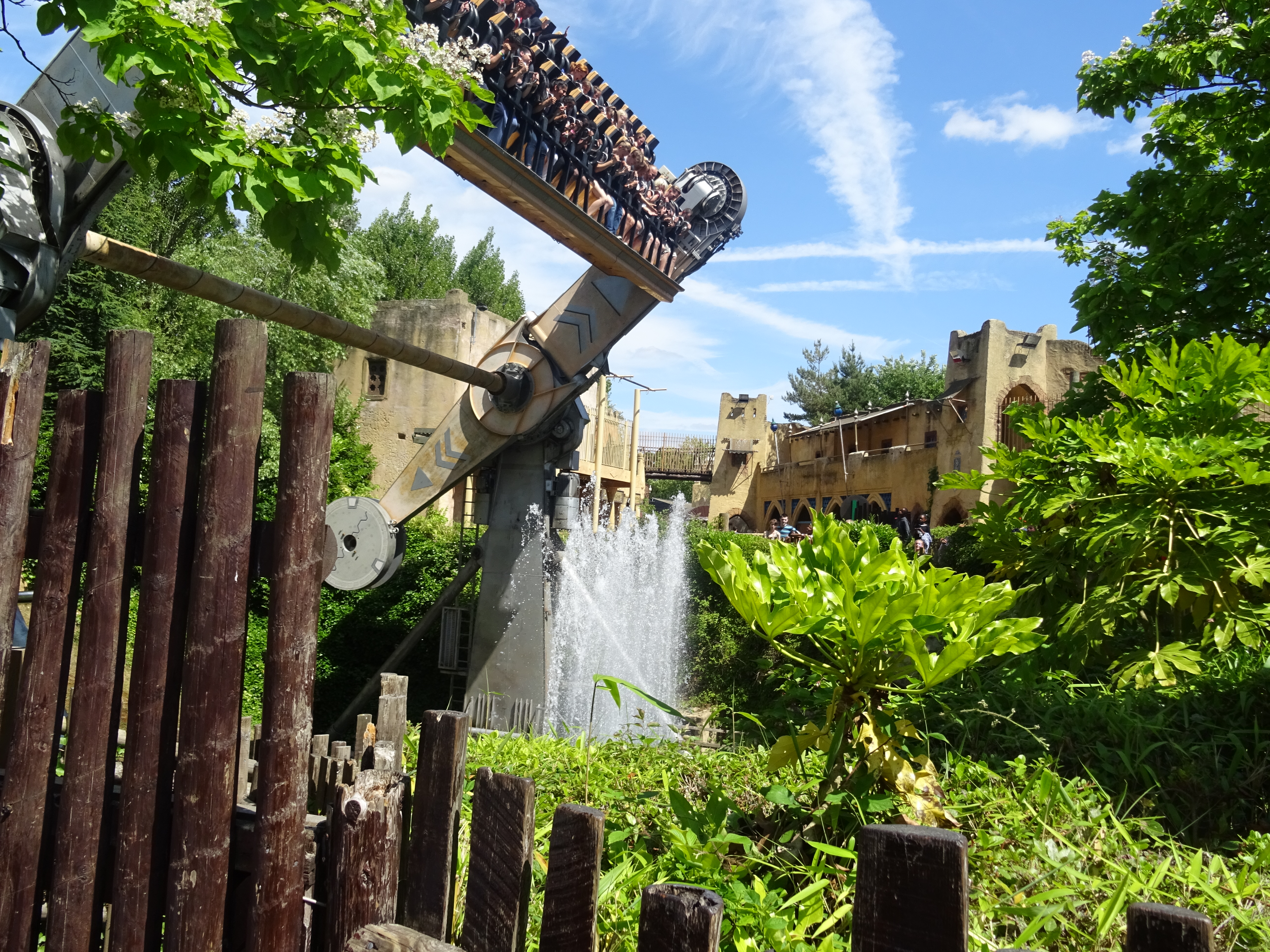
Rameses Revenge
Rameses Revenge was a Top Spin ride at Chessington World of Adventures Resort theme park in southwest London, England, introduced in 1995. It was the world...
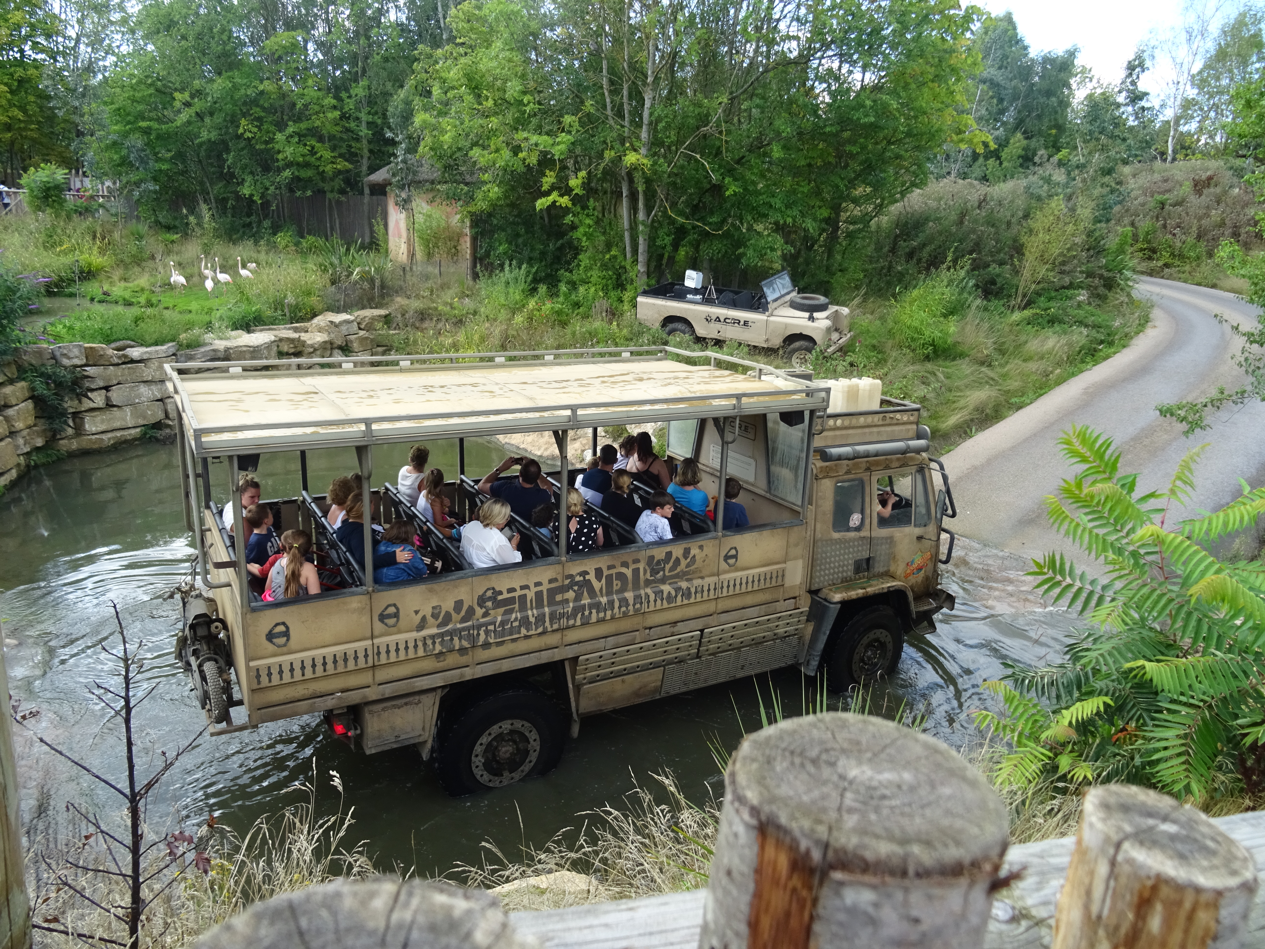
Zufari: Ride into Africa!
Zufari: Ride into Africa (officially stylized as ZUFARI: Ride into Africa!) is an off-road safari trail jeep ride at Chessington World of Adventures, a...
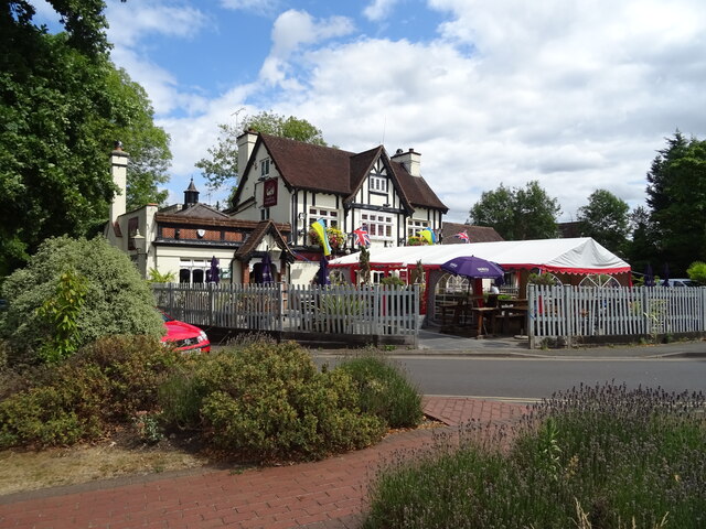
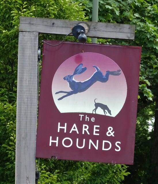
Nearby Amenities
Located within 500m of 51.348977,-0.317035Have you been to Chessington?
Leave your review of Chessington below (or comments, questions and feedback).