Broomhill Grove
Wood, Forest in Cornwall
England
Broomhill Grove
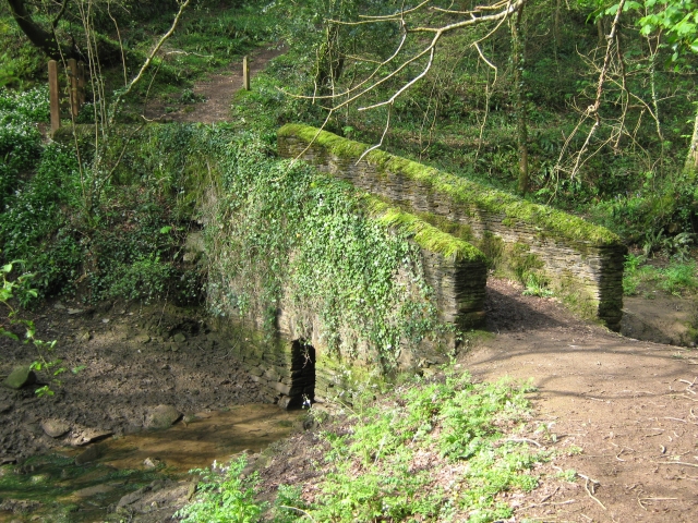
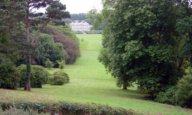
Broomhill Grove, located in Cornwall, is a picturesque woodland area known for its stunning beauty and tranquil atmosphere. Situated in the heart of nature, this sprawling forest covers an expansive area, making it a popular destination for nature enthusiasts and those seeking a peaceful retreat.
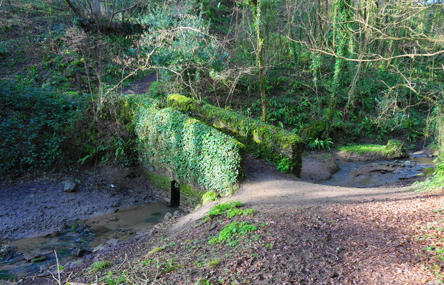
The grove is characterized by its dense canopy of tall trees, primarily consisting of oak, beech, and pine, which create a cool and shaded environment even on the hottest summer days. The forest floor is covered with a thick carpet of ferns, moss, and wildflowers, adding to its natural charm.
The woodlands of Broomhill Grove are home to a diverse range of wildlife, making it a haven for nature lovers and birdwatchers. Visitors may be lucky enough to spot rare species such as red squirrels, woodpeckers, and various songbirds. The forest also harbors a variety of mammals, including badgers, foxes, and deer.
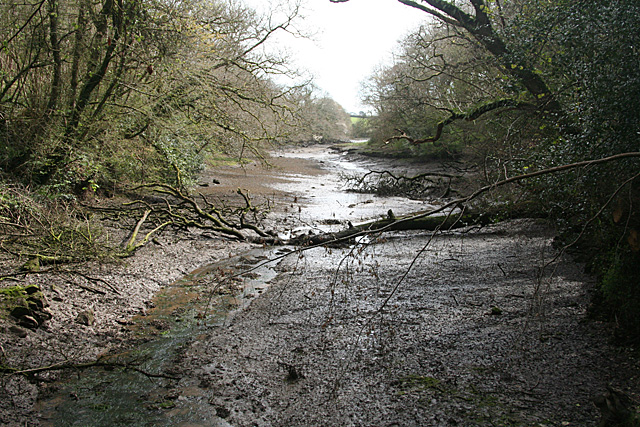
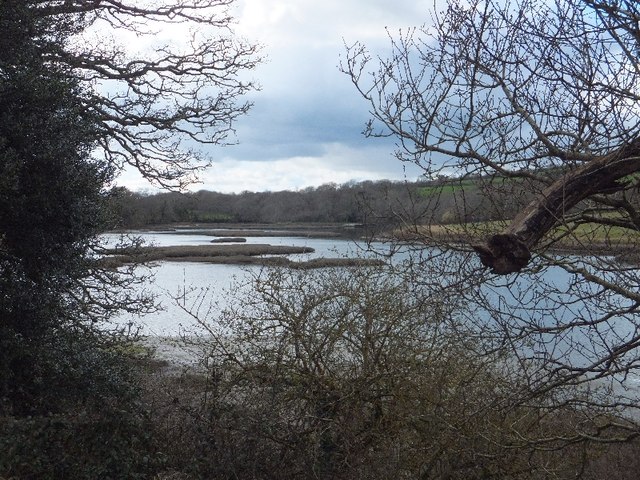
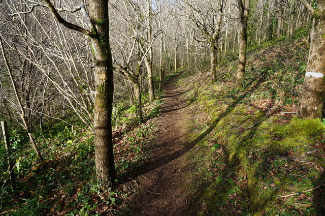
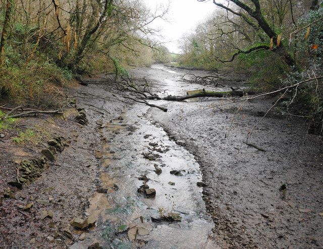
There are several walking trails and pathways that wind through the grove, allowing visitors to explore the forest's beauty at their own pace. These well-maintained paths offer breathtaking views of the surrounding landscape, with occasional glimpses of the nearby countryside and rolling hills.
Broomhill Grove also features a picnic area, where visitors can relax and enjoy a meal amidst the serene surroundings. Additionally, the forest provides opportunities for outdoor activities such as camping, nature photography, and even orienteering.
Overall, Broomhill Grove in Cornwall is a captivating woodland retreat that offers a perfect escape from the hustle and bustle of everyday life. Its natural beauty, diverse wildlife, and peaceful ambiance make it an ideal destination for those seeking a tranquil connection with nature.
If you have any feedback on the listing, please let us know in the comments section below.
Broomhill Grove Images
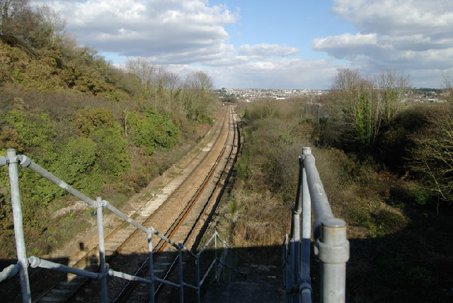
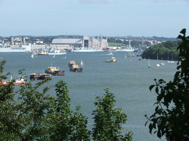
Images are sourced within 2km of 50.388551/-4.2277796 or Grid Reference SX4156. Thanks to Geograph Open Source API. All images are credited.


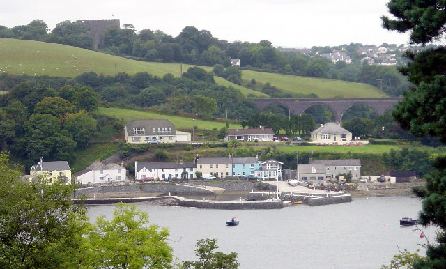
Broomhill Grove is located at Grid Ref: SX4156 (Lat: 50.388551, Lng: -4.2277796)
Unitary Authority: Cornwall
Police Authority: Devon and Cornwall
What 3 Words
///underway.viewing.expiring. Near Saltash, Cornwall
Related Wikis

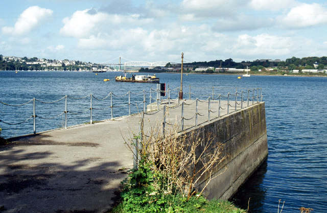
Antony Passage
Antony Passage is a hamlet in south-east Cornwall, England, UK. It stands beside the tidal section of the River Lynher (a tributary of the River Tamar...

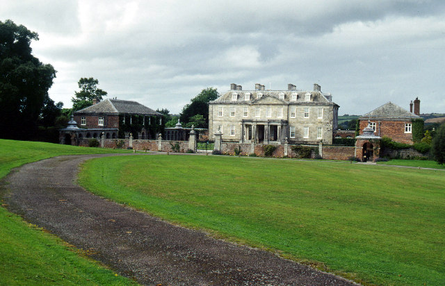
Maryfield, Cornwall
Maryfield is a hamlet north of Torpoint and east of Antony House in southeast Cornwall, England. == References ==

Churchtown Farm
Churchtown Farm is a community nature reserve one mile south of Saltash, Cornwall, England. It is leased from Antony Estate and managed by Cornwall Wildlife...

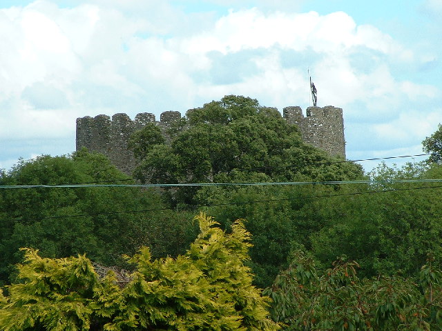
Trematon Castle
Trematon Castle (Cornish: Kastel Tremen) is situated near Saltash in Cornwall, England, United Kingdom. It was the caput of the feudal barony of Trematon...
Related Videos

Walking tour, Thanckes Lake, Torpoint, Cornwall, UK
Thanckes Lake is a water feature in Torpoint, Cornwall.
Into the place where Alice on wonderland was been directed # #nationaltrust #aliceinwonderland
Just a half hour away from plymouth , a bit journey by ferry National Trust - Antony Location - Ferry Ln, Torpoint PL11 2QA.

A Walk Around the Grounds of Antony House - Torpoint
At the time of this video being filmed the UK was on lockdown to try and stop the spread of the Covid-19 Corona Virus.

Carbeile Inn, Torpoint, Cornwall - Rame Directory
Staying at the Carbeile Inn gives you the opportunity to enjoy the rest of Cornwall or take in all that Devon has to offer by crossing ...
Nearby Amenities
Located within 500m of 50.388551,-4.2277796Have you been to Broomhill Grove?
Leave your review of Broomhill Grove below (or comments, questions and feedback).