Hornifast Wood

Wood, Forest in Cornwall

England

Hornifast Wood

Former Bible Christian Chapel
Former Bible Christian Chapel Credit: Paul Barnett

Hornifast Wood is a serene and picturesque forest located in the beautiful county of Cornwall, England. Covering an area of approximately 100 acres, this enchanting wood is situated on the outskirts of the village of Hornifast, nestled between rolling hills and lush meadows.

The wood is predominantly composed of a mix of deciduous and evergreen trees, including oak, beech, ash, and pine. These towering giants create a dense canopy that provides a sanctuary for a diverse range of wildlife. Birdsong fills the air as various species, such as woodpeckers, owls, and thrushes, make their homes within the wood.

Extensive footpaths and trails wind their way through the woodland, offering visitors the opportunity to explore its natural wonders. The paths are well-maintained, making it easily accessible for both walkers and cyclists. Along the way, one can discover hidden groves, babbling brooks, and secret clearings that invite moments of tranquility and reflection.

Hornifast Wood is also known for its rich biodiversity, with numerous plant species carpeting the forest floor. In spring, vibrant bluebells create a stunning display, while in autumn, the leaves of the trees turn a glorious array of red, orange, and gold.

The wood is popular with nature enthusiasts, families, and those seeking a peaceful retreat from the bustling city life. Picnic areas and benches are scattered throughout the wood, inviting visitors to relax and immerse themselves in the natural beauty that surrounds them.

Hornifast Wood truly epitomizes the idyllic charm of Cornwall, offering a haven of tranquility and natural splendor for all who venture within its boundaries.

If you have any feedback on the listing, please let us know in the comments section below.

Hornifast Wood Images

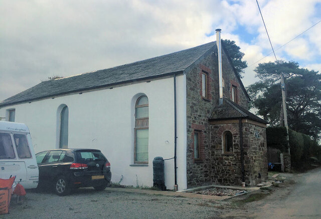
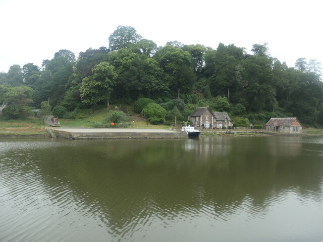
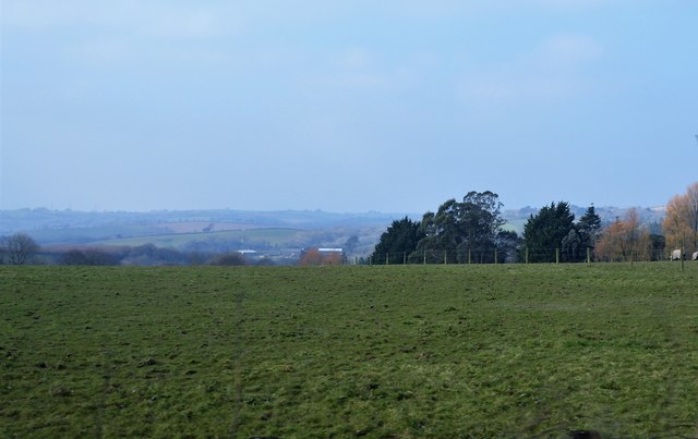
Images are sourced within 2km of 50.464789/-4.2478061 or Grid Reference SX4065. Thanks to Geograph Open Source API. All images are credited.
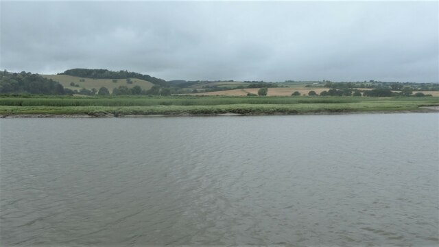
Former Bible Christian Chapel
St Mallanus's Church
Drive to St Mellion Estate
Gates to Briston Orchard The entrance to Briston Farmhouse is on the left.
Gates to Briston Orchard
The entrance to Briston Farmhouse is on the left.
Road to Polborder off the A388
South Hooe, on the Devon Bank of the Tamar Difficult to believe that this was an industrial location in the 1800s, with a silver mine and a limekiln.
South Hooe, on the Devon Bank of the Tamar
Difficult to believe that this was an industrial location in the 1800s, with a silver mine and a limekiln.
Marshy edge of the Hooe peninsula On the Devon bank of the River Tamar.
Marshy edge of the Hooe peninsula
On the Devon bank of the River Tamar.
Salt marsh on the Hooe peninsula On the Devon bank of the River Tamar.
Salt marsh on the Hooe peninsula
On the Devon bank of the River Tamar.
Boat moored on the Tamar, downstream of North Hooe The rising tide makes the boat point downstream.
Boat moored on the Tamar, downstream of North Hooe
The rising tide makes the boat point downstream.
Chapel Farm, north of Halton Quay On the Cornish side of the River Tamar.
Chapel Farm, north of Halton Quay
On the Cornish side of the River Tamar.
Hilton Quay, River Tamar There are many small quays along the tidal river, dating from the time when the river was the main [perhaps only] freight route in this area.
Hilton Quay, River Tamar
There are many small quays along the tidal river, dating from the time when the river was the main [perhaps only] freight route in this area.
Boat moored at Pentillie Quay On the Cornish side of the River Tamar.
Boat moored at Pentillie Quay
On the Cornish side of the River Tamar.
The Church of St Melanus at St Mellion Viewed from the north-east.
The Church of St Melanus at St Mellion
Viewed from the north-east.
Ordnance Survey Cut Mark This can be found on the wall of St Melanus Church at St Mellion.
For more detail see : <span class="nowrap"><a title="http://www.bench-marks.org.uk/bm71192" rel="nofollow ugc noopener" href="http://www.bench-marks.org.uk/bm71192">Link</a><img style="margin-left:2px;" alt="External link" title="External link - shift click to open in new window" src="https://s1.geograph.org.uk/img/external.png" width="10" height="10"/></span>
Ordnance Survey Cut Mark
This can be found on the wall of St Melanus Church at St Mellion. For more detail see : LinkExternal link
Old Milestone by the A388, St Mellion Carved stone post by the A388, in parish of ST MELLION (CARADON District), East of The Glebe, on the verge on bend clear of hedge, on East side of road. Callington C gravestone, erected by the Callington turnpike trust in the 18th century. 

Inscription reads:-
3½
C
Carved benchmark on front face.

Grade II Listed. List Entry Number: 1329047
<span class="nowrap"><a title="https://historicengland.org.uk/listing/the-list/list-entry/1329047" rel="nofollow ugc noopener" href="https://historicengland.org.uk/listing/the-list/list-entry/1329047">Link</a><img style="margin-left:2px;" alt="External link" title="External link - shift click to open in new window" src="https://s1.geograph.org.uk/img/external.png" width="10" height="10"/></span>

Milestone Society National ID: CW_CLSH03.
Old Milestone by the A388, St Mellion
Carved stone post by the A388, in parish of ST MELLION (CARADON District), East of The Glebe, on the verge on bend clear of hedge, on East side of road. Callington C gravestone, erected by the Callington turnpike trust in the 18th century. Inscription reads:- 3½ C Carved benchmark on front face. Grade II Listed. List Entry Number: 1329047 LinkExternal link Milestone Society National ID: CW_CLSH03.
Old Milestone by the former A388, Paynter's Cross Carved stone post by the UC road (was A388), in parish of PILLATON (CARADON District), Paynters Cross, not on line of old road, on South side of road. Callington C gravestone, erected by the Callington turnpike trust in the 18th century. 

Inscription reads:-
4½
C 

Grade II Listed. List Entry Number: 1392533
<span class="nowrap"><a title="https://historicengland.org.uk/listing/the-list/list-entry/1392533" rel="nofollow ugc noopener" href="https://historicengland.org.uk/listing/the-list/list-entry/1392533">Link</a><img style="margin-left:2px;" alt="External link" title="External link - shift click to open in new window" src="https://s1.geograph.org.uk/img/external.png" width="10" height="10"/></span>

Milestone Society National ID: CW_CLSH04.
Old Milestone by the former A388, Paynter's Cross
Carved stone post by the UC road (was A388), in parish of PILLATON (CARADON District), Paynters Cross, not on line of old road, on South side of road. Callington C gravestone, erected by the Callington turnpike trust in the 18th century. Inscription reads:- 4½ C Grade II Listed. List Entry Number: 1392533 LinkExternal link Milestone Society National ID: CW_CLSH04.
Lane to Sillaton
Lane to Sillaton
Field by A388
Field by A388
Show me another place!

Hornifast Wood is located at Grid Ref: SX4065 (Lat: 50.464789, Lng: -4.2478061)

Unitary Authority: Cornwall

Police Authority: Devon and Cornwall

What 3 Words

///amps.picked.sensual. Near Pillaton, Cornwall

Related Wikis

Halton Barton

Halton Barton is a farm in the parish of St Dominic in Cornwall, England. == See also == List of farms in Cornwall == References ==

Pentillie

Pentillie Castle is a grade II* listed country house and estate on the bank of the River Tamar in Paynters Cross, near to St Mellion, in Cornwall, England...

Paynter's Cross

Paynter's Cross is a hamlet on the A388 main road southeast of St Mellion in southeast Cornwall, England, UK. == References ==

Polborder

Polborder is a hamlet south of St Mellion in Cornwall, England. == References ==

Have you been to Hornifast Wood?

Leave your review of Hornifast Wood below (or comments, questions and feedback).