Ireland Wood

Wood, Forest in Devon Torridge

England

Ireland Wood

Farmland, Gratton Looking across a tributary valley of the Waldon to houses along the lane at Gratton. Taken from the lane north of Withypool Bridge.
Farmland, Gratton Credit: Derek Harper

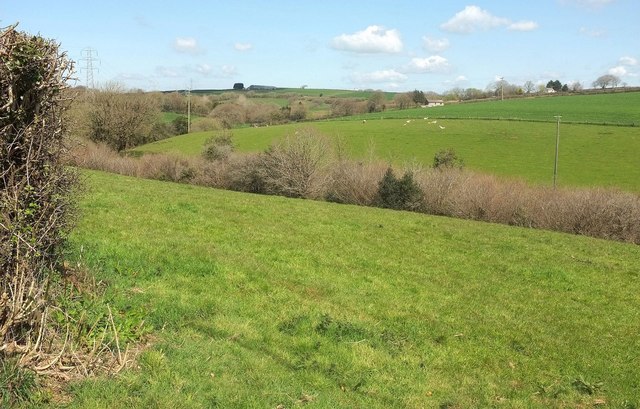
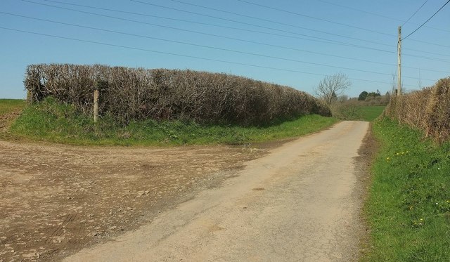
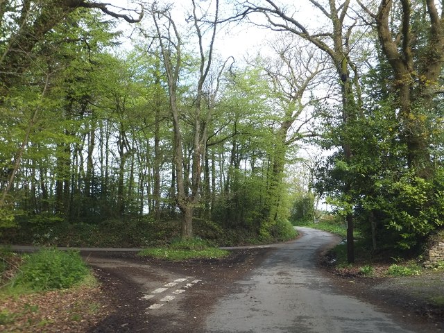
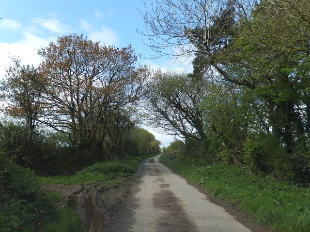
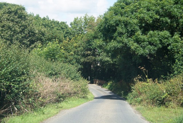
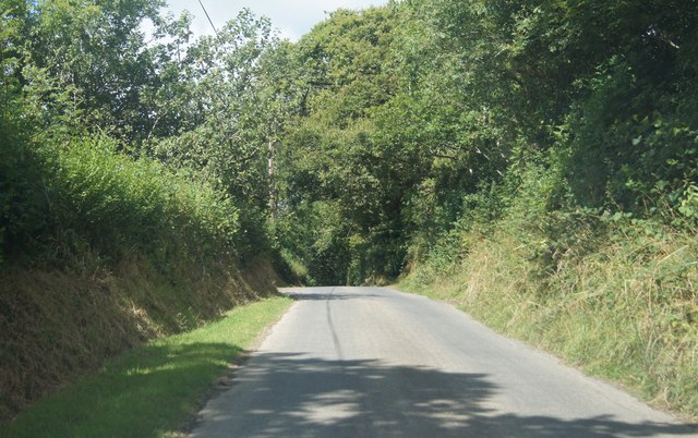
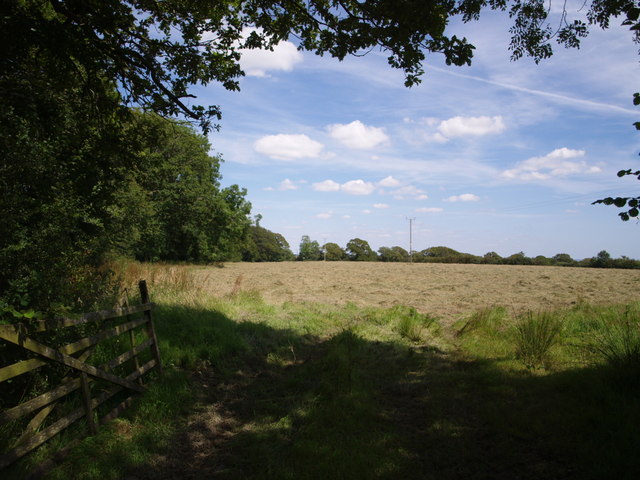
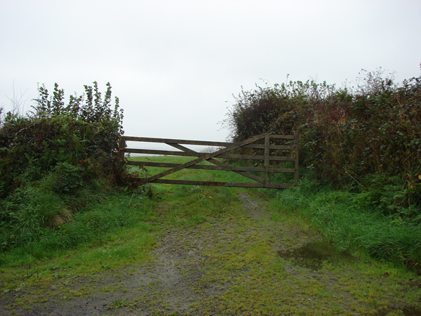
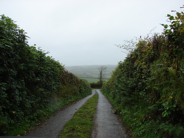
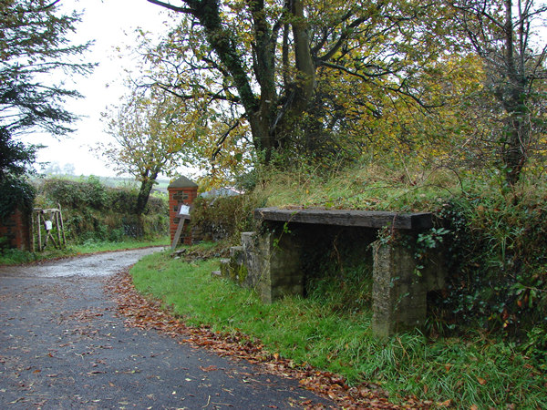
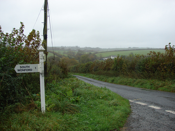
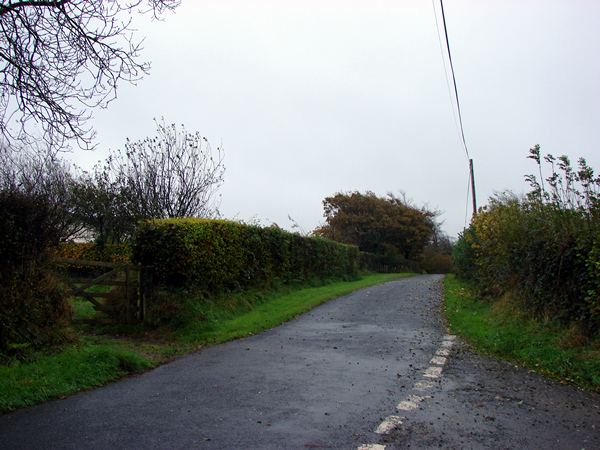
Ireland Wood is a small, picturesque woodland located in Devon, England. This woodland is known for its dense canopy of trees, which provide a tranquil and serene atmosphere for visitors to explore. The wood is home to a variety of native wildlife, including birds, insects, and small mammals.

The forest floor is covered in a thick layer of moss and fallen leaves, creating a soft carpet underfoot. Walking trails wind through the woods, allowing visitors to meander through the trees and enjoy the sights and sounds of nature.

Ireland Wood is a popular destination for hikers, nature lovers, and photographers looking to capture the beauty of the natural world. The wood is particularly stunning in the autumn months, when the leaves change color and create a vibrant display of reds, oranges, and yellows.

Overall, Ireland Wood is a tranquil and peaceful retreat for those looking to escape the hustle and bustle of everyday life and immerse themselves in the beauty of the natural world.

If you have any feedback on the listing, please let us know in the comments section below.
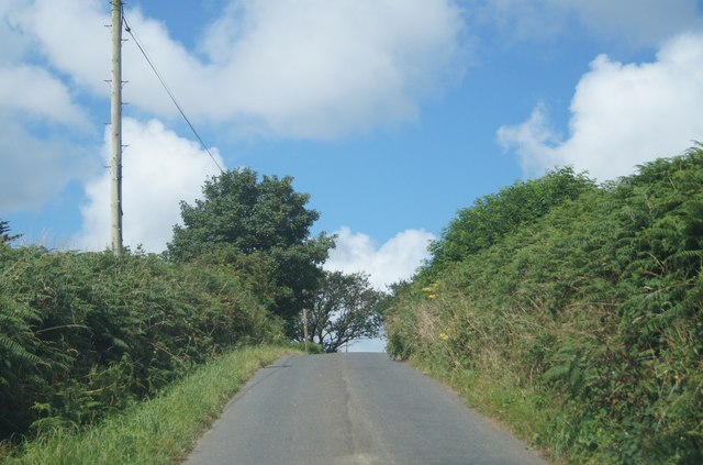
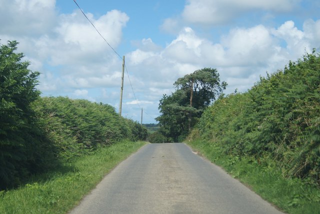
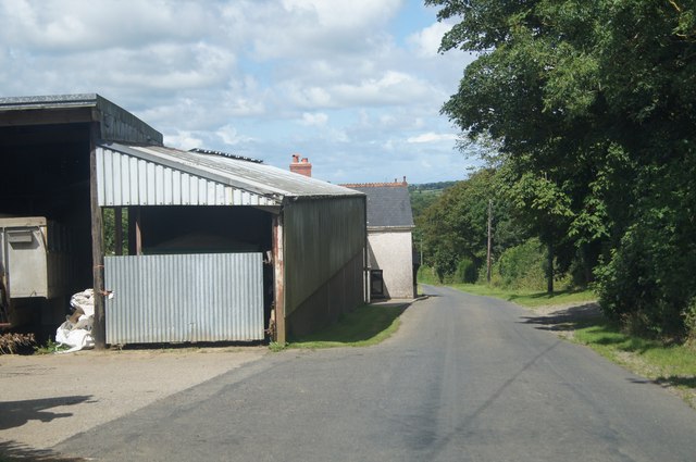
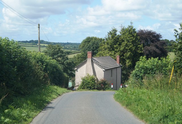
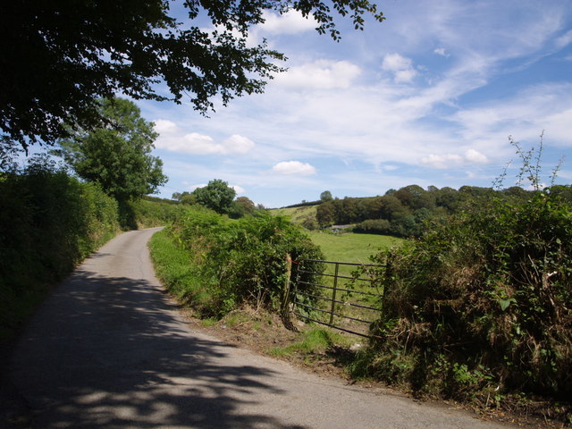
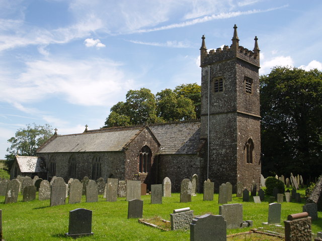
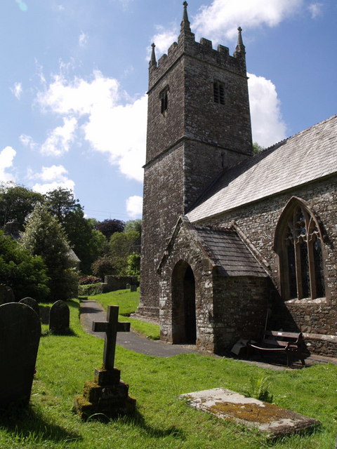
Ireland Wood Images

Images are sourced within 2km of 50.861618/-4.2669138 or Grid Reference SS4009. Thanks to Geograph Open Source API. All images are credited.

Farmland, Gratton Looking across a tributary valley of the Waldon to houses along the lane at Gratton. Taken from the lane north of Withypool Bridge.
Farmland, Gratton
Looking across a tributary valley of the Waldon to houses along the lane at Gratton. Taken from the lane north of Withypool Bridge.
Lane to Milton Damerel From the same gateway as <a href="https://www.geograph.org.uk/photo/4927274">SS3910 : Farmland, Gratton</a>. On the left is a field access track.
Lane to Milton Damerel
From the same gateway as SS3910 : Farmland, Gratton. On the left is a field access track.
Road junction near Manor Cottage The entrance to Manor Cottage is on the right.  The road to the left leads through woodland to Thorne
Road junction near Manor Cottage
The entrance to Manor Cottage is on the right. The road to the left leads through woodland to Thorne
Minor road at Thorne The tree-lined minor road leads from Thornbury to Holsworthy Beacon, passing the farm at Thorne; the mud is at the entrance to a field.
Minor road at Thorne
The tree-lined minor road leads from Thornbury to Holsworthy Beacon, passing the farm at Thorne; the mud is at the entrance to a field.
Brow of the hill at Headweir
Brow of the hill at Gratton In the summer months all the farm buildings are hidden by the virulent hedge growth.
Brow of the hill at Gratton
In the summer months all the farm buildings are hidden by the virulent hedge growth.
Passing Gratton Farm
Heading down to Lower Gratton
Crossing a stream at Netherleigh The stream flows southwards into the river Waldon, which shortly after flows into the river Torridge.
Crossing a stream at Netherleigh
The stream flows southwards into the river Waldon, which shortly after flows into the river Torridge.
Lane east of Aveleigh
Field near Thornbury Seen from Thornbury Footpath 5, the field is bordered to the left by a small wood along the lane between Woodacott Cross and Thornbury.
Field near Thornbury
Seen from Thornbury Footpath 5, the field is bordered to the left by a small wood along the lane between Woodacott Cross and Thornbury.
Four and a half bar gate View northeast. The road bends sharp left before this gate.
Four and a half bar gate
View northeast. The road bends sharp left before this gate.
Country road near Berry Farm The road slopes down steeply and at the bottom of this straight there is a sharp bend to the right.
Country road near Berry Farm
The road slopes down steeply and at the bottom of this straight there is a sharp bend to the right.
Old milk churn stand at Berry Farm Looking west southwest. This is northeast of South Wonford.
Old milk churn stand at Berry Farm
Looking west southwest. This is northeast of South Wonford.
Signpost northeast of South Wonford. Looking north northeast. The valley is that of the River Waldon.
Signpost northeast of South Wonford.
Looking north northeast. The valley is that of the River Waldon.
In the direction of Thornbury Looking south-southeast.
In the direction of Thornbury
Looking south-southeast.
St Peter's Church, Thornbury Restored in 1876, but "a good deal of the early medieval church remains" (Cherry & Pevsner). The unbuttressed tower looks unusual. The church was closed when the photo was taken because of falling plaster.
St Peter's Church, Thornbury
Restored in 1876, but "a good deal of the early medieval church remains" (Cherry & Pevsner). The unbuttressed tower looks unusual. The church was closed when the photo was taken because of falling plaster.
Thornbury Mill Cross The lane from Thornbury (to the right) swings towards Gidcott Cross at this junction by the River Waldon. The gateway gives a glimpse of Ireland Cottage.
Thornbury Mill Cross
The lane from Thornbury (to the right) swings towards Gidcott Cross at this junction by the River Waldon. The gateway gives a glimpse of Ireland Cottage.
Show me another place!

Ireland Wood is located at Grid Ref: SS4009 (Lat: 50.861618, Lng: -4.2669138)

Administrative County: Devon

District: Torridge

Police Authority: Devon and Cornwall

What 3 Words

///munch.unguarded.fracture. Near Holsworthy, Devon

Nearby Locations

Gidcott Wood Ireland Wood

Related Wikis

Thornbury, Devon

Thornbury is a small village and civil parish in the local government district of Torridge, Devon, England. The parish, which lies about five miles (8...

Milton Damerel

Milton Damerel is a village, parish and former manor in north Devon, England. Situated in the political division of Torridge, on the river Waldon, it covers...

Bradford, Devon

Bradford is a village and civil parish in the local government district of Torridge, Devon, England. The parish, which lies about six miles east of the...

Woodacott

Woodacott is a small village in Devon, England. The nearest shops are in Holsworthy, about four miles to the south-west of Woodacott. The village is less...

Nearby Amenities

Located within 500m of 50.861618,-4.2669138
Gidcott Cross
Junction: yes
Source: OS_OpenData_StreetView
Lat/Long: 50.863463/-4.2634007
Direction: S
Generator Method: photovoltaic
Generator Output Electricity: yes
Generator Solar Modules: 21
Generator Source: solar
Generator Type: solar_photovoltaic_panel
Location: roof
Power: generator
Lat/Long: 50.8623145/-4.2673761
Give Way
Lat/Long: 50.8634795/-4.2634356
Give Way
Lat/Long: 50.8618684/-4.2715258
The data included in this document is from www.openstreetmap.org. The data is made available under ODbL.

Have you been to Ireland Wood?

Leave your review of Ireland Wood below (or comments, questions and feedback).