Halton Barton

Settlement in Cornwall

England

Halton Barton

Former Bible Christian Chapel
Former Bible Christian Chapel Credit: Paul Barnett

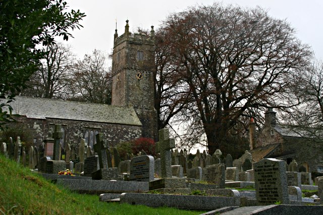
Halton Barton is a small village located in the county of Cornwall, England. Situated within the parish of St. Minver Lowlands, it is nestled in the picturesque countryside, offering beautiful views of the surrounding landscape. The village is approximately 4 miles northwest of the town of Wadebridge and about 15 miles northwest of the popular tourist destination, Newquay.

Halton Barton is known for its tranquil and rural atmosphere, making it an ideal retreat for those seeking peace and relaxation. The village is characterized by its traditional Cornish architecture, with charming cottages and farmhouses dotting the area. The local community is tight-knit and friendly, creating a warm and welcoming environment for residents and visitors alike.

The village is surrounded by lush green fields and rolling hills, making it a haven for outdoor enthusiasts. There are several walking and cycling routes in the area, allowing visitors to explore the stunning countryside and admire the diverse flora and fauna. Additionally, Halton Barton is in close proximity to the beautiful coastline of Cornwall, offering easy access to sandy beaches and breathtaking coastal paths.

While Halton Barton is primarily a residential area, there are a few amenities available to residents. These include a village hall, providing a venue for community events and gatherings, as well as a local pub where locals and tourists can enjoy a drink and a meal. For further amenities, the nearby town of Wadebridge offers a wider range of shops, restaurants, and services.

Overall, Halton Barton is a charming and idyllic village that offers a peaceful retreat in the heart of the Cornish countryside. With its stunning scenery and friendly community, it is a hidden gem for those seeking a tranquil escape.

If you have any feedback on the listing, please let us know in the comments section below.

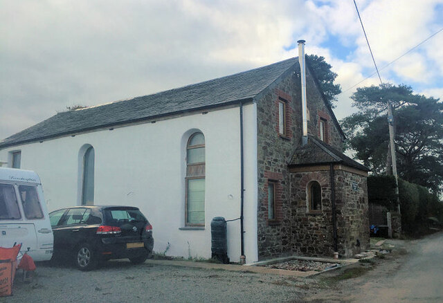
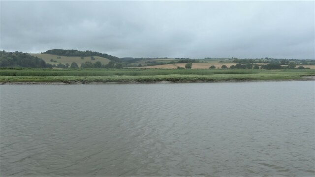
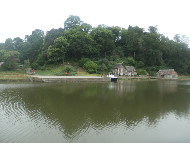
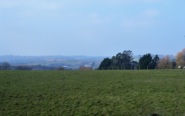
Halton Barton Images

Images are sourced within 2km of 50.462946/-4.2556659 or Grid Reference SX4065. Thanks to Geograph Open Source API. All images are credited.

Former Bible Christian Chapel
St Mallanus's Church
Drive to St Mellion Estate
Gates to Briston Orchard The entrance to Briston Farmhouse is on the left.
Gates to Briston Orchard
The entrance to Briston Farmhouse is on the left.
Road to Polborder off the A388
Marshy edge of the Hooe peninsula On the Devon bank of the River Tamar.
Marshy edge of the Hooe peninsula
On the Devon bank of the River Tamar.
Salt marsh on the Hooe peninsula On the Devon bank of the River Tamar.
Salt marsh on the Hooe peninsula
On the Devon bank of the River Tamar.
Boat moored on the Tamar, downstream of North Hooe The rising tide makes the boat point downstream.
Boat moored on the Tamar, downstream of North Hooe
The rising tide makes the boat point downstream.
Chapel Farm, north of Halton Quay On the Cornish side of the River Tamar.
Chapel Farm, north of Halton Quay
On the Cornish side of the River Tamar.
Hilton Quay, River Tamar There are many small quays along the tidal river, dating from the time when the river was the main [perhaps only] freight route in this area.
Hilton Quay, River Tamar
There are many small quays along the tidal river, dating from the time when the river was the main [perhaps only] freight route in this area.
Boat moored at Pentillie Quay On the Cornish side of the River Tamar.
Boat moored at Pentillie Quay
On the Cornish side of the River Tamar.
The Church of St Melanus at St Mellion Viewed from the north-east.
The Church of St Melanus at St Mellion
Viewed from the north-east.
Ordnance Survey Cut Mark This can be found on the wall of St Melanus Church at St Mellion.
For more detail see : <span class="nowrap"><a title="http://www.bench-marks.org.uk/bm71192" rel="nofollow ugc noopener" href="http://www.bench-marks.org.uk/bm71192">Link</a><img style="margin-left:2px;" alt="External link" title="External link - shift click to open in new window" src="https://s1.geograph.org.uk/img/external.png" width="10" height="10"/></span>
Ordnance Survey Cut Mark
This can be found on the wall of St Melanus Church at St Mellion. For more detail see : LinkExternal link
Old Milestone by the A388, St Mellion Carved stone post by the A388, in parish of ST MELLION (CARADON District), East of The Glebe, on the verge on bend clear of hedge, on East side of road. Callington C gravestone, erected by the Callington turnpike trust in the 18th century. 

Inscription reads:-
3½
C
Carved benchmark on front face.

Grade II Listed. List Entry Number: 1329047
<span class="nowrap"><a title="https://historicengland.org.uk/listing/the-list/list-entry/1329047" rel="nofollow ugc noopener" href="https://historicengland.org.uk/listing/the-list/list-entry/1329047">Link</a><img style="margin-left:2px;" alt="External link" title="External link - shift click to open in new window" src="https://s1.geograph.org.uk/img/external.png" width="10" height="10"/></span>

Milestone Society National ID: CW_CLSH03.
Old Milestone by the A388, St Mellion
Carved stone post by the A388, in parish of ST MELLION (CARADON District), East of The Glebe, on the verge on bend clear of hedge, on East side of road. Callington C gravestone, erected by the Callington turnpike trust in the 18th century. Inscription reads:- 3½ C Carved benchmark on front face. Grade II Listed. List Entry Number: 1329047 LinkExternal link Milestone Society National ID: CW_CLSH03.
Old Milestone by the former A388, Paynter's Cross Carved stone post by the UC road (was A388), in parish of PILLATON (CARADON District), Paynters Cross, not on line of old road, on South side of road. Callington C gravestone, erected by the Callington turnpike trust in the 18th century. 

Inscription reads:-
4½
C 

Grade II Listed. List Entry Number: 1392533
<span class="nowrap"><a title="https://historicengland.org.uk/listing/the-list/list-entry/1392533" rel="nofollow ugc noopener" href="https://historicengland.org.uk/listing/the-list/list-entry/1392533">Link</a><img style="margin-left:2px;" alt="External link" title="External link - shift click to open in new window" src="https://s1.geograph.org.uk/img/external.png" width="10" height="10"/></span>

Milestone Society National ID: CW_CLSH04.
Old Milestone by the former A388, Paynter's Cross
Carved stone post by the UC road (was A388), in parish of PILLATON (CARADON District), Paynters Cross, not on line of old road, on South side of road. Callington C gravestone, erected by the Callington turnpike trust in the 18th century. Inscription reads:- 4½ C Grade II Listed. List Entry Number: 1392533 LinkExternal link Milestone Society National ID: CW_CLSH04.
Lane to Sillaton
Lane to Sillaton
Field by A388
Field by A388
Gorse bushes by A388
Show me another place!

Halton Barton is located at Grid Ref: SX4065 (Lat: 50.462946, Lng: -4.2556659)

Unitary Authority: Cornwall

Police Authority: Devon and Cornwall

What 3 Words

///gent.reclining.lawfully. Near Pillaton, Cornwall

Related Wikis

Paynter's Cross

Paynter's Cross is a hamlet on the A388 main road southeast of St Mellion in southeast Cornwall, England, UK. == References ==

Halton Barton

Halton Barton is a farm in the parish of St Dominic in Cornwall, England. == See also == List of farms in Cornwall == References ==

Polborder

Polborder is a hamlet south of St Mellion in Cornwall, England. == References ==

Pentillie

Pentillie Castle is a grade II* listed country house and estate on the bank of the River Tamar in Paynters Cross, near to St Mellion, in Cornwall, England...

St Mellion

St Mellion (Cornish: Sen Melyan) is a village and rural civil parish in east Cornwall, England, United Kingdom. The parish is about 3 miles (5 km) south...

Bealbury

Bealbury is a hamlet in St Mellion civil parish in east Cornwall, England, United Kingdom. It is two miles south of Callington. == References ==

St Dominic, Cornwall

St Dominic (Cornish: Sen Domynek) is a civil parish and village in Cornwall, England, United Kingdom. The village is situated 2+1⁄2 miles (4.0 km) east...

Bohetherick

Bohetherick is a village in the Tamar valley in east Cornwall, England, in the United Kingdom, approximately five miles (8 km) north of Saltash. It is...

Have you been to Halton Barton?

Leave your review of Halton Barton below (or comments, questions and feedback).