Halton
Settlement in Buckinghamshire
England
Halton
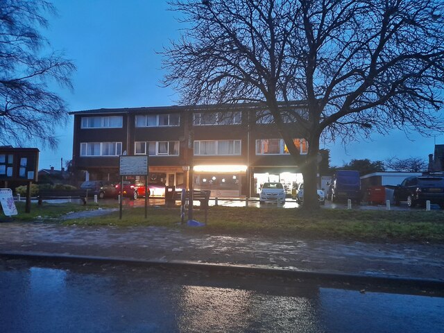
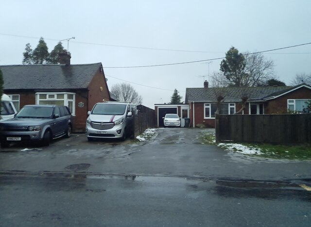
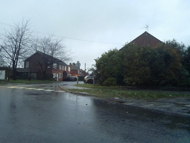
Halton is a small village located in the county of Buckinghamshire, England. Situated about 3 miles east of Aylesbury, it falls within the Aylesbury Vale district. With a population of around 1,600 residents, Halton is known for its peaceful and picturesque surroundings.
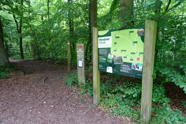
The village is nestled in the Chiltern Hills, an Area of Outstanding Natural Beauty, offering stunning landscapes and countryside views. It is bordered by the Wendover Woods to the east, providing ample opportunities for outdoor activities such as hiking, cycling, and picnicking.
Halton has a rich history, dating back to the medieval period. The village is home to the Halton House, a magnificent mansion built in the late 19th century for the Rothschild family. This impressive building now serves as the Officers' Mess for the Royal Air Force base located nearby.
The village offers a range of amenities for its residents, including a primary school, a community center, and a local pub. The nearby town of Aylesbury provides additional shopping, dining, and entertainment options.
Halton is well-connected to other parts of Buckinghamshire and beyond. The A41 road runs through the village, offering easy access to nearby towns and cities such as Oxford and London. The village also benefits from a railway station in Aylesbury, providing regular train services to London Marylebone.
Overall, Halton is a charming village that combines natural beauty, a rich history, and convenient access to amenities and transportation links, making it an attractive place to live or visit.
If you have any feedback on the listing, please let us know in the comments section below.
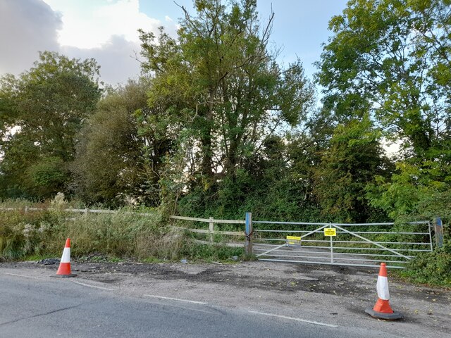
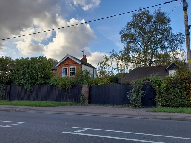
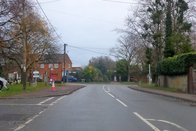
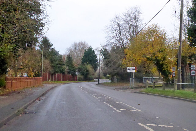
Halton Images
Images are sourced within 2km of 51.779961/-0.73786634 or Grid Reference SP8709. Thanks to Geograph Open Source API. All images are credited.


Halton is located at Grid Ref: SP8709 (Lat: 51.779961, Lng: -0.73786634)
Unitary Authority: Buckinghamshire
Police Authority: Thames Valley
What 3 Words
///winner.elated.alongside. Near Weston Turville, Buckinghamshire
Nearby Locations
Related Wikis

Halton, Buckinghamshire
Halton is a small village and civil parish in the Buckinghamshire district of the ceremonial county of Buckinghamshire, England, located about two miles...

Halton House
Halton House is a country house in the Chiltern Hills above the village of Halton in Buckinghamshire, England. It was built for Alfred Freiherr de Rothschild...
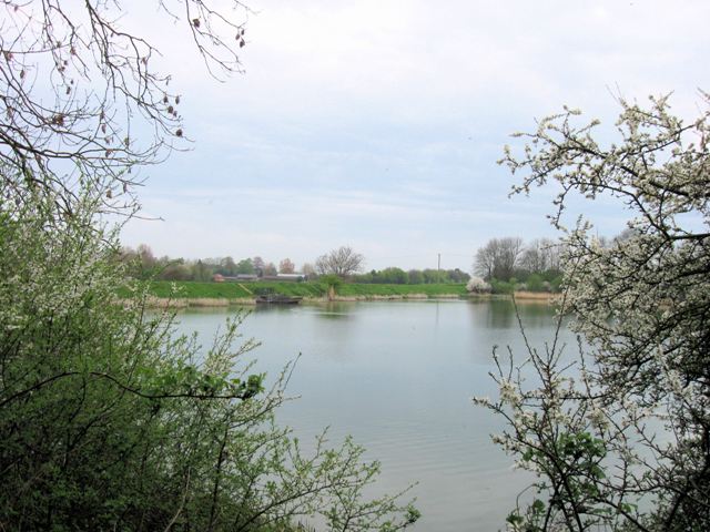
Weston Turville Reservoir
Weston Turville Reservoir is a 19 hectare biological Site of Special Scientific Interest south of Weston Turville in Buckinghamshire. It is owned by the...

Trenchard Museum
The Trenchard Museum is based at RAF Halton, Halton, Buckinghamshire, England. The overall aim of the museum is to preserve and display items that relate...
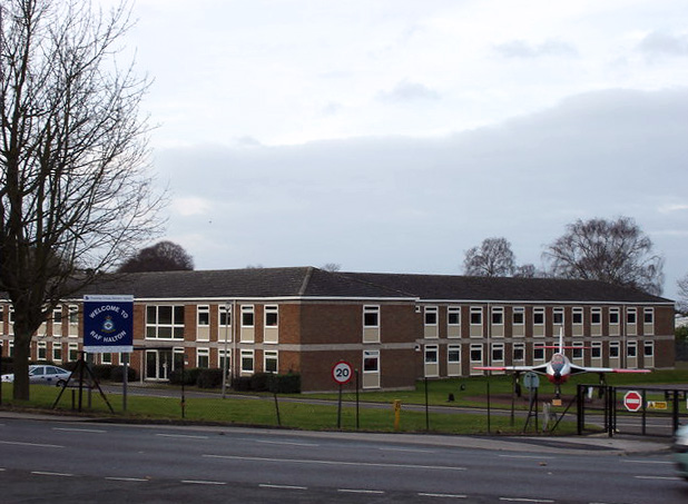
RAF Halton
Royal Air Force Halton, or more simply RAF Halton, is one of the largest Royal Air Force stations in the United Kingdom. It is located near the village...

World's End, Buckinghamshire
World's End is a hamlet 0.5 miles (0.80 km) north of Wendover, Buckinghamshire. It is part of the civil parish of Wendover which is in Aylesbury Vale district...

Princess Mary's Royal Air Force Hospital Halton
The Princess Mary's Royal Air Force Hospital Halton, was the first Royal Air Force hospital to be built that was dedicated to air force personnel. Located...
John Colet School
The John Colet School is a co-educational secondary school in Wendover, Buckinghamshire, England. In August 2011 the school became an Academy.The school...
Nearby Amenities
Located within 500m of 51.779961,-0.73786634Have you been to Halton?
Leave your review of Halton below (or comments, questions and feedback).