Barn Park Plantation
Wood, Forest in Cornwall
England
Barn Park Plantation
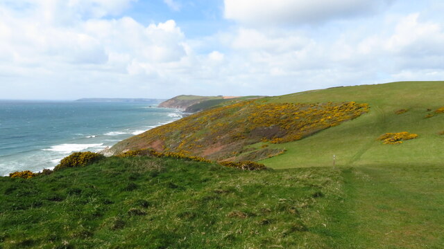
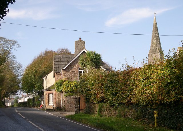
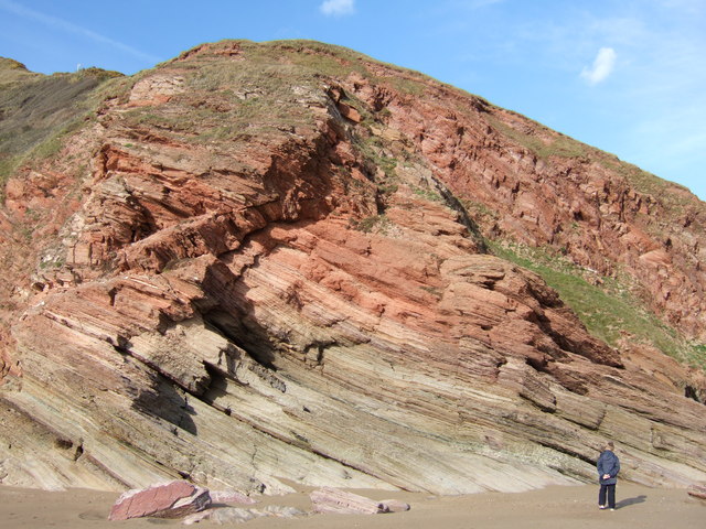
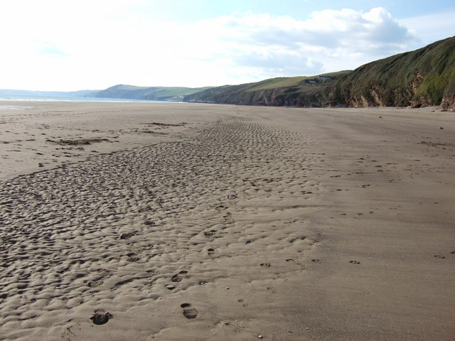
Barn Park Plantation is a scenic woodland located in Cornwall, England. Situated in the heart of the county, the plantation covers a vast area of lush greenery and is a popular destination for nature lovers and outdoor enthusiasts.
The plantation is primarily made up of a variety of trees, including oak, beech, and birch, which create a dense canopy that provides shade and shelter to the diverse flora and fauna that call this place home. The woodland floor is adorned with an array of wildflowers, ferns, and mosses, adding to the visual appeal of the area.
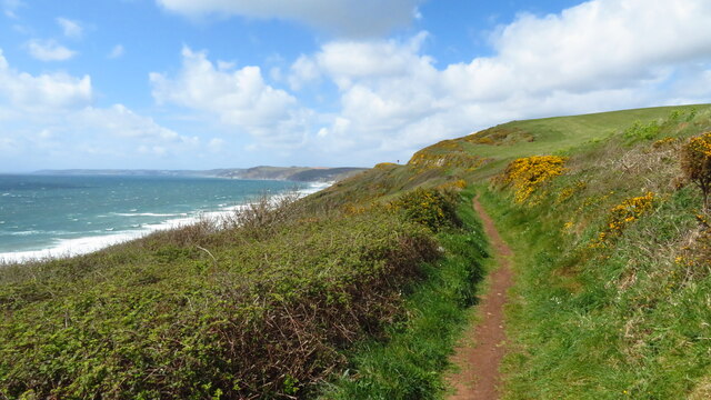
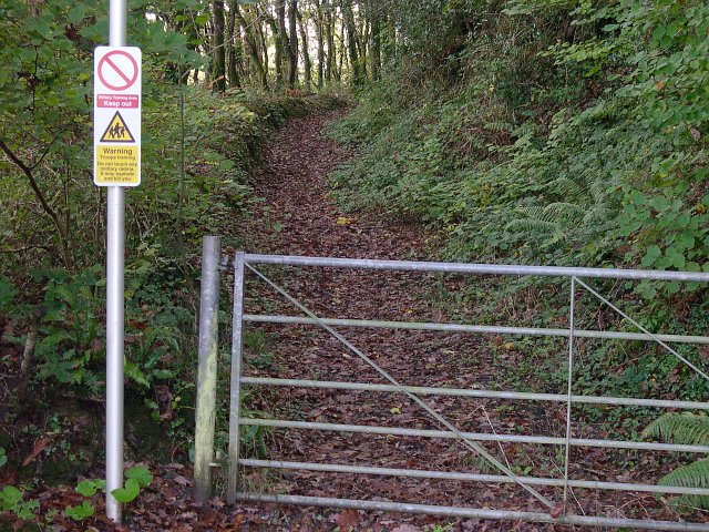
Walking trails wind through the plantation, allowing visitors to explore the vast expanse of woodland at their leisure. The paths are well-maintained, making it accessible to people of all ages and abilities. These trails also offer stunning views of the surrounding countryside, including rolling hills and valleys, providing a tranquil and picturesque setting for a leisurely stroll or a more challenging hike.
Barn Park Plantation is also home to a variety of wildlife, attracting birdwatchers and nature photographers alike. Visitors may spot species such as woodpeckers, owls, and squirrels, as well as occasional deer or foxes. The plantation is known for its peaceful atmosphere, making it an ideal spot for birdwatching and wildlife observation.
Overall, Barn Park Plantation offers a serene and enchanting natural setting, inviting visitors to immerse themselves in the beauty of Cornwall's woodlands. Whether it's a peaceful walk, a picnic amidst the trees, or a chance to spot wildlife, this plantation offers something for everyone seeking a connection with nature.
If you have any feedback on the listing, please let us know in the comments section below.
Barn Park Plantation Images
Images are sourced within 2km of 50.363893/-4.2831513 or Grid Reference SX3754. Thanks to Geograph Open Source API. All images are credited.


Barn Park Plantation is located at Grid Ref: SX3754 (Lat: 50.363893, Lng: -4.2831513)
Unitary Authority: Cornwall
Police Authority: Devon and Cornwall
What 3 Words
///fines.alternate.lowest. Near Millbrook, Cornwall
Related Wikis

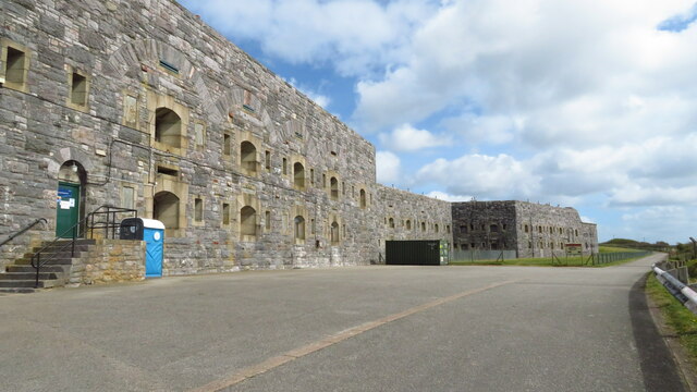
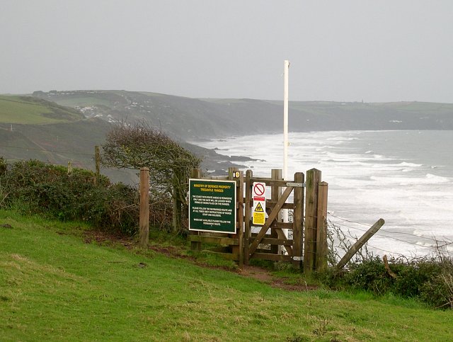
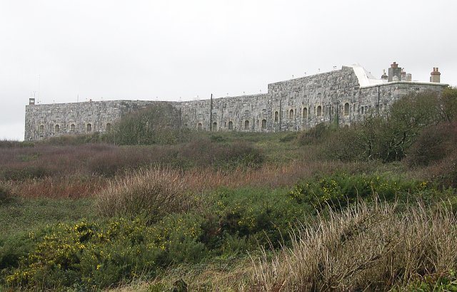
Tregantle Fort
Tregantle Fort in south east Cornwall is one of several forts surrounding Plymouth that were built as a result of a decision in Lord Palmerston's premiership...

Crafthole
Crafthole is a village in the parish of Sheviock, in southeast Cornwall, England, UK. The village has a pub (Finnygook Inn), Post Office, shop, Methodist...

Sheviock
Sheviock (Cornish: Seviek, meaning strawberry bed) is a coastal civil parish and a hamlet in south-east Cornwall, England, United Kingdom. The parish is...

Lower Tregantle
Lower Tregantle is a hamlet in Cornwall, England, UK. It is about half a mile south of Antony; Higher Tregantle is about a quarter of a mile further south...
Nearby Amenities
Located within 500m of 50.363893,-4.2831513Have you been to Barn Park Plantation?
Leave your review of Barn Park Plantation below (or comments, questions and feedback).