Crafthole Reservoir
Lake, Pool, Pond, Freshwater Marsh in Cornwall
England
Crafthole Reservoir

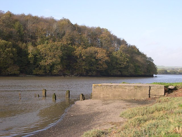
Crafthole Reservoir is a freshwater lake located in Cornwall, England. It covers an area of approximately 30 acres and is situated near the village of Crafthole. The reservoir was created in the mid-20th century for the purpose of providing a reliable water supply to the surrounding area.
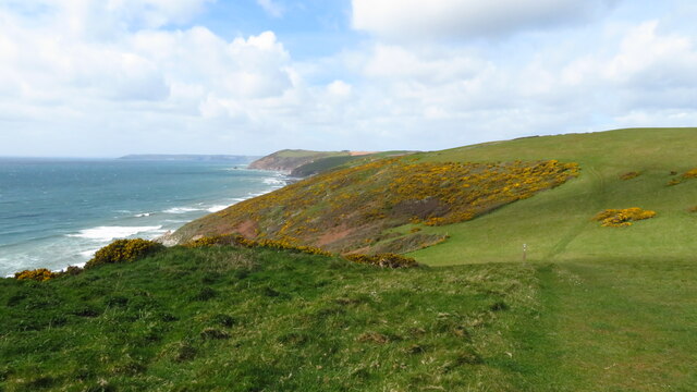
The lake is surrounded by picturesque rolling hills, offering a scenic and tranquil setting for visitors. It is primarily used for recreational activities such as fishing and boating. Fishing enthusiasts are attracted to Crafthole Reservoir for its abundant stocks of various fish species, including perch, roach, bream, and pike. Anglers can enjoy a peaceful day by the water, trying their luck and taking in the beautiful natural surroundings.
In addition to fishing, the lake also serves as a popular spot for boating and canoeing. The calm and clear waters provide an ideal environment for these activities. Visitors can rent boats or bring their own and explore the lake at their leisure.
Crafthole Reservoir is also home to a diverse range of wildlife. Its shores and surrounding areas support a variety of plant species, creating a freshwater marsh habitat. This marshland provides a vital habitat for numerous bird species, including herons, kingfishers, and ducks. Birdwatchers often visit the reservoir to observe and photograph these fascinating creatures.
Overall, Crafthole Reservoir offers a peaceful and natural retreat for outdoor enthusiasts, providing a range of recreational activities and opportunities to appreciate the local wildlife.
If you have any feedback on the listing, please let us know in the comments section below.
Crafthole Reservoir Images
Images are sourced within 2km of 50.366589/-4.2928713 or Grid Reference SX3754. Thanks to Geograph Open Source API. All images are credited.


Crafthole Reservoir is located at Grid Ref: SX3754 (Lat: 50.366589, Lng: -4.2928713)
Unitary Authority: Cornwall
Police Authority: Devon and Cornwall
What 3 Words
///voltages.forgives.working. Near Millbrook, Cornwall
Related Wikis

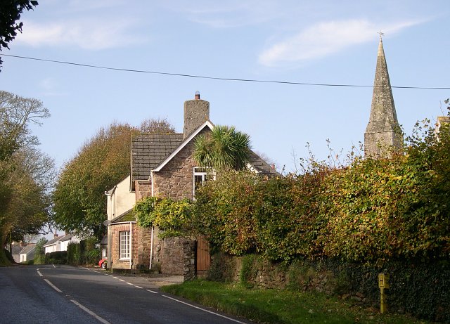
Crafthole
Crafthole is a village in the parish of Sheviock, in southeast Cornwall, England, UK. The village has a pub (Finnygook Inn), Post Office, shop, Methodist...

Sheviock
Sheviock (Cornish: Seviek, meaning strawberry bed) is a coastal civil parish and a hamlet in south-east Cornwall, England, United Kingdom. The parish is...
Portwrinkle
Portwrinkle (Cornish: Porthwykkel) is a small coastal village in south-east Cornwall, England, United Kingdom. It is at the western end of Whitsand Bay...

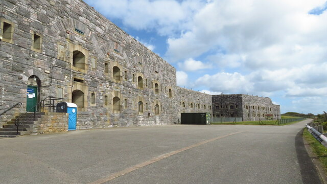
Tregantle Fort
Tregantle Fort in south east Cornwall is one of several forts surrounding Plymouth that were built as a result of a decision in Lord Palmerston's premiership...
Nearby Amenities
Located within 500m of 50.366589,-4.2928713Have you been to Crafthole Reservoir?
Leave your review of Crafthole Reservoir below (or comments, questions and feedback).