West Dyke Wood

Wood, Forest in Devon Torridge

England

West Dyke Wood

The Red Lion Hotel, Clovelly
The Red Lion Hotel, Clovelly Credit: Mark Percy

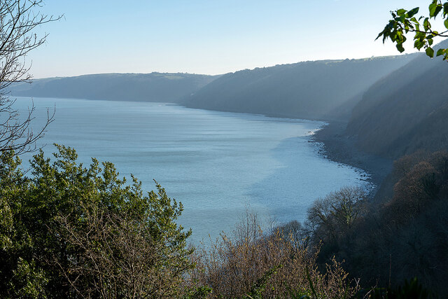
West Dyke Wood is a picturesque woodland located in the county of Devon, England. Situated near the town of Newton Abbot, this enchanting forest covers an area of approximately 100 acres, offering visitors a tranquil and immersive natural experience.

The wood is predominantly composed of deciduous trees, including oak, beech, and birch, which create a diverse and vibrant canopy overhead. The forest floor is adorned with a rich carpet of ferns, mosses, and wildflowers, providing a haven for a variety of plant and animal species.

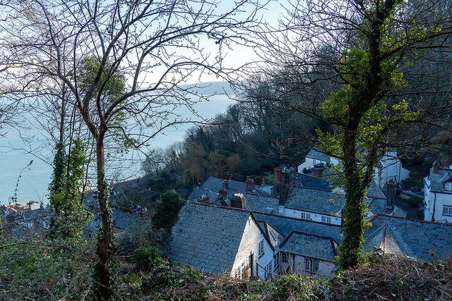
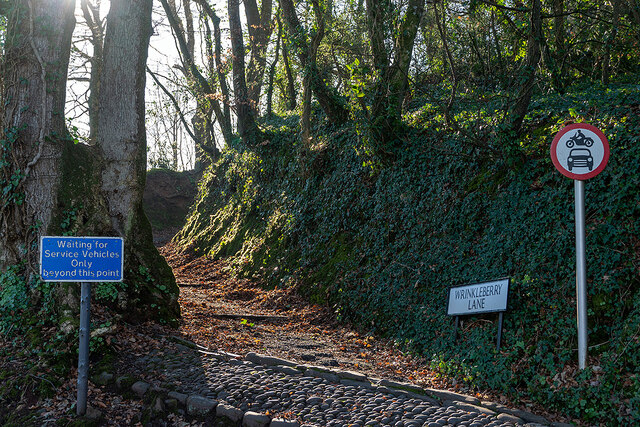
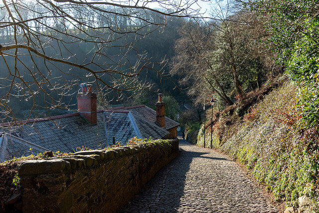
With its well-maintained network of footpaths and trails, West Dyke Wood is a popular destination for leisurely walks and nature enthusiasts. The paths wind through the forest, allowing visitors to explore its hidden nooks and crannies, and providing stunning views of the surrounding countryside.

The wood is also home to a wide range of wildlife, making it a haven for birdwatchers and animal lovers. Visitors may spot various species of birds, such as woodpeckers, nuthatches, and tawny owls, as well as small mammals like squirrels and foxes.

For those interested in history, the wood has a fascinating past. It was part of a larger estate during medieval times and still contains remnants of ancient boundary banks and ditches, adding to the charm and intrigue of the area.

West Dyke Wood offers a serene escape from the hustle and bustle of everyday life, providing a peaceful retreat for nature lovers and a chance to connect with the natural beauty of Devon.

If you have any feedback on the listing, please let us know in the comments section below.

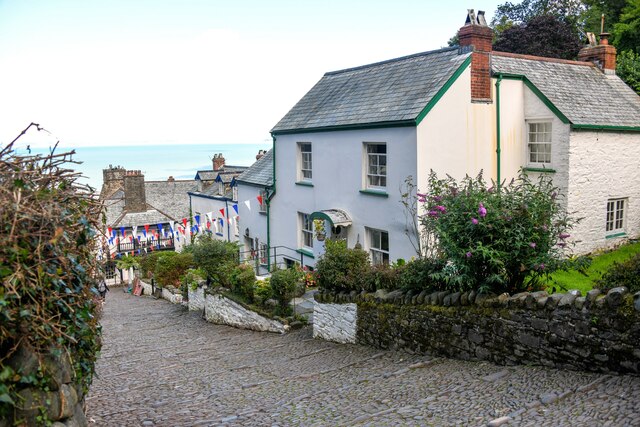
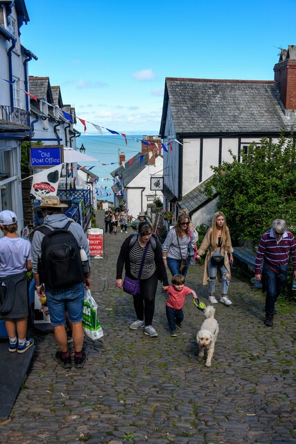
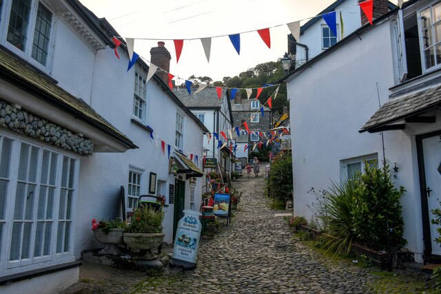
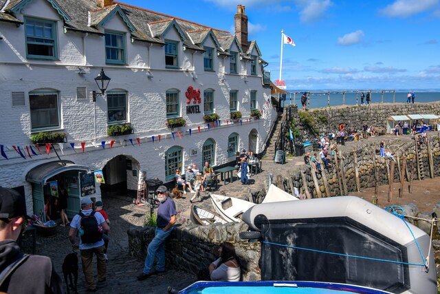
West Dyke Wood Images

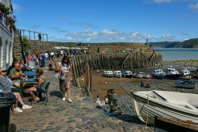
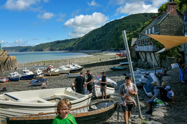
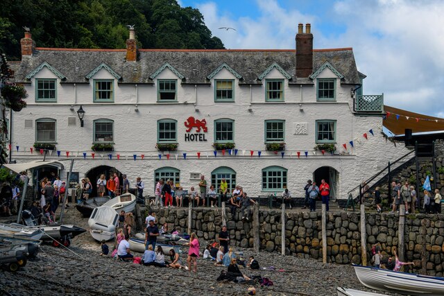
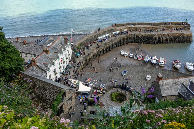
Images are sourced within 2km of 50.991019/-4.4201952 or Grid Reference SS3024. Thanks to Geograph Open Source API. All images are credited.

The Red Lion Hotel, Clovelly
Manners Memorial Cross The memorial commemorates the men of Clovelly killed in the First World War. It stands on a one-acre site donated to the National Trust by Mrs CL Hamlyn in 1921.
Manners Memorial Cross
The memorial commemorates the men of Clovelly killed in the First World War. It stands on a one-acre site donated to the National Trust by Mrs CL Hamlyn in 1921.
Clovelly Harbour
Clovelly Harbour
The New Inn, Clovelly
The New Inn Hotel, Clovelly Fronting the famous cobbled street.
The New Inn Hotel, Clovelly
Fronting the famous cobbled street.
Clovelly Bay Viewed from the top of the village.
Clovelly Bay
Viewed from the top of the village.
Houses at the top of Clovelly
Stagecoach bus at Clovelly The service from Bideford is not particularly frequent and at certain times the outward bus does not serve Clovelly, only pulling into the Visitor Centre on the return journey. It is therefore necessary to go out to Hartland before returning back to Clovelly. This I didn't mind as it gave me the opportunity to acquire another Geograph personal point at Hartland!

The last time I visited Clovelly was in the 1970s. I don't recall then being an admission charge - perhaps I'm wrong. Now it is £8.50.
Stagecoach bus at Clovelly
The service from Bideford is not particularly frequent and at certain times the outward bus does not serve Clovelly, only pulling into the Visitor Centre on the return journey. It is therefore necessary to go out to Hartland before returning back to Clovelly. This I didn't mind as it gave me the opportunity to acquire another Geograph personal point at Hartland! The last time I visited Clovelly was in the 1970s. I don't recall then being an admission charge - perhaps I'm wrong. Now it is £8.50.
Wrinkleberry Lane A sunken lane leading from upper Clovelly to Wrinkleberry and obviously of considerable antiquity.
Wrinkleberry Lane
A sunken lane leading from upper Clovelly to Wrinkleberry and obviously of considerable antiquity.
Access down to Clovelly It's cobbles all the way down!
Access down to Clovelly
It's cobbles all the way down!
Clovelly : High Street Looking along the steps heading down High Street.
Clovelly : High Street
Looking along the steps heading down High Street.
Clovelly : High Street Looking along the cobbled steps heading down High Street.
Clovelly : High Street
Looking along the cobbled steps heading down High Street.
Clovelly : High Street Looking along Clovelly High Street.
Clovelly : High Street
Looking along Clovelly High Street.
Clovelly : Harbour Looking down to the Red Lion and Clovelly Harbour.
Clovelly : Harbour
Looking down to the Red Lion and Clovelly Harbour.
Clovelly : Harbour Looking across the harbour on a busy Sunday afternoon.
Clovelly : Harbour
Looking across the harbour on a busy Sunday afternoon.
Clovelly : Harbour The harbour and the surrounding coastline.
Clovelly : Harbour
The harbour and the surrounding coastline.
Clovelly : The Red Lion Hotel A hotel facing Clovelly Harbour.
Clovelly : The Red Lion Hotel
A hotel facing Clovelly Harbour.
Clovelly : Harbour Looking down from the path towards the harbour.
Clovelly : Harbour
Looking down from the path towards the harbour.
Show me another place!

West Dyke Wood is located at Grid Ref: SS3024 (Lat: 50.991019, Lng: -4.4201952)

Administrative County: Devon

District: Torridge

Police Authority: Devon and Cornwall

What 3 Words

///paint.firewall.motoring. Near Bideford, Devon

Related Wikis

Clovelly Dykes

Clovelly Dykes is an Iron Age hill fort or earthwork near Clovelly, Devon, England. Situated on the high plateau behind the coast at approx 210 metres...

Atlantic Academy

Atlantic Academy is a secondary free school situated in Bucks Cross in Bideford, Devon, England. It has 131 pupils as of June 2017, and its current principal...
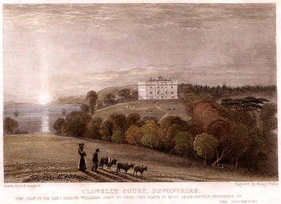
Clovelly Court

Clovelly Court is a privately owned country house in Clovelly, Devon. The house and adjacent stable block are Grade II listed buildings. The gardens and...

Burscott

Burscott is a village in Devon, England. == External links == Media related to Burscott at Wikimedia Commons

Nearby Amenities

Located within 500m of 50.991019,-4.4201952
Hugglepit
Building: farm
Lat/Long: 50.992111/-4.4154002
The data included in this document is from www.openstreetmap.org. The data is made available under ODbL.

Have you been to West Dyke Wood?

Leave your review of West Dyke Wood below (or comments, questions and feedback).