Baypark Plantation
Wood, Forest in Cornwall
England
Baypark Plantation
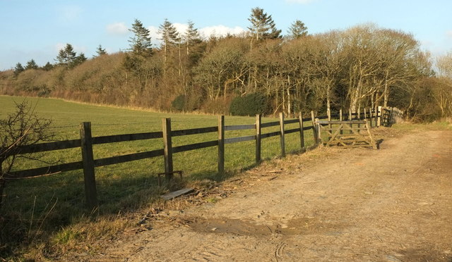
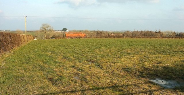
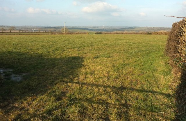
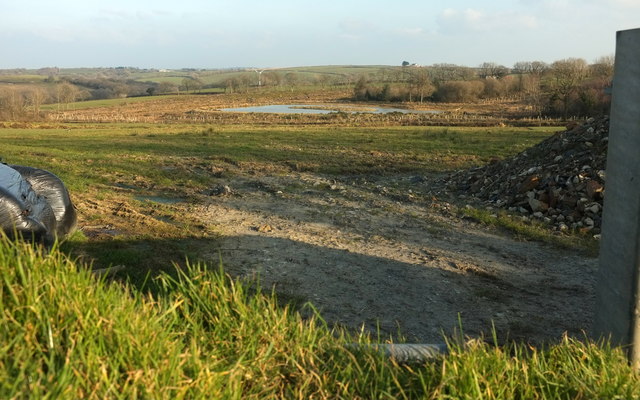
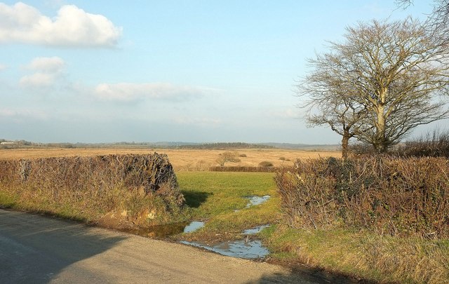
Baypark Plantation is a picturesque woodland located in Cornwall, England. Situated on the scenic coastline, it covers an area of approximately 100 acres and is known for its diverse range of trees and wildlife. The plantation is primarily made up of deciduous trees, including oak, beech, and chestnut, creating a vibrant and colorful landscape throughout the year.
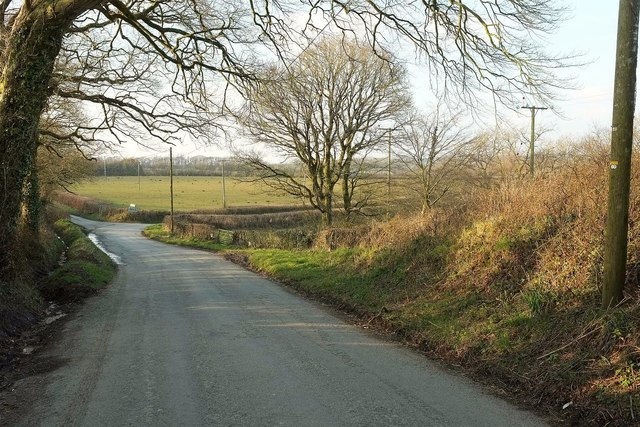
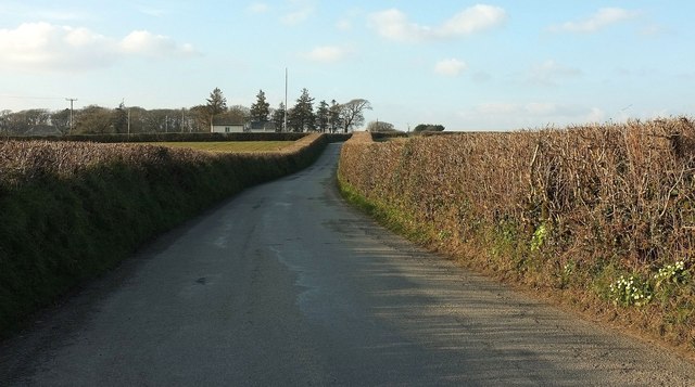
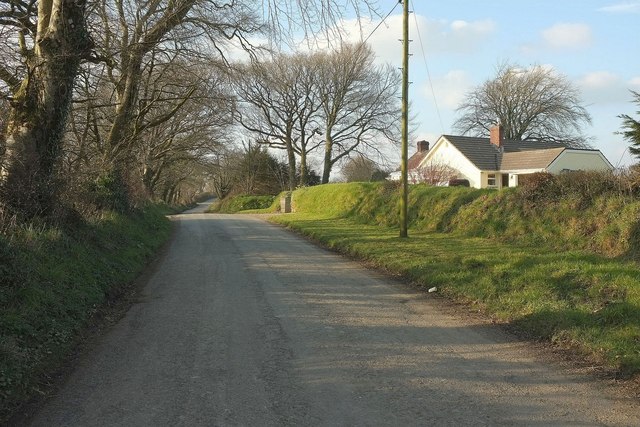
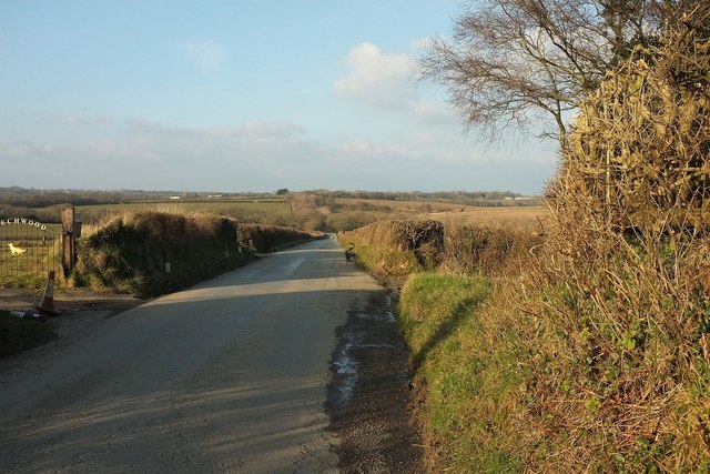
Visitors to Baypark Plantation are greeted by well-maintained walking trails that wind their way through the forest, offering stunning views of the surrounding countryside and the nearby coastline. These paths are suitable for all ages and fitness levels, making it an ideal destination for families or nature enthusiasts.
One of the highlights of Baypark Plantation is its rich wildlife. The forest is home to a variety of animals, including deer, foxes, and various bird species. Birdwatchers can spot a range of feathered friends, from woodpeckers to owls, in the tranquil surroundings of the woodland.
As well as its natural beauty, Baypark Plantation offers various recreational activities for visitors. The plantation features picnic areas and designated barbecue spots, allowing families and friends to enjoy a day out in nature. Additionally, there are several designated camping areas for those who wish to spend a night under the stars.
Overall, Baypark Plantation is a haven for nature lovers and outdoor enthusiasts. With its diverse range of trees, abundant wildlife, and a range of recreational activities, it provides a wonderful opportunity to immerse oneself in the natural beauty of Cornwall's woodlands.
If you have any feedback on the listing, please let us know in the comments section below.
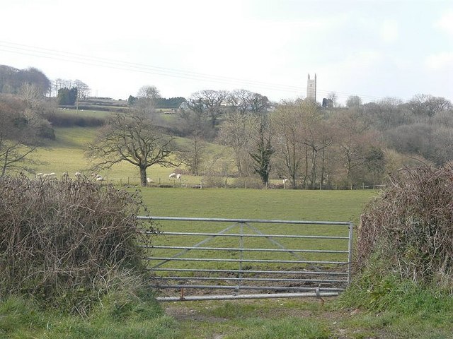
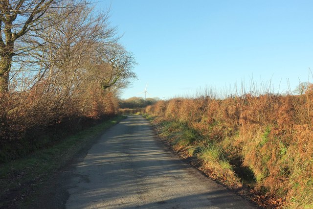
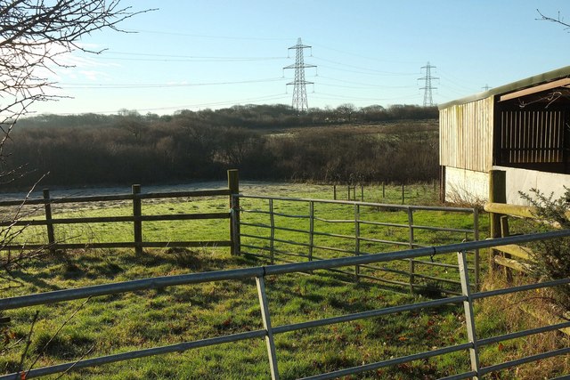
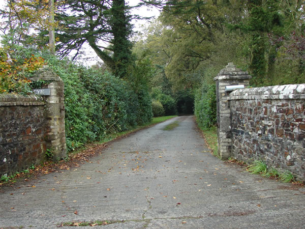
Baypark Plantation Images
Images are sourced within 2km of 50.765777/-4.4082502 or Grid Reference SX3099. Thanks to Geograph Open Source API. All images are credited.


Baypark Plantation is located at Grid Ref: SX3099 (Lat: 50.765777, Lng: -4.4082502)
Unitary Authority: Cornwall
Police Authority: Devon and Cornwall
What 3 Words
///incur.studio.blurs. Near Holsworthy, Devon
Nearby Locations
Related Wikis
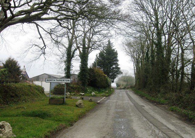
North Tamerton
North Tamerton (Cornish: Tre war Damer) is a village and civil parish in east Cornwall, England, UK. The village is situated approximately eight miles...

River Deer
The River Deer is river in Devon, a tributary of the River Tamar, joining it at North Tamerton. == Toponymy == The root of the name is uncertain, since...
Whitstone
Whitstone (Cornish: Mengwynn) is a village and civil parish in east Cornwall, England, United Kingdom. It is roughly halfway between the towns of Bude...
St Anne's Church, Whitstone
St Anne's Church, Whitstone is a Grade I listed parish church in the Church of England Diocese of Truro in Whitstone, Cornwall, England, UK. == History... ==
Have you been to Baypark Plantation?
Leave your review of Baypark Plantation below (or comments, questions and feedback).