Black Alders Wood

Wood, Forest in Cornwall

England

Black Alders Wood

Bethany Methodist chapel
Bethany Methodist chapel Credit: Paul Barnett

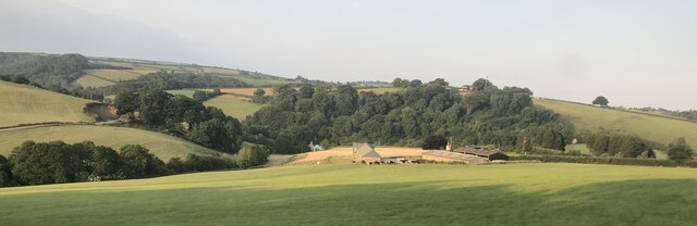
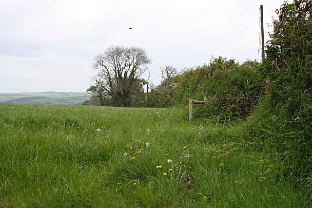
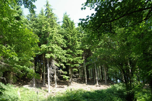
Black Alders Wood is a stunning forest located in Cornwall, England. Covering a vast area of woodland, this natural haven is home to a variety of flora and fauna, making it a popular destination for nature enthusiasts and hikers alike. The wood is primarily composed of black alder trees, which give the forest its name and provide a dense canopy that offers shade and shelter to the wildlife that inhabits the area.

Visitors to Black Alders Wood can expect to encounter a diverse range of plant and animal species, including birds, insects, and small mammals. The forest is also home to numerous walking trails that wind their way through the trees, allowing visitors to explore the peaceful surroundings and enjoy the sights and sounds of nature.

In addition to its natural beauty, Black Alders Wood also holds historical significance, with evidence of ancient settlements and archaeological sites scattered throughout the forest. This adds an extra layer of intrigue to the woodland, making it a fascinating place to visit for those interested in both nature and history. Overall, Black Alders Wood is a hidden gem in Cornwall, offering a tranquil retreat for those looking to escape the hustle and bustle of modern life.

If you have any feedback on the listing, please let us know in the comments section below.

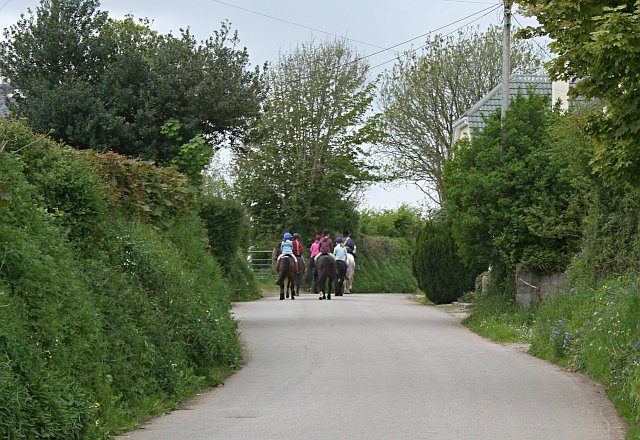
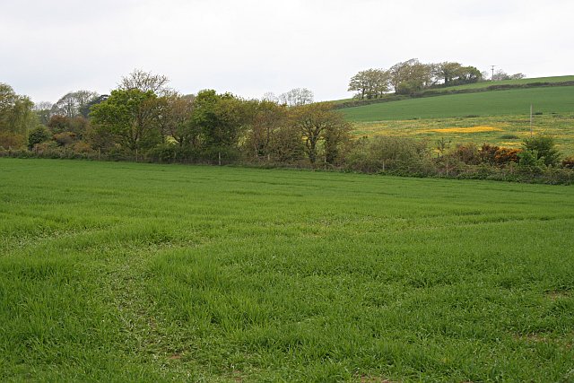
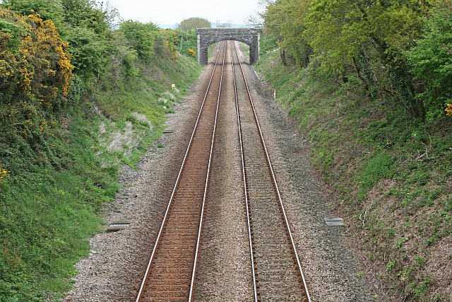
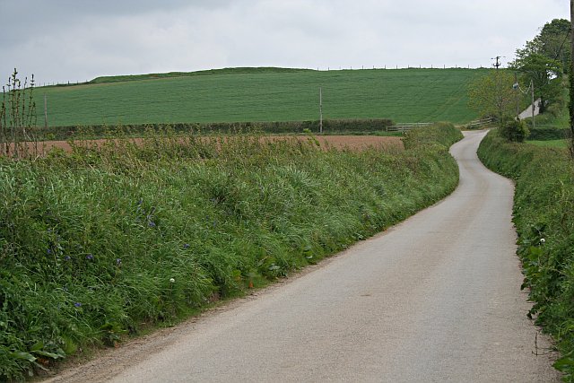
Black Alders Wood Images

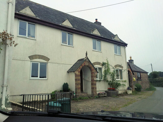
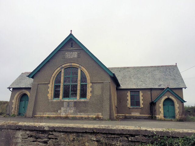
Images are sourced within 2km of 50.414148/-4.3908875 or Grid Reference SX3059. Thanks to Geograph Open Source API. All images are credited.

Bethany Methodist chapel
Bethany Methodist Church
Field near Furze Park
Tresulgan Farm
Tresulgan Farm
Spring Grain Field and Hedge
Horse Riding on a Country Lane
Valley and Hillside The line of trees in the valley mark the route of the main railway line.
Valley and Hillside
The line of trees in the valley mark the route of the main railway line.
The Main Railway Line The bridge over the line carries the track to Berry Farm.
The Main Railway Line
The bridge over the line carries the track to Berry Farm.
Electricity Sub Station The transformers step down the high voltage electricity which comes over the wires on the large pylons to a lower voltage more suitable for local distribution via wires on wooden poles.
Electricity Sub Station
The transformers step down the high voltage electricity which comes over the wires on the large pylons to a lower voltage more suitable for local distribution via wires on wooden poles.
Padderbury Top This is the northwestern section of a Bronze Age hilltop enclosure.  It is set on the top of the highest hill for some way around.  It is a circular feature.  The level ground at the bottom of the rampart would originally have been a ditch.
Padderbury Top
This is the northwestern section of a Bronze Age hilltop enclosure. It is set on the top of the highest hill for some way around. It is a circular feature. The level ground at the bottom of the rampart would originally have been a ditch.
The Hillside north of Padderbury Top At the top of the hill is the outline of a Bronze Age hilltop enclosure.
The Hillside north of Padderbury Top
At the top of the hill is the outline of a Bronze Age hilltop enclosure.
Field of Clover This field appears to be growing mostly clover with a good mixture of grass and oilseed rape.  A coarse gravel has been laid at the field gate in order to stop tractors churning the ground near the gate.
Field of Clover
This field appears to be growing mostly clover with a good mixture of grass and oilseed rape. A coarse gravel has been laid at the field gate in order to stop tractors churning the ground near the gate.
Bridge and stream, Lydcott Woods Bridge and stream, Lydcott Woods, near Widegates, Cornwall.
Bridge and stream, Lydcott Woods
Bridge and stream, Lydcott Woods, near Widegates, Cornwall.
Conifers, Lydcott Wood Conifers, Lydcott Wood, near Widegates, Cornwall.
Conifers, Lydcott Wood
Conifers, Lydcott Wood, near Widegates, Cornwall.
Large open field near Cathfrench Manor This picture shows a wide open gradually sloping field with no hedges. The contours on the map are far apart.
Large open field near Cathfrench Manor
This picture shows a wide open gradually sloping field with no hedges. The contours on the map are far apart.
Steep field and woods beyond. This picture shows (through the trees) the steeper gradient field as opposed to the field in the central section of the OS grid square. The denser woods seen here up to the left are known as 'Shippingpark Wood'.
Steep field and woods beyond.
This picture shows (through the trees) the steeper gradient field as opposed to the field in the central section of the OS grid square. The denser woods seen here up to the left are known as 'Shippingpark Wood'.
Railway track towards Penzance This picture clearly shows the railway heading towards the Tresulgan Viaduct - the safety walls of which can be seen as the track veers to the left in the picture.
Railway track towards Penzance
This picture clearly shows the railway heading towards the Tresulgan Viaduct - the safety walls of which can be seen as the track veers to the left in the picture.
Road to Wilton Farm Geographically speaking - the map shows a road should be here, so I went and there was a road - as now shown in the picture. The Wilton Farm is just round the corner - (where the top of a conifer is poking out of the hedge horizon as a marker.)
Road to Wilton Farm
Geographically speaking - the map shows a road should be here, so I went and there was a road - as now shown in the picture. The Wilton Farm is just round the corner - (where the top of a conifer is poking out of the hedge horizon as a marker.)
Show me another place!

Black Alders Wood is located at Grid Ref: SX3059 (Lat: 50.414148, Lng: -4.3908875)

Unitary Authority: Cornwall

Police Authority: Devon and Cornwall

What 3 Words

///handwriting.scribble.mouth. Near Liskeard, Cornwall

Related Wikis

Catchfrench

Catchfrench is a hamlet in Cornwall, England. It is about 1.5 miles (2.4 km) north of Hessenford.Catchfrench Manor is a late 18th-century house by Charles...

Padderbury Top

Padderbury Top is a hillfort about 2 miles (3.2 km) south-east of Menheniot, in Cornwall, England, named after the hill on which it is situated. It is...

Lower Clicker

Lower Clicker is a hamlet in the parish of Menheniot, Cornwall, England, UK. Lower Clicker lies on the A38 road approximately 3 miles (4.8 km) south-east...

Bake Fishing Lakes

Bake Fishing Lakes (grid reference SX318587); also known as Bake Lakes, Bake Farm Lakes or Bake Pools; is the name for a group of lakes at Bake Farm, near...

Nearby Amenities

Located within 500m of 50.414148,-4.3908875
Bus Stop
Castle Motors
Bus: yes
Naptan AtcoCode: 0800COA10263
Naptan Bearing: NW
Naptan CommonName: Castle Motors
Naptan NaptanCode: cordtmtw
Naptan Street: A38
Naptan Verified: no
Public Transport: platform
Source: naptan_import
Lat/Long: 50.4167948/-4.3962836
Power: tower
Lat/Long: 50.4184892/-4.3898211
Power: tower
Lat/Long: 50.4185037/-4.3923639
Parking
Parking: layby
Source: video_survey
Lat/Long: 50.4155356/-4.3874907
Power: pole
Lat/Long: 50.4111841/-4.3916076
Power: pole
Lat/Long: 50.4112815/-4.3908888
Power: pole
Lat/Long: 50.411408/-4.3896174
Power: pole
Lat/Long: 50.4118405/-4.38903
Power: pole
Lat/Long: 50.4137138/-4.3863961
Power: pole
Lat/Long: 50.414271/-4.3856424
Power: pole
Lat/Long: 50.4151649/-4.3843415
Barrier: yes
Lat/Long: 50.4146927/-4.3922829
Power: pole
Lat/Long: 50.4126575/-4.3963833
Power: pole
Lat/Long: 50.4139967/-4.3934517
Power: pole
Lat/Long: 50.4122909/-4.3951441
Power: pole
Lat/Long: 50.4128635/-4.3950355
Power: pole
Lat/Long: 50.4134566/-4.3949631
Power: pole
Lat/Long: 50.4128942/-4.3952125
Power: pole
Lat/Long: 50.4133933/-4.3929018
Power: pole
Lat/Long: 50.413554/-4.3922406
Power: pole
Lat/Long: 50.4137266/-4.3913233
Power: pole
Lat/Long: 50.4140625/-4.388283
Power: pole
Lat/Long: 50.4141881/-4.3869393
Power: pole
Lat/Long: 50.4146325/-4.386211
Power: pole
Lat/Long: 50.41819/-4.3922836
Power: pole
Lat/Long: 50.4181661/-4.3904489
Power: pole
Lat/Long: 50.4181405/-4.388617
Aeroway: helipad
Lat/Long: 50.4146286/-4.3942581
Tourism: attraction
Lat/Long: 50.4162684/-4.3953701
The data included in this document is from www.openstreetmap.org. The data is made available under ODbL.

Have you been to Black Alders Wood?

Leave your review of Black Alders Wood below (or comments, questions and feedback).