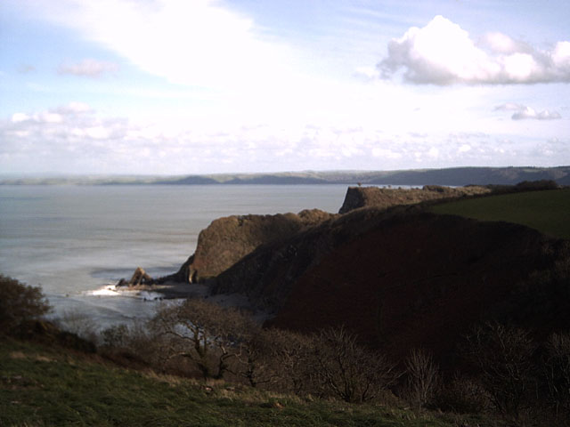
The Wilderness
Wood, Forest in Devon Torridge
England
The Wilderness
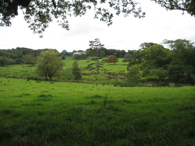
The Wilderness, located in Devon, England, is a picturesque wood and forest that offers visitors a serene and captivating natural experience. Covering an area of approximately 100 hectares, this enchanting wilderness is a haven for nature enthusiasts and outdoor adventurers.
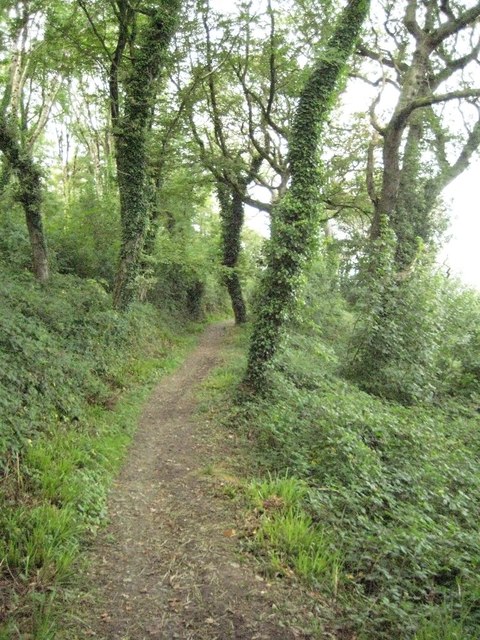
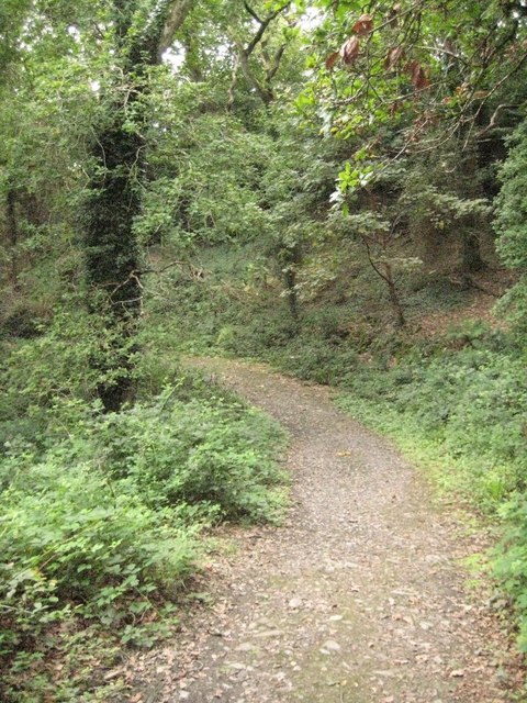
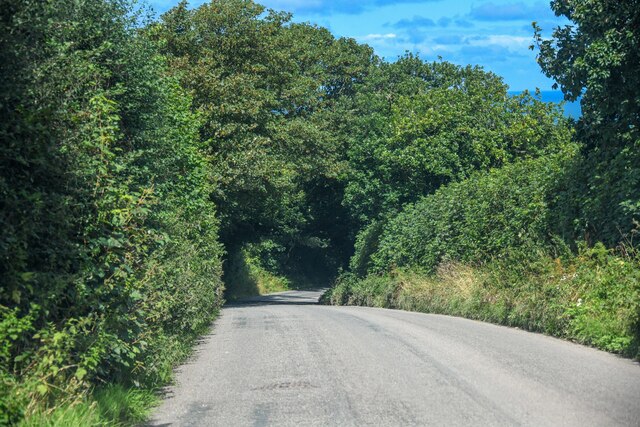
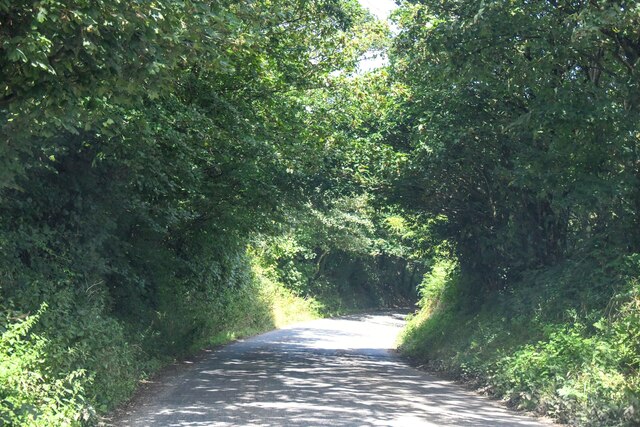
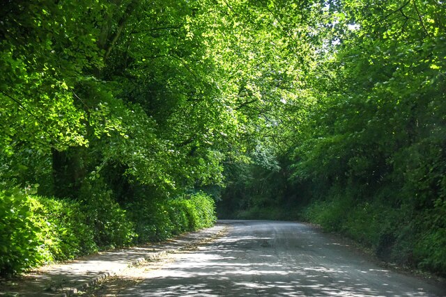
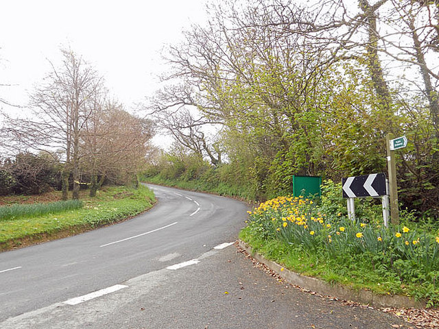
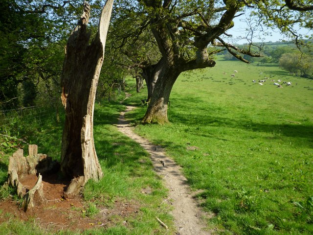
The landscape of The Wilderness is characterized by a diverse range of woodland habitats, including ancient oak and beech trees, as well as areas of dense undergrowth and wildflower meadows. The forest is crisscrossed by a network of well-maintained trails, allowing visitors to explore its hidden corners and discover its abundant flora and fauna.
The Wilderness is home to a rich variety of wildlife, making it a popular spot for birdwatching and wildlife spotting. Visitors may catch sight of elusive species such as deer, badgers, foxes, and a wide array of bird species, including woodpeckers, owls, and warblers. The forest also boasts a vibrant insect population, with butterflies and dragonflies flitting between the trees and wildflowers.
For those seeking a more immersive experience, The Wilderness offers camping facilities, allowing visitors to spend a night under the stars and wake up to the sounds of nature. The serene atmosphere and breathtaking scenery make it an ideal location for hikers, photographers, and nature lovers alike.
With its tranquil ambiance and spectacular natural beauty, The Wilderness in Devon provides a captivating escape from the hustle and bustle of everyday life, inviting visitors to reconnect with nature and experience the wonders of the British countryside.
If you have any feedback on the listing, please let us know in the comments section below.
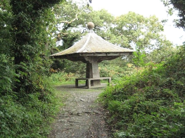
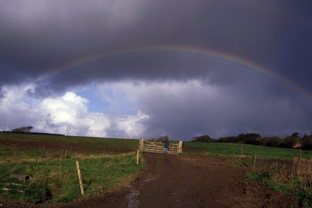
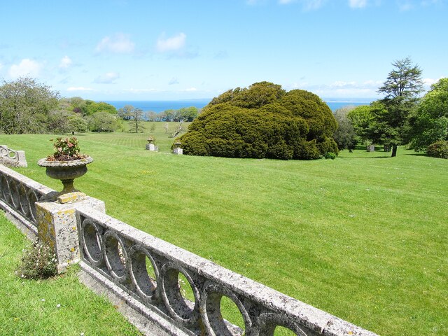
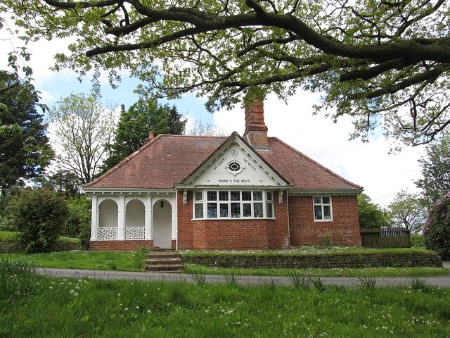
The Wilderness Images
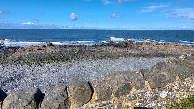
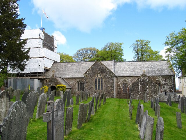
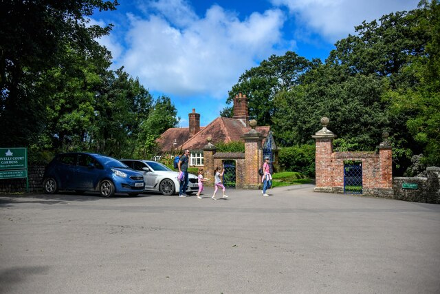
Images are sourced within 2km of 51.012563/-4.4256798 or Grid Reference SS2926. Thanks to Geograph Open Source API. All images are credited.


The Wilderness is located at Grid Ref: SS2926 (Lat: 51.012563, Lng: -4.4256798)
Administrative County: Devon
District: Torridge
Police Authority: Devon and Cornwall
What 3 Words
///reform.statement.profile. Near Northam, Devon
Nearby Locations
Related Wikis
Windbury Head
Windbury Head is the site of an Iron Age hill fort on the Hartland Peninsula, just north of Clovelly in North Devon, England. Most of the fort has been...
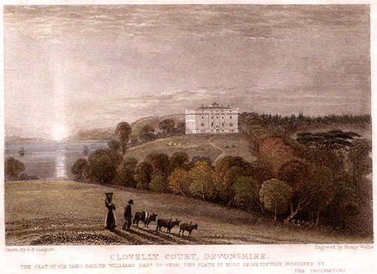
Clovelly Court
Clovelly Court is a privately owned country house in Clovelly, Devon. The house and adjacent stable block are Grade II listed buildings. The gardens and...

Atlantic Academy
Atlantic Academy is a secondary free school situated in Bucks Cross in Bideford, Devon, England. It has 131 pupils as of June 2017, and its current principal...
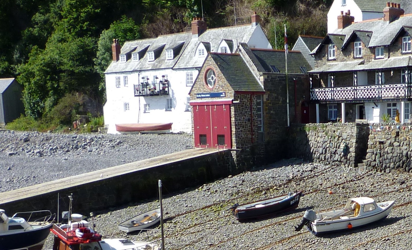
Clovelly Lifeboat Station
Clovelly Lifeboat Station, serving the North Devon village of Clovelly and surrounding coastal waters, is run by the Royal National Lifeboat Institution...
Nearby Amenities
Located within 500m of 51.012563,-4.4256798Have you been to The Wilderness?
Leave your review of The Wilderness below (or comments, questions and feedback).