Brownsham Cliff
Cliff, Slope in Devon Torridge
England
Brownsham Cliff
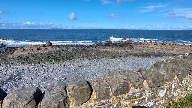
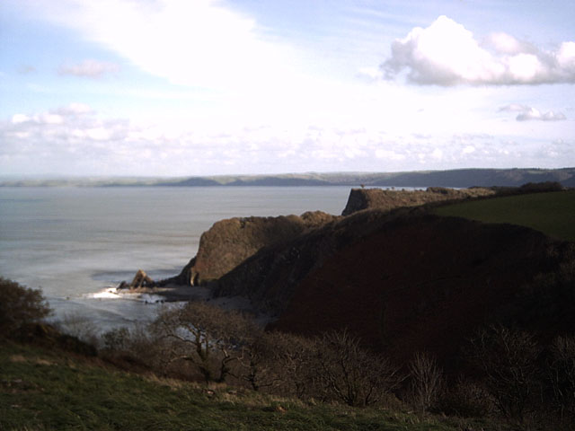
Brownsham Cliff is a prominent geological feature located in the county of Devon, England. It is situated on the rugged coastline of North Devon, near the village of Hartland. This cliff is part of the larger Hartland Peninsula, which is renowned for its stunning natural beauty and dramatic landscapes.
Rising to a height of approximately 100 meters (328 feet), Brownsham Cliff offers breathtaking views of the surrounding area. The cliff is composed of layers of sedimentary rock, primarily consisting of sandstone and shale, which have been shaped and eroded by the relentless forces of wind and water over millions of years.
The cliff face is steep and characterized by its reddish-brown color, giving it its name. It is home to a diverse range of plant and animal species, including rare coastal vegetation and seabirds. The cliff's slopes are covered in thick grass and shrubs, providing a habitat for various insects and small mammals.
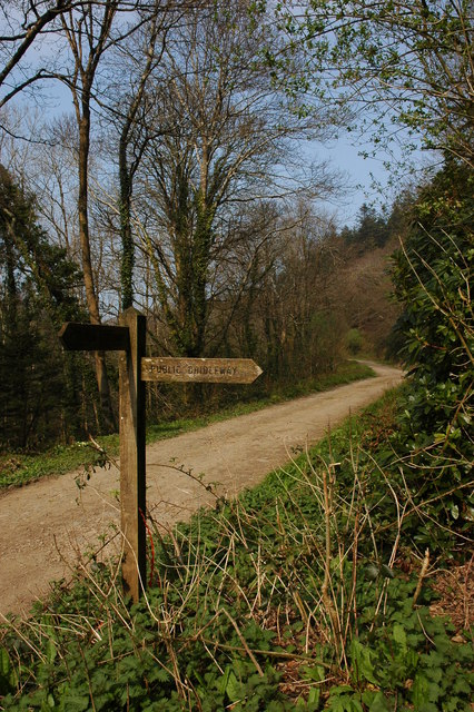
Visitors to Brownsham Cliff can enjoy walking along the coastal path that runs parallel to the cliff edge. This path offers panoramic views of the rugged coastline, with the Atlantic Ocean stretching out towards the horizon. The cliff is also a popular spot for birdwatching, as it provides an excellent vantage point for observing seabirds such as fulmars, razorbills, and guillemots.
Due to its outstanding natural beauty and ecological significance, Brownsham Cliff is protected as part of the North Devon Coast Area of Outstanding Natural Beauty. It is a place where visitors can immerse themselves in the raw power of nature and experience the stunning landscapes that make Devon such a captivating destination.
If you have any feedback on the listing, please let us know in the comments section below.
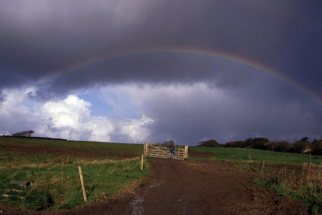
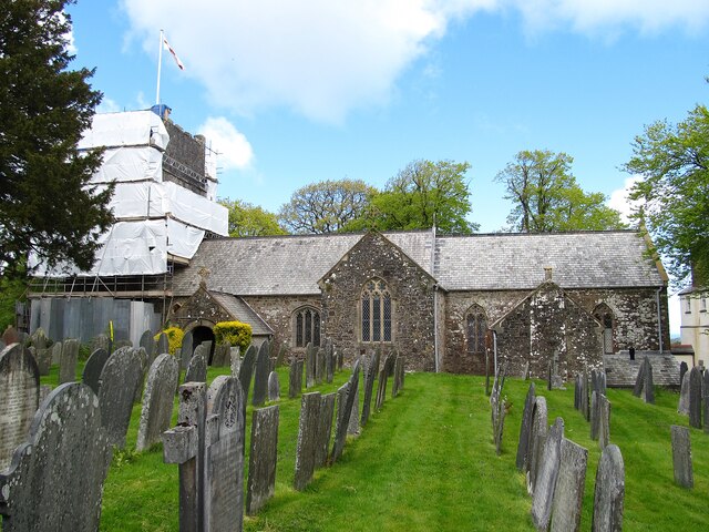
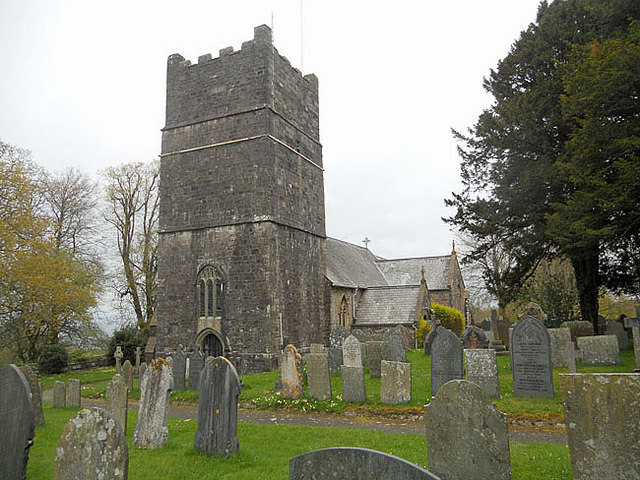
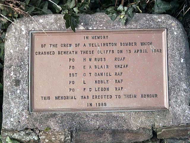
Brownsham Cliff Images
Images are sourced within 2km of 51.01229/-4.4318817 or Grid Reference SS2926. Thanks to Geograph Open Source API. All images are credited.


Brownsham Cliff is located at Grid Ref: SS2926 (Lat: 51.01229, Lng: -4.4318817)
Administrative County: Devon
District: Torridge
Police Authority: Devon and Cornwall
What 3 Words
///yield.barrel.suffice. Near Northam, Devon
Nearby Locations
Related Wikis
Windbury Head
Windbury Head is the site of an Iron Age hill fort on the Hartland Peninsula, just north of Clovelly in North Devon, England. Most of the fort has been...
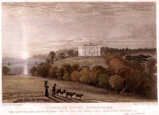
Clovelly Court
Clovelly Court is a privately owned country house in Clovelly, Devon. The house and adjacent stable block are Grade II listed buildings. The gardens and...

Atlantic Academy
Atlantic Academy is a secondary free school situated in Bucks Cross in Bideford, Devon, England. It has 131 pupils as of June 2017, and its current principal...
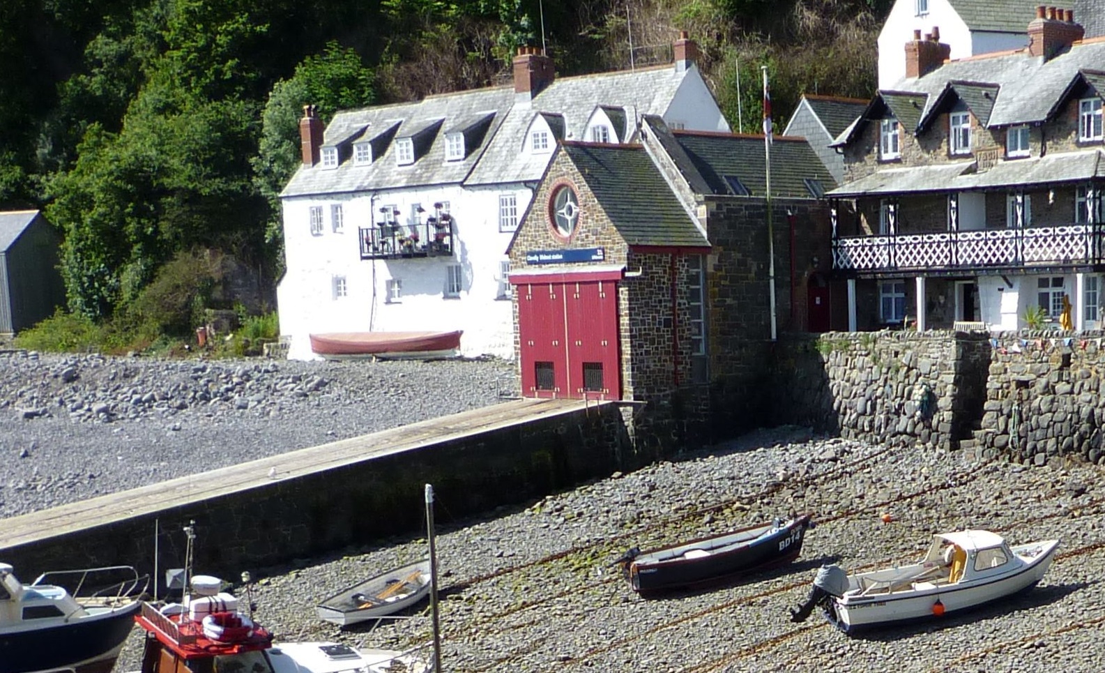
Clovelly Lifeboat Station
Clovelly Lifeboat Station, serving the North Devon village of Clovelly and surrounding coastal waters, is run by the Royal National Lifeboat Institution...

Burscott
Burscott is a village in Devon, England. == External links == Media related to Burscott at Wikimedia Commons

Clovelly
Clovelly () is a privately owned harbour village in the Torridge district of Devon, England. The settlement and surrounding land belongs to John Rous who...
Clovelly Dykes
Clovelly Dykes is an Iron Age hill fort or earthwork near Clovelly, Devon, England. Situated on the high plateau behind the coast at approx 210 metres...
The Small School
The Small School was a coeducational private school for children ages 11–16, located in Hartland, Devon, England, that closed in 2016. == History == Satish...
Nearby Amenities
Located within 500m of 51.01229,-4.4318817Have you been to Brownsham Cliff?
Leave your review of Brownsham Cliff below (or comments, questions and feedback).