Changue Heugh
Cliff, Slope in Wigtownshire
Scotland
Changue Heugh
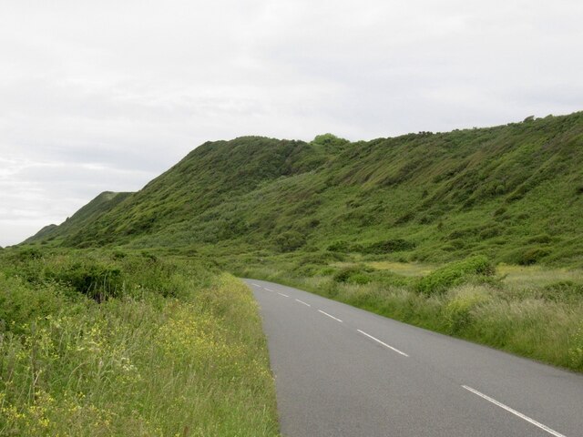
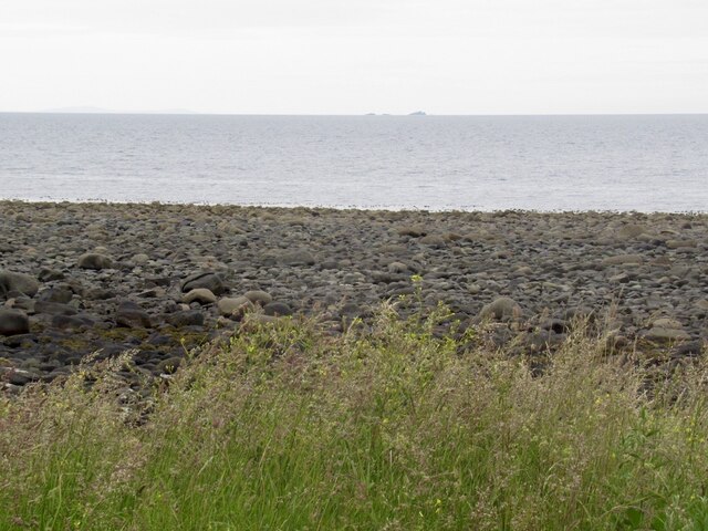
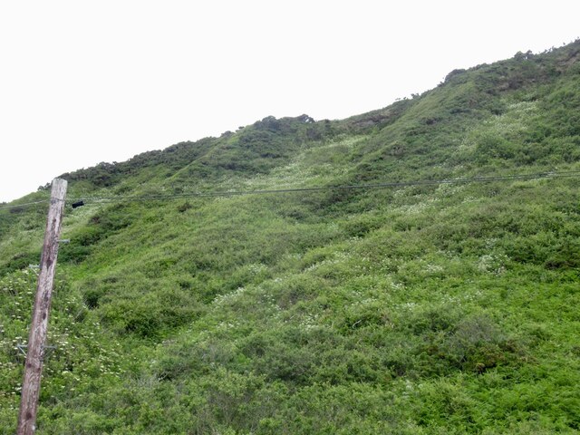
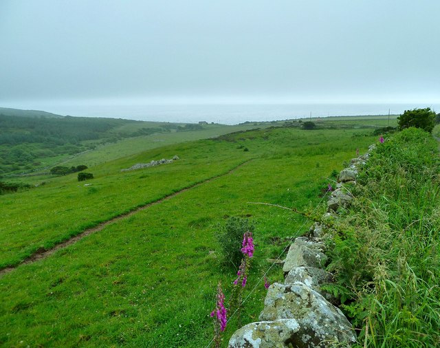
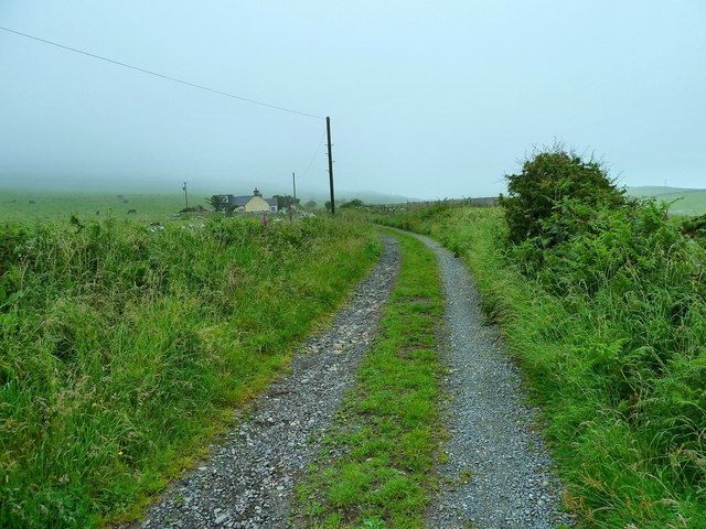
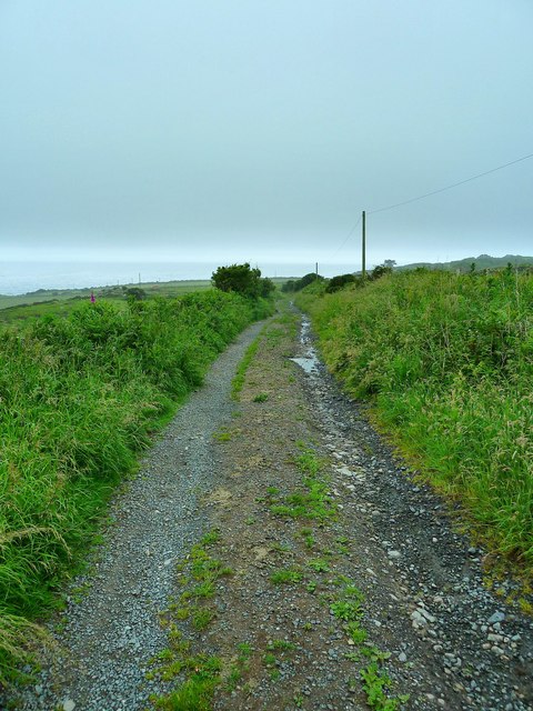
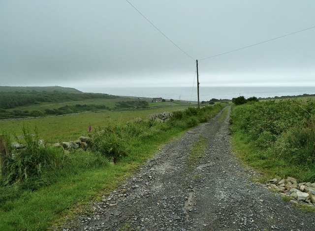
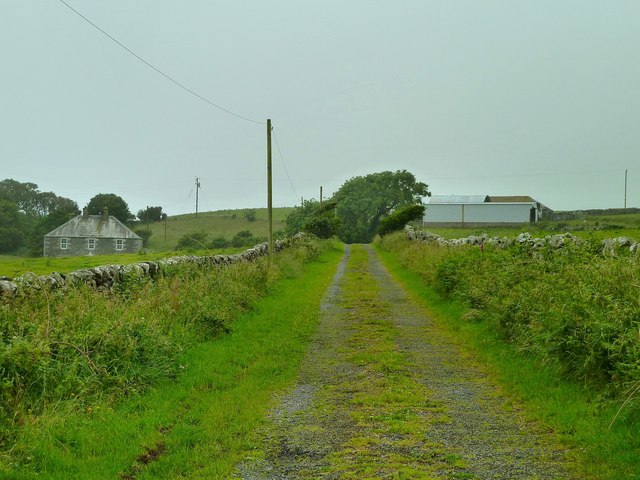
Changue Heugh is a prominent cliff located in Wigtownshire, Scotland. Rising approximately 120 meters above sea level, it is known for its stunning panoramic views of the surrounding landscape and the Irish Sea. The cliff is situated on the western coast of the Rhins peninsula, overlooking Luce Bay.
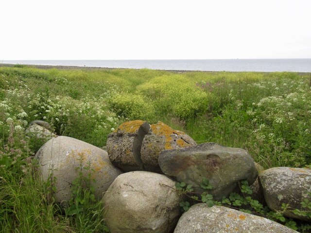
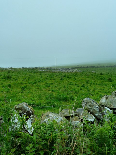
The rugged and dramatic scenery of Changue Heugh is characterized by its steep slopes and vertical cliffs, which are composed of sedimentary rocks, such as sandstone and limestone. These rocks have been shaped by natural erosion processes over millions of years, resulting in the impressive geological formations that can be seen today.
The cliff is a popular destination for nature enthusiasts and hikers, offering a variety of walking trails and paths that allow visitors to explore the area's natural beauty. From the top of Changue Heugh, visitors can enjoy breathtaking views of the coastline, with its rocky shores, sandy beaches, and rolling hills.
In addition to its natural beauty, Changue Heugh also holds historical significance. The cliff is believed to have been a defensive position during ancient times, providing strategic advantages due to its elevated position and commanding views. It is not uncommon to find remnants of ancient fortifications and settlements in the vicinity of the cliff, adding to its historical allure.
Overall, Changue Heugh is an awe-inspiring natural landmark that showcases the beauty and geological diversity of Wigtownshire. Its striking cliffs, picturesque views, and historical significance make it a must-visit destination for nature lovers and history enthusiasts alike.
If you have any feedback on the listing, please let us know in the comments section below.
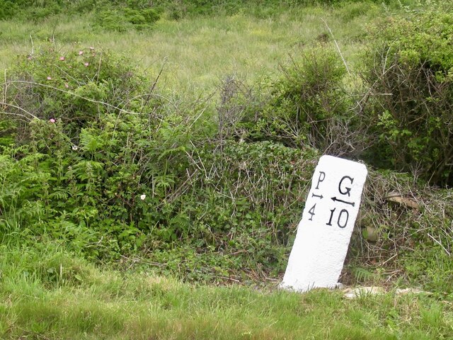
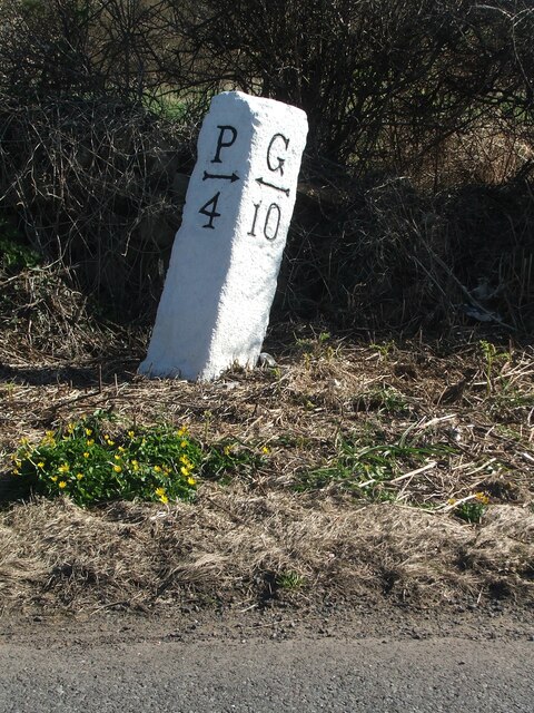
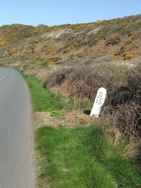
Changue Heugh Images
Images are sourced within 2km of 54.794235/-4.6492883 or Grid Reference NX2947. Thanks to Geograph Open Source API. All images are credited.


Changue Heugh is located at Grid Ref: NX2947 (Lat: 54.794235, Lng: -4.6492883)
Unitary Authority: Dumfries and Galloway
Police Authority: Dumfries and Galloway
What 3 Words
///fixture.legal.arise. Near Whithorn, Dumfries & Galloway
Nearby Locations
Related Wikis

Elrig
Elrig (Scottish Gaelic: An Eileirg, meaning "the deer run") is a clachan or hamlet in the historical county of Wigtownshire in Dumfries and Galloway...

Machars
The Machars (Scottish Gaelic: Machair Ghallghaidhealaibh) is a peninsula in the historical county of Wigtownshire in Galloway in the south-west of Scotland...

Doon of May
The Doon of May is a conifer plantation associated with an Iron Age hill fort in Dumfries and Galloway, south-west Scotland. Located around 14 kilometres...

Mochrum Loch
Mochrum Loch is a large, irregular shaped, shallow, freshwater loch in Dumfries and Galloway, in the Southern Uplands of south-west Scotland. It lies approximately...

Port William, Dumfries and Galloway
Port William (Scottish Gaelic: Cill na Tràghad) is a fishing village in the parish of Mochrum in the historical county of Wigtownshire, Dumfries and Galloway...

Mochrum
Mochrum () is a coastal civil and Church of Scotland parish situated to the east of Luce Bay on the Machars peninsula and 8 miles (13 km) southwest of...

Castle Loch, Dumfries and Galloway
Castle Loch is a large, shallow, freshwater loch in Dumfries and Galloway, in the Southern Uplands of south-west Scotland. It lies to the west of Mochrum...
Castle Loch
Castle Loch is a shallow eutrophic loch covering an area of around 100 hectares in the town of Lochmaben in Dumfries and Galloway, Scotland. It lies to...
Nearby Amenities
Located within 500m of 54.794235,-4.6492883Have you been to Changue Heugh?
Leave your review of Changue Heugh below (or comments, questions and feedback).