Airyolland Heugh

Cliff, Slope in Wigtownshire

Scotland

Airyolland Heugh

Milestone, Changue P -> Port William, G -> Glenluce
Milestone, Changue Credit: Richard Webb

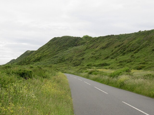
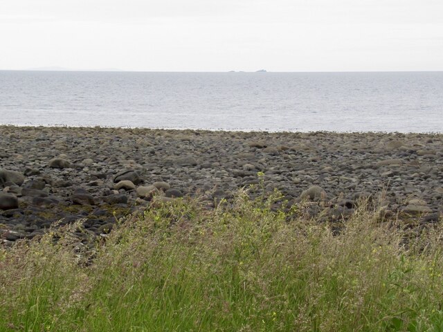
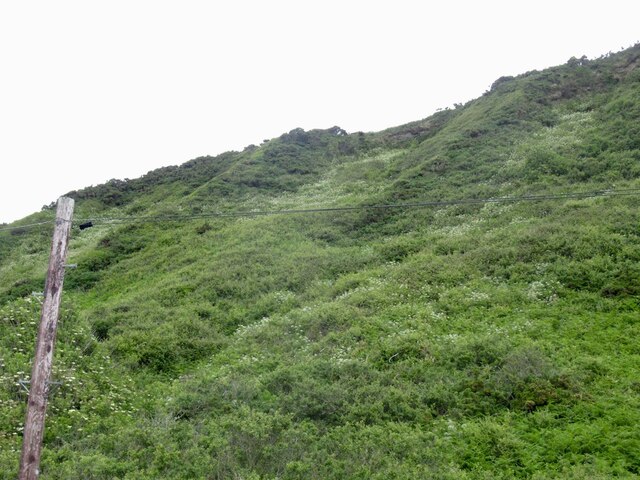
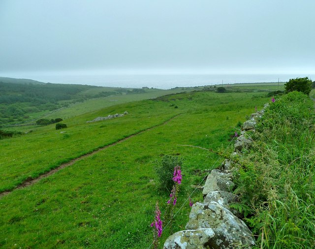
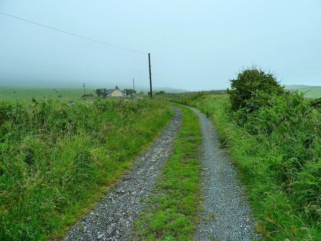
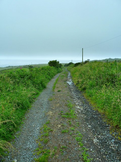
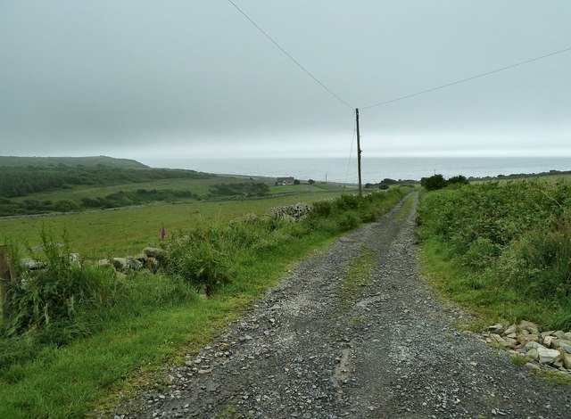
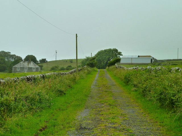
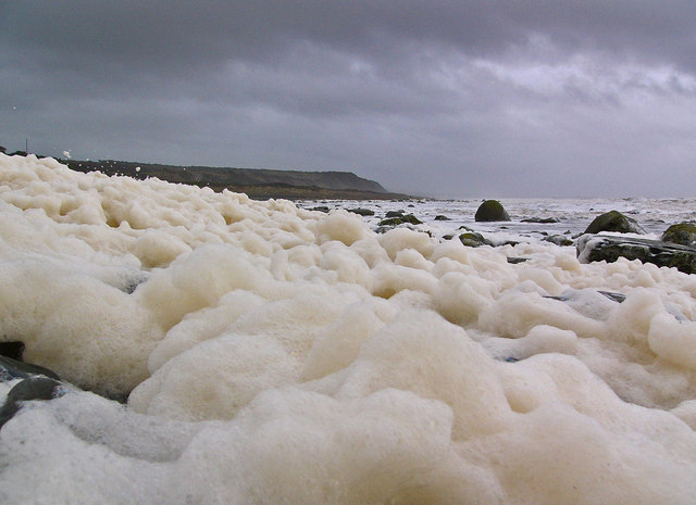
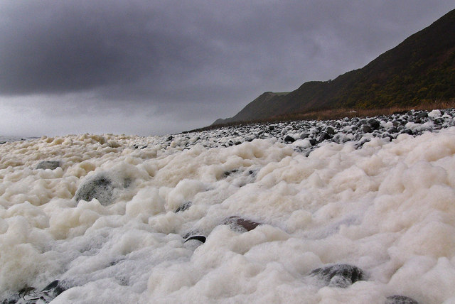
Airyolland Heugh is a prominent cliff located in Wigtownshire, Scotland. Rising majestically above the coastline, it offers breathtaking views of the surrounding area and the Irish Sea. The cliff is characterized by its steep slope and rugged terrain, making it a popular destination for outdoor enthusiasts and nature lovers.

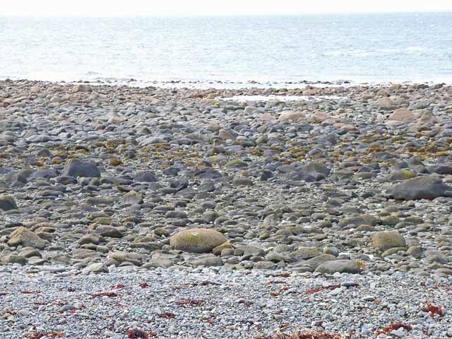
Standing at an impressive height of approximately 100 meters, Airyolland Heugh is composed of layers of sedimentary rock, displaying various geological formations. The cliff's distinctive features are a result of millions of years of erosion caused by wind and water, which have sculpted its shape and created its unique appearance.

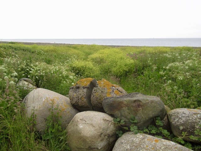
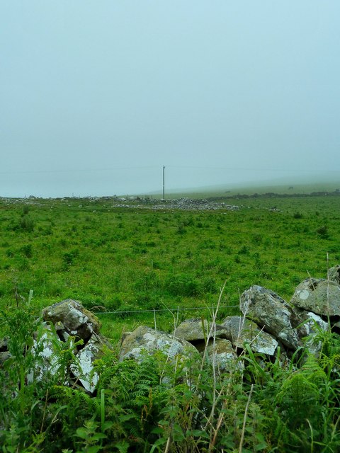
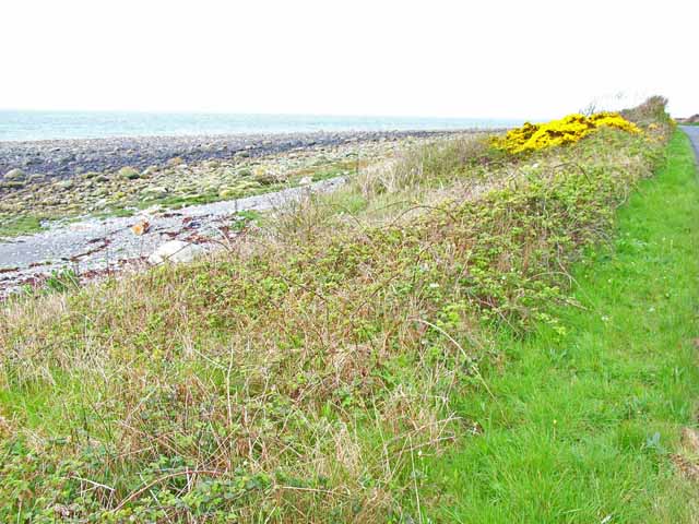
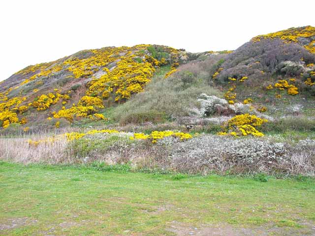
The cliff's location on the coast provides a habitat for a diverse range of flora and fauna, making it an important ecological site. Visitors to Airyolland Heugh can expect to encounter a variety of plant species, including heather, gorse, and wildflowers. The cliff is also home to several bird species, such as fulmars, kittiwakes, and razorbills, which nest in the rocky crevices.

Due to its dramatic setting and natural beauty, Airyolland Heugh attracts a significant number of tourists each year. Hikers and climbers are drawn to the challenge of scaling its slopes, while photographers and artists find inspiration in its stunning vistas. Additionally, the cliff offers a peaceful retreat for those seeking solitude and tranquility.

Visitors to Airyolland Heugh are advised to exercise caution when exploring the area, as the cliff's terrain can be steep and unstable. Proper footwear and adherence to safety guidelines are essential to ensure a safe and enjoyable visit.

If you have any feedback on the listing, please let us know in the comments section below.

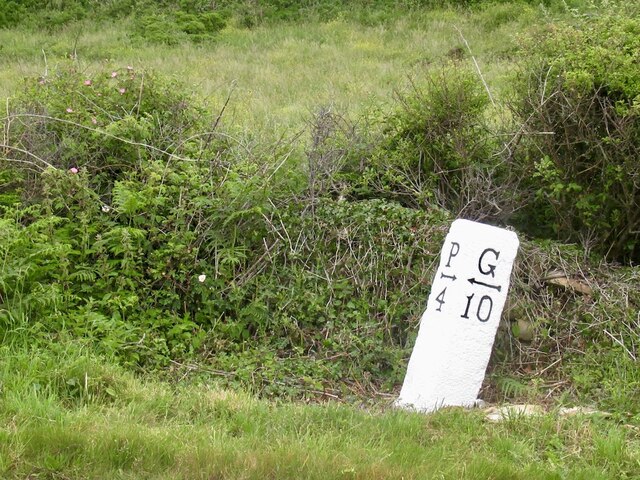
Airyolland Heugh Images

Images are sourced within 2km of 54.788872/-4.6367413 or Grid Reference NX3046. Thanks to Geograph Open Source API. All images are credited.

Milestone, Changue P -> Port William, G -> Glenluce
Milestone, Changue
P -> Port William, G -> Glenluce
A747, Changue
A747, Changue
Links, Changue A narrow stony coastal plain. The rocks are part of the war on parking, thankfully far less common here in Galloway than in many parts of the Highlands.
Links, Changue
A narrow stony coastal plain. The rocks are part of the war on parking, thankfully far less common here in Galloway than in many parts of the Highlands.
Beach, Chippermore Part of a long stony beach with the Scares on the horizon.
Beach, Chippermore
Part of a long stony beach with the Scares on the horizon.
Chippermore Heugh The long steep bank north of Port William. Usually it is cloaked in very dense vegetation.
Chippermore Heugh
The long steep bank north of Port William. Usually it is cloaked in very dense vegetation.
Old milestone More work by a Milestone Society member to clear vegetation and repaint this milestone.   Unfortunately too difficult for one person to set it upright.   But it is very visible now.
Old milestone
More work by a Milestone Society member to clear vegetation and repaint this milestone. Unfortunately too difficult for one person to set it upright. But it is very visible now.
Old milestone Another milestone on what is probably an ancient raised beach with a lovely view of the gorse covered hillside near Changue.
Old milestone
Another milestone on what is probably an ancient raised beach with a lovely view of the gorse covered hillside near Changue.
Changue View towards Luce Bay from the track to Elrig House and Airylick Farm.
Changue
View towards Luce Bay from the track to Elrig House and Airylick Farm.
Changue Cottage This single track road leads past the dwelling to the left and over the moors and fell to Elrig House and Airylick Farm.
Changue Cottage
This single track road leads past the dwelling to the left and over the moors and fell to Elrig House and Airylick Farm.
Track to Changue Bridge This last part of the track from Airylick Farm over Changue Fell drops down here to Changue Bridge and the A747 coastal road.
Track to Changue Bridge
This last part of the track from Airylick Farm over Changue Fell drops down here to Changue Bridge and the A747 coastal road.
Remains of a Homestead A few stones by the telegraph post are all that is left of the homestead marked up on OS Mapping.
Remains of a Homestead
A few stones by the telegraph post are all that is left of the homestead marked up on OS Mapping.
Changue Looking down to track which runs to Changue Bridge and the A747 coastal road.
Changue
Looking down to track which runs to Changue Bridge and the A747 coastal road.
Changue Farm Track to the farm to the north of Changue Heughs.
Changue Farm
Track to the farm to the north of Changue Heughs.
Beach near Chippermore Port Alongside the A747 Glenluce to Port William road. The name "Port" appears at a number of places along this coast, and presumably refers to a small landing beach, or possibly even a small harbour, although all have gone now.
Beach near Chippermore Port
Alongside the A747 Glenluce to Port William road. The name "Port" appears at a number of places along this coast, and presumably refers to a small landing beach, or possibly even a small harbour, although all have gone now.
Changue Port Alongside the A747 Glenluce to Portwilliam road. The name "Port" appears at a number of places along this coast, and presumably refers to a small landing beach, or possibly even a small harbour, although all have gone now.
Changue Port
Alongside the A747 Glenluce to Portwilliam road. The name "Port" appears at a number of places along this coast, and presumably refers to a small landing beach, or possibly even a small harbour, although all have gone now.
Old sea cliff behind Changue Port The main road runs on a raised beach backed by these old sea cliffs, now infested with gorse.
Old sea cliff behind Changue Port
The main road runs on a raised beach backed by these old sea cliffs, now infested with gorse.
Foam near Changue Port After a day of gales and pounding surf, there was a deep carpet of foam blanketing the beach at the high water mark.
Foam near Changue Port
After a day of gales and pounding surf, there was a deep carpet of foam blanketing the beach at the high water mark.
Chippermore Heughs After a day of gales and pounding surf, there was a deep carpet of foam blanketing the beach at the high water mark. Chippermore Heughs is the line of hills running parallel to the shore on this stretch of the coast, part of a post glacial raised beach.
Chippermore Heughs
After a day of gales and pounding surf, there was a deep carpet of foam blanketing the beach at the high water mark. Chippermore Heughs is the line of hills running parallel to the shore on this stretch of the coast, part of a post glacial raised beach.
Show me another place!

Airyolland Heugh is located at Grid Ref: NX3046 (Lat: 54.788872, Lng: -4.6367413)

Unitary Authority: Dumfries and Galloway

Police Authority: Dumfries and Galloway

What 3 Words

///arming.cabs.joined. Near Whithorn, Dumfries & Galloway

Nearby Locations

Airyolland Heugh

Related Wikis

Elrig

Elrig (Scottish Gaelic: An Eileirg, meaning "the deer run") is a clachan or hamlet in the historical county of Wigtownshire in Dumfries and Galloway...

Machars

The Machars (Scottish Gaelic: Machair Ghallghaidhealaibh) is a peninsula in the historical county of Wigtownshire in Galloway in the south-west of Scotland...

Doon of May

The Doon of May is a conifer plantation associated with an Iron Age hill fort in Dumfries and Galloway, south-west Scotland. Located around 14 kilometres...

Port William, Dumfries and Galloway

Port William (Scottish Gaelic: Cill na Tràghad) is a fishing village in the parish of Mochrum in the historical county of Wigtownshire, Dumfries and Galloway...

Nearby Amenities

Located within 500m of 54.788872,-4.6367413
Source: PGS
Lat/Long: 54.7904402/-4.6437928
Source: PGS
Lat/Long: 54.7903103/-4.6435032
Source: PGS
Lat/Long: 54.7901/-4.6429667
Source: PGS
Lat/Long: 54.7899453/-4.6425805
Source: PGS
Lat/Long: 54.7898092/-4.6422908
Source: PGS
Lat/Long: 54.7896422/-4.6420119
Source: PGS
Lat/Long: 54.7894752/-4.6416363
Source: PGS
Lat/Long: 54.7893082/-4.6413789
Source: PGS
Lat/Long: 54.7891968/-4.6411106
Source: PGS
Lat/Long: 54.7890855/-4.6408746
Source: PGS
Lat/Long: 54.7889432/-4.6405849
Source: PGS
Lat/Long: 54.7886957/-4.6399305
Source: PGS
Lat/Long: 54.7885411/-4.6393511
Source: PGS
Lat/Long: 54.7883122/-4.6388469
Source: PGS
Lat/Long: 54.7880833/-4.6382353
Source: PGS
Lat/Long: 54.7878915/-4.6375379
Source: PGS
Lat/Long: 54.7877121/-4.6372053
Source: PGS
Lat/Long: 54.7873533/-4.6366153
Source: PGS
Lat/Long: 54.7872729/-4.6361968
Source: PGS
Lat/Long: 54.7871058/-4.6357248
Source: PGS
Lat/Long: 54.786877/-4.6352527
Source: PGS
Lat/Long: 54.7866233/-4.6347484
Source: PGS
Lat/Long: 54.7864686/-4.6344051
Source: PGS
Lat/Long: 54.7861841/-4.6338043
Source: PGS
Lat/Long: 54.7859737/-4.6333537
Source: PGS
Lat/Long: 54.7857943/-4.6329567
Source: PGS
Lat/Long: 54.7856025/-4.6325383
Source: PGS
Lat/Long: 54.7854479/-4.6320019
The data included in this document is from www.openstreetmap.org. The data is made available under ODbL.

Have you been to Airyolland Heugh?

Leave your review of Airyolland Heugh below (or comments, questions and feedback).