Allisdon Plantation
Wood, Forest in Cornwall
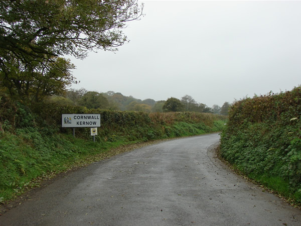
England
Allisdon Plantation
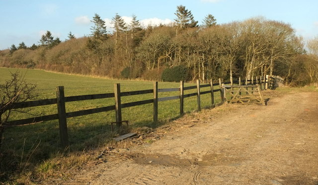
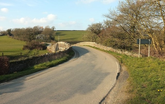
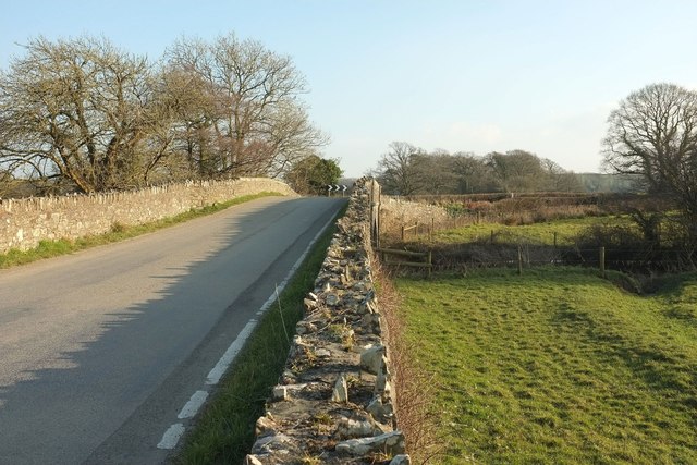
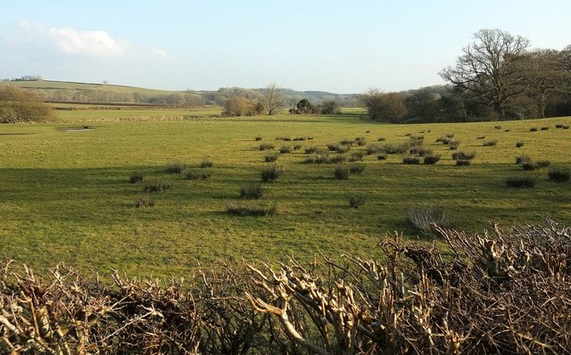
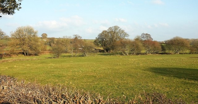
Allisdon Plantation, located in Cornwall, England, is a picturesque woodland area known for its natural beauty and diverse ecosystem. Spanning approximately 200 acres, this plantation is situated in a rural setting and offers visitors a tranquil escape from the bustling city life.
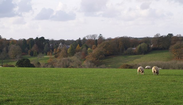
The woodland in Allisdon Plantation is predominantly composed of native tree species, including oak, beech, and ash trees. These towering trees create a dense canopy, providing shade and shelter for a wide range of wildlife. The forest floor is adorned with a variety of wildflowers, ferns, and mosses, adding to the enchanting atmosphere of the plantation.
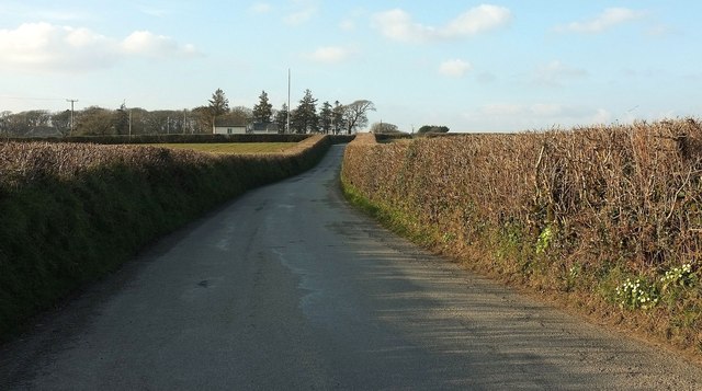
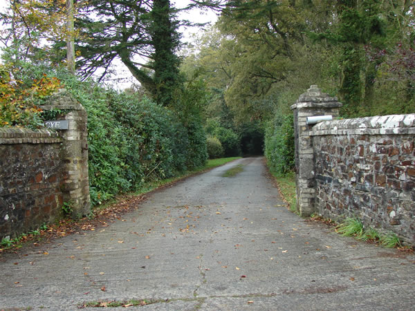
Several walking trails wind their way through the plantation, allowing visitors to explore its natural wonders at their own pace. These paths are well-maintained and provide access to different areas of the woodland, including a small stream and a picturesque pond. Nature enthusiasts can observe various bird species, such as woodpeckers and owls, as well as small mammals like squirrels and rabbits.
Allisdon Plantation is a popular destination for both locals and tourists seeking outdoor recreation. It offers opportunities for hiking, birdwatching, and photography, and also serves as an educational resource for schools and nature organizations. The plantation's management actively promotes environmental conservation and sustainable practices, ensuring the long-term preservation of this beautiful woodland.
Overall, Allisdon Plantation in Cornwall is a haven for nature lovers, providing a serene and captivating environment for visitors to connect with the natural world and experience the beauty of the British countryside.
If you have any feedback on the listing, please let us know in the comments section below.
Allisdon Plantation Images
Images are sourced within 2km of 50.752209/-4.4124023 or Grid Reference SX2997. Thanks to Geograph Open Source API. All images are credited.


Allisdon Plantation is located at Grid Ref: SX2997 (Lat: 50.752209, Lng: -4.4124023)
Unitary Authority: Cornwall
Police Authority: Devon and Cornwall
What 3 Words
///pioneered.modern.graphic. Near Boyton, Cornwall
Nearby Locations
Related Wikis
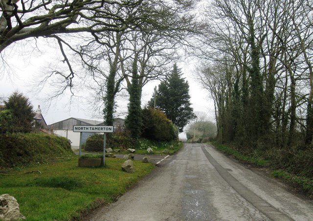
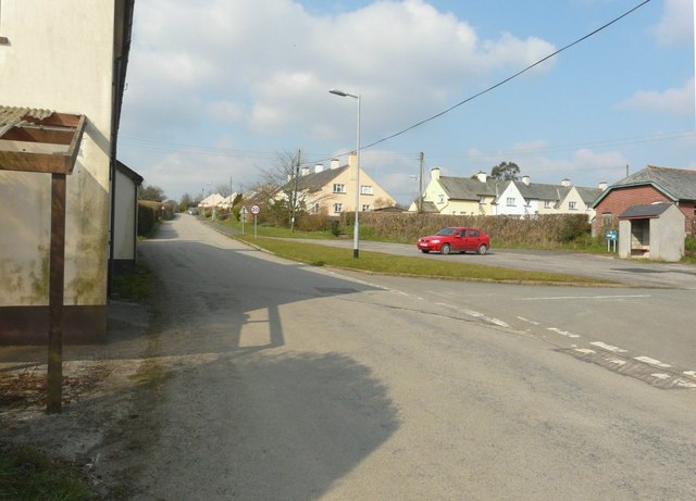
North Tamerton
North Tamerton (Cornish: Tre war Damer) is a village and civil parish in east Cornwall, England, UK. The village is situated approximately eight miles...

River Deer
The River Deer is river in Devon, a tributary of the River Tamar, joining it at North Tamerton. == Toponymy == The root of the name is uncertain, since...
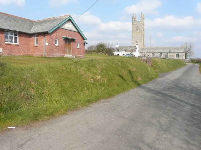
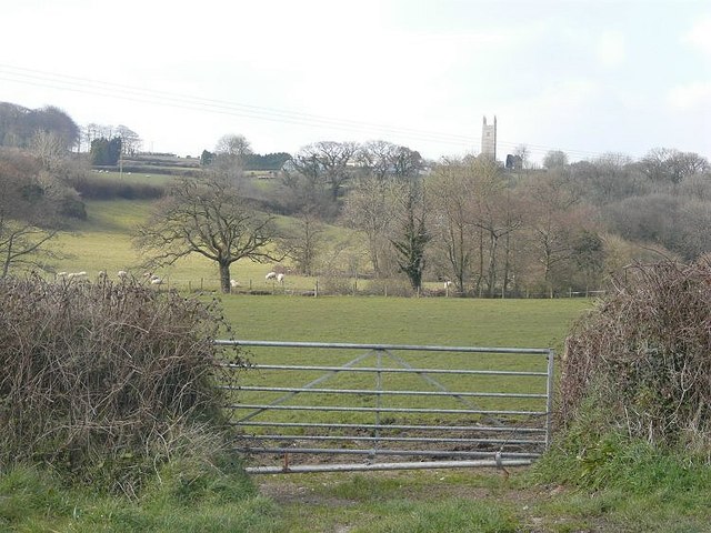
Whitstone
Whitstone (Cornish: Mengwynn) is a village and civil parish in east Cornwall, England, United Kingdom. It is roughly halfway between the towns of Bude...
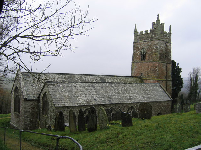
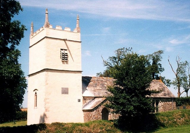
St Anne's Church, Whitstone
St Anne's Church, Whitstone is a Grade I listed parish church in the Church of England Diocese of Truro in Whitstone, Cornwall, England, UK. == History... ==
Tetcott
Tetcott is a civil parish, small settlement and former manor (once the home of the Arscotts of Tetcott) in Devon, England. The parish lies about five miles...

West Curry
West Curry (Cornish: Kori Veur) is a farm north of Bennacott in north Cornwall, England, UK.It appears in the Domesday Book (1086) as Chori, where in 1086...
Curry Lane
Curry Lane is a hamlet in the parish of Boyton Cornwall, England. == References ==
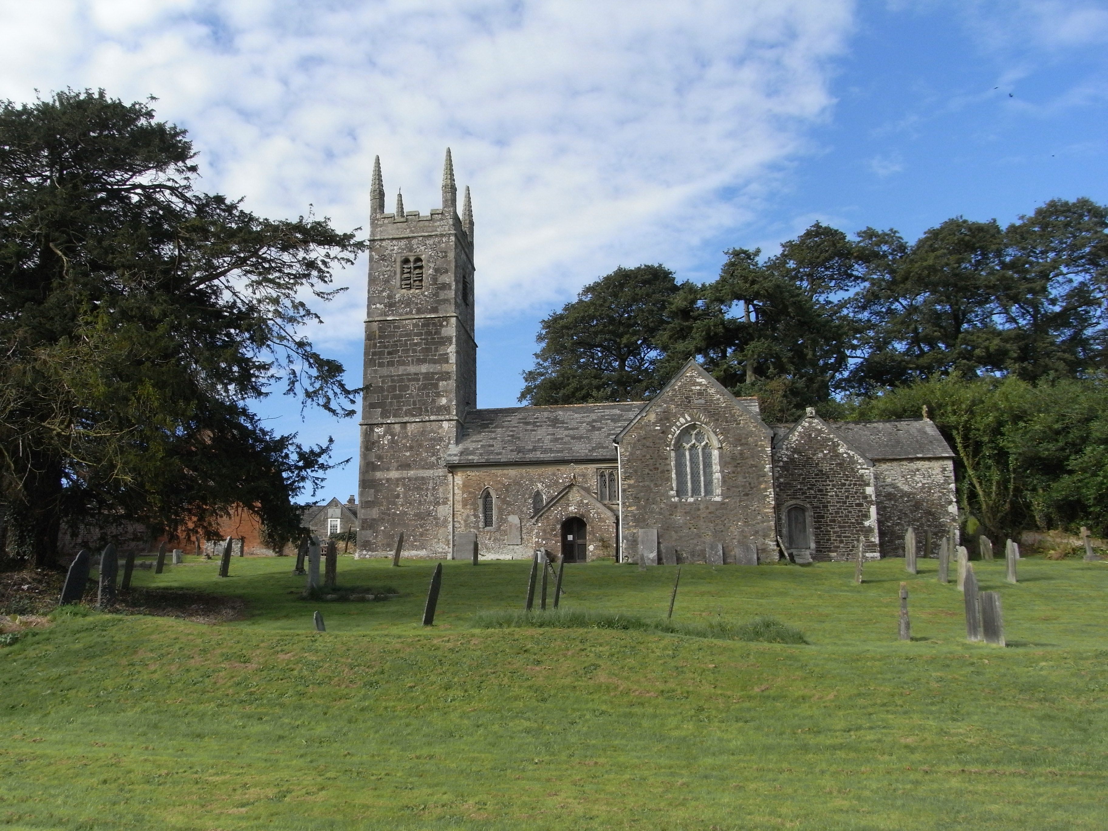
St James's Church, Luffincott
St James's Church in Luffincott, Devon, England was built in the 15th century. It is recorded in the National Heritage List for England as a designated...
Have you been to Allisdon Plantation?
Leave your review of Allisdon Plantation below (or comments, questions and feedback).