Peterspark Plantation

Wood, Forest in Cornwall

England

Peterspark Plantation

Entrance to North Tamerton
Entrance to North Tamerton Credit: Alex McGregor

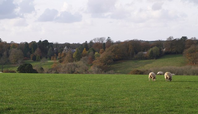
Peterspark Plantation, located in Cornwall, is a stunning wood and forest area that spans over a vast expanse of land. Known for its natural beauty and rich biodiversity, it is a popular destination for nature enthusiasts and outdoor lovers.

The plantation is characterized by its dense tree cover, consisting mainly of deciduous and evergreen species. Towering oak, beech, and maple trees dominate the landscape, creating a vibrant and lush canopy. The forest floor is carpeted with a variety of ferns, mosses, and wildflowers, adding to the enchanting atmosphere.

Tranquility and serenity are hallmarks of Peterspark Plantation, making it an ideal retreat for those seeking solace in nature. The area is home to numerous walking trails and pathways, allowing visitors to explore the plantation at their own pace. These trails wind through the woods, providing glimpses of hidden streams, small ponds, and occasional wildlife sightings.

Peterspark Plantation is not only a haven for nature lovers but also a valuable habitat for a diverse range of flora and fauna. The forest supports a thriving ecosystem, providing shelter and food to various animal species, including deer, squirrels, and a plethora of bird species. The plantation's conservation efforts have also allowed for the preservation of rare and endangered plant species.

Visitors to Peterspark Plantation can engage in a variety of activities, including hiking, birdwatching, and photography. The plantation also offers educational programs and guided tours, aimed at promoting environmental awareness and appreciation for the natural world.

In conclusion, Peterspark Plantation in Cornwall is a breathtaking wood and forest area, offering a peaceful escape into nature's embrace. Its scenic beauty, diverse flora and fauna, and commitment to conservation make it a must-visit destination for anyone seeking a connection with the natural world.

If you have any feedback on the listing, please let us know in the comments section below.

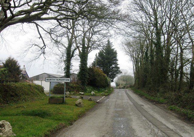
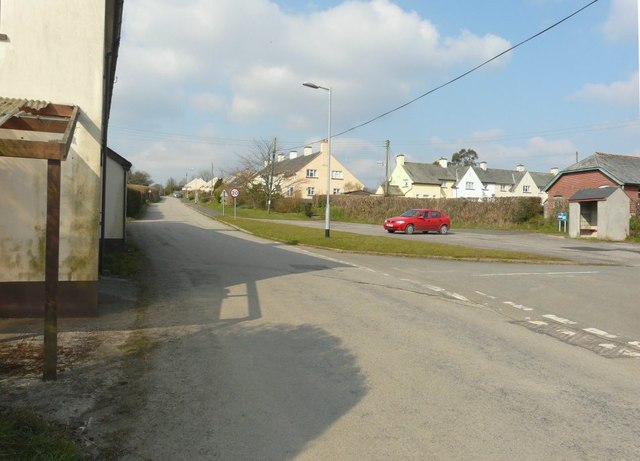
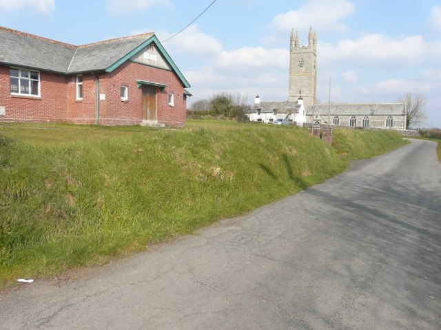
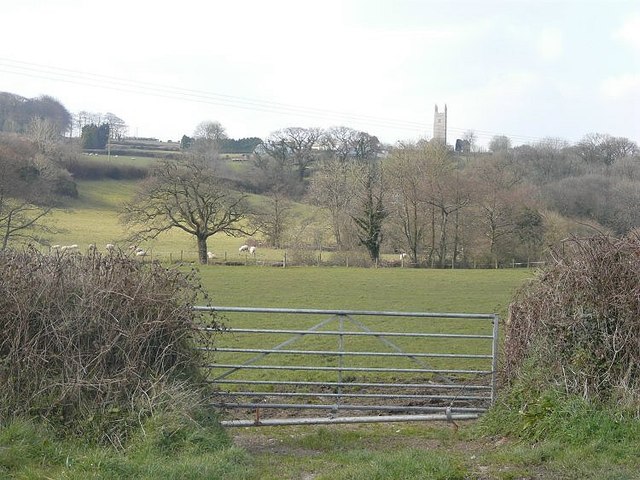
Peterspark Plantation Images

Images are sourced within 2km of 50.751777/-4.4176259 or Grid Reference SX2997. Thanks to Geograph Open Source API. All images are credited.

Entrance to North Tamerton
Looking west along the road through North Tamerton
Looking north to the church of St Denis With Victoria Hall on the left.
Looking north to the church of St Denis
With Victoria Hall on the left.
The tower of St Denis' church Seen across the flood-plain of the River Tamar from a lane to the east.
The tower of St Denis' church
Seen across the flood-plain of the River Tamar from a lane to the east.
Ogbeare Hall A distant glimpse of the mansion, part C15 but substantially rebuilt in the C19, from the lane between Hornacott Farm and North Tamerton. The house is on the north side of a steep little valley, part of which forms some of its grounds, and which drains into the Tamar.
Ogbeare Hall
A distant glimpse of the mansion, part C15 but substantially rebuilt in the C19, from the lane between Hornacott Farm and North Tamerton. The house is on the north side of a steep little valley, part of which forms some of its grounds, and which drains into the Tamar.
North Tamerton Methodist Church The church has two dates; a plaque on the porch reads "United Methodist Church 1869", while the one on the façade gives "Methodist Church 1932", so presumably one is the original building and the other a date of rebuilding or restoration. This is on the western outskirts of North Tamerton on the road to Wilsworthy Cross.
North Tamerton Methodist Church
The church has two dates; a plaque on the porch reads "United Methodist Church 1869", while the one on the façade gives "Methodist Church 1932", so presumably one is the original building and the other a date of rebuilding or restoration. This is on the western outskirts of North Tamerton on the road to Wilsworthy Cross.
Row of trees near Tamerton Town Looking up hill in the general direction of Semersdon Farm. This is in fact a blocked-off farm track.
Row of trees near Tamerton Town
Looking up hill in the general direction of Semersdon Farm. This is in fact a blocked-off farm track.
End of the track Only suitable for tractors and 4x4's!
End of the track
Only suitable for tractors and 4x4's!
North Tamerton church.
Remnants of a long-abandoned canal. Clearly marked on the map as a "dry" canal, all that's left of part of the old Bude canal which was constructed from Bude to near Launceston. 
Further info at <span class="nowrap"><a title="http://www.bude-canal.co.uk" rel="nofollow ugc noopener" href="http://www.bude-canal.co.uk">Link</a><img style="margin-left:2px;" alt="External link" title="External link - shift click to open in new window" src="https://s1.geograph.org.uk/img/external.png" width="10" height="10"/></span>
Remnants of a long-abandoned canal.
Clearly marked on the map as a "dry" canal, all that's left of part of the old Bude canal which was constructed from Bude to near Launceston. Further info at LinkExternal link
Valley northwest of Wilsworthy Looking down an amphitheatre in the northeast quarter of the square, created by a tributary (and its headwaters) of the Tamar. Trees line the watercourses, which move out of square northwards and eastwards; the large farm right of centre, for instance, is East Balsdon in SX2898. The view is from the end of a stretch of woodland running beside the lane from Wilsworthy Cross to North Tamerton.
Valley northwest of Wilsworthy
Looking down an amphitheatre in the northeast quarter of the square, created by a tributary (and its headwaters) of the Tamar. Trees line the watercourses, which move out of square northwards and eastwards; the large farm right of centre, for instance, is East Balsdon in SX2898. The view is from the end of a stretch of woodland running beside the lane from Wilsworthy Cross to North Tamerton.
Field at Lower Trebarrow Afternoon sunshine on sheep grazing in this L-shaped field beside the lane from Wilsworthy Cross to North Tamerton. A small patch of woodland juts out on the left. The land is gently sloping away from the camera towards an eastern headwater of the amphitheatre shown in <a href="https://www.geograph.org.uk/photo/608562">SX2796 : Valley northwest of Wilsworthy</a>.
Field at Lower Trebarrow
Afternoon sunshine on sheep grazing in this L-shaped field beside the lane from Wilsworthy Cross to North Tamerton. A small patch of woodland juts out on the left. The land is gently sloping away from the camera towards an eastern headwater of the amphitheatre shown in SX2796 : Valley northwest of Wilsworthy.
Ogbeare plantations from the north A view right across the square from the lane from Wilsworthy Cross to North Tamerton, which runs along its northern edge. Hidden are two valleys which join to run left towards the Tamar. Beyond them, the appropriately-named Strip Plantation runs across to meet Ogbeare Plantation on the left.
Ogbeare plantations from the north
A view right across the square from the lane from Wilsworthy Cross to North Tamerton, which runs along its northern edge. Hidden are two valleys which join to run left towards the Tamar. Beyond them, the appropriately-named Strip Plantation runs across to meet Ogbeare Plantation on the left.
Field near Old Shop An elongated field - 30 metres across, 260 metres long - beside the lane from Wilsworthy Cross to North Tamerton, at its junction with the farm track to Blagdon Manor Farm.
Field near Old Shop
An elongated field - 30 metres across, 260 metres long - beside the lane from Wilsworthy Cross to North Tamerton, at its junction with the farm track to Blagdon Manor Farm.
Pylon near East Balsdon The pylon line runs up this valley of a tributary of the Tamar. Seen from the lane south of Crowford Bridge.
Pylon near East Balsdon
The pylon line runs up this valley of a tributary of the Tamar. Seen from the lane south of Crowford Bridge.
East Balsdon Farm A farm on the eastern edge of Cornwall overlooking the upper Tamar valley
East Balsdon Farm
A farm on the eastern edge of Cornwall overlooking the upper Tamar valley
Maize crop, near Trebarrow
Track to Haydon Farm, North Tamerton
Show me another place!

Peterspark Plantation is located at Grid Ref: SX2997 (Lat: 50.751777, Lng: -4.4176259)

Unitary Authority: Cornwall

Police Authority: Devon and Cornwall

What 3 Words

///overjoyed.scarcely.megawatt. Near Boyton, Cornwall

Related Wikis

North Tamerton

North Tamerton (Cornish: Tre war Damer) is a village and civil parish in east Cornwall, England, UK. The village is situated approximately eight miles...

River Deer

The River Deer is river in Devon, a tributary of the River Tamar, joining it at North Tamerton. == Toponymy == The root of the name is uncertain, since...

Whitstone

Whitstone (Cornish: Mengwynn) is a village and civil parish in east Cornwall, England, United Kingdom. It is roughly halfway between the towns of Bude...

St Anne's Church, Whitstone

St Anne's Church, Whitstone is a Grade I listed parish church in the Church of England Diocese of Truro in Whitstone, Cornwall, England, UK. == History... ==

Nearby Amenities

Located within 500m of 50.751777,-4.4176259
The data included in this document is from www.openstreetmap.org. The data is made available under ODbL.

Have you been to Peterspark Plantation?

Leave your review of Peterspark Plantation below (or comments, questions and feedback).