Paul's Plantation

Wood, Forest in Cornwall

England

Paul's Plantation

Ford at Penheale This ford on the River Ottery is found at Penheale.
Ford at Penheale Credit: John Walton

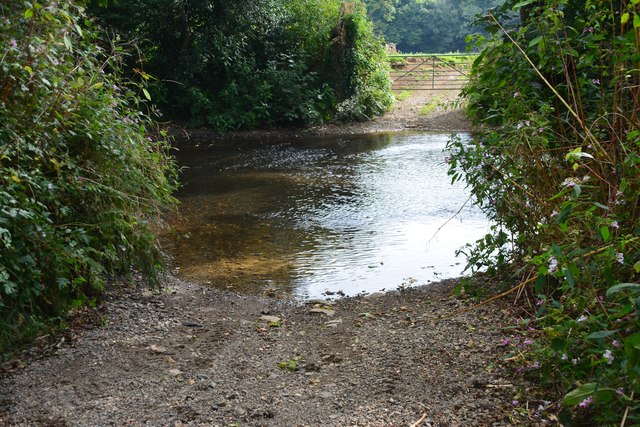
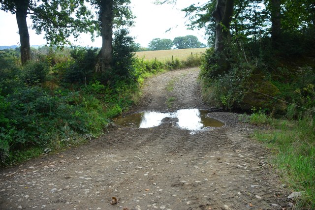
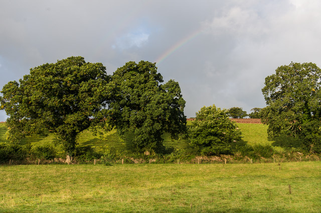
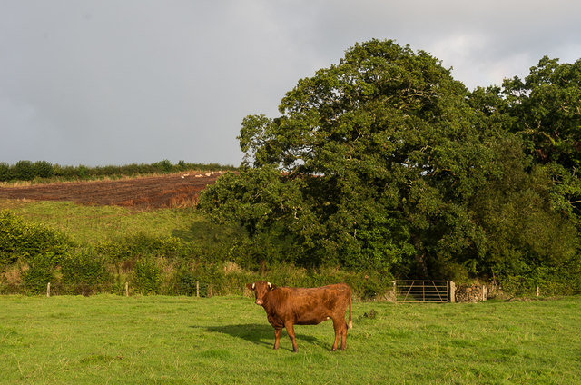
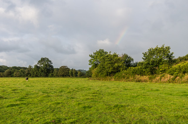
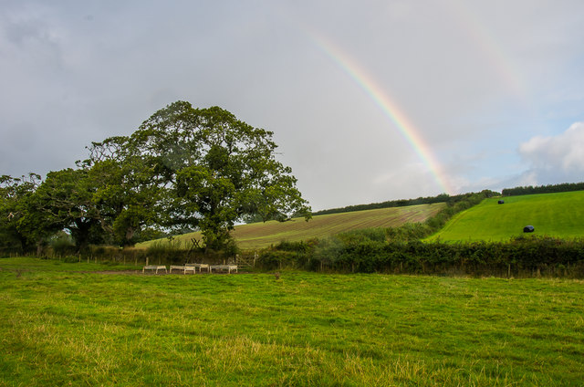
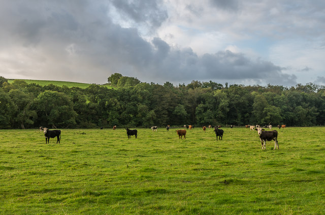
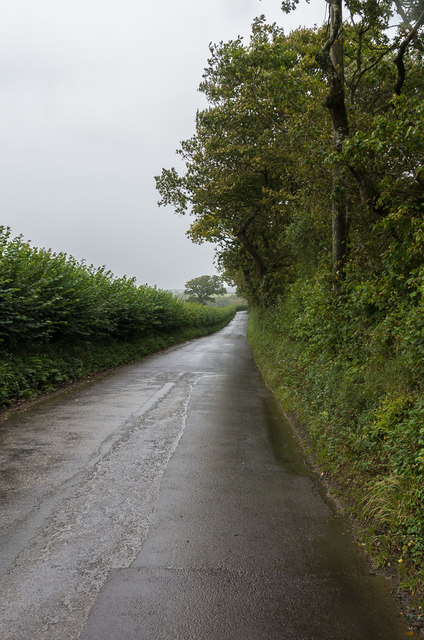
Paul's Plantation is a picturesque woodland located in Cornwall, England. Covering an area of approximately 100 acres, this stunning plantation is a haven for nature enthusiasts and outdoor lovers alike. Nestled amidst the rolling hills and lush countryside, it offers a tranquil and serene escape from the hustle and bustle of everyday life.

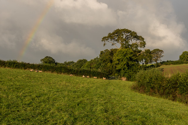
The plantation is primarily composed of a diverse range of trees, including oak, beech, and birch, which create a vibrant and colorful display throughout the year. The dense canopy provides a sheltered habitat for a variety of wildlife, making it an ideal spot for birdwatching and wildlife spotting. Visitors can expect to see an array of species, including woodpeckers, squirrels, and deer.

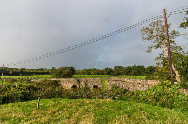
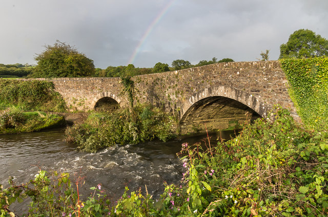
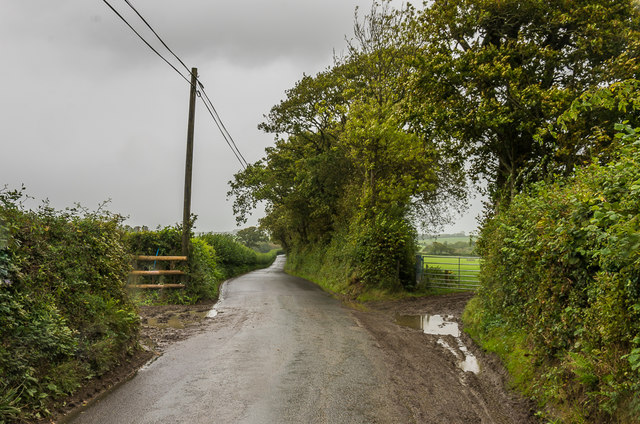
A network of well-maintained trails winds through the plantation, offering visitors the opportunity to explore its natural beauty on foot or by bike. These trails provide access to the plantation's hidden gems, such as secluded ponds and bubbling streams, adding to the enchanting atmosphere. Additionally, there are several picnic areas dotted throughout the woodland, perfect for enjoying a packed lunch while immersing oneself in the peaceful surroundings.

Paul's Plantation is open to the public year-round, with no entry fee. It is recommended to visit during the spring and summer months when the woodland is in full bloom, showcasing a breathtaking display of wildflowers and vibrant foliage. Whether it's a leisurely stroll, a family picnic, or a wildlife adventure, Paul's Plantation offers a memorable experience for all nature enthusiasts seeking solace in Cornwall's natural beauty.

If you have any feedback on the listing, please let us know in the comments section below.

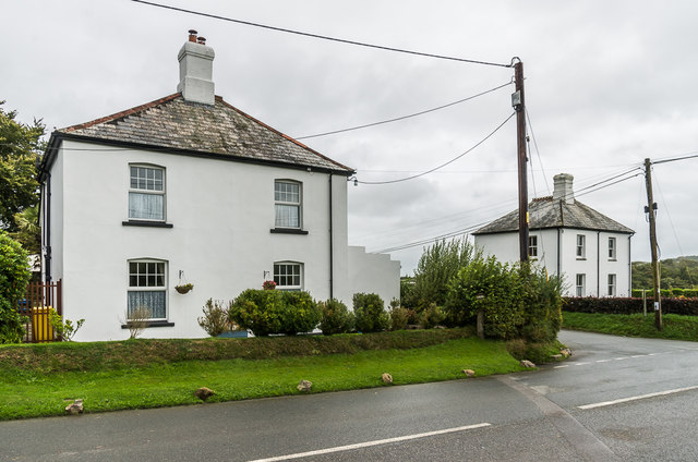
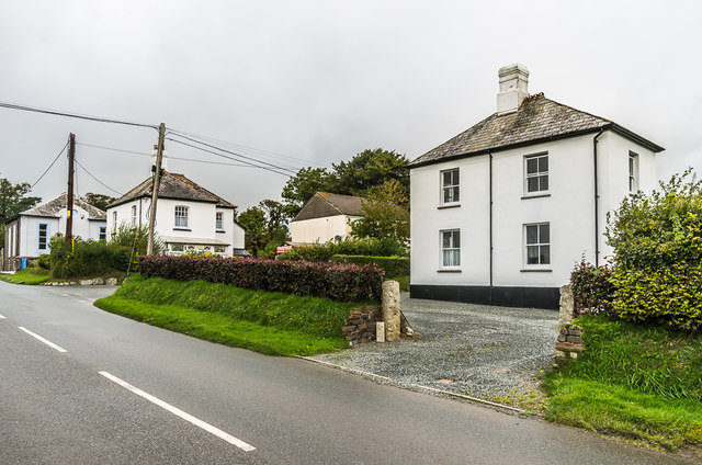
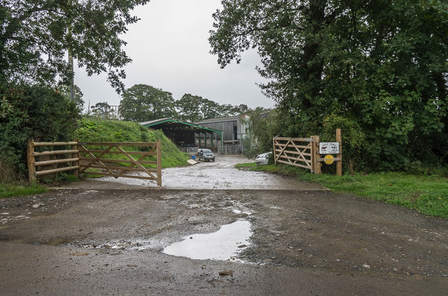
Paul's Plantation Images

Images are sourced within 2km of 50.659445/-4.4347125 or Grid Reference SX2887. Thanks to Geograph Open Source API. All images are credited.

Ford at Penheale This ford on the River Ottery is found at Penheale.
Ford at Penheale
This ford on the River Ottery is found at Penheale.
Ford at Coombekeale This ford is found beyond the wood yard at Coombekeale.
Ford at Coombekeale
This ford is found beyond the wood yard at Coombekeale.
Gate and rainbow A rainbow above a gate onto a track on Waterloo Farm.
Gate and rainbow
A rainbow above a gate onto a track on Waterloo Farm.
Sheep and rainbow Sheep in a field on Waterloo Farm, with a rainbow in the sky above.
Sheep and rainbow
Sheep in a field on Waterloo Farm, with a rainbow in the sky above.
Live and dead trees Trees on the edge of a field alongside Bolsbridge Water on Waterloo Farm.
Live and dead trees
Trees on the edge of a field alongside Bolsbridge Water on Waterloo Farm.
Field edge trees Trees on the edge of a field alongside Bolsbridge Water on Waterloo Farm, with a rainbow in the sky above.
Field edge trees
Trees on the edge of a field alongside Bolsbridge Water on Waterloo Farm, with a rainbow in the sky above.
Field by River Ottery A bullock in a field alongside the River Ottery, on Waterloo Farm.
Field by River Ottery
A bullock in a field alongside the River Ottery, on Waterloo Farm.
Field by River Ottery Looking along a field alongside the River Ottery, on Waterloo Farm, with a faint rainbow in the sky above.
Field by River Ottery
Looking along a field alongside the River Ottery, on Waterloo Farm, with a faint rainbow in the sky above.
Field by River Ottery A field alongside the River Ottery, on Waterloo Farm, with a rainbow in the sky above.
Field by River Ottery
A field alongside the River Ottery, on Waterloo Farm, with a rainbow in the sky above.
Field by River Ottery A herd of bullocks in a field alongside the River Ottery, on Waterloo Farm.  The river itself runs by the trees in the background.
Field by River Ottery
A herd of bullocks in a field alongside the River Ottery, on Waterloo Farm. The river itself runs by the trees in the background.
Hellescott Bridge Late 18th Century bridge over the River Ottery, widened in the 19th Century.  Grade II listed - see <span class="nowrap"><a title="www.historicengland.org.uk/listing/the-list/list-entry/1142928" rel="nofollow ugc noopener" href="http://www.historicengland.org.uk/listing/the-list/list-entry/1142928">Link</a><img style="margin-left:2px;" alt="External link" title="External link - shift click to open in new window" src="https://s1.geograph.org.uk/img/external.png" width="10" height="10"/></span>.  A rainbow is in the sky in the background.
Hellescott Bridge
Late 18th Century bridge over the River Ottery, widened in the 19th Century. Grade II listed - see LinkExternal link. A rainbow is in the sky in the background.
Egloskerry Methodist Church Mid 19th Century former Methodist Chapel, now converted to housing.  Grade II listed - see <span class="nowrap"><a title="www.historicengland.org.uk/listing/the-list/list-entry/1160078" rel="nofollow ugc noopener" href="http://www.historicengland.org.uk/listing/the-list/list-entry/1160078">Link</a><img style="margin-left:2px;" alt="External link" title="External link - shift click to open in new window" src="https://s1.geograph.org.uk/img/external.png" width="10" height="10"/></span>.
Egloskerry Methodist Church
Mid 19th Century former Methodist Chapel, now converted to housing. Grade II listed - see LinkExternal link.
Endslea House and Trent Villa Matching pair of houses either side to the lane linking Egloskerry and Petherwin.  Old maps suggest that the lane only dates from around the turn of the 19th/20th Centuries, with the houses built around the same time.
Endslea House and Trent Villa
Matching pair of houses either side to the lane linking Egloskerry and Petherwin. Old maps suggest that the lane only dates from around the turn of the 19th/20th Centuries, with the houses built around the same time.
Trent Villa One of a matching pair of houses either side of the lane linking Egloskerry and Petherwin - the other, Endslea House, can be seen beyond.  For closer view of the pair see <a href="https://www.geograph.org.uk/photo/5595120">SX2786 : Endslea House and Trent Villa</a>.  Old maps suggest that the lane only dates from around the turn of the 19th/20th Centuries, with the houses built around the same time.  In the background can be seen Egloskerry Methodist Church - see <a href="https://www.geograph.org.uk/photo/5595116">SX2786 : Egloskerry Methodist Church</a>.
Trent Villa
One of a matching pair of houses either side of the lane linking Egloskerry and Petherwin - the other, Endslea House, can be seen beyond. For closer view of the pair see SX2786 : Endslea House and Trent Villa. Old maps suggest that the lane only dates from around the turn of the 19th/20th Centuries, with the houses built around the same time. In the background can be seen Egloskerry Methodist Church - see SX2786 : Egloskerry Methodist Church.
Hole Farm Dairy farm near Egloskerry.  The development of this part of the farm is recent, not appearing on the 1983-93 1:10,000 map, the original farm being slightly further south.
Hole Farm
Dairy farm near Egloskerry. The development of this part of the farm is recent, not appearing on the 1983-93 1:10,000 map, the original farm being slightly further south.
Lane north of Egloskerry Lane connecting Egloskerry and North Petherwin.  Old maps suggest that the lane only dates from around the turn of the 19th/20th Centuries.
Lane north of Egloskerry
Lane connecting Egloskerry and North Petherwin. Old maps suggest that the lane only dates from around the turn of the 19th/20th Centuries.
Show me another place!

Paul's Plantation is located at Grid Ref: SX2887 (Lat: 50.659445, Lng: -4.4347125)

Unitary Authority: Cornwall

Police Authority: Devon and Cornwall

What 3 Words

///dressings.fevered.boils. Near Werrington, Cornwall

Related Wikis

Badharlick

Badharlick (Cornish: Bos Harlek, meaning Harlek's dwelling) is a hamlet in the parish of Egloskerry, Cornwall, England, United Kingdom, situated halfway...

Egloskerry

Egloskerry (Cornish: Egloskeri) is a village and civil parish in east Cornwall, England, United Kingdom. It is situated approximately five miles (8.0 km...

Penheale Manor

Penheale Manor is a Grade I listed manor house and historic building one mile north of Egloskerry, Cornwall. == History == The manor was mentioned as...

Langore

Langore (Cornish: Nansgover) is a village in Cornwall, England. It is in the parish of St Stephens by Launceston Rural (where the population of the 2011...

Have you been to Paul's Plantation?

Leave your review of Paul's Plantation below (or comments, questions and feedback).