Athill Wood

Wood, Forest in Cornwall

England

Athill Wood

Launceston Steam Railway - New Mills Station The current terminus of this 2' gauge narrow gauge railway. This provides access to New Mills Farm Park but this is a separate venture requiring separate payment.
Launceston Steam Railway - New Mills Station Credit: Chris Allen

The requested URL returned error: 429 Too Many Requests

If you have any feedback on the listing, please let us know in the comments section below.
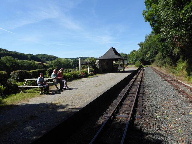
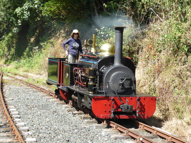
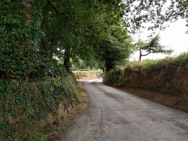
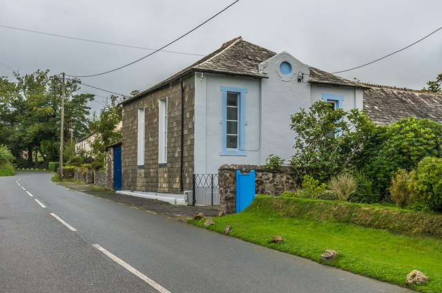
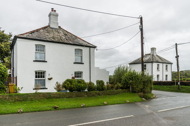
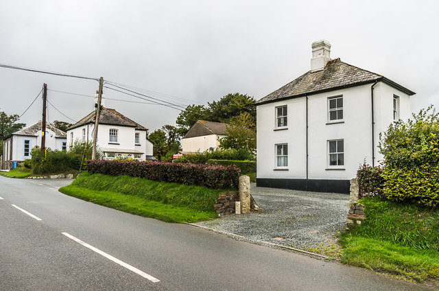
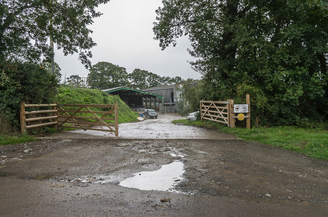
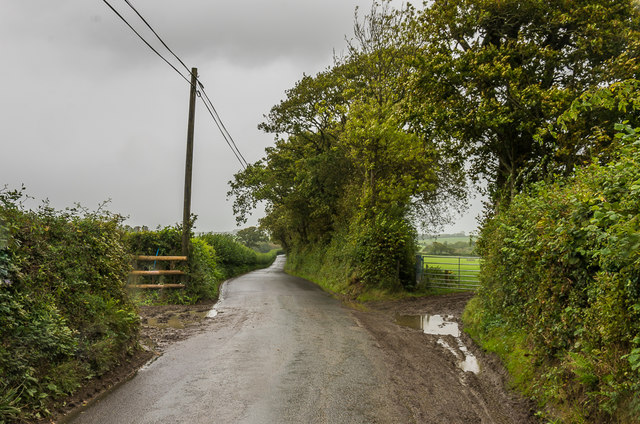
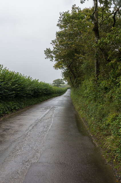
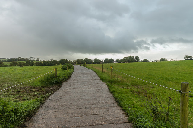
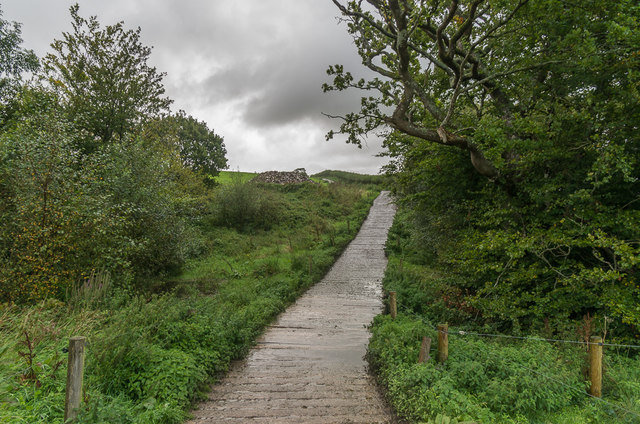
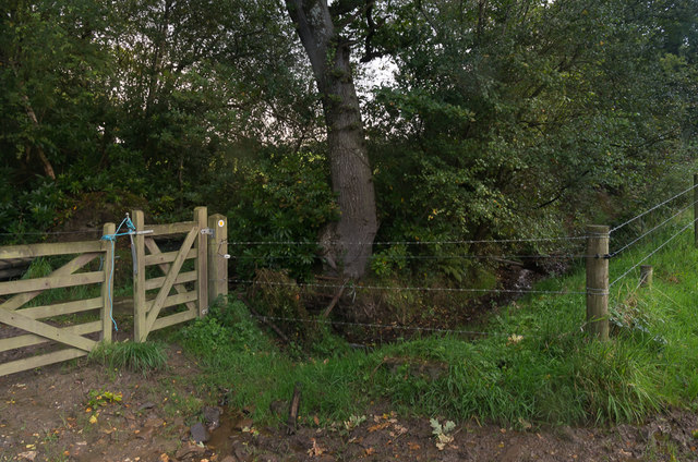
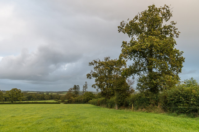
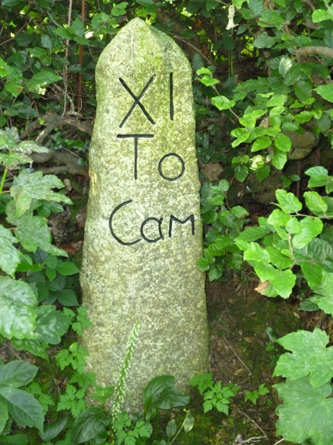
Athill Wood Images

Images are sourced within 2km of 50.643411/-4.4336995 or Grid Reference SX2885. Thanks to Geograph Open Source API. All images are credited.

Launceston Steam Railway - New Mills Station The current terminus of this 2' gauge narrow gauge railway. This provides access to New Mills Farm Park but this is a separate venture requiring separate payment.
Launceston Steam Railway - New Mills Station
The current terminus of this 2' gauge narrow gauge railway. This provides access to New Mills Farm Park but this is a separate venture requiring separate payment.
Launceston Steam Railway - Lilian The locomotive is running round the train ready for the return to Launceston. Lilian was built by the Hunslet Engine Company of Leeds as No. 317 of 1887. It can't have been much fun working a locomotive with no cab in a Welsh quarry in winter.
Launceston Steam Railway - Lilian
The locomotive is running round the train ready for the return to Launceston. Lilian was built by the Hunslet Engine Company of Leeds as No. 317 of 1887. It can't have been much fun working a locomotive with no cab in a Welsh quarry in winter.
Under Lane, heading for Launceston
Egloskerry Methodist Church Mid 19th Century former Methodist Chapel, now converted to housing.  Grade II listed - see <span class="nowrap"><a title="www.historicengland.org.uk/listing/the-list/list-entry/1160078" rel="nofollow ugc noopener" href="http://www.historicengland.org.uk/listing/the-list/list-entry/1160078">Link</a><img style="margin-left:2px;" alt="External link" title="External link - shift click to open in new window" src="https://s1.geograph.org.uk/img/external.png" width="10" height="10"/></span>.
Egloskerry Methodist Church
Mid 19th Century former Methodist Chapel, now converted to housing. Grade II listed - see LinkExternal link.
Endslea House and Trent Villa Matching pair of houses either side to the lane linking Egloskerry and Petherwin.  Old maps suggest that the lane only dates from around the turn of the 19th/20th Centuries, with the houses built around the same time.
Endslea House and Trent Villa
Matching pair of houses either side to the lane linking Egloskerry and Petherwin. Old maps suggest that the lane only dates from around the turn of the 19th/20th Centuries, with the houses built around the same time.
Trent Villa One of a matching pair of houses either side of the lane linking Egloskerry and Petherwin - the other, Endslea House, can be seen beyond.  For closer view of the pair see <a href="https://www.geograph.org.uk/photo/5595120">SX2786 : Endslea House and Trent Villa</a>.  Old maps suggest that the lane only dates from around the turn of the 19th/20th Centuries, with the houses built around the same time.  In the background can be seen Egloskerry Methodist Church - see <a href="https://www.geograph.org.uk/photo/5595116">SX2786 : Egloskerry Methodist Church</a>.
Trent Villa
One of a matching pair of houses either side of the lane linking Egloskerry and Petherwin - the other, Endslea House, can be seen beyond. For closer view of the pair see SX2786 : Endslea House and Trent Villa. Old maps suggest that the lane only dates from around the turn of the 19th/20th Centuries, with the houses built around the same time. In the background can be seen Egloskerry Methodist Church - see SX2786 : Egloskerry Methodist Church.
Hole Farm Dairy farm near Egloskerry.  The development of this part of the farm is recent, not appearing on the 1983-93 1:10,000 map, the original farm being slightly further south.
Hole Farm
Dairy farm near Egloskerry. The development of this part of the farm is recent, not appearing on the 1983-93 1:10,000 map, the original farm being slightly further south.
Lane north of Egloskerry Lane connecting Egloskerry and North Petherwin.  Old maps suggest that the lane only dates from around the turn of the 19th/20th Centuries.
Lane north of Egloskerry
Lane connecting Egloskerry and North Petherwin. Old maps suggest that the lane only dates from around the turn of the 19th/20th Centuries.
Lane north of Egloskerry Lane connecting Egloskerry and North Petherwin.  Old maps suggest that the lane only dates from around the turn of the 19th/20th Centuries.

Post script - I was kindly contacted by William Werren who said that the lane was locally known as 'new road' built to connect North Petherwin with the new railway station at Egloskerry.  This was opened in 1892, which is consistent with when the lane was first shown on maps.
Lane north of Egloskerry
Lane connecting Egloskerry and North Petherwin. Old maps suggest that the lane only dates from around the turn of the 19th/20th Centuries. Post script - I was kindly contacted by William Werren who said that the lane was locally known as 'new road' built to connect North Petherwin with the new railway station at Egloskerry. This was opened in 1892, which is consistent with when the lane was first shown on maps.
Towards Egloskerry Concrete track across pastureland north of Egloskerry.
Towards Egloskerry
Concrete track across pastureland north of Egloskerry.
Track over stream Concrete track crossing a small unnamed stream north of Egloskerry.
Track over stream
Concrete track crossing a small unnamed stream north of Egloskerry.
Boardwalk Boardwalk carrying a footpath across a wet field corner.
Boardwalk
Boardwalk carrying a footpath across a wet field corner.
Gate by stream A gate by a small stream north of Egloskerry.
Gate by stream
A gate by a small stream north of Egloskerry.
Towards Egloskerry A field north of Egloskerry, some buildings in which can be seen on the skyline, beyond the large dairy herd.
Towards Egloskerry
A field north of Egloskerry, some buildings in which can be seen on the skyline, beyond the large dairy herd.
Field edge Field edge north of Egloskerry.  Old maps show a field this field to have been split in two at this point, suggesting that the granite post in the centre of the photo is a former gatepost.  For closer view see <a href="https://www.geograph.org.uk/photo/5609306">SX2787 : Field edge</a>.
Field edge
Field edge north of Egloskerry. Old maps show a field this field to have been split in two at this point, suggesting that the granite post in the centre of the photo is a former gatepost. For closer view see SX2787 : Field edge.
Field edge Field edge north of Egloskerry.  Old maps show a field this field to have been split in two at this point, suggesting that the granite post on the right of the photo is a former gatepost.
Field edge
Field edge north of Egloskerry. Old maps show a field this field to have been split in two at this point, suggesting that the granite post on the right of the photo is a former gatepost.
Old Milestone east of Badharlick Carved stone post by the UC road, in parish of EGLOSKERRY (CARADON District), above Badharlick Mill, on top of hedge bank, on South side of road. Rough granite, erected by the parish in the 21st century. 

Inscription reads:-
XI
To
Cam   

Milestone Society National ID: CW_LACF06R
Old Milestone east of Badharlick
Carved stone post by the UC road, in parish of EGLOSKERRY (CARADON District), above Badharlick Mill, on top of hedge bank, on South side of road. Rough granite, erected by the parish in the 21st century. Inscription reads:- XI To Cam Milestone Society National ID: CW_LACF06R
Show me another place!

Athill Wood is located at Grid Ref: SX2885 (Lat: 50.643411, Lng: -4.4336995)

Unitary Authority: Cornwall

Police Authority: Devon and Cornwall

What 3 Words

///trickles.outgoing.spaceship. Near Trewen, Cornwall

Nearby Locations

Athill Wood

Related Wikis

Hidden Valley Discovery Park

Hidden Valley Discovery Park is a family-run visitor attraction near the town of Launceston, Cornwall, England, UK. Founded in 1994 by Pete Jones, as a...

Badharlick

Badharlick (Cornish: Bos Harlek, meaning Harlek's dwelling) is a hamlet in the parish of Egloskerry, Cornwall, England, United Kingdom, situated halfway...

Egloskerry

Egloskerry (Cornish: Egloskeri) is a village and civil parish in east Cornwall, England, United Kingdom. It is situated approximately five miles (8.0 km...

Langore

Langore (Cornish: Nansgover) is a village in Cornwall, England. It is in the parish of St Stephens by Launceston Rural (where the population of the 2011...

Nearby Amenities

Located within 500m of 50.643411,-4.4336995
The data included in this document is from www.openstreetmap.org. The data is made available under ODbL.

Have you been to Athill Wood?

Leave your review of Athill Wood below (or comments, questions and feedback).