Grovehill Wood

Wood, Forest in Cornwall

England

Grovehill Wood

The A30 west approaching Lewannick junction
The A30 west approaching Lewannick junction Credit: Roy Hughes

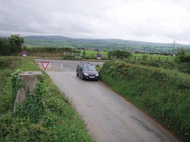
Grovehill Wood is a picturesque forest located in Cornwall, a county in southwest England. This enchanting woodland covers an area of approximately 100 acres and is a popular destination for nature lovers and outdoor enthusiasts.

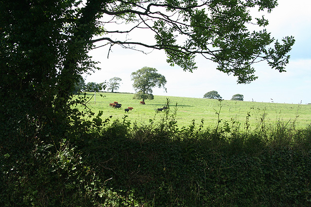
The wood features a diverse range of trees, including oak, beech, and ash, which create a rich and vibrant canopy. The forest floor is adorned with an array of wildflowers, adding to its natural beauty. Grovehill Wood is home to a variety of wildlife, including deer, badgers, and numerous bird species, making it a haven for animal lovers and birdwatchers.

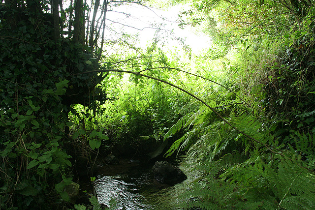
There are several well-maintained walking trails that wind through the wood, allowing visitors to explore its serene surroundings. These paths cater to all levels of fitness and provide opportunities to discover hidden gems within the forest, such as tranquil ponds and secluded clearings.

In addition to its natural charm, Grovehill Wood also holds historical significance. It is believed to have been inhabited in ancient times, as archaeological remains have been found in the area. The wood's history is further enhanced by the presence of a small ruined chapel, which adds a touch of mystique to the overall atmosphere.

Grovehill Wood is easily accessible, with ample parking and nearby amenities. It offers a peaceful retreat from the hustle and bustle of everyday life, providing visitors with an opportunity to reconnect with nature and enjoy the tranquility of Cornwall's countryside.

If you have any feedback on the listing, please let us know in the comments section below.

Grovehill Wood Images

Images are sourced within 2km of 50.609767/-4.4322166 or Grid Reference SX2881. Thanks to Geograph Open Source API. All images are credited.

The A30 west approaching Lewannick junction
St Martin's Church
St Martin's Church
Two Bridges A view looking southwest along the A30 dual carriageway at the entrance to the Two Bridges parking area. The traffic on the road is surprisingly light for a Bank Holiday weekend afternoon.
Two Bridges
A view looking southwest along the A30 dual carriageway at the entrance to the Two Bridges parking area. The traffic on the road is surprisingly light for a Bank Holiday weekend afternoon.
Old bridge at Two Bridges A view looking southeast towards the old bridge near the Two Bridges parking area off the A30 dual carriageway. The temporary fences either side of the River Inny enclose the site of the construction of abutments for a new footbridge.
Old bridge at Two Bridges
A view looking southeast towards the old bridge near the Two Bridges parking area off the A30 dual carriageway. The temporary fences either side of the River Inny enclose the site of the construction of abutments for a new footbridge.
Bridge works at Two Bridges A view looking east across the River Inny at Two Bridges showing one of the abutments being prepared for a new footbridge, the prefabricated structure of which can be seen above the white concrete at left.
Bridge works at Two Bridges
A view looking east across the River Inny at Two Bridges showing one of the abutments being prepared for a new footbridge, the prefabricated structure of which can be seen above the white concrete at left.
Catering van at Two Bridges A view looking to the southeast towards the refreshment facilities at the Two Bridges parking area off the A30 dual carriageway.
Catering van at Two Bridges
A view looking to the southeast towards the refreshment facilities at the Two Bridges parking area off the A30 dual carriageway.
Trethorne Golf Club Once a farm now a golf club and 'leisure farm'.
Trethorne Golf Club
Once a farm now a golf club and 'leisure farm'.
Trig Point at t-junction It is hard to see on the OS map, but there is a trig point here.
Trig Point at t-junction
It is hard to see on the OS map, but there is a trig point here.
South Petherwin: near Botathan Road junction to the west of South Petherwin village. Turn left for Kennard House, the A30 to Exeter and the A395 to Camelford. Looking east
South Petherwin: near Botathan
Road junction to the west of South Petherwin village. Turn left for Kennard House, the A30 to Exeter and the A395 to Camelford. Looking east
South Petherwin: stream near Trecongdon A tributary of the river Inny. Looking north
South Petherwin: stream near Trecongdon
A tributary of the river Inny. Looking north
South Petherwin: near Trecongdon Looking north-north-west
South Petherwin: near Trecongdon
Looking north-north-west
South Petherwin: Oakside By the entrance to a bungalow, and adjoining farm, offering bed and breakfast. Looking south east
South Petherwin: Oakside
By the entrance to a bungalow, and adjoining farm, offering bed and breakfast. Looking south east
Lewannick: cottages at Hick’s Mill The hamlet straddles the narrow valley of an Inny tributary. Looking west-south-west in the direction of Polyphant
Lewannick: cottages at Hick’s Mill
The hamlet straddles the narrow valley of an Inny tributary. Looking west-south-west in the direction of Polyphant
Lewannick Village Hall This shows three important aspects of village life: the village hall, the war memorial and the church. Just behind the photographer is the fourth: the village pub.. The Archer Arms.
Lewannick Village Hall
This shows three important aspects of village life: the village hall, the war memorial and the church. Just behind the photographer is the fourth: the village pub.. The Archer Arms.
The Archers Arms, Lewannick The Archers Arms is in the centre of the village, 1 mile from the A30. They serve real ales, good choice of wines, an open fire and a friendly welcome.
The Archers Arms, Lewannick
The Archers Arms is in the centre of the village, 1 mile from the A30. They serve real ales, good choice of wines, an open fire and a friendly welcome.
Stone Cross, Lewannick This ancient granite pillar is by the village sign on the steep narrow road up from Two Bridges.
Stone Cross, Lewannick
This ancient granite pillar is by the village sign on the steep narrow road up from Two Bridges.
Field at Trevethy Some of the buildings at Trevethy can be glimpsed on the far side of the field. The farm is on the northern slopes of the Inny valley, which is in the background, with Newpark Wood on the southern slopes. The field is beside the farm's no through lane, from which the picture was taken.
Field at Trevethy
Some of the buildings at Trevethy can be glimpsed on the far side of the field. The farm is on the northern slopes of the Inny valley, which is in the background, with Newpark Wood on the southern slopes. The field is beside the farm's no through lane, from which the picture was taken.
Treguddick Manor The manor and its farm lie in a sheltered side valley north of the River Inny not far from the A30. Mullioned windows with dripstones.
Treguddick Manor
The manor and its farm lie in a sheltered side valley north of the River Inny not far from the A30. Mullioned windows with dripstones.
Show me another place!

Grovehill Wood is located at Grid Ref: SX2881 (Lat: 50.609767, Lng: -4.4322166)

Unitary Authority: Cornwall

Police Authority: Devon and Cornwall

What 3 Words

///friction.stability.bypassed. Near Trewen, Cornwall
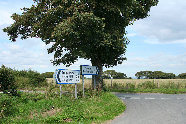
Related Wikis

Treguddick Manor

Treguddick Manor is a Grade II* manor house and 18-acre (7.3 ha) estate in the parish of South Petherwin, Cornwall, England, to the southwest of Launceston...

Two Bridges, Cornwall

Two Bridges is a settlement in east Cornwall, England, United Kingdom, 4 miles (6 km) west-southwest of Launceston at the point where the A30 trunk road...
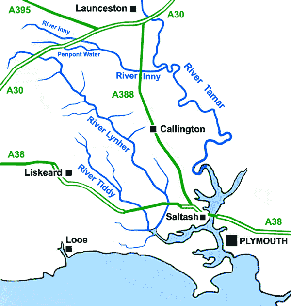
Penpont Water

Penpont Water (Cornish: Dowr Pen Pont, meaning river at the head of a bridge) is a small river in east Cornwall, United Kingdom. It is a tributary of...
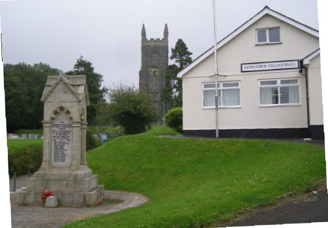
Lewannick

Lewannick (; Cornish: Lannwenek) is a civil parish and village in Cornwall, England, United Kingdom. The village is situated approximately five miles...

Nearby Amenities

Located within 500m of 50.609767,-4.4322166
Ford: yes
Lat/Long: 50.6133613/-4.4308272
Seamark Type: gate
Waterway: lock_gate
Lat/Long: 50.6141466/-4.4332659
Treguddick
Place: hamlet
Wikidata: Q17556183
Lat/Long: 50.6134998/-4.4342047
Seamark Type: gate
Waterway: lock_gate
Lat/Long: 50.6135916/-4.4330905
The data included in this document is from www.openstreetmap.org. The data is made available under ODbL.

Have you been to Grovehill Wood?

Leave your review of Grovehill Wood below (or comments, questions and feedback).