The Warren

Wood, Forest in Cornwall

England

The Warren

B3253 near Tregoad
B3253 near Tregoad Credit: David Dixon

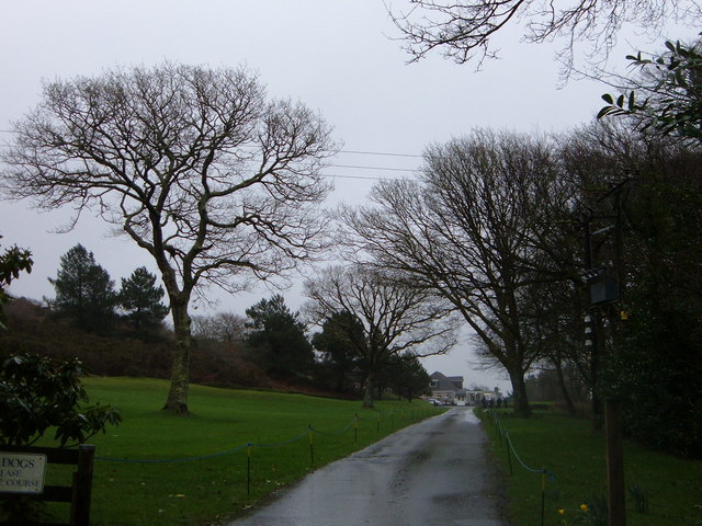
The Warren, located in Cornwall, England, is a picturesque woodland and forest area known for its natural beauty and diverse wildlife. Spread across an expansive area, it offers a tranquil retreat for nature enthusiasts and outdoor adventurers alike.

The woodland is predominantly composed of deciduous trees, including oak, beech, and birch, which create a dense canopy overhead, providing shade and refuge for various species of birds, mammals, and insects. The forest floor is covered in a lush carpet of moss, ferns, and wildflowers, adding to the enchanting atmosphere.

Visitors to The Warren can expect to encounter a wide array of wildlife. Birdwatchers can spot species such as woodpeckers, nuthatches, and owls, while small mammals like squirrels, badgers, and foxes can be observed going about their daily routines. The forest is also home to a rich variety of insects, including butterflies and beetles.

Several walking trails wind their way through The Warren, offering visitors the opportunity to explore the forest at their own pace. These paths take visitors through sun-dappled glades, alongside babbling brooks, and past ancient trees, creating a sense of peace and serenity.

The Warren is not only a haven for wildlife but also serves as an important conservation area. Efforts are made to maintain the natural habitat and protect the indigenous species that call this woodland home. Educational programs and guided tours are available for those interested in learning more about the ecosystem and the importance of preserving it.

Overall, The Warren in Cornwall is a captivating woodland retreat, where visitors can immerse themselves in the beauty of nature, experience the tranquility of the forest, and witness the diverse array of wildlife that thrives within its boundaries.

If you have any feedback on the listing, please let us know in the comments section below.
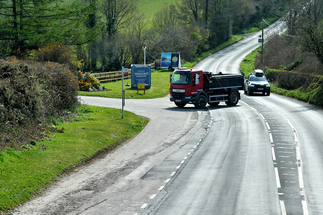
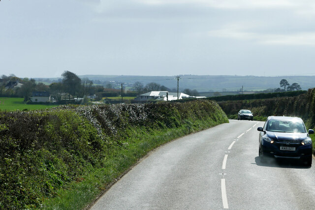
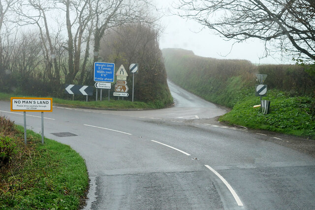
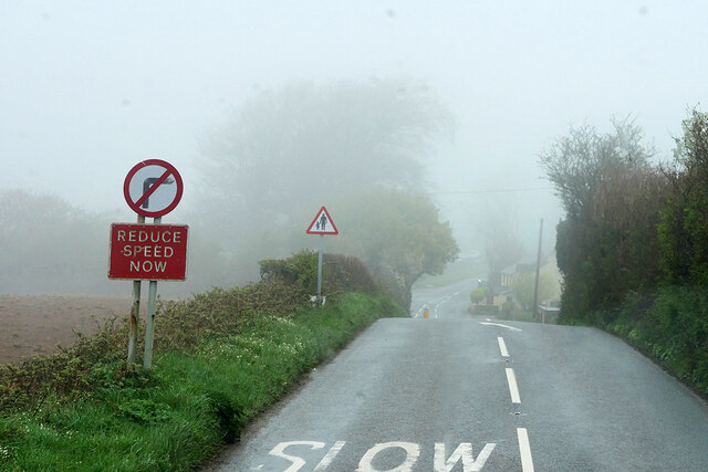
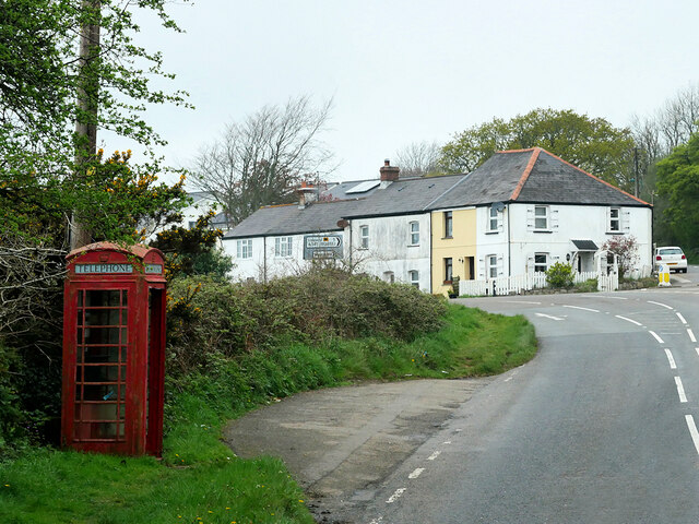
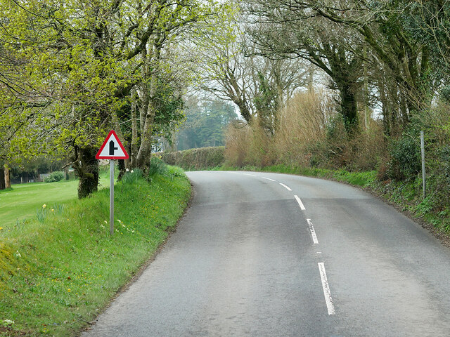
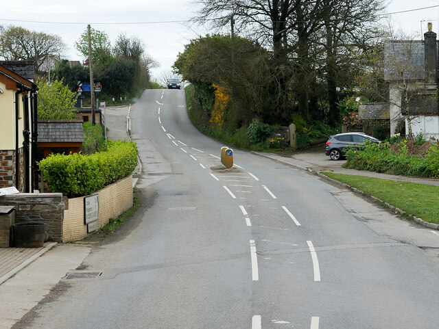
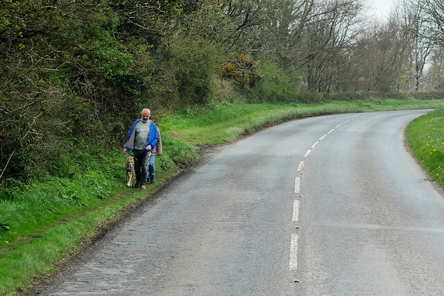
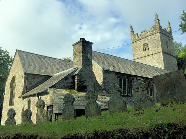
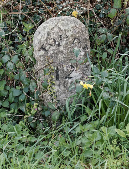
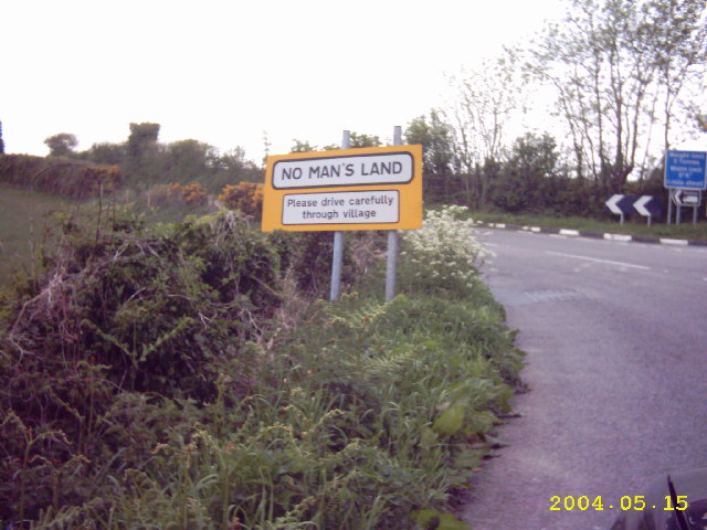
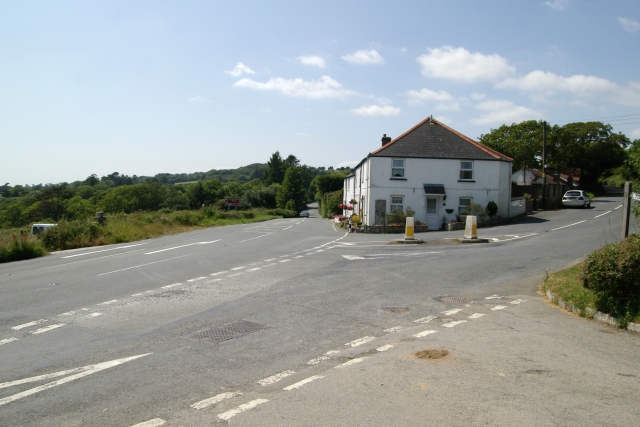
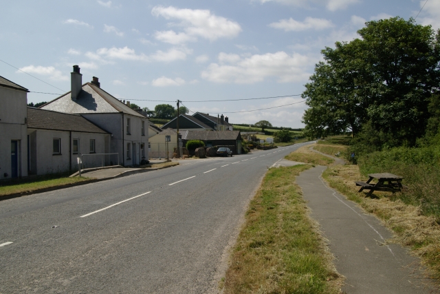
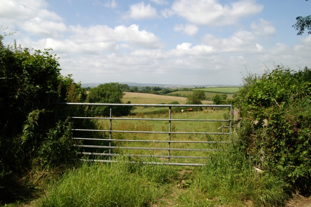
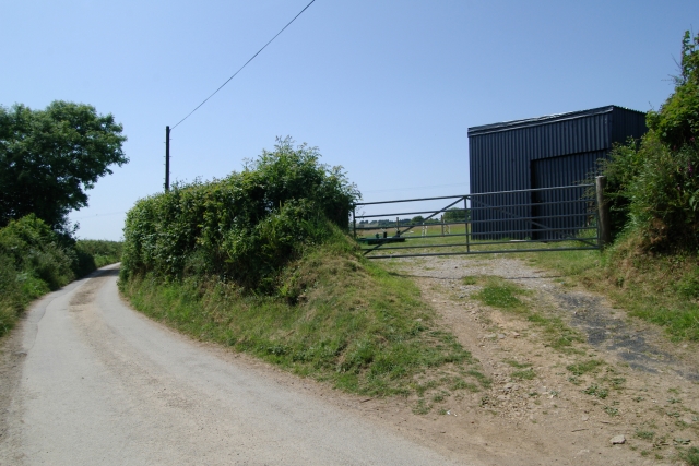
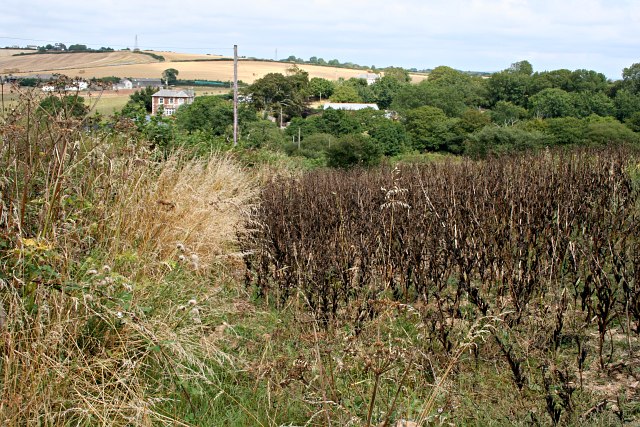
The Warren Images

Images are sourced within 2km of 50.392816/-4.4323482 or Grid Reference SX2757. Thanks to Geograph Open Source API. All images are credited.

B3253 near Tregoad
B3253 near Tregoad
B3253 near Looe Bay Holiday Park
B3253 towards No Man's Land
Road Junction, No Man's Land No Man's Land is a crossroads hamlet on the B3253 in Cornwall. It is situated approximately two miles (3 km) northeast of Looe on the B3253 road to Widegates
Road Junction, No Man's Land
No Man's Land is a crossroads hamlet on the B3253 in Cornwall. It is situated approximately two miles (3 km) northeast of Looe on the B3253 road to Widegates
B3253 near No Man's Land
Wildegates Widegates is a village in Cornwall, about 4 miles north of Looe. It is on the A387 road about two miles west of Hessenford.
Wildegates
Widegates is a village in Cornwall, about 4 miles north of Looe. It is on the A387 road about two miles west of Hessenford.
B3253 near Wildegates
No Man's Land No Man's Land is a crossroads hamlet on the B3253 in Cornwall. It is situated approximately two miles (3 km) northeast of Looe on the B3253 road to Widegates
No Man's Land
No Man's Land is a crossroads hamlet on the B3253 in Cornwall. It is situated approximately two miles (3 km) northeast of Looe on the B3253 road to Widegates
Dog-walkers on the A387 near Wildegates
St Wenna's Church
St Wenna's Church
Old Milestone by the B3253 at Widegates Carved stone post by the B3253, in parish of MORVAL (CARADON District), Shortacross, Tredinnick Farm, junction with the A387, by commemorative cross (1877-1901), on South side of road. Torpoint stone, erected by the Local Highways Board in the 19th century. 

Inscription reads:-
TORPᵀ.
12

Grade II listed. 
List Entry Number: 1329319 <span class="nowrap"><a title="https://historicengland.org.uk/listing/the-list/list-entry/1329319" rel="nofollow ugc noopener" href="https://historicengland.org.uk/listing/the-list/list-entry/1329319">Link</a><img style="margin-left:2px;" alt="External link" title="External link - shift click to open in new window" src="https://s1.geograph.org.uk/img/external.png" width="10" height="10"/></span>

Milestone Society National ID: CW_TPMO12.
Old Milestone by the B3253 at Widegates
Carved stone post by the B3253, in parish of MORVAL (CARADON District), Shortacross, Tredinnick Farm, junction with the A387, by commemorative cross (1877-1901), on South side of road. Torpoint stone, erected by the Local Highways Board in the 19th century. Inscription reads:- TORPᵀ. 12 Grade II listed. List Entry Number: 1329319 LinkExternal link Milestone Society National ID: CW_TPMO12.
No Man's Land, Cornwall
Shortacross, Cornwall The junction of the A387 and the B3253 Looe road at Shortacross, Cornwall.
Shortacross, Cornwall
The junction of the A387 and the B3253 Looe road at Shortacross, Cornwall.
A387, Widegates The north western end of Widegates, on the A387, Cornwall.
A387, Widegates
The north western end of Widegates, on the A387, Cornwall.
Field, Widlake Farm Field at Widlake Farm, Widegates, Cornwall.
Field, Widlake Farm
Field at Widlake Farm, Widegates, Cornwall.
Lydcott Lane, Widegates Shed at Lydcott Lane, Widegates, Cornwall.
Lydcott Lane, Widegates
Shed at Lydcott Lane, Widegates, Cornwall.
Beanfield By the time these beans are ready for harvesting the whole plants are black and dead.
Beanfield
By the time these beans are ready for harvesting the whole plants are black and dead.
Wringworthy This photograph looks across a steep valley to Lower Wringworthy and behind it Wringworthy Farm.
Wringworthy
This photograph looks across a steep valley to Lower Wringworthy and behind it Wringworthy Farm.
Show me another place!

The Warren is located at Grid Ref: SX2757 (Lat: 50.392816, Lng: -4.4323482)

Unitary Authority: Cornwall

Police Authority: Devon and Cornwall

What 3 Words

///physical.bypassed.dated. Near Duloe, Cornwall

Related Wikis

Bin Down

Bin Down is a hill, 203 metres (666 ft) high near Liskeard in the county of Cornwall, England. Its prominence of 101 metres qualifies it as a HuMP. Bin...

Wringworthy

Wringworthy is a hamlet in Cornwall, England, United Kingdom. It is in the parish of Morval on the A387 road. == References ==

No Man's Land, Cornwall

No Man's Land is a crossroads hamlet in south-east Cornwall, England, United Kingdom. It is situated approximately two miles (3 km) northeast of Looe on...

Morval, Cornwall

Morval (Cornish: Morval) is a rural civil parish, hamlet and historic manor in southeast Cornwall, England, United Kingdom. The hamlet is approximately...

Nearby Amenities

Located within 500m of 50.392816,-4.4323482
Bin Down
Description: OS trig pillar
Ele: 200.29
Man Made: survey_point
Note: Accurate location import for imagery offset calibration. Please do not move.
Ref: PP198
Source: Ordnance Survey (OGL)
Survey Point: pillar
Lat/Long: 50.3933115/-4.4277082
The data included in this document is from www.openstreetmap.org. The data is made available under ODbL.

Have you been to The Warren?

Leave your review of The Warren below (or comments, questions and feedback).