Bin Down

Downs, Moorland in Cornwall

England

Bin Down

Bus on the A387 near Tredinnick Transport for Cornwall ADL Enviro200 MMC  (2415), WA20 DWO, operating on the 72 route between Plymouth and Polperro.
Bus on the A387 near Tredinnick Credit: David Dixon

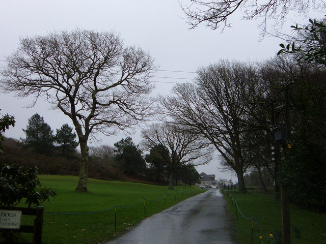
Bin Down is a small village located in the beautiful county of Cornwall, England. Nestled amidst rolling hills, lush green moorland, and picturesque countryside, Bin Down is a hidden gem that offers a tranquil escape from the hustle and bustle of city life.

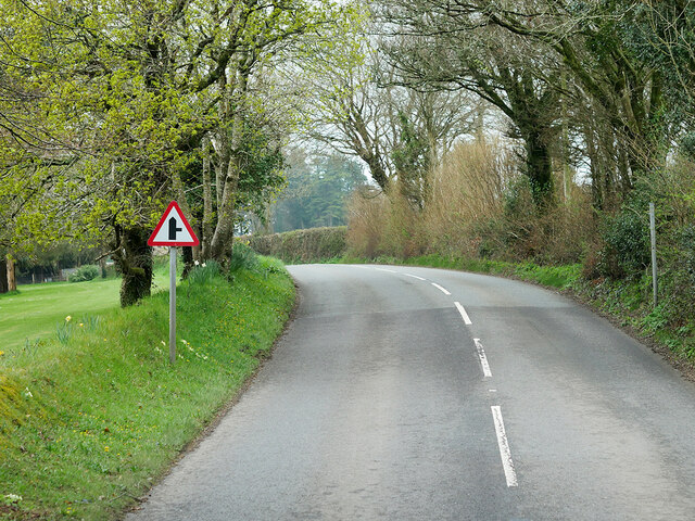
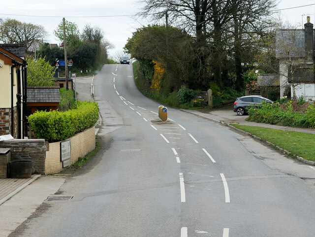
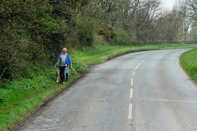
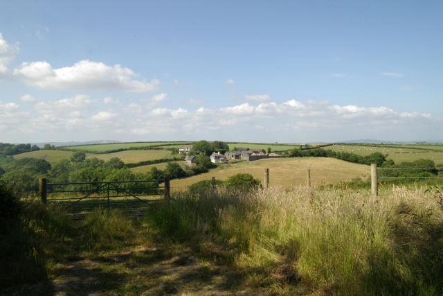
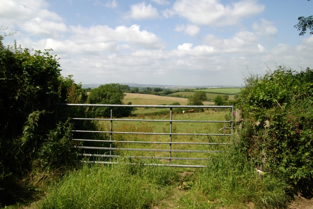
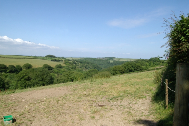
Surrounded by breathtaking natural beauty, the village is a haven for outdoor enthusiasts and nature lovers. The Downs, a prominent feature of the area, provide sweeping views of the Cornish landscape and are a popular spot for hiking, walking, and picnicking. The moorland, with its heather-covered expanses and scattered granite rocks, adds to the area's charm and provides a unique habitat for a variety of flora and fauna.

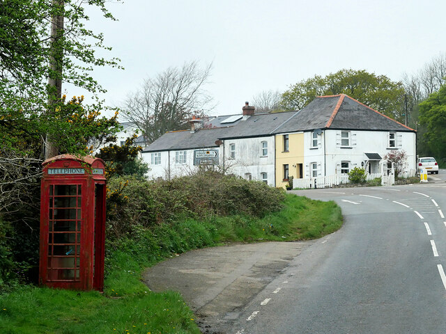
Bin Down itself is a close-knit community, with a small population that prides itself on its strong sense of community spirit. The village is dotted with charming cottages and traditional stone houses, giving it a quintessential Cornish character. There is a local pub, The Moorland Inn, where residents and visitors alike gather to socialize and enjoy a pint of local ale.

While Bin Down may be small in size, it offers a range of amenities and services to cater to the needs of its residents. There is a village hall that hosts various community events and gatherings, as well as a primary school that provides education to the local children. For shopping needs, residents can visit nearby towns such as Bodmin or St. Austell, which offer a wider range of shops and services.

Overall, Bin Down is a peaceful and idyllic village that showcases the natural beauty of Cornwall. With its stunning moorland, charming community, and close proximity to larger towns, it is a perfect place for those seeking a slower pace of life amidst the tranquility of the countryside.

If you have any feedback on the listing, please let us know in the comments section below.
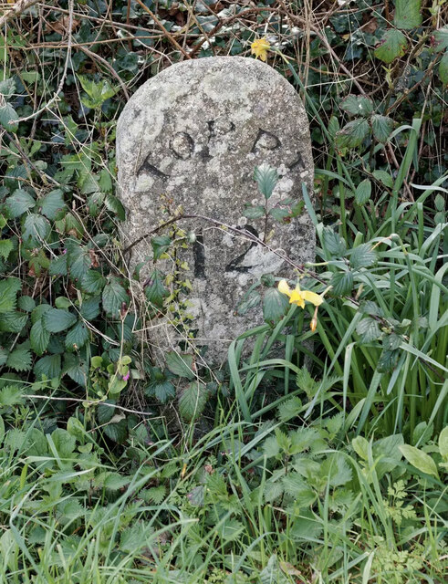
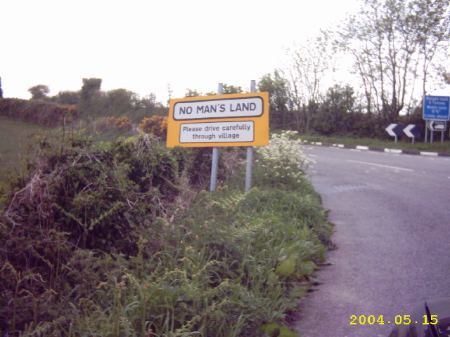
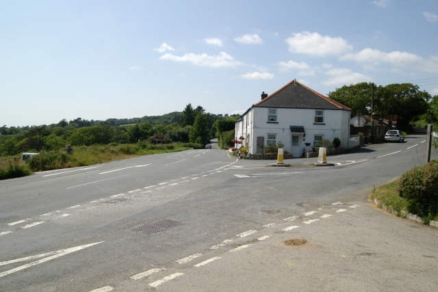
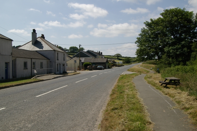
Bin Down Images

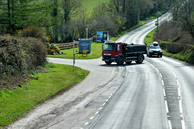
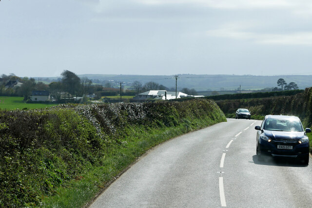
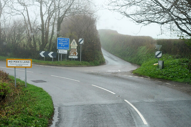
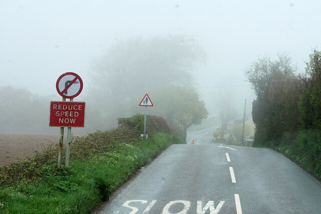
Images are sourced within 2km of 50.394653/-4.4227615 or Grid Reference SX2757. Thanks to Geograph Open Source API. All images are credited.

Bus on the A387 near Tredinnick Transport for Cornwall ADL Enviro200 MMC  (2415), WA20 DWO, operating on the 72 route between Plymouth and Polperro.
Bus on the A387 near Tredinnick
Transport for Cornwall ADL Enviro200 MMC (2415), WA20 DWO, operating on the 72 route between Plymouth and Polperro.
B3253 near Tregoad
B3253 near Tregoad
B3253 towards No Man's Land
Road Junction, No Man's Land No Man's Land is a crossroads hamlet on the B3253 in Cornwall. It is situated approximately two miles (3 km) northeast of Looe on the B3253 road to Widegates
Road Junction, No Man's Land
No Man's Land is a crossroads hamlet on the B3253 in Cornwall. It is situated approximately two miles (3 km) northeast of Looe on the B3253 road to Widegates
B3253 near No Man's Land
Wildegates Widegates is a village in Cornwall, about 4 miles north of Looe. It is on the A387 road about two miles west of Hessenford.
Wildegates
Widegates is a village in Cornwall, about 4 miles north of Looe. It is on the A387 road about two miles west of Hessenford.
B3253 near Wildegates
No Man's Land No Man's Land is a crossroads hamlet on the B3253 in Cornwall. It is situated approximately two miles (3 km) northeast of Looe on the B3253 road to Widegates
No Man's Land
No Man's Land is a crossroads hamlet on the B3253 in Cornwall. It is situated approximately two miles (3 km) northeast of Looe on the B3253 road to Widegates
Dog-walkers on the A387 near Wildegates
Old Milestone by the B3253 at Widegates Carved stone post by the B3253, in parish of MORVAL (CARADON District), Shortacross, Tredinnick Farm, junction with the A387, by commemorative cross (1877-1901), on South side of road. Torpoint stone, erected by the Local Highways Board in the 19th century. 

Inscription reads:-
TORPᵀ.
12

Grade II listed. 
List Entry Number: 1329319 <span class="nowrap"><a title="https://historicengland.org.uk/listing/the-list/list-entry/1329319" rel="nofollow ugc noopener" href="https://historicengland.org.uk/listing/the-list/list-entry/1329319">Link</a><img style="margin-left:2px;" alt="External link" title="External link - shift click to open in new window" src="https://s1.geograph.org.uk/img/external.png" width="10" height="10"/></span>

Milestone Society National ID: CW_TPMO12.
Old Milestone by the B3253 at Widegates
Carved stone post by the B3253, in parish of MORVAL (CARADON District), Shortacross, Tredinnick Farm, junction with the A387, by commemorative cross (1877-1901), on South side of road. Torpoint stone, erected by the Local Highways Board in the 19th century. Inscription reads:- TORPᵀ. 12 Grade II listed. List Entry Number: 1329319 LinkExternal link Milestone Society National ID: CW_TPMO12.
No Man's Land, Cornwall
Shortacross, Cornwall The junction of the A387 and the B3253 Looe road at Shortacross, Cornwall.
Shortacross, Cornwall
The junction of the A387 and the B3253 Looe road at Shortacross, Cornwall.
A387, Widegates The north western end of Widegates, on the A387, Cornwall.
A387, Widegates
The north western end of Widegates, on the A387, Cornwall.
Colvase Farm Colvase Farm from Widlake Farm, Widegates, Cornwall.
Colvase Farm
Colvase Farm from Widlake Farm, Widegates, Cornwall.
Field, Widlake Farm Field at Widlake Farm, Widegates, Cornwall.
Field, Widlake Farm
Field at Widlake Farm, Widegates, Cornwall.
Lydcott Lane, Widegates Shed at Lydcott Lane, Widegates, Cornwall.
Lydcott Lane, Widegates
Shed at Lydcott Lane, Widegates, Cornwall.
Bales, Lydcott Lane, Widegates Pile of bales, Lydcott Lane, Widegates, Cornwall.
Bales, Lydcott Lane, Widegates
Pile of bales, Lydcott Lane, Widegates, Cornwall.
Fields and Woods, Widlake Farm, Widegates Fields and Woods, Widlake Farm, Widegates, Cornwall.
Fields and Woods, Widlake Farm, Widegates
Fields and Woods, Widlake Farm, Widegates, Cornwall.
Show me another place!

Bin Down is located at Grid Ref: SX2757 (Lat: 50.394653, Lng: -4.4227615)

Unitary Authority: Cornwall

Police Authority: Devon and Cornwall

What 3 Words

///importing.evaporate.decay. Near Duloe, Cornwall

Related Wikis

Bin Down

Bin Down is a hill, 203 metres (666 ft) high near Liskeard in the county of Cornwall, England. Its prominence of 101 metres qualifies it as a HuMP. Bin...

Widegates

Widegates is a village in south-east Cornwall, England, UK, about 4 miles north of Looe. It is on the A387 road about two miles west of Hessenford.The...

Wringworthy

Wringworthy is a hamlet in Cornwall, England, United Kingdom. It is in the parish of Morval on the A387 road. == References ==

No Man's Land, Cornwall

No Man's Land is a crossroads hamlet in south-east Cornwall, England, United Kingdom. It is situated approximately two miles (3 km) northeast of Looe on...

Nearby Amenities

Located within 500m of 50.394653,-4.4227615
Generator Method: photovoltaic
Generator Output Electricity: yes
Generator Source: solar
Generator Type: solar_photovoltaic_panel
Power: generator
Lat/Long: 50.3954742/-4.4161323
Bin Down
Description: OS trig pillar
Ele: 200.29
Man Made: survey_point
Note: Accurate location import for imagery offset calibration. Please do not move.
Ref: PP198
Source: Ordnance Survey (OGL)
Survey Point: pillar
Lat/Long: 50.3933115/-4.4277082
The data included in this document is from www.openstreetmap.org. The data is made available under ODbL.

Have you been to Bin Down?

Leave your review of Bin Down below (or comments, questions and feedback).