Hardlaw Brae
Downs, Moorland in Ayrshire
Scotland
Hardlaw Brae
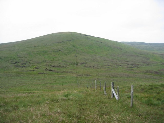
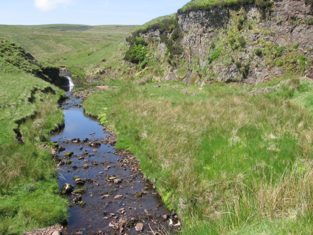
Hardlaw Brae is a picturesque area located in Ayrshire, Scotland. Situated in the southern part of the region, it is characterized by its stunning downs and moorland landscapes. The brae, which refers to a steep slope or hillside, offers breathtaking views of the surrounding countryside.
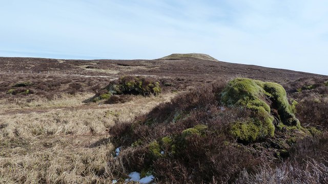
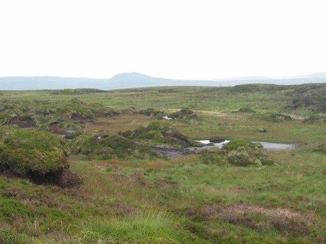
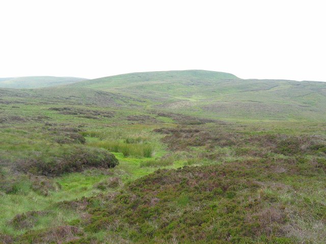
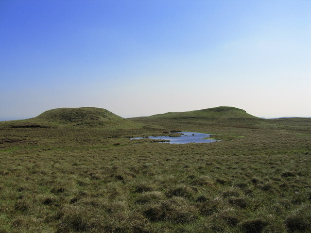
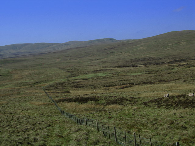
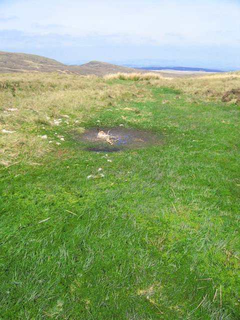
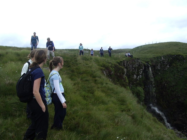
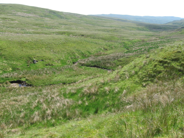
The downs of Hardlaw Brae are vast grassy plains, gently rolling and extending as far as the eye can see. These open spaces provide a haven for various species of flora and fauna, making it a popular destination for nature enthusiasts and hikers. The undulating terrain is both challenging and rewarding for those seeking outdoor adventures.
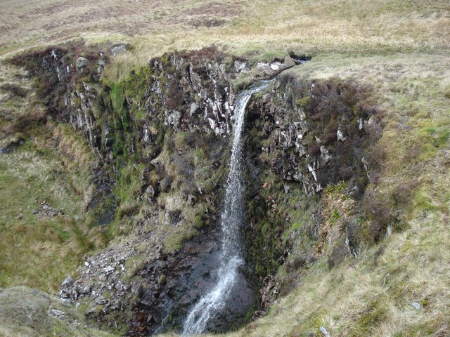
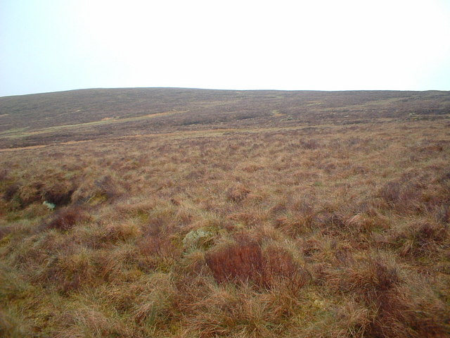
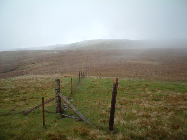
In contrast to the downs, the moorland areas of Hardlaw Brae are characterized by their rugged and wild beauty. The moors are covered in heather, giving the landscape a rich purple hue during the flowering season. This habitat is home to a diverse range of bird species, including the iconic red grouse, which thrives in this unique environment.
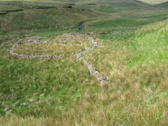
The area is also known for its historical significance, with remnants of ancient settlements and structures scattered throughout. Ruins of old farmsteads and stone circles can be found, providing a glimpse into the region's past.
Hardlaw Brae offers a tranquil escape from the hustle and bustle of city life. Its natural beauty, combined with its historical heritage, makes it a destination that appeals to both nature lovers and history enthusiasts. Whether one is exploring the downs or wandering through the moorland, Hardlaw Brae provides a truly captivating experience.
If you have any feedback on the listing, please let us know in the comments section below.
Hardlaw Brae Images
Images are sourced within 2km of 55.808794/-4.748904 or Grid Reference NS2760. Thanks to Geograph Open Source API. All images are credited.

Hardlaw Brae is located at Grid Ref: NS2760 (Lat: 55.808794, Lng: -4.748904)
Unitary Authority: North Ayrshire
Police Authority: Ayrshire
What 3 Words
///form.inflame.whiplash. Near Largs, North Ayrshire
Nearby Locations
Related Wikis

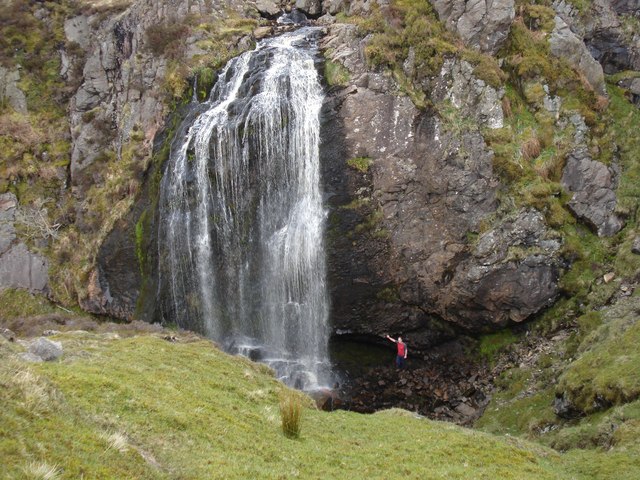
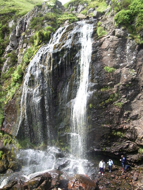
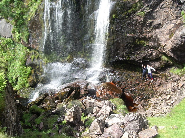
Spout of Garnock
The Spout of Garnock (or Garnock Spout) is a waterfall in Ayrshire, Scotland. At approximately 60–70 ft high, it is the county's highest waterfall. It...

Hill of Stake
Hill of Stake is a hill on the boundary between North Ayrshire and Renfrewshire, Scotland. == Geography == The hill is 522 metres (1,713 feet) high and...

British European Airways Flight S200P
British European Airways Flight S200P was a short-haul flight from London-Northolt Airport to Glasgow-Renfrew Airport, Scotland. On 21 April 1948, while...

Irish Law (mountain)
Irish Law is a mountain located in North Ayrshire, Scotland near the town of Largs. It has an elevation of 484 metres (1,588 ft) and a prominence of 80...
Have you been to Hardlaw Brae?
Leave your review of Hardlaw Brae below (or comments, questions and feedback).