Kennelhill Wood

Wood, Forest in Cornwall

England

Kennelhill Wood

Lane heading to North Petherwin Lane at junction heading to North Petherwin
Lane heading to North Petherwin Credit: Shaun Ferguson

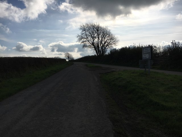
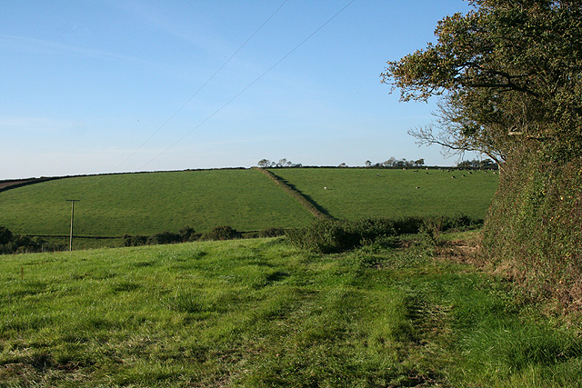
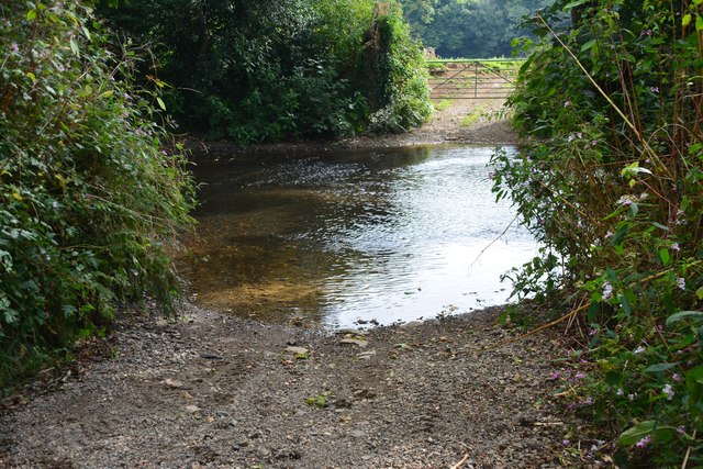
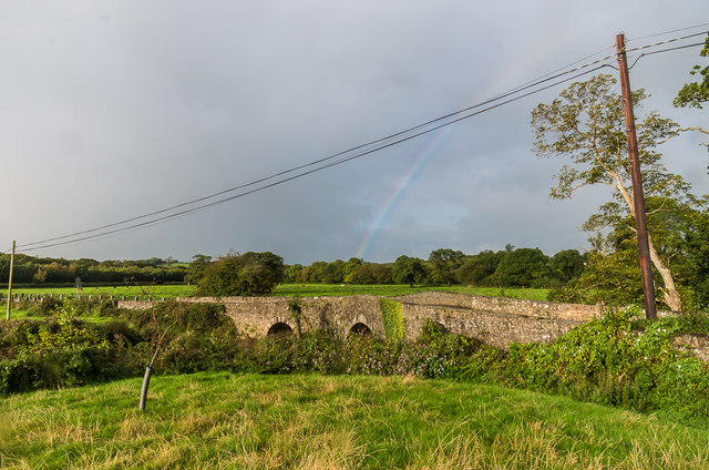
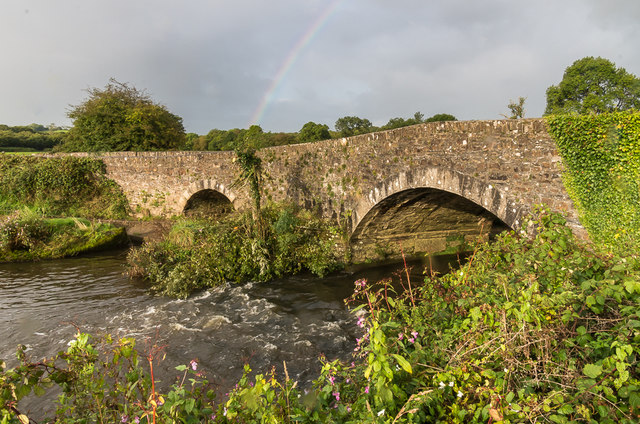
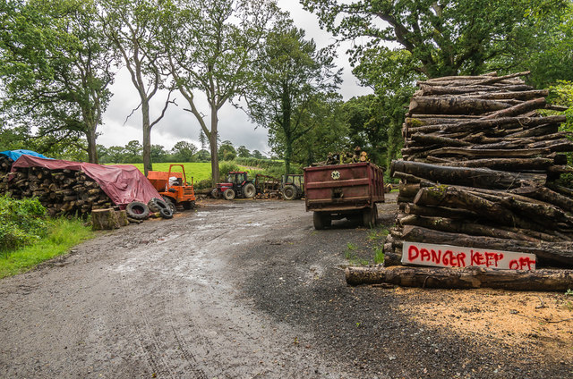
Kennelhill Wood is a picturesque forest located in Cornwall, England. Covering an area of approximately 100 acres, it is situated near the village of Kennelhill. The wood is part of a larger network of woodlands in the region, and its diverse ecosystem makes it an important habitat for a variety of flora and fauna.

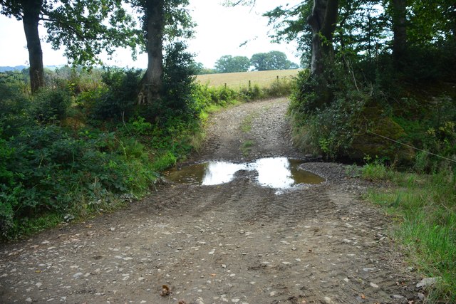
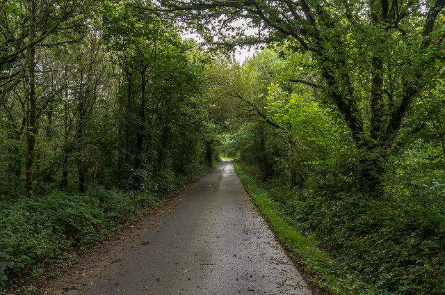
The wood is predominantly composed of broadleaf trees, including oak, beech, and ash. These towering trees provide a dense canopy that filters sunlight, creating a tranquil and shaded environment. Beneath the canopy, the forest floor is covered in a carpet of wildflowers, ferns, and mosses, adding to the natural beauty of the wood.

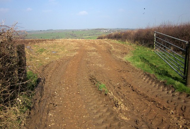
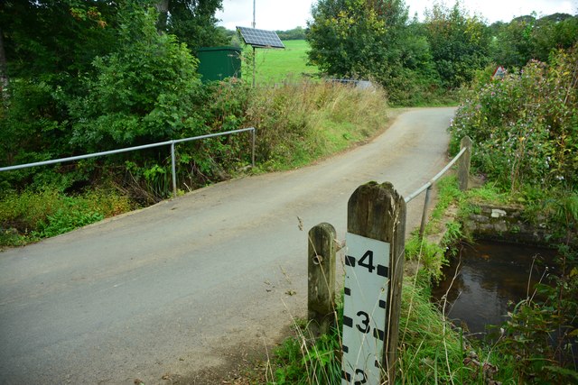
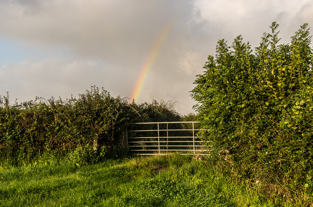
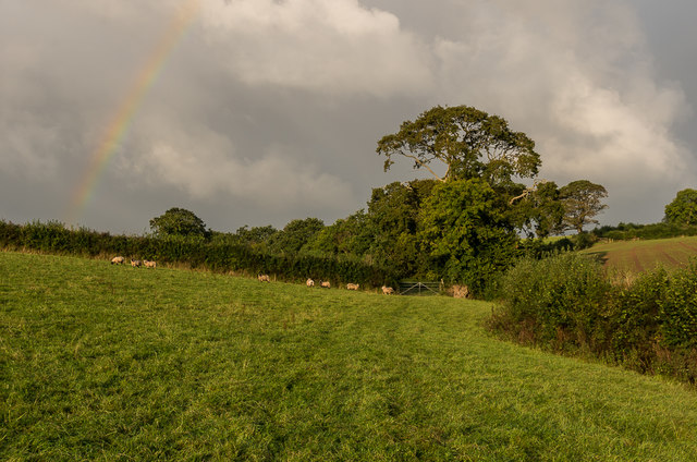
Kennelhill Wood is intersected by several footpaths and trails that allow visitors to explore and appreciate its natural wonders. These paths meander through the forest, providing opportunities for hiking, jogging, and wildlife observation. Along the way, visitors may encounter a range of wildlife, including deer, squirrels, and various bird species.

The wood also holds historical significance, as remnants of ancient settlements and burial sites have been discovered within its boundaries. These archaeological finds provide evidence of human activity in the area dating back thousands of years.

Overall, Kennelhill Wood is a captivating natural haven that offers visitors a chance to immerse themselves in the beauty of Cornwall's woodlands. Its diverse flora and fauna, coupled with its historical significance, make it a popular destination for nature enthusiasts, hikers, and history buffs alike.

If you have any feedback on the listing, please let us know in the comments section below.

Kennelhill Wood Images

Images are sourced within 2km of 50.67124/-4.4500002 or Grid Reference SX2688. Thanks to Geograph Open Source API. All images are credited.

Lane heading to North Petherwin Lane at junction heading to North Petherwin
Lane heading to North Petherwin
Lane at junction heading to North Petherwin
Field near Trillacott Seen from the lane from Winnacott.
Field near Trillacott
Seen from the lane from Winnacott.
Road fork northwest of North Petherwin The main lane left is for Brazacott; the right fork narrowly misses the village on the east, heading for Copthorne.
Road fork northwest of North Petherwin
The main lane left is for Brazacott; the right fork narrowly misses the village on the east, heading for Copthorne.
Lane near Brazacott A view down the right-hand lane seen in <a href="https://www.geograph.org.uk/photo/4390156">SX2790 : Road fork northwest of North Petherwin</a> as it takes a double bend crossing a minor col between tributaries of Caudworthy Water on the left and Bolesbridge Water on the right, both themselves tributaries of the Ottery.
Lane near Brazacott
A view down the right-hand lane seen in SX2790 : Road fork northwest of North Petherwin as it takes a double bend crossing a minor col between tributaries of Caudworthy Water on the left and Bolesbridge Water on the right, both themselves tributaries of the Ottery.
North Petherwin: near Winnacott Looking north
North Petherwin: near Winnacott
Looking north
North Petherwin: south from Brazacott Looking north-north-west. The lane on the right leads to Copthorne. Late afternoon light, October 2007
North Petherwin: south from Brazacott
Looking north-north-west. The lane on the right leads to Copthorne. Late afternoon light, October 2007
Penrose Ford The ford at Penrose has water level monitoring equipment on both sides of the road.
Penrose Ford
The ford at Penrose has water level monitoring equipment on both sides of the road.
Ford at Penheale This ford on the River Ottery is found at Penheale.
Ford at Penheale
This ford on the River Ottery is found at Penheale.
Ford at Coombekeale This ford is found beyond the wood yard at Coombekeale.
Ford at Coombekeale
This ford is found beyond the wood yard at Coombekeale.
Gate and rainbow A rainbow above a gate onto a track on Waterloo Farm.
Gate and rainbow
A rainbow above a gate onto a track on Waterloo Farm.
Sheep and rainbow Sheep in a field on Waterloo Farm, with a rainbow in the sky above.
Sheep and rainbow
Sheep in a field on Waterloo Farm, with a rainbow in the sky above.
Hellescott Bridge Late 18th Century bridge over the River Ottery, widened in the 19th Century.  Grade II listed - see <span class="nowrap"><a title="www.historicengland.org.uk/listing/the-list/list-entry/1142928" rel="nofollow ugc noopener" href="http://www.historicengland.org.uk/listing/the-list/list-entry/1142928">Link</a><img style="margin-left:2px;" alt="External link" title="External link - shift click to open in new window" src="https://s1.geograph.org.uk/img/external.png" width="10" height="10"/></span>.  A rainbow is in the sky in the background.
Hellescott Bridge
Late 18th Century bridge over the River Ottery, widened in the 19th Century. Grade II listed - see LinkExternal link. A rainbow is in the sky in the background.
Lane north of Egloskerry Lane connecting Egloskerry and North Petherwin.  Old maps suggest that the lane only dates from around the turn of the 19th/20th Centuries.

Post script - I was kindly contacted by William Werren who said that the lane was locally known as 'new road' built to connect North Petherwin with the new railway station at Egloskerry.  This was opened in 1892, which is consistent with when the lane was first shown on maps.
Lane north of Egloskerry
Lane connecting Egloskerry and North Petherwin. Old maps suggest that the lane only dates from around the turn of the 19th/20th Centuries. Post script - I was kindly contacted by William Werren who said that the lane was locally known as 'new road' built to connect North Petherwin with the new railway station at Egloskerry. This was opened in 1892, which is consistent with when the lane was first shown on maps.
Coombekeale Early 18th Century grade II listed farmhouse - see <span class="nowrap"><a title="www.historicengland.org.uk/listing/the-list/list-entry/1159941" rel="nofollow ugc noopener" href="http://www.historicengland.org.uk/listing/the-list/list-entry/1159941">Link</a><img style="margin-left:2px;" alt="External link" title="External link - shift click to open in new window" src="https://s1.geograph.org.uk/img/external.png" width="10" height="10"/></span>.
Coombekeale
Early 18th Century grade II listed farmhouse - see LinkExternal link.
Coombekeale Farm buildings at Coombekeale.
Coombekeale
Farm buildings at Coombekeale.
Timber stacks Timber stacks south of Coombeleake.
Timber stacks
Timber stacks south of Coombeleake.
Coombekeale Plantation Lane to Coombekeale through Coombekeale Plantation.
Coombekeale Plantation
Lane to Coombekeale through Coombekeale Plantation.
Show me another place!

Kennelhill Wood is located at Grid Ref: SX2688 (Lat: 50.67124, Lng: -4.4500002)

Unitary Authority: Cornwall

Police Authority: Devon and Cornwall

What 3 Words

///slippers.headlines.builders. Near Boyton, Cornwall

Related Wikis

Penheale Manor

Penheale Manor is a Grade I listed manor house and historic building one mile north of Egloskerry, Cornwall. == History == The manor was mentioned as...

Petherwin Gate

Petherwin Gate is a hamlet in Cornwall, England. It is about half a mile south of North Petherwin. == References ==

Trebeath

Trebeath is a hamlet in the parish of Egloskerry, Cornwall, England, United Kingdom. == References == == External links == Media related to Trebeath at...

North Petherwin

North Petherwin (Cornish: Paderwynn Gledh) is a civil parish and village in the historic county of Devon and the ceremonial county of Cornwall, England...

Nearby Amenities

Located within 500m of 50.67124,-4.4500002
Penheale Barton
Place: isolated_dwelling
Lat/Long: 50.6673022/-4.4529034
The data included in this document is from www.openstreetmap.org. The data is made available under ODbL.

Have you been to Kennelhill Wood?

Leave your review of Kennelhill Wood below (or comments, questions and feedback).