Newhedges Wood

Wood, Forest in Cornwall

England

Newhedges Wood

Lane heading to North Petherwin Lane at junction heading to North Petherwin
Lane heading to North Petherwin Credit: Shaun Ferguson

Newhedges Wood is a picturesque woodland located in Cornwall, England. Spanning over a vast area, it is situated near the small village of Newhedges, offering visitors a peaceful escape into nature. The wood is characterized by its dense greenery, towering trees, and diverse array of wildlife.

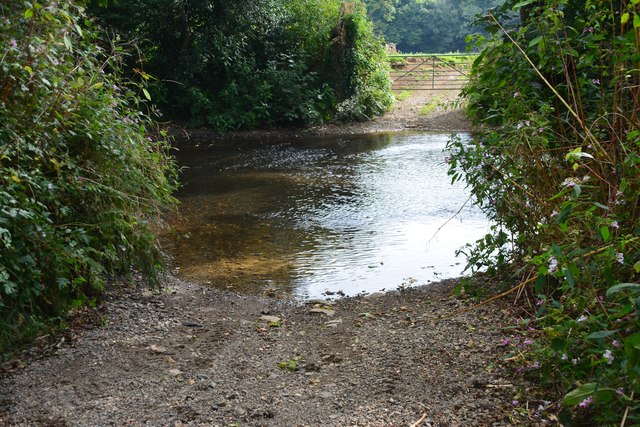
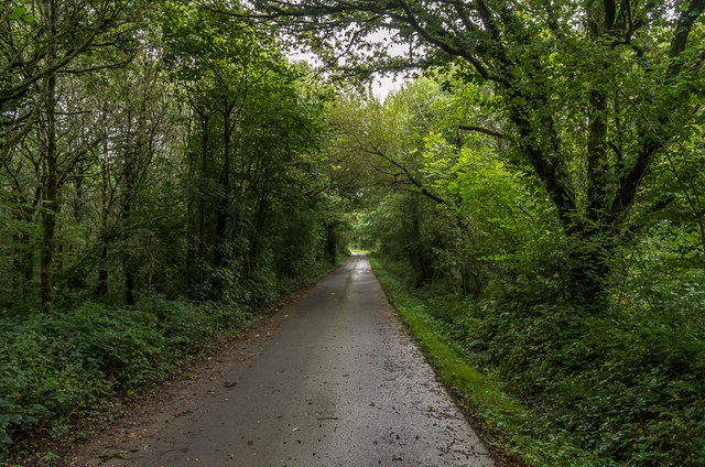
As one ventures into Newhedges Wood, they are immediately engulfed by the tranquility of the surroundings. The forest floor is covered in a thick carpet of moss and fallen leaves, creating a soft and quiet path for explorers. The canopy above provides shade and filters the sunlight, casting a dappled glow on the forest floor.

The wood is home to a wide variety of tree species, including oak, beech, and ash, which contribute to the rich biodiversity found within. These trees provide a habitat for a plethora of wildlife, such as squirrels, badgers, and numerous species of birds. Birdsong can often be heard echoing through the trees, adding to the enchanting atmosphere.

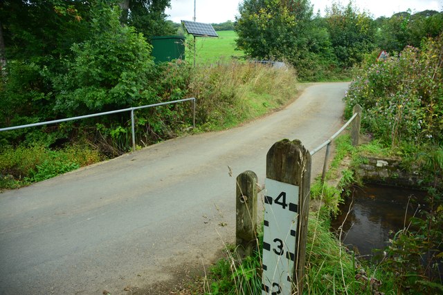
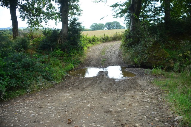
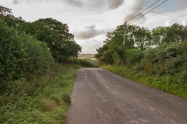
Walking through Newhedges Wood, visitors will come across a network of well-maintained trails that wind their way through the forest. These paths offer the opportunity for leisurely strolls or more challenging hikes, allowing visitors to fully immerse themselves in the natural beauty of the area.

Newhedges Wood is not only a haven for nature enthusiasts but also serves as an important conservation area. Efforts have been made to protect and preserve this woodland, ensuring that future generations can enjoy its beauty and ecological significance.

Overall, Newhedges Wood offers a serene and captivating experience for those seeking solace in nature. Its lush vegetation, diverse wildlife, and well-marked trails make it an ideal destination for outdoor enthusiasts and nature lovers alike.

If you have any feedback on the listing, please let us know in the comments section below.

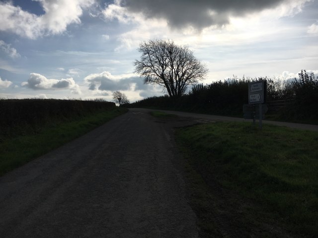
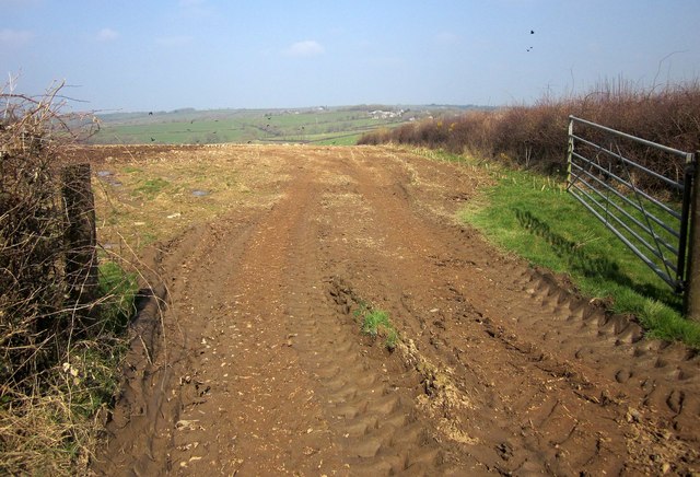
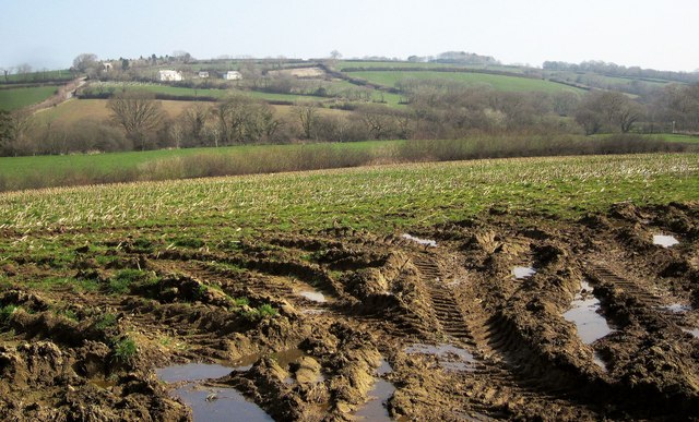
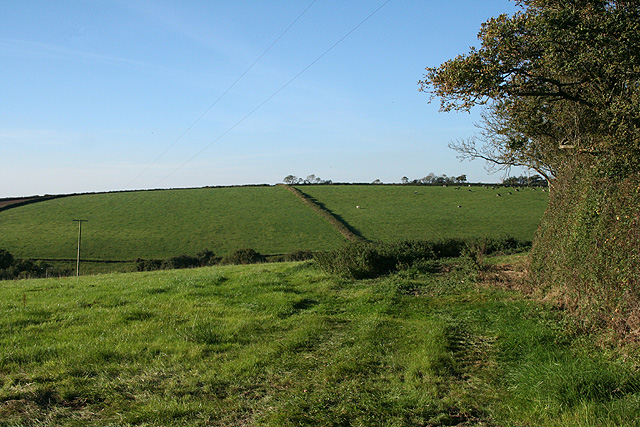
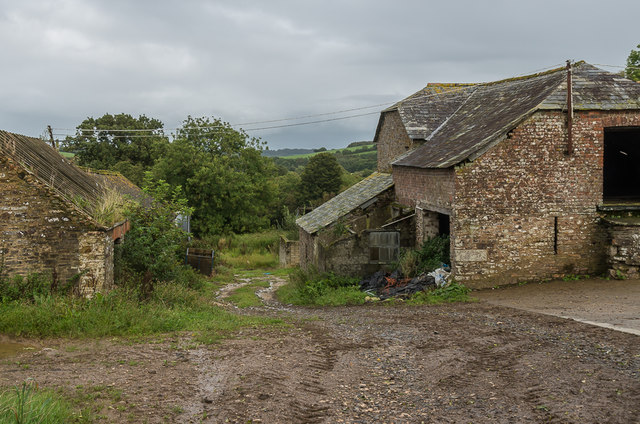
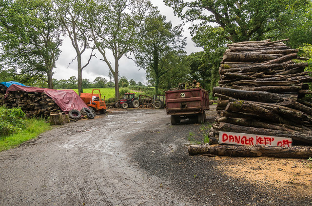
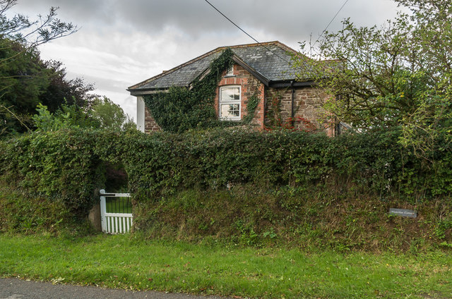
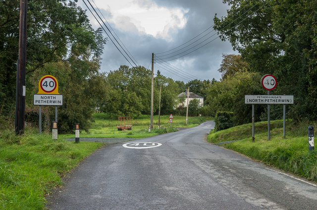
Newhedges Wood Images

Images are sourced within 2km of 50.671495/-4.4566798 or Grid Reference SX2688. Thanks to Geograph Open Source API. All images are credited.

Lane heading to North Petherwin Lane at junction heading to North Petherwin
Lane heading to North Petherwin
Lane at junction heading to North Petherwin
Towards the Caudworthy Water valley A muddy field entrance by the lane from Penrose Green to Trossell. The road climbing away on the left is heading for Billacott.
Towards the Caudworthy Water valley
A muddy field entrance by the lane from Penrose Green to Trossell. The road climbing away on the left is heading for Billacott.
Field near Trillacott Seen from the lane from Winnacott.
Field near Trillacott
Seen from the lane from Winnacott.
Road fork northwest of North Petherwin The main lane left is for Brazacott; the right fork narrowly misses the village on the east, heading for Copthorne.
Road fork northwest of North Petherwin
The main lane left is for Brazacott; the right fork narrowly misses the village on the east, heading for Copthorne.
Caudworthy Water valley From the same gateway as <a href="https://www.geograph.org.uk/photo/4390078">SX2590 : Towards the Caudworthy Water valley</a>, looking to the right. The farm across the valley is Winnacott; the grade II* farmhouse, to the left, dates from the C16 and C17 and is described at <span class="nowrap"><a title="http://list.historicengland.org.uk/resultsingle.aspx?uid=1160463&searchtype=mapsearch" rel="nofollow ugc noopener" href="http://list.historicengland.org.uk/resultsingle.aspx?uid=1160463&searchtype=mapsearch">Link</a><img style="margin-left:2px;" alt="External link" title="External link - shift click to open in new window" src="https://s1.geograph.org.uk/img/external.png" width="10" height="10"/></span> .
Caudworthy Water valley
From the same gateway as SX2590 : Towards the Caudworthy Water valley, looking to the right. The farm across the valley is Winnacott; the grade II* farmhouse, to the left, dates from the C16 and C17 and is described at LinkExternal link .
North Petherwin: near Winnacott Looking north
North Petherwin: near Winnacott
Looking north
North Petherwin: south from Brazacott Looking north-north-west. The lane on the right leads to Copthorne. Late afternoon light, October 2007
North Petherwin: south from Brazacott
Looking north-north-west. The lane on the right leads to Copthorne. Late afternoon light, October 2007
Penrose Ford The ford at Penrose has water level monitoring equipment on both sides of the road.
Penrose Ford
The ford at Penrose has water level monitoring equipment on both sides of the road.
Ford at Penheale This ford on the River Ottery is found at Penheale.
Ford at Penheale
This ford on the River Ottery is found at Penheale.
Ford at Coombekeale This ford is found beyond the wood yard at Coombekeale.
Ford at Coombekeale
This ford is found beyond the wood yard at Coombekeale.
Coombekeale Early 18th Century grade II listed farmhouse - see <span class="nowrap"><a title="www.historicengland.org.uk/listing/the-list/list-entry/1159941" rel="nofollow ugc noopener" href="http://www.historicengland.org.uk/listing/the-list/list-entry/1159941">Link</a><img style="margin-left:2px;" alt="External link" title="External link - shift click to open in new window" src="https://s1.geograph.org.uk/img/external.png" width="10" height="10"/></span>.
Coombekeale
Early 18th Century grade II listed farmhouse - see LinkExternal link.
Coombekeale Farm buildings at Coombekeale.
Coombekeale
Farm buildings at Coombekeale.
Timber stacks Timber stacks south of Coombeleake.
Timber stacks
Timber stacks south of Coombeleake.
Coombekeale Plantation Lane to Coombekeale through Coombekeale Plantation.
Coombekeale Plantation
Lane to Coombekeale through Coombekeale Plantation.
South of Hellescott Looking along the lane that connects North Petherwin with Egloskerry.
South of Hellescott
Looking along the lane that connects North Petherwin with Egloskerry.
Waterloo Cottage Cottage south of Hellescott.
Waterloo Cottage
Cottage south of Hellescott.
Entering North Petherwin Entering North Petherwin from the south.   The right hand sign refers to Petherwin Gate, which is the southern section of the village; in fact the hamlet immediately beyond the signs is Hellescott.
Entering North Petherwin
Entering North Petherwin from the south. The right hand sign refers to Petherwin Gate, which is the southern section of the village; in fact the hamlet immediately beyond the signs is Hellescott.
Hellescott Cottage Former farmhouse.  Grade II listed - see <span class="nowrap"><a title="www.historicengland.org.uk/listing/the-list/list-entry/1328031" rel="nofollow ugc noopener" href="http://www.historicengland.org.uk/listing/the-list/list-entry/1328031">Link</a><img style="margin-left:2px;" alt="External link" title="External link - shift click to open in new window" src="https://s1.geograph.org.uk/img/external.png" width="10" height="10"/></span>.
Hellescott Cottage
Former farmhouse. Grade II listed - see LinkExternal link.
Show me another place!

Newhedges Wood is located at Grid Ref: SX2688 (Lat: 50.671495, Lng: -4.4566798)

Unitary Authority: Cornwall

Police Authority: Devon and Cornwall

What 3 Words

///webcams.puzzles.firm. Near Boyton, Cornwall

Related Wikis

Penheale Manor

Penheale Manor is a Grade I listed manor house and historic building one mile north of Egloskerry, Cornwall. == History == The manor was mentioned as...

Trebeath

Trebeath is a hamlet in the parish of Egloskerry, Cornwall, England, United Kingdom. == References == == External links == Media related to Trebeath at...

Petherwin Gate

Petherwin Gate is a hamlet in Cornwall, England. It is about half a mile south of North Petherwin. == References ==

North Petherwin

North Petherwin (Cornish: Paderwynn Gledh) is a civil parish and village in the historic county of Devon and the ceremonial county of Cornwall, England...

Have you been to Newhedges Wood?

Leave your review of Newhedges Wood below (or comments, questions and feedback).