Penheale Manor

Heritage Site in Cornwall

England

Penheale Manor

Lane heading to North Petherwin Lane at junction heading to North Petherwin
Lane heading to North Petherwin Credit: Shaun Ferguson

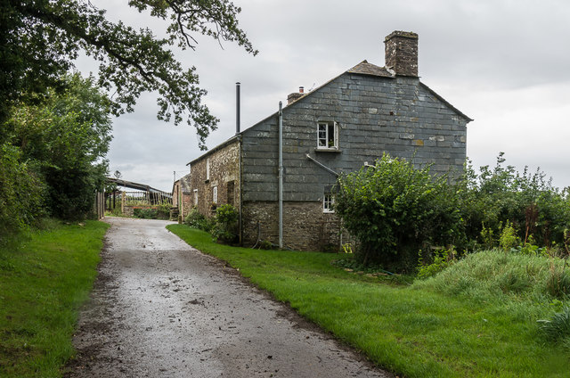
Penheale Manor, located in Cornwall, is a historic manor house that dates back to the 15th century. This Grade II listed building is a fine example of medieval architecture, with its distinctive granite stone walls and slate roof. The manor is situated within a beautiful rural setting, surrounded by lush gardens and rolling countryside.

Throughout its long history, Penheale Manor has been home to various prominent families and has seen many renovations and additions. The interiors of the manor are richly decorated with period features, including intricate plasterwork, grand fireplaces, and oak paneling. The manor also features a stunning great hall, a library, and several bedrooms with en-suite bathrooms.

In addition to its architectural significance, Penheale Manor also has historical importance, with connections to important figures and events in Cornwall's past. The manor is now a popular heritage site, open to the public for tours and events. Visitors can explore the grounds, learn about the manor's history, and experience the grandeur of this ancient building firsthand.

If you have any feedback on the listing, please let us know in the comments section below.

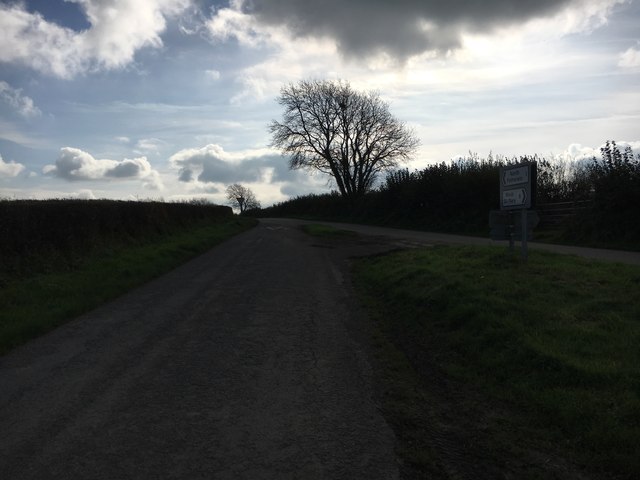
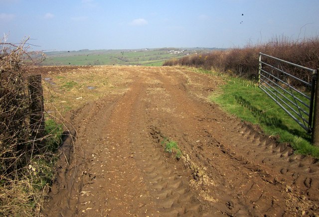
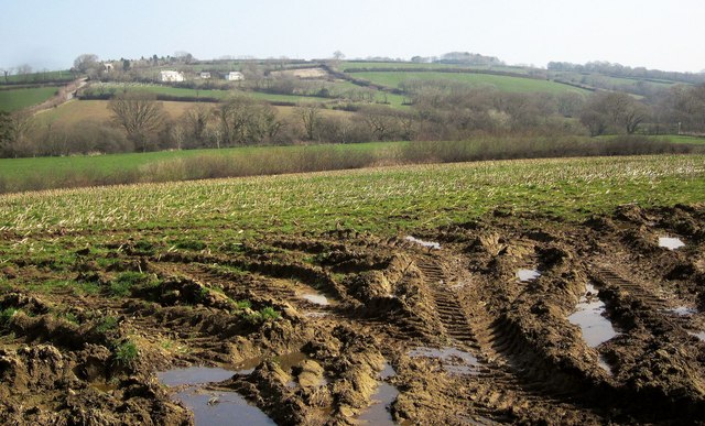
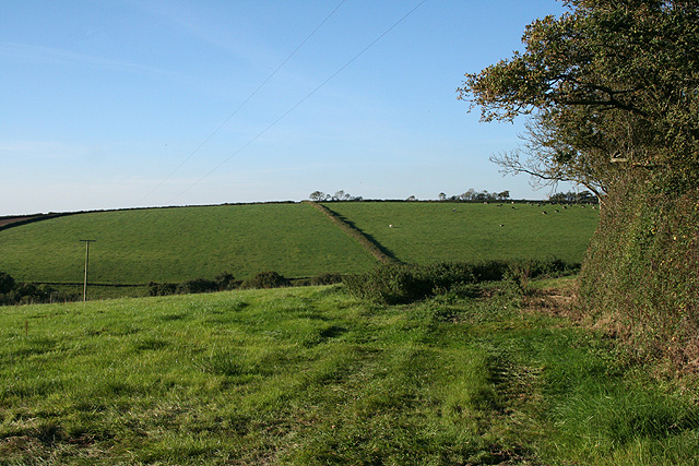
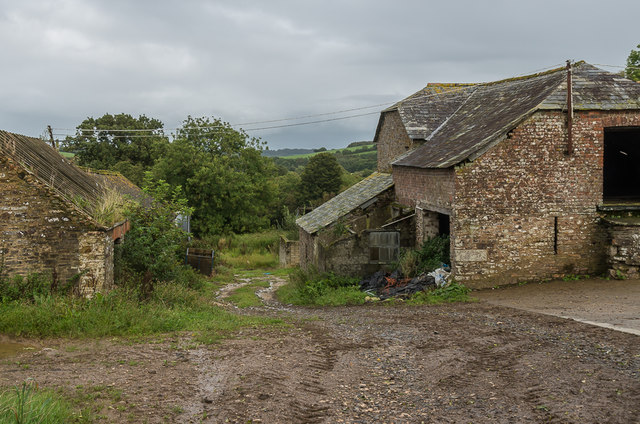
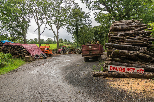
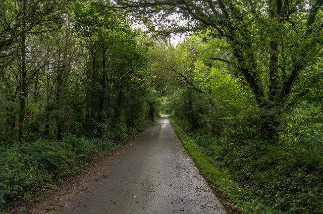
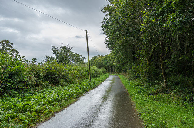
Penheale Manor Images

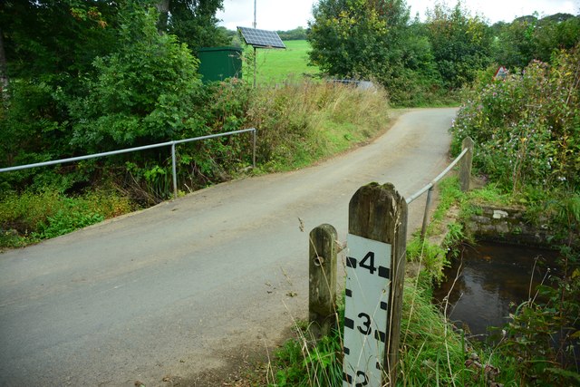
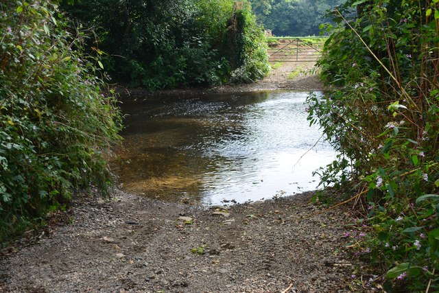
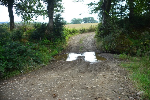
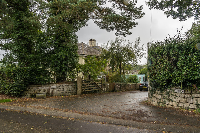
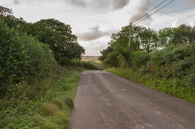
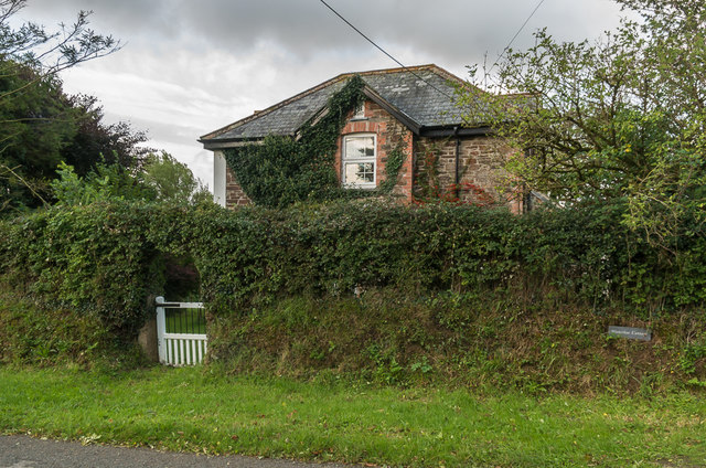
Images are sourced within 2km of 50.67/-4.455 or Grid Reference SX2688. Thanks to Geograph Open Source API. All images are credited.

Lane heading to North Petherwin Lane at junction heading to North Petherwin
Lane heading to North Petherwin
Lane at junction heading to North Petherwin
Field near Trillacott Seen from the lane from Winnacott.
Field near Trillacott
Seen from the lane from Winnacott.
Road fork northwest of North Petherwin The main lane left is for Brazacott; the right fork narrowly misses the village on the east, heading for Copthorne.
Road fork northwest of North Petherwin
The main lane left is for Brazacott; the right fork narrowly misses the village on the east, heading for Copthorne.
Caudworthy Water valley From the same gateway as <a href="https://www.geograph.org.uk/photo/4390078">SX2590 : Towards the Caudworthy Water valley</a>, looking to the right. The farm across the valley is Winnacott; the grade II* farmhouse, to the left, dates from the C16 and C17 and is described at <span class="nowrap"><a title="http://list.historicengland.org.uk/resultsingle.aspx?uid=1160463&searchtype=mapsearch" rel="nofollow ugc noopener" href="http://list.historicengland.org.uk/resultsingle.aspx?uid=1160463&searchtype=mapsearch">Link</a><img style="margin-left:2px;" alt="External link" title="External link - shift click to open in new window" src="https://s1.geograph.org.uk/img/external.png" width="10" height="10"/></span> .
Caudworthy Water valley
From the same gateway as SX2590 : Towards the Caudworthy Water valley, looking to the right. The farm across the valley is Winnacott; the grade II* farmhouse, to the left, dates from the C16 and C17 and is described at LinkExternal link .
North Petherwin: near Winnacott Looking north
North Petherwin: near Winnacott
Looking north
North Petherwin: south from Brazacott Looking north-north-west. The lane on the right leads to Copthorne. Late afternoon light, October 2007
North Petherwin: south from Brazacott
Looking north-north-west. The lane on the right leads to Copthorne. Late afternoon light, October 2007
Penrose Ford The ford at Penrose has water level monitoring equipment on both sides of the road.
Penrose Ford
The ford at Penrose has water level monitoring equipment on both sides of the road.
Ford at Penheale This ford on the River Ottery is found at Penheale.
Ford at Penheale
This ford on the River Ottery is found at Penheale.
Ford at Coombekeale This ford is found beyond the wood yard at Coombekeale.
Ford at Coombekeale
This ford is found beyond the wood yard at Coombekeale.
Coombekeale Early 18th Century grade II listed farmhouse - see <span class="nowrap"><a title="www.historicengland.org.uk/listing/the-list/list-entry/1159941" rel="nofollow ugc noopener" href="http://www.historicengland.org.uk/listing/the-list/list-entry/1159941">Link</a><img style="margin-left:2px;" alt="External link" title="External link - shift click to open in new window" src="https://s1.geograph.org.uk/img/external.png" width="10" height="10"/></span>.
Coombekeale
Early 18th Century grade II listed farmhouse - see LinkExternal link.
Coombekeale Farm buildings at Coombekeale.
Coombekeale
Farm buildings at Coombekeale.
Timber stacks Timber stacks south of Coombeleake.
Timber stacks
Timber stacks south of Coombeleake.
Coombekeale Plantation Lane to Coombekeale through Coombekeale Plantation.
Coombekeale Plantation
Lane to Coombekeale through Coombekeale Plantation.
Coombekeale Plantation Lane to Coombekeale passing Coombekeale Plantation.
Coombekeale Plantation
Lane to Coombekeale passing Coombekeale Plantation.
Waterloo Farm Entrance to Waterloo Farm off the lane form Egloskerry to North Petherwin.
Waterloo Farm
Entrance to Waterloo Farm off the lane form Egloskerry to North Petherwin.
Waterloo Farmhouse Farmhouse on the lane from Egloskerry to North Petherwin.
Waterloo Farmhouse
Farmhouse on the lane from Egloskerry to North Petherwin.
South of Hellescott Looking along the lane that connects North Petherwin with Egloskerry.
South of Hellescott
Looking along the lane that connects North Petherwin with Egloskerry.
Waterloo Cottage Cottage south of Hellescott.
Waterloo Cottage
Cottage south of Hellescott.
Show me another place!

Penheale Manor is located at Grid Ref: SX2688 (Lat: 50.67, Lng: -4.455)

Unitary Authority: Cornwall

Police Authority: Devon and Cornwall

What 3 Words

///salaried.stopped.comet. Near Trewen, Cornwall

Related Wikis

Penheale Manor

Penheale Manor is a Grade I listed manor house and historic building one mile north of Egloskerry, Cornwall. == History == The manor was mentioned as...

Trebeath

Trebeath is a hamlet in the parish of Egloskerry, Cornwall, England, United Kingdom. == References == == External links == Media related to Trebeath at...

Petherwin Gate

Petherwin Gate is a hamlet in Cornwall, England. It is about half a mile south of North Petherwin. == References ==

Egloskerry

Egloskerry (Cornish: Egloskeri) is a village and civil parish in east Cornwall, England, United Kingdom. It is situated approximately five miles (8.0 km...

Nearby Amenities

Located within 500m of 50.67,-4.455
Penheale Barton
Place: isolated_dwelling
Lat/Long: 50.6673022/-4.4529034
The data included in this document is from www.openstreetmap.org. The data is made available under ODbL.

Have you been to Penheale Manor?

Leave your review of Penheale Manor below (or comments, questions and feedback).