Benoak Wood
Wood, Forest in Cornwall
England
Benoak Wood
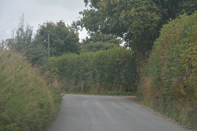
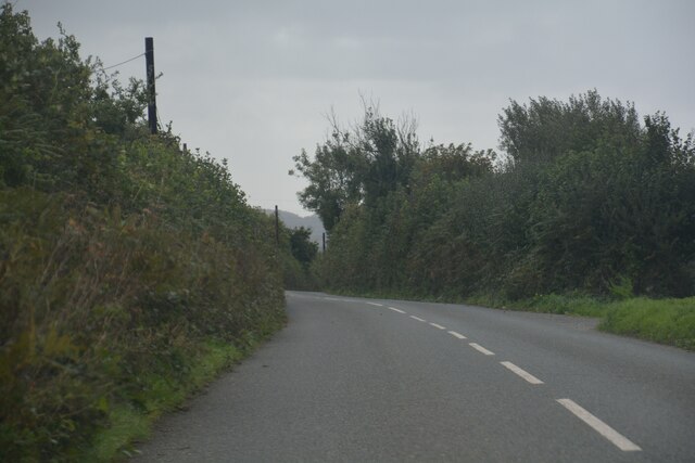
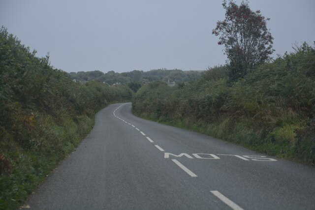
Benoak Wood, located in Cornwall, England, is a picturesque forest that spans across an area of approximately 100 acres. It is known for its diverse range of trees and abundant wildlife, making it a popular destination for nature lovers and outdoor enthusiasts.
The woodland is predominantly made up of native broadleaf trees, such as oak, beech, and ash, which create a dense canopy, providing shade and shelter for the various species that call this forest their home. The forest floor is adorned with a carpet of vibrant bluebells during the spring, creating a breathtaking sight for visitors.
Benoak Wood offers a network of well-marked trails that wind through the forest, allowing visitors to explore its beauty at their own pace. These paths lead to tranquil glades, hidden ponds, and picturesque viewpoints, providing ample opportunities for photography and peaceful contemplation.
The forest is teeming with wildlife, including deer, foxes, badgers, and a wide variety of bird species. Birdwatchers can spot woodpeckers, owls, and various songbirds throughout the year. The presence of a small river running through the wood also attracts a diverse range of aquatic species, adding to the biodiversity of the area.
Benoak Wood is carefully managed by local conservationists who ensure its preservation and protection. Visitors are encouraged to respect the natural environment and adhere to the designated trails to minimize disruption to the wildlife and vegetation.
In summary, Benoak Wood in Cornwall is a stunning forest that offers a tranquil escape into nature. With its diverse flora and fauna, well-maintained trails, and a serene ambiance, it is an idyllic destination for those seeking solace and an opportunity to connect with the natural world.
If you have any feedback on the listing, please let us know in the comments section below.
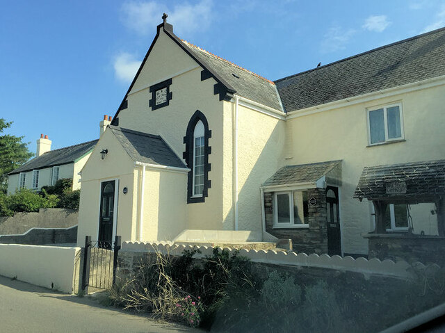
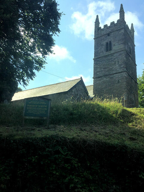
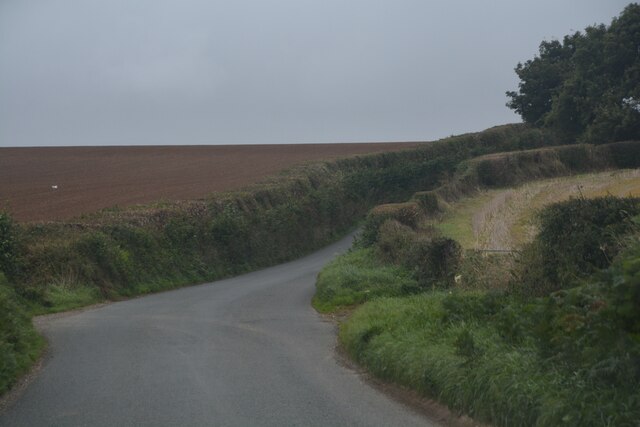
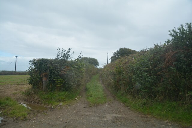
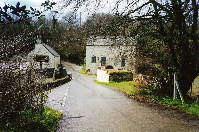
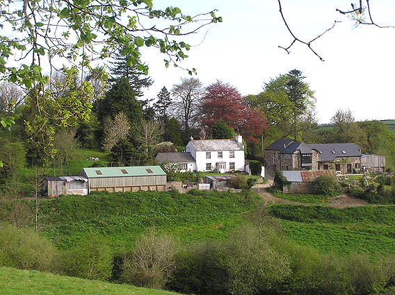
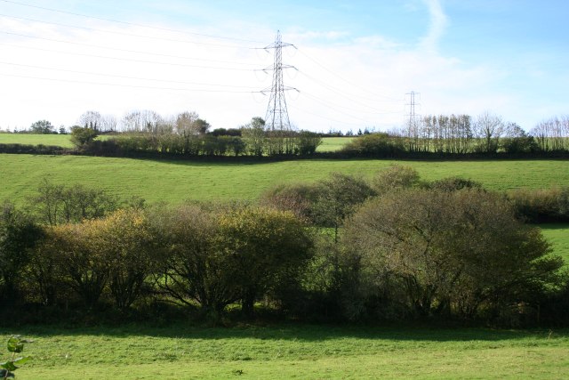
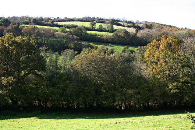
Benoak Wood Images
Images are sourced within 2km of 50.417892/-4.4784286 or Grid Reference SX2460. Thanks to Geograph Open Source API. All images are credited.


Benoak Wood is located at Grid Ref: SX2460 (Lat: 50.417892, Lng: -4.4784286)
Unitary Authority: Cornwall
Police Authority: Devon and Cornwall
What 3 Words
///menswear.tweaked.smart. Near Duloe, Cornwall
Nearby Locations
Related Wikis

St Keyne
St Keyne (Cornish: Sen Keyn) is a village in the civil parish of St Keyne and Trewidland, in east Cornwall, England, United Kingdom. The parish lies between...

Bodbrane
Bodbrane is an ancient farmstead hamlet in southeast Cornwall, England, United Kingdom. It is situated about three miles (5 km) south of Liskeard in the...

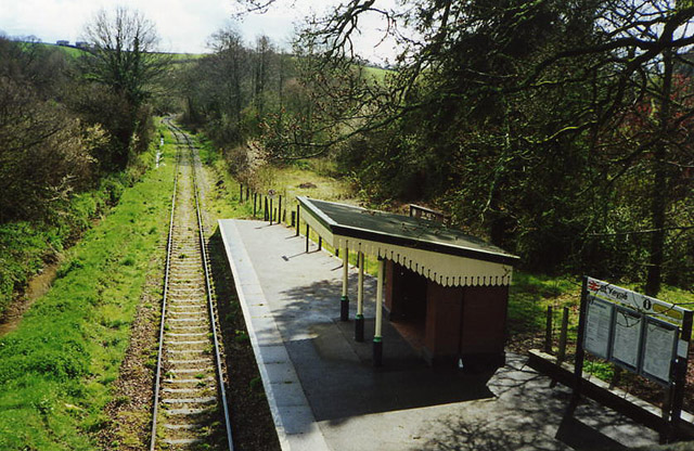
St Keyne Wishing Well Halt railway station
St Keyne Wishing Well Halt railway station (Cornish: Gorta Fenten Geyn) is an intermediate station on the scenic Looe Valley Line in Cornwall, England...

Causeland railway station
Causeland railway station (Cornish: Tir an Bughes) is an intermediate station 5 miles (8.0 km) south of Liskeard on the scenic Looe Valley Line in Cornwall...
Nearby Amenities
Located within 500m of 50.417892,-4.4784286Have you been to Benoak Wood?
Leave your review of Benoak Wood below (or comments, questions and feedback).