St. Keyne
Civil Parish in Cornwall
England
St. Keyne
St. Keyne is a civil parish located in the county of Cornwall, in the southwestern part of England. It is situated about 6 miles east of the town of Liskeard and covers an area of approximately 8 square miles. The parish is named after the village of St. Keyne, which is its main settlement.
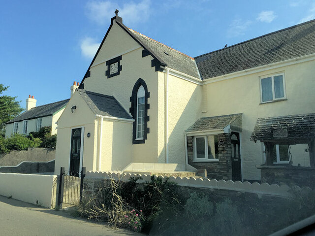
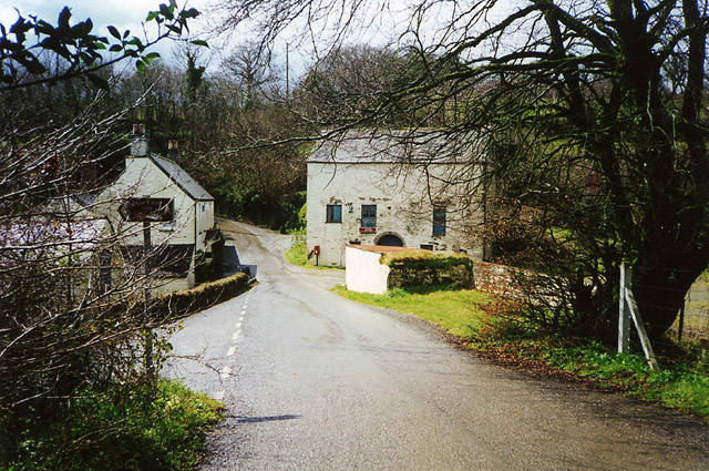
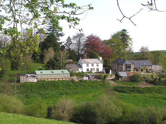
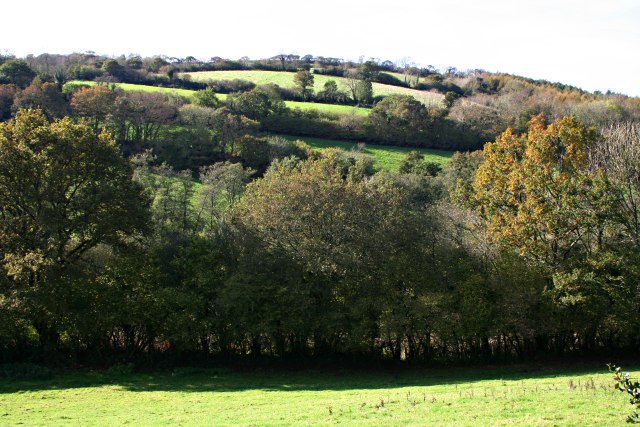
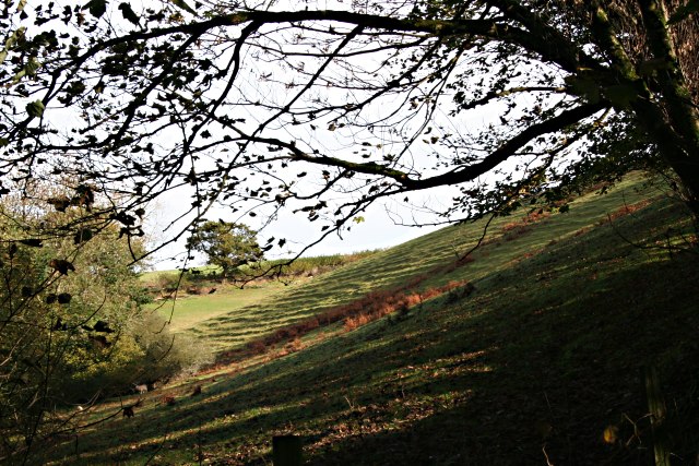
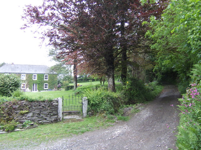
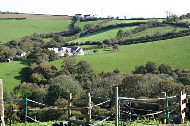
St. Keyne is a rural area characterized by its picturesque landscapes and rolling hills. It is surrounded by lush green fields and dotted with charming cottages and farmhouses. The parish is known for its rich agricultural heritage, with farming being an important economic activity in the area.
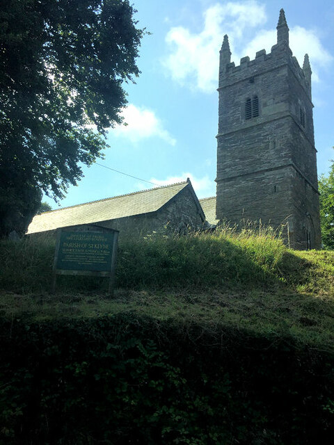
One of the notable features of St. Keyne is the St. Keyne Holy Well, which is believed to have healing powers. The well is said to have been visited by pilgrims for centuries, seeking cures for various ailments. The nearby St. Keyne Church, which dates back to the 15th century, also attracts visitors with its historic architecture and tranquil atmosphere.
In terms of amenities, St. Keyne has a village hall that serves as a community center for various events and gatherings. It also has a primary school, providing education for local children.
St. Keyne is well-connected to other parts of Cornwall and beyond by road, with the A38 passing through the parish. The nearest railway station is in Liskeard, providing convenient transportation links to nearby towns and cities.
Overall, St. Keyne offers a peaceful and rural setting, making it an ideal place for those seeking a quiet countryside retreat.
If you have any feedback on the listing, please let us know in the comments section below.
St. Keyne Images
Images are sourced within 2km of 50.416994/-4.468038 or Grid Reference SX2460. Thanks to Geograph Open Source API. All images are credited.


St. Keyne is located at Grid Ref: SX2460 (Lat: 50.416994, Lng: -4.468038)
Unitary Authority: Cornwall
Police Authority: Devon & Cornwall
What 3 Words
///noodle.simulations.depended. Near Duloe, Cornwall
Nearby Locations
Related Wikis

St Keyne
St Keyne (Cornish: Sen Keyn) is a village in the civil parish of St Keyne and Trewidland, in east Cornwall, England, United Kingdom. The parish lies between...

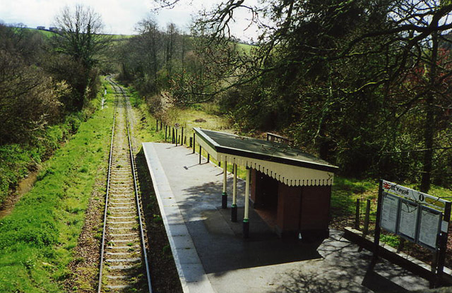
St Keyne Wishing Well Halt railway station
St Keyne Wishing Well Halt railway station (Cornish: Gorta Fenten Geyn) is an intermediate station on the scenic Looe Valley Line in Cornwall, England...
Trewidland
Trewidland (Cornish: Trewythelan) is a hamlet in the civil parish of St Keyne and Trewidland, in east Cornwall, England. It is about two miles northeast...

Causeland railway station
Causeland railway station (Cornish: Tir an Bughes) is an intermediate station 5 miles (8.0 km) south of Liskeard on the scenic Looe Valley Line in Cornwall...
Nearby Amenities
Located within 500m of 50.416994,-4.468038Have you been to St. Keyne?
Leave your review of St. Keyne below (or comments, questions and feedback).