Jubilee Park
Downs, Moorland in Cornwall
England
Jubilee Park
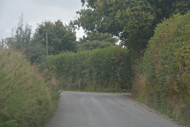
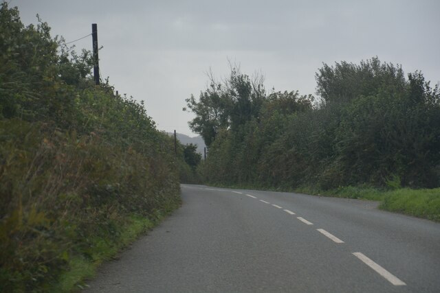
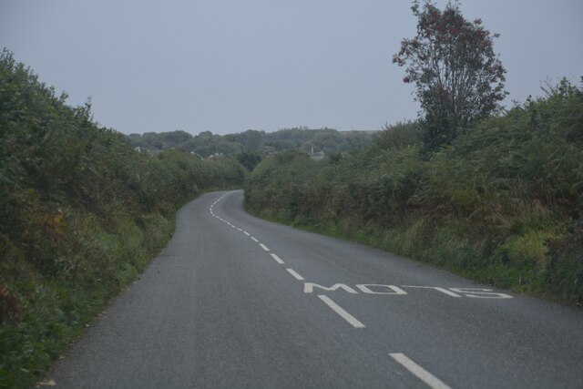
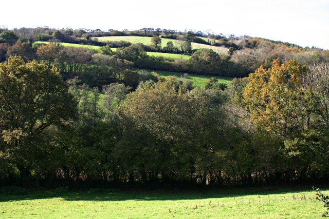
Jubilee Park, located in Cornwall, England, is a picturesque and expansive parkland that encompasses both downs and moorland. Covering an area of approximately 500 acres, the park offers visitors a diverse range of landscapes, flora, and fauna to explore.
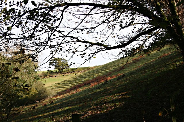
The downs of Jubilee Park are characterized by gently rolling hills and open grasslands. These areas provide visitors with breathtaking panoramic views of the surrounding countryside, including the nearby coastline. The downs are a haven for wildlife, and visitors can often spot a variety of bird species, as well as rabbits, foxes, and even deer.
In contrast, the moorland section of Jubilee Park offers a more rugged and wild experience. Here, visitors can immerse themselves in the untamed beauty of the moors, with their heather-covered hills, rocky outcrops, and bubbling streams. The moorland is home to a diverse range of plants and animals, including rare species such as the Cornish chough and the adder.
Jubilee Park also boasts several well-maintained walking trails, allowing visitors to explore the park at their own pace. These trails cater to all levels of fitness and offer a range of distances, from short strolls to longer hikes. Along the way, walkers can enjoy the tranquility of the park and discover hidden gems such as ancient stone circles and burial mounds.
Overall, Jubilee Park in Cornwall offers nature enthusiasts and outdoor lovers a stunning and diverse landscape to discover. With its downs, moorland, and abundant wildlife, the park provides a unique and memorable experience for visitors of all ages.
If you have any feedback on the listing, please let us know in the comments section below.
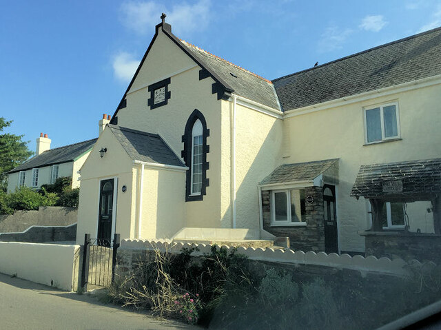
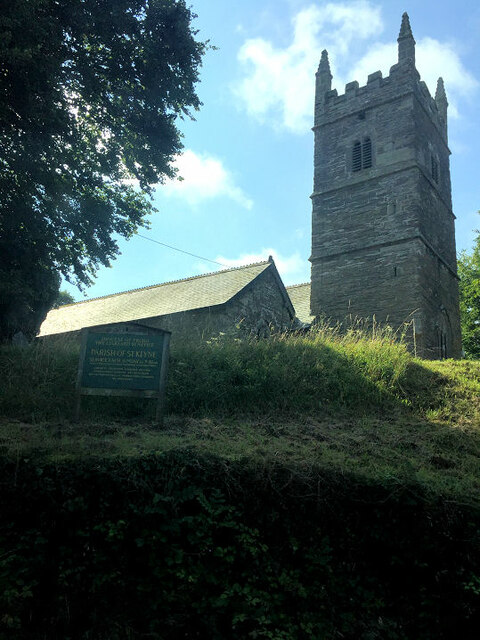
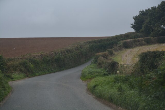
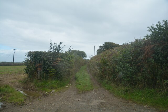
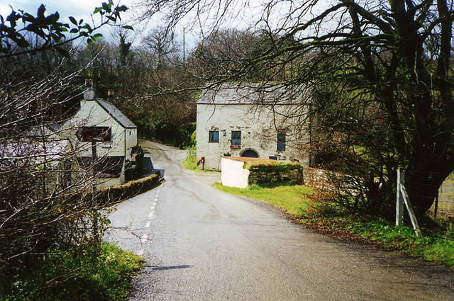
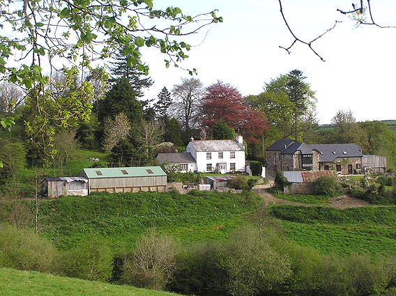
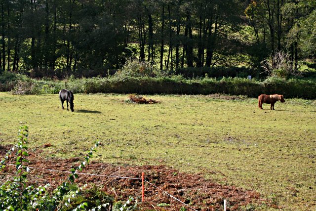
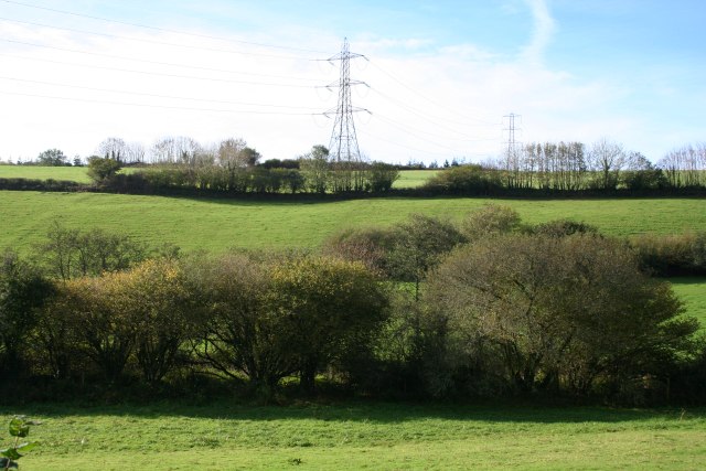
Jubilee Park Images
Images are sourced within 2km of 50.422241/-4.4786275 or Grid Reference SX2460. Thanks to Geograph Open Source API. All images are credited.


Jubilee Park is located at Grid Ref: SX2460 (Lat: 50.422241, Lng: -4.4786275)
Unitary Authority: Cornwall
Police Authority: Devon and Cornwall
What 3 Words
///haystack.leave.fries. Near Liskeard, Cornwall
Nearby Locations
Related Wikis

St Keyne
St Keyne (Cornish: Sen Keyn) is a village in the civil parish of St Keyne and Trewidland, in east Cornwall, England, United Kingdom. The parish lies between...

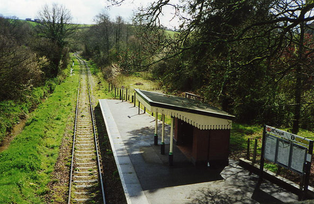
St Keyne Wishing Well Halt railway station
St Keyne Wishing Well Halt railway station (Cornish: Gorta Fenten Geyn) is an intermediate station on the scenic Looe Valley Line in Cornwall, England...

Bodbrane
Bodbrane is an ancient farmstead hamlet in southeast Cornwall, England, United Kingdom. It is situated about three miles (5 km) south of Liskeard in the...

Liskeard Rural District
Liskeard Rural District was a local government division of Cornwall in England, UK, between 1894 and 1974. Established under the Local Government Act 1894...
Nearby Amenities
Located within 500m of 50.422241,-4.4786275Have you been to Jubilee Park?
Leave your review of Jubilee Park below (or comments, questions and feedback).