Whalesborough Wood

Wood, Forest in Cornwall

England

Whalesborough Wood

Beach House Hotel and Surf School On the dunes north of Widemouth Bay,
Beach House Hotel and Surf School Credit: David Martin

Whalesborough Wood is a picturesque woodland located in Cornwall, England. Situated near the village of Bude, it covers an area of approximately 100 acres, making it a significant natural treasure in the region. This enchanting forest is nestled amidst the rolling hills and lush green countryside, providing a serene and tranquil atmosphere for visitors to immerse themselves in nature.

The woodland is characterized by its diverse range of trees, including oak, beech, and ash, which create a dense canopy and offer a haven for various wildlife species. As visitors explore the wood, they may encounter a plethora of flora and fauna, such as bluebells, wood anemones, and even red squirrels.

Whalesborough Wood is also home to a network of walking trails, allowing visitors to explore its beauty at their own pace. These well-marked paths wind through the forest, meandering along bubbling streams and ancient stone walls, providing a sense of adventure and discovery.

For nature enthusiasts, Whalesborough Wood offers a unique opportunity to observe and appreciate the local wildlife. Birdwatchers can catch glimpses of rare species, including the elusive nightjar and the vibrant kingfisher. Additionally, the woodland provides a habitat for numerous mammals, such as badgers, foxes, and even the occasional deer.

Whether for a leisurely stroll, wildlife observation, or simply to escape the hustle and bustle of daily life, Whalesborough Wood is a cherished natural gem that offers a respite from the outside world. With its breathtaking scenery and abundant wildlife, it is a must-visit destination for anyone seeking a tranquil and immersive experience in the heart of Cornwall.

If you have any feedback on the listing, please let us know in the comments section below.

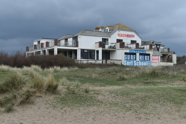
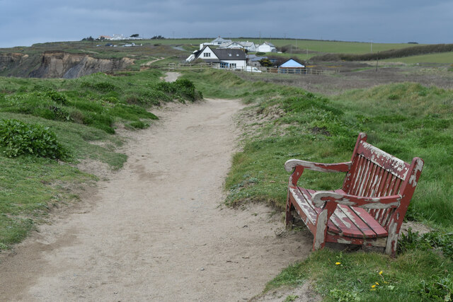
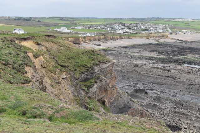
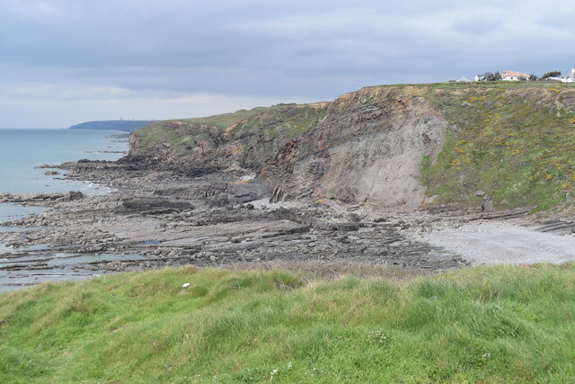
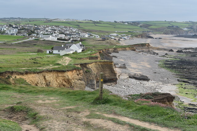
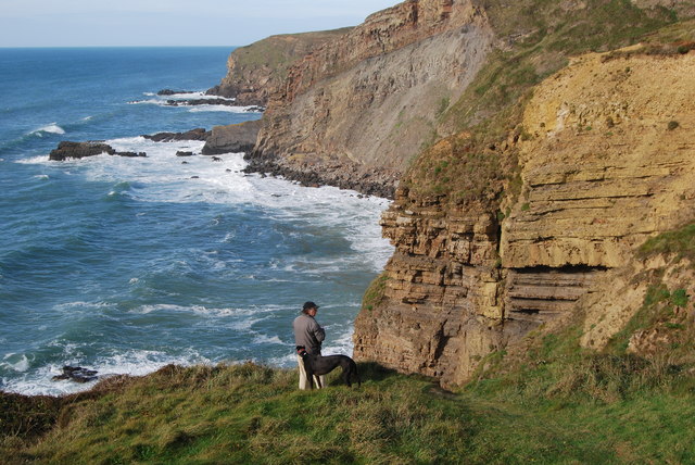
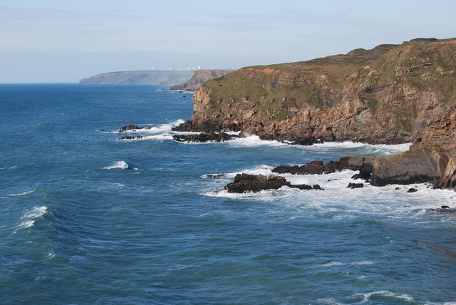
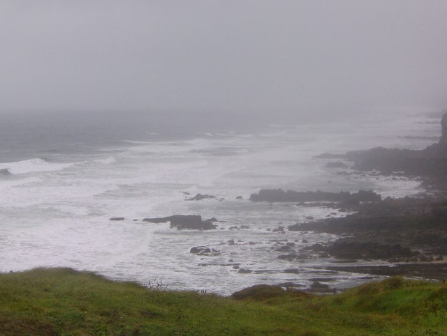
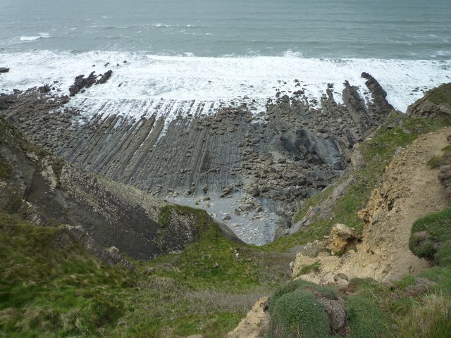
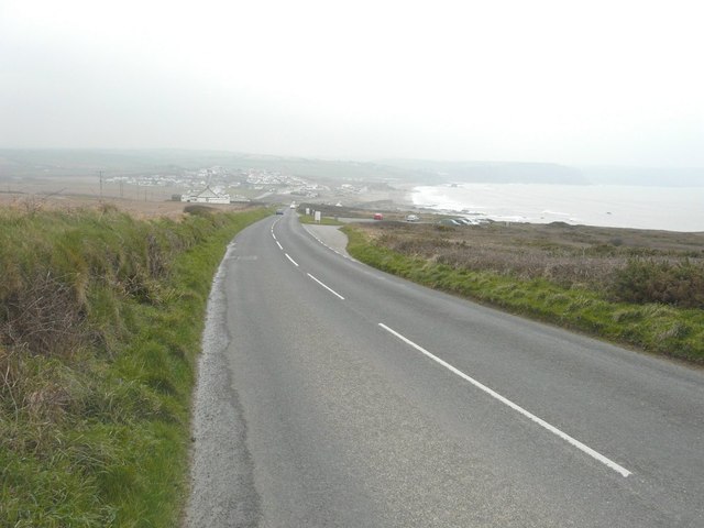
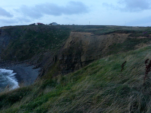
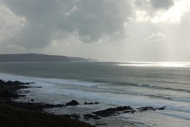
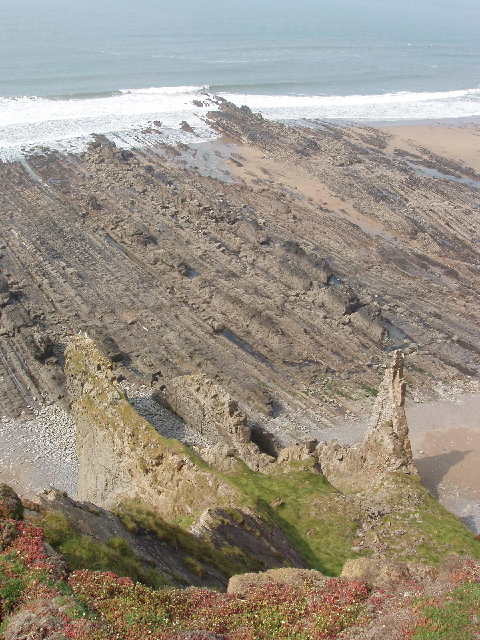
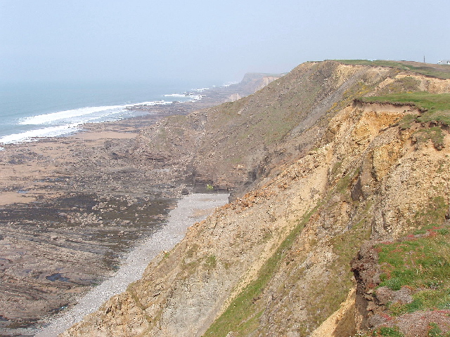
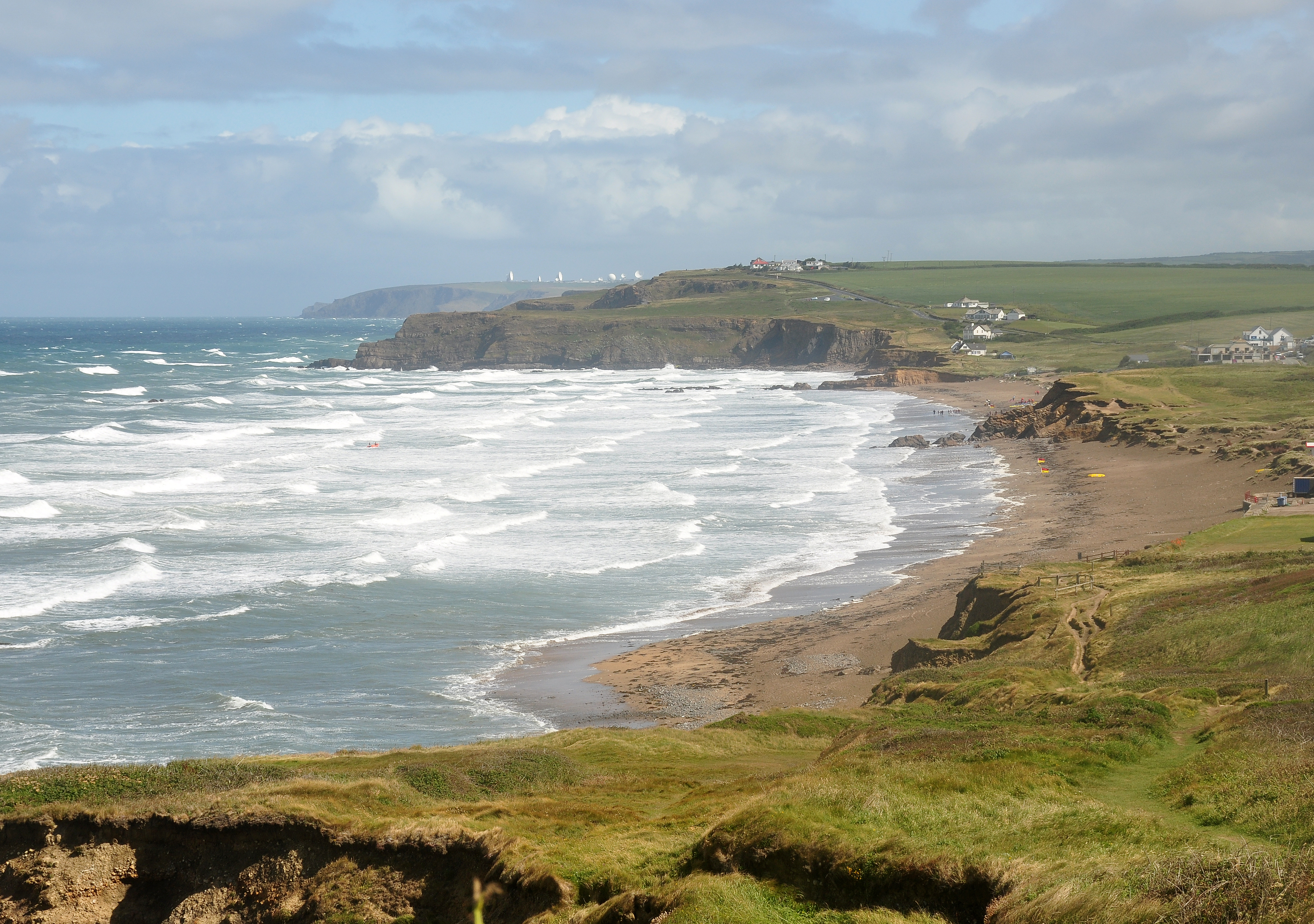
Whalesborough Wood Images

Images are sourced within 2km of 50.808026/-4.537837 or Grid Reference SS2104. Thanks to Geograph Open Source API. All images are credited.

Beach House Hotel and Surf School On the dunes north of Widemouth Bay,
Beach House Hotel and Surf School
On the dunes north of Widemouth Bay,
Seat on the coastal path near Salthouse
Cliff at Lower Longbeak, with view to Widemouth Bay
Cliffs and shore north of Lower Longbeak
Coast at Salthouse, from the coastal path The settlement in the distance is Widemouth Bay.
Coast at Salthouse, from the coastal path
The settlement in the distance is Widemouth Bay.
On Lower Longbeak, near Widemouth Bay, looking back up the coast northwards
From Lower Longbeak, looking back up the coast to past Bude and the listening station beyond
Rough sea at Widemouth Bay Climbing to the viewpoint at Lower Longbeak, provided this view of the rocks
looking towards Bude. The wind was running close to a gale, spray rising up and
the waves too messy for surfing, or much else for that matter. Keeping the camera
still proved difficult, keeping oneself still was hard enough. As someone pointed
out, there is nothing to stop the wind between here and New York.
Rough sea at Widemouth Bay
Climbing to the viewpoint at Lower Longbeak, provided this view of the rocks looking towards Bude. The wind was running close to a gale, spray rising up and the waves too messy for surfing, or much else for that matter. Keeping the camera still proved difficult, keeping oneself still was hard enough. As someone pointed out, there is nothing to stop the wind between here and New York.
Coast between Lower Longbeak and Higher Longbeak
Rocky Foreshore Rocky foreshore below Upton
Rocky Foreshore
Rocky foreshore below Upton
Higher Longbeak From Lower Longbeak cliff looking North to Higher Longbeak
Higher Longbeak
From Lower Longbeak cliff looking North to Higher Longbeak
Carpark overlooking Widemouth Bay Accessed from Marine Drive, there is no charge for parking.
Carpark overlooking Widemouth Bay
Accessed from Marine Drive, there is no charge for parking.
Rock layers In the fading light of day, exposed rock layers seen between Lower Longbeak and Higher Longbeak, near Bude.
Rock layers
In the fading light of day, exposed rock layers seen between Lower Longbeak and Higher Longbeak, near Bude.
Coast South of Bude The rocky coast between Bude and Widemouth, from Efford Beacon. Quite a lot of this is probably in <a href="https://www.geograph.org.uk/gridref/SS1904">SS1904</a>
Coast South of Bude
The rocky coast between Bude and Widemouth, from Efford Beacon. Quite a lot of this is probably in SS1904
Coastal Scene Looking south from the western side of the square.
Coastal Scene
Looking south from the western side of the square.
Widemouth Sand A view from the next square to the north.
Widemouth Sand
A view from the next square to the north.
Wave-cut platform below Phillips Point Near Bude the vertical dipping rocks are exposed as a wave-cut platform. View from cliff top.
Wave-cut platform below Phillips Point
Near Bude the vertical dipping rocks are exposed as a wave-cut platform. View from cliff top.
Phillip's Point, beach and cliffs View from the cliff edge by the coast path. The Cornwall Wildlife Trust  describes their reserve here as "Magnificent vertical and slumping high cliffs with spectacular views to Hartland Point and Widemouth."
Phillip's Point, beach and cliffs
View from the cliff edge by the coast path. The Cornwall Wildlife Trust describes their reserve here as "Magnificent vertical and slumping high cliffs with spectacular views to Hartland Point and Widemouth."
Show me another place!

Whalesborough Wood is located at Grid Ref: SS2104 (Lat: 50.808026, Lng: -4.537837)

Unitary Authority: Cornwall

Police Authority: Devon and Cornwall

What 3 Words

///users.departure.grounding. Near Bude, Cornwall

Related Wikis

Helebridge

Helebridge is a hamlet west of Marhamchurch (where the 2011 census population was included ) in northeast Cornwall, England. == References ==

Marhamchurch

Marhamchurch (Cornish: Eglosvarwenn) is a civil parish and village in north Cornwall, England, United Kingdom. Marhamchurch village is situated 1+1⁄2 miles...

Lower and Higher Longbeak barrows

The Lower and Higher Longbeak barrows (also known as the Widemouth Bay tumulus) are a scheduled monument located north of Widemouth Bay in Cornwall. The...

Helscott

Helscott is a hamlet southwest of Marhamchurch in north Cornwall, England. It is on the A39 road and nearby to the east is East Helscott. According to...

Nearby Amenities

Located within 500m of 50.808026,-4.537837
Post Box
Operator: Royal Mail
Operator Wikidata: Q638098
Ref: EX23 2
Lat/Long: 50.8047029/-4.5330376
Bus Stop
Helebridge Bridge
Bus: yes
Naptan AtcoCode: 0800COA10131
Naptan Bearing: N
Naptan CommonName: Helebridge Bridge
Naptan Crossing: Helebridge Road
Naptan NaptanCode: cordpjmg
Naptan Street: Hele Road
Naptan Verified: no
Public Transport: platform
Source: naptan_import
Lat/Long: 50.8047694/-4.5339791
Toilets
Lat/Long: 50.8050906/-4.5371236
Restaurant
the Weir
Url: http://www.weir-restaurant-bude.co.uk/
Lat/Long: 50.8051669/-4.5370431
Bench
Lat/Long: 50.809318/-4.5376429
Waterway: weir
Lat/Long: 50.8065272/-4.5366889
Tourism: information
Lat/Long: 50.8052563/-4.5349145
Tourism: information
Lat/Long: 50.8042245/-4.5359483
Helebridge
Place: locality
Wikidata: Q15058891
Lat/Long: 50.8052777/-4.5341891
Seamark Type: gate
Waterway: lock_gate
Lat/Long: 50.8101016/-4.537945
Parking
Capacity: 10
Fee: no
Park Ride: no
Parking: surface
Supervised: no
Lat/Long: 50.8050961/-4.5336976
Hele
Place: hamlet
Lat/Long: 50.8082792/-4.532038
Bench
Lat/Long: 50.8063236/-4.5368185
Bench
Lat/Long: 50.8081543/-4.5375726
Direction: 150
Generator Method: photovoltaic
Generator Output Electricity: yes
Generator Solar Modules: 4
Generator Source: solar
Generator Type: solar_photovoltaic_panel
Location: roof
Power: generator
Lat/Long: 50.8043927/-4.5369297
Direction: 150
Generator Method: photovoltaic
Generator Output Electricity: yes
Generator Solar Modules: 10
Generator Source: solar
Generator Type: solar_photovoltaic_panel
Location: roof
Power: generator
Lat/Long: 50.8044397/-4.5367983
The data included in this document is from www.openstreetmap.org. The data is made available under ODbL.

Have you been to Whalesborough Wood?

Leave your review of Whalesborough Wood below (or comments, questions and feedback).