Thorne

Settlement in Cornwall

England

Thorne

On the beach at Widemouth Bay
On the beach at Widemouth Bay Credit: David Martin

Thorne is a small village located in the county of Cornwall, England. Situated approximately 7 miles northeast of the town of Redruth, Thorne is nestled in a picturesque countryside setting, surrounded by rolling hills and lush green fields. The village is part of the civil parish of Stithians and falls within the administrative jurisdiction of the Cornwall Council.

Thorne is a quiet and close-knit community, with a population of around 500 residents. The village is known for its quaint charm and traditional Cornish architecture, with several old stone cottages dotting the landscape. The local economy is primarily centered around agriculture, with farming and horticulture being the main sources of income for many residents.

The village boasts a few amenities to cater to the needs of its inhabitants, including a local pub that serves as a social hub for the community. For further amenities and services, residents can easily access the nearby town of Redruth, which offers a wider range of shops, supermarkets, schools, and medical facilities.

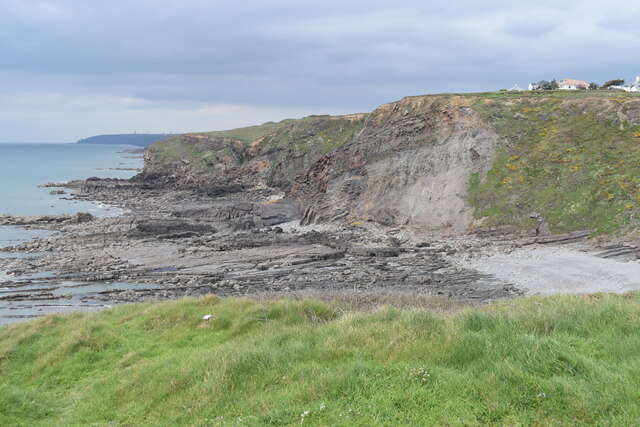
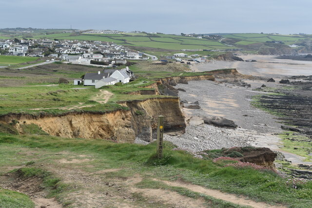
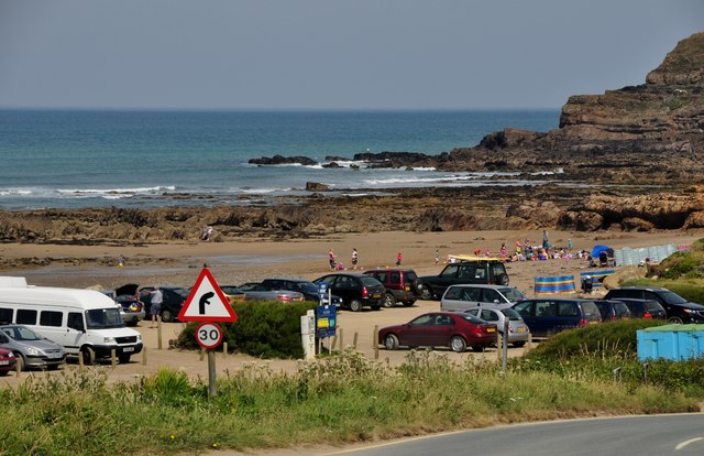
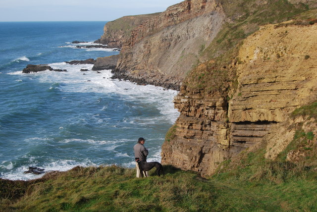
Nature enthusiasts and outdoor lovers are drawn to Thorne due to its proximity to Stithians Reservoir, a large freshwater lake that offers various recreational activities such as fishing, sailing, and birdwatching. The beautiful surrounding countryside also provides ample opportunities for walking, hiking, and exploring the scenic landscapes.

Thorne is well-connected to the rest of Cornwall by road, with easy access to the A30, the main arterial route running through the county. Additionally, the nearest railway station is located in Redruth, providing convenient transport links to other parts of the region.

In summary, Thorne is a peaceful village in Cornwall, offering a tranquil lifestyle amidst stunning natural surroundings. Its close-knit community and rural charm make it an ideal place for those seeking a slower pace of life.

If you have any feedback on the listing, please let us know in the comments section below.
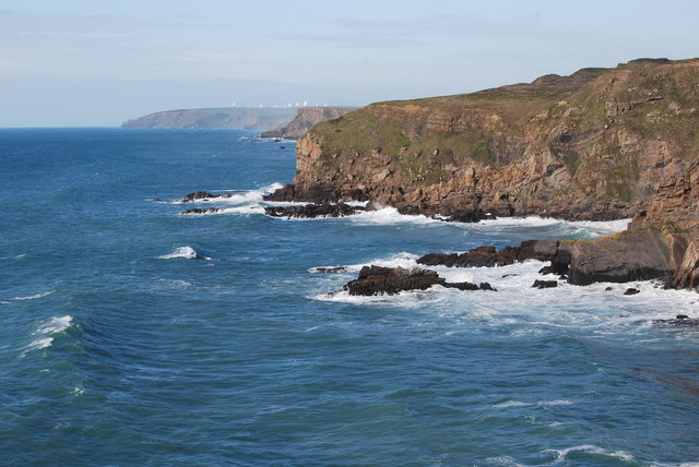
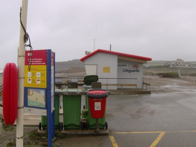
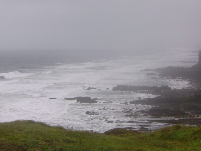
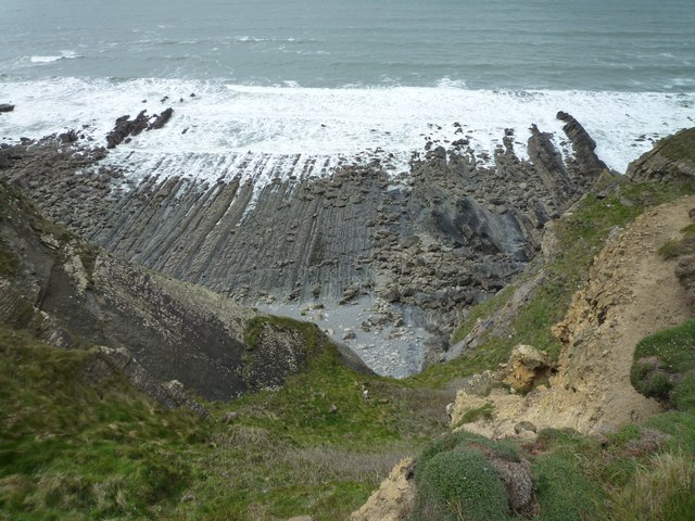
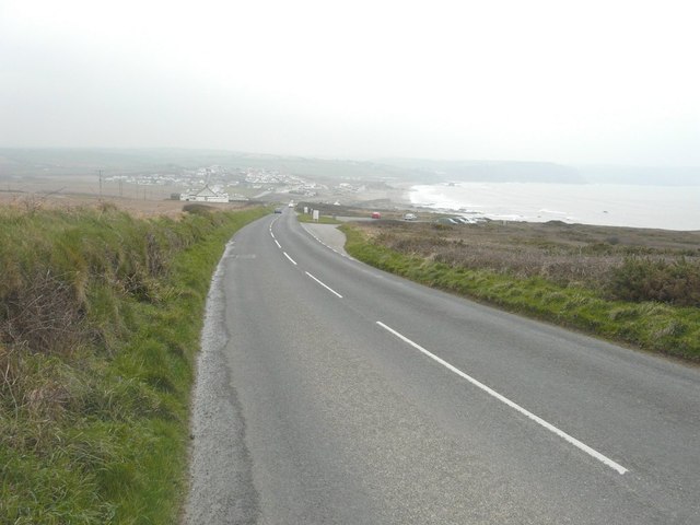
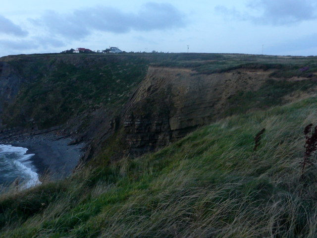
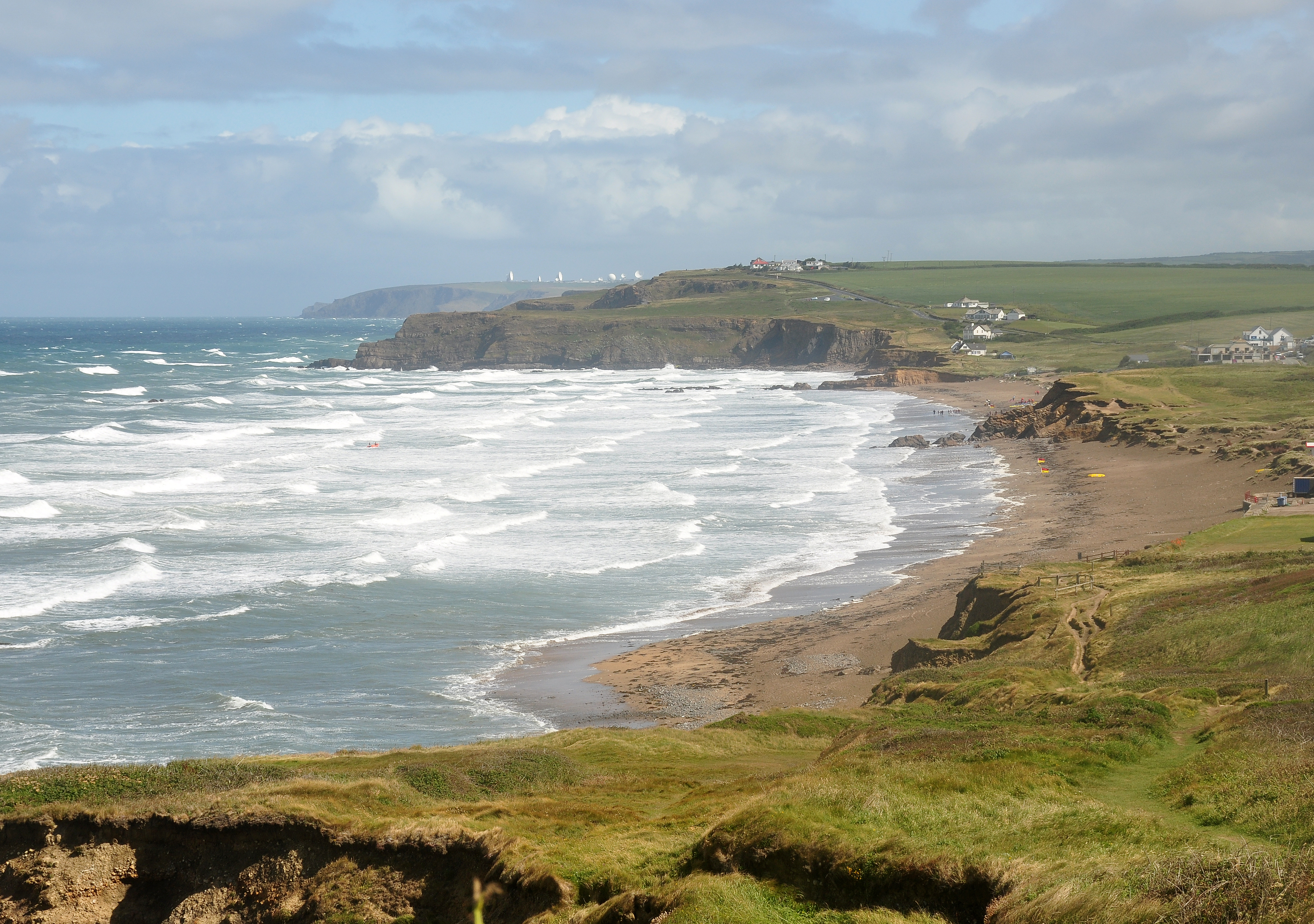
Thorne Images

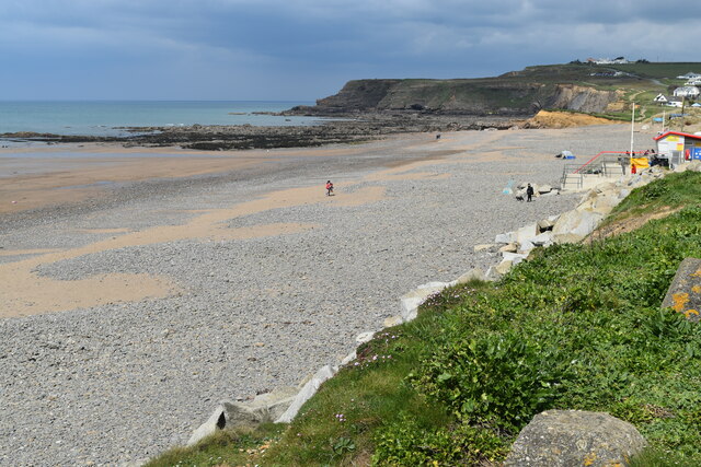
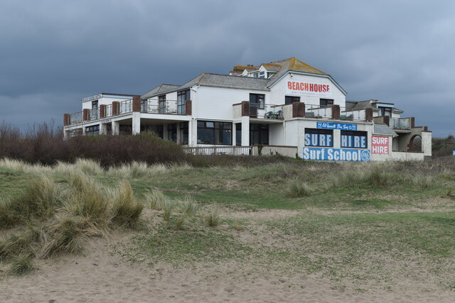
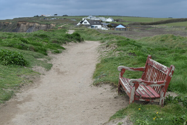
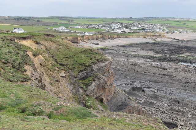
Images are sourced within 2km of 50.807828/-4.5419429 or Grid Reference SS2104. Thanks to Geograph Open Source API. All images are credited.

On the beach at Widemouth Bay
Beach House Hotel and Surf School On the dunes north of Widemouth Bay,
Beach House Hotel and Surf School
On the dunes north of Widemouth Bay,
Seat on the coastal path near Salthouse
Cliff at Lower Longbeak, with view to Widemouth Bay
Cliffs and shore north of Lower Longbeak
Coast at Salthouse, from the coastal path The settlement in the distance is Widemouth Bay.
Coast at Salthouse, from the coastal path
The settlement in the distance is Widemouth Bay.
Widemouth Bay : Sandy Bay & Car Park A car park beside Widemouth Bay. This stretch of coast is steeped in the smuggling history of times before, and not far south of Widemouth Bay can be found many little inlets and coves.
Widemouth Bay : Sandy Bay & Car Park
A car park beside Widemouth Bay. This stretch of coast is steeped in the smuggling history of times before, and not far south of Widemouth Bay can be found many little inlets and coves.
On Lower Longbeak, near Widemouth Bay, looking back up the coast northwards
From Lower Longbeak, looking back up the coast to past Bude and the listening station beyond
Lifeguard station at Widemouth Bay On a blustery October day, the lifeguard station at Widemouth Bay was not open
for business. The wind was howling in from the sea, a hardy bunch of visitors
was however enjoying this wonderful Cornish beach.
Lifeguard station at Widemouth Bay
On a blustery October day, the lifeguard station at Widemouth Bay was not open for business. The wind was howling in from the sea, a hardy bunch of visitors was however enjoying this wonderful Cornish beach.
Rough sea at Widemouth Bay Climbing to the viewpoint at Lower Longbeak, provided this view of the rocks
looking towards Bude. The wind was running close to a gale, spray rising up and
the waves too messy for surfing, or much else for that matter. Keeping the camera
still proved difficult, keeping oneself still was hard enough. As someone pointed
out, there is nothing to stop the wind between here and New York.
Rough sea at Widemouth Bay
Climbing to the viewpoint at Lower Longbeak, provided this view of the rocks looking towards Bude. The wind was running close to a gale, spray rising up and the waves too messy for surfing, or much else for that matter. Keeping the camera still proved difficult, keeping oneself still was hard enough. As someone pointed out, there is nothing to stop the wind between here and New York.
Coast between Lower Longbeak and Higher Longbeak
Rocky Foreshore Rocky foreshore below Upton
Rocky Foreshore
Rocky foreshore below Upton
Higher Longbeak From Lower Longbeak cliff looking North to Higher Longbeak
Higher Longbeak
From Lower Longbeak cliff looking North to Higher Longbeak
Carpark overlooking Widemouth Bay Accessed from Marine Drive, there is no charge for parking.
Carpark overlooking Widemouth Bay
Accessed from Marine Drive, there is no charge for parking.
Rock layers In the fading light of day, exposed rock layers seen between Lower Longbeak and Higher Longbeak, near Bude.
Rock layers
In the fading light of day, exposed rock layers seen between Lower Longbeak and Higher Longbeak, near Bude.
Widemouth Sand The promontory of Lower Longbeak from the car park at Widemouth.
Widemouth Sand
The promontory of Lower Longbeak from the car park at Widemouth.
Widemouth Sand Widemouth Sand and Salthouse, telephoto from the clifftop above Wanson Mouth
Widemouth Sand
Widemouth Sand and Salthouse, telephoto from the clifftop above Wanson Mouth
Show me another place!

Thorne is located at Grid Ref: SS2104 (Lat: 50.807828, Lng: -4.5419429)

Unitary Authority: Cornwall

Police Authority: Devon and Cornwall

What 3 Words

///replayed.airless.admit. Near Bude, Cornwall

Related Wikis

Helebridge

Helebridge is a hamlet west of Marhamchurch (where the 2011 census population was included ) in northeast Cornwall, England. == References ==

Lower and Higher Longbeak barrows

The Lower and Higher Longbeak barrows (also known as the Widemouth Bay tumulus) are a scheduled monument located north of Widemouth Bay in Cornwall. The...

Marhamchurch

Marhamchurch (Cornish: Eglosvarwenn) is a civil parish and village in north Cornwall, England, United Kingdom. Marhamchurch village is situated 1+1⁄2 miles...

Helscott

Helscott is a hamlet southwest of Marhamchurch in north Cornwall, England. It is on the A39 road and nearby to the east is East Helscott. According to...

Nearby Amenities

Located within 500m of 50.807828,-4.5419429
Toilets
Lat/Long: 50.8050906/-4.5371236
Restaurant
the Weir
Url: http://www.weir-restaurant-bude.co.uk/
Lat/Long: 50.8051669/-4.5370431
Bench
Lat/Long: 50.809318/-4.5376429
Waterway: weir
Lat/Long: 50.8065272/-4.5366889
Seamark Type: gate
Waterway: lock_gate
Lat/Long: 50.8101016/-4.537945
Bench
Lat/Long: 50.8063236/-4.5368185
Bench
Lat/Long: 50.8081543/-4.5375726
The data included in this document is from www.openstreetmap.org. The data is made available under ODbL.

Have you been to Thorne?

Leave your review of Thorne below (or comments, questions and feedback).