Hele

Settlement in Cornwall

England

Hele

Carpark overlooking Widemouth Bay Accessed from Marine Drive, there is no charge for parking.
Carpark overlooking Widemouth Bay Credit: John Baker

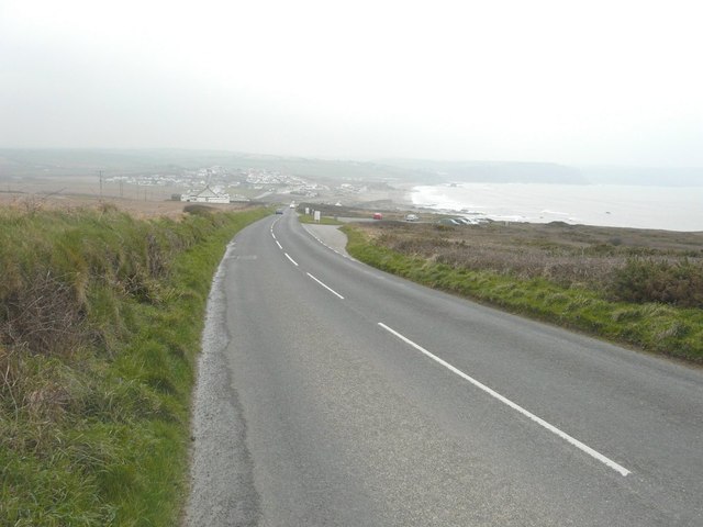
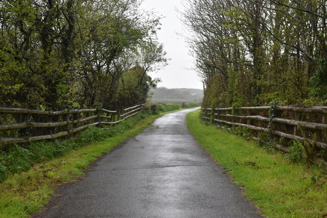
Hele is a charming coastal village located on the north coast of Cornwall, England. Situated approximately 5 miles west of the popular tourist destination of Bude, Hele offers a peaceful and picturesque retreat for visitors seeking a more relaxed atmosphere.

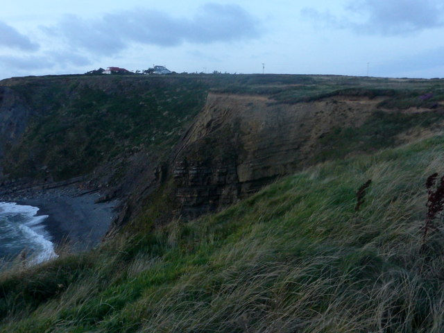
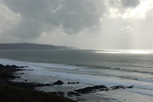
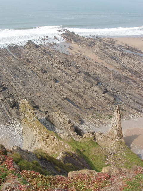
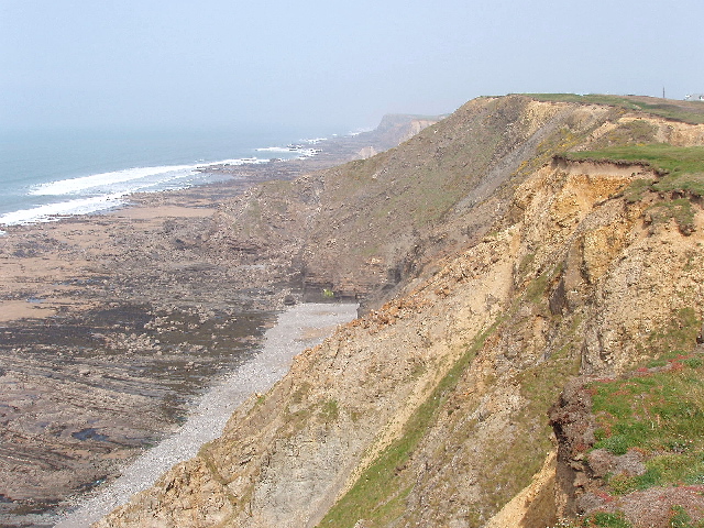
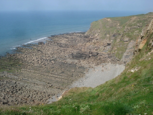
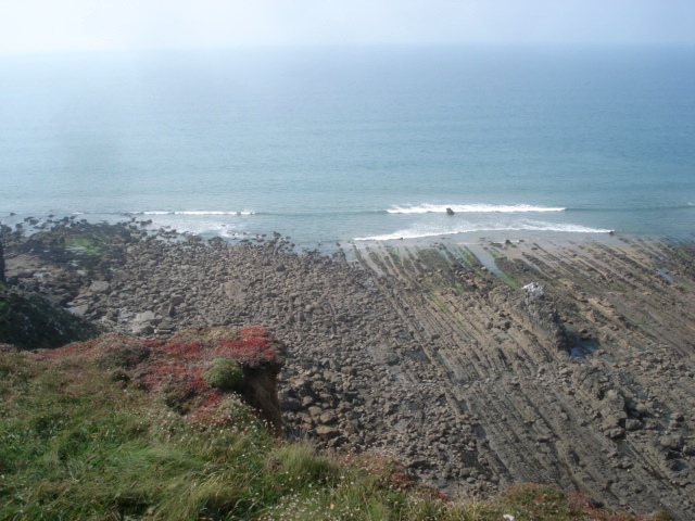
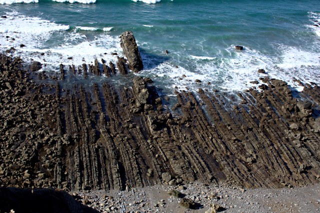
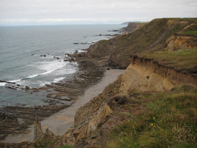
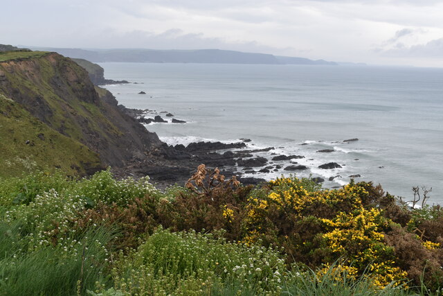
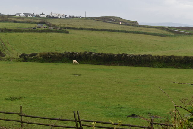
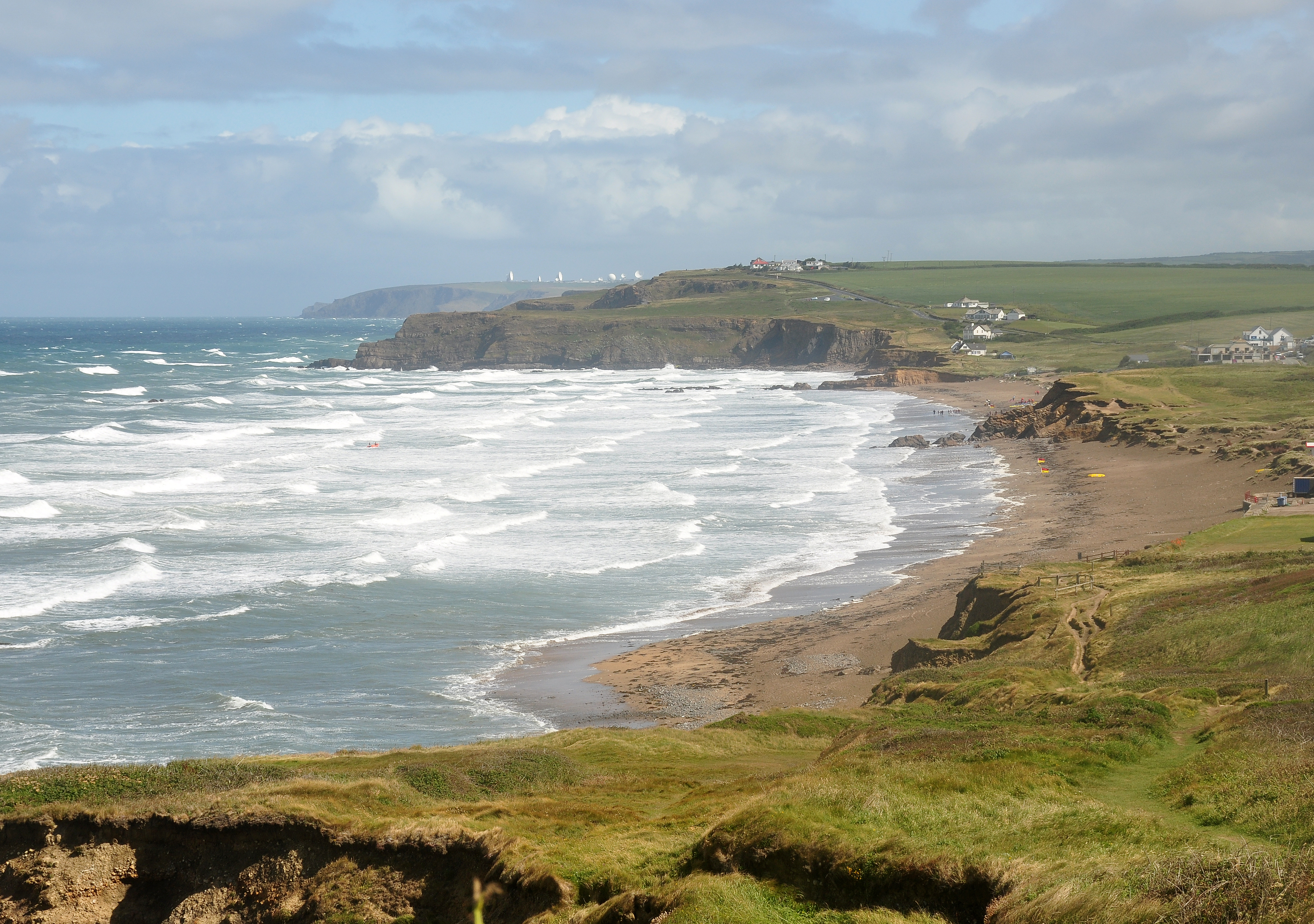
The village is known for its stunning natural beauty, with rugged cliffs and rolling hills providing a breathtaking backdrop. The sandy beach, known as Hele Bay, is a hidden gem and is often quieter than other nearby beaches, making it perfect for those looking to escape the crowds. The beach is easily accessible and offers opportunities for swimming, sunbathing, and exploring the rock pools during low tide.

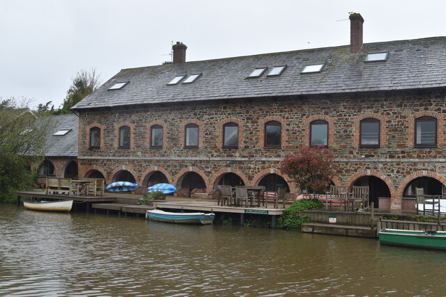
Hele is also home to a small fishing fleet, and visitors can often witness local fishermen bringing in their catch of the day. The village has a rich maritime history, with remnants of old lime kilns and boat yards still visible along the coastline.

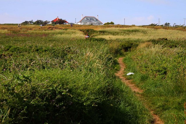
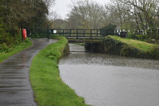
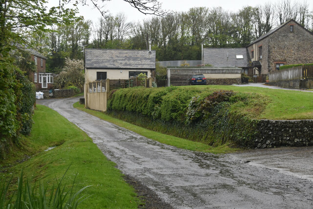
In terms of amenities, Hele boasts a handful of charming pubs and restaurants serving traditional Cornish cuisine. The village is also well-equipped with accommodation options, including cozy guesthouses and self-catering cottages, ensuring visitors have a comfortable stay.

For those looking to explore further afield, Hele is conveniently located near popular attractions such as the Tamar Lakes, which offer water sports and nature trails, and the historic town of Stratton, with its ancient church and quaint streets.

Overall, Hele, Cornwall offers a peaceful and idyllic setting, where visitors can enjoy the natural beauty of the coastline and immerse themselves in the rich local history.

If you have any feedback on the listing, please let us know in the comments section below.
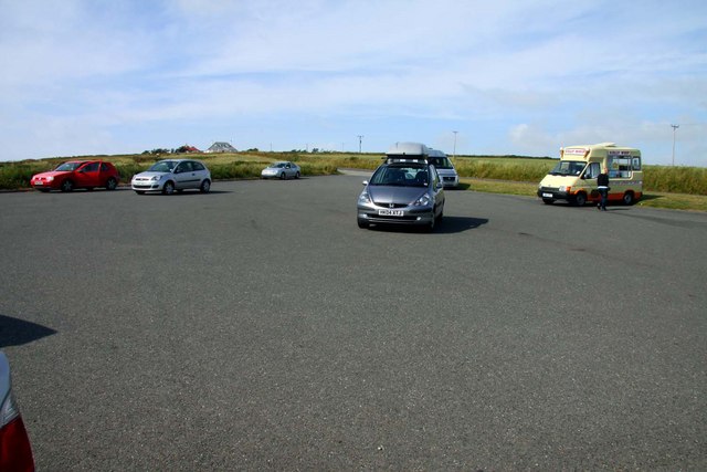
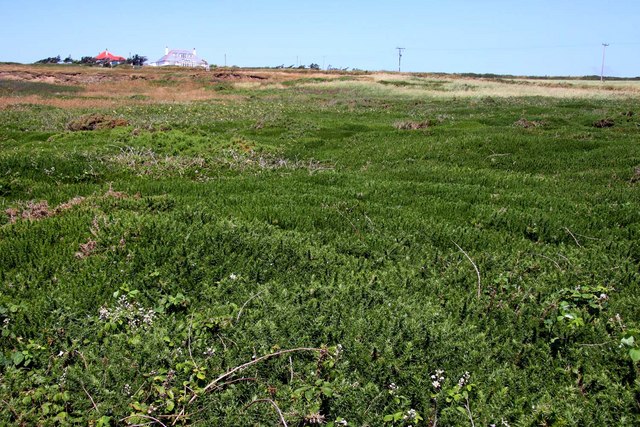
Hele Images

Images are sourced within 2km of 50.808488/-4.5319001 or Grid Reference SS2104. Thanks to Geograph Open Source API. All images are credited.

Carpark overlooking Widemouth Bay Accessed from Marine Drive, there is no charge for parking.
Carpark overlooking Widemouth Bay
Accessed from Marine Drive, there is no charge for parking.
Rock layers In the fading light of day, exposed rock layers seen between Lower Longbeak and Higher Longbeak, near Bude.
Rock layers
In the fading light of day, exposed rock layers seen between Lower Longbeak and Higher Longbeak, near Bude.
Coastal Scene Looking south from the western side of the square.
Coastal Scene
Looking south from the western side of the square.
Wave-cut platform below Phillips Point Near Bude the vertical dipping rocks are exposed as a wave-cut platform. View from cliff top.
Wave-cut platform below Phillips Point
Near Bude the vertical dipping rocks are exposed as a wave-cut platform. View from cliff top.
Phillip's Point, beach and cliffs View from the cliff edge by the coast path. The Cornwall Wildlife Trust  describes their reserve here as "Magnificent vertical and slumping high cliffs with spectacular views to Hartland Point and Widemouth."
Phillip's Point, beach and cliffs
View from the cliff edge by the coast path. The Cornwall Wildlife Trust describes their reserve here as "Magnificent vertical and slumping high cliffs with spectacular views to Hartland Point and Widemouth."
Higher Longbeak Looking north-west across a classic wave cut platform.
Higher Longbeak
Looking north-west across a classic wave cut platform.
Rock strata at Phillip's Point Looking westwards out to sea across the wave-cut platform of steeply dipping rocks.
Rock strata at Phillip's Point
Looking westwards out to sea across the wave-cut platform of steeply dipping rocks.
South-west Coast Path near Salthouse
Car Park on the headland near Salthouse
Looking up Sheephouse Down
The foreshore by Abe's Rock Looking down from the clifftop onto the foreshore which display prominent near vertical bedding planes of tightly folded rock picked out by the sea as it erodes the softer layers more quickly.
The foreshore by Abe's Rock
Looking down from the clifftop onto the foreshore which display prominent near vertical bedding planes of tightly folded rock picked out by the sea as it erodes the softer layers more quickly.
Coastline at Phillip's Point Crumbling cliffs and Phillip's Point to the south of Upton on the North Cornwall Coast.
Coastline at Phillip's Point
Crumbling cliffs and Phillip's Point to the south of Upton on the North Cornwall Coast.
Cliffs below Upton Due to erosion, the SW Coastal Path has been diverted inland away from the cliff edge just north of this point.
Cliffs below Upton
Due to erosion, the SW Coastal Path has been diverted inland away from the cliff edge just north of this point.
Clifftop fields at Upton
Bridge over the Bude Canal in the rain The canal is no longer navigable, having low level fixed bridges at various points.
Bridge over the Bude Canal in the rain
The canal is no longer navigable, having low level fixed bridges at various points.
Lane through Bagbury
Former saw mill and steam laundry beside the Bude Canal Now converted to residential use.
Former saw mill and steam laundry beside the Bude Canal
Now converted to residential use.
Shared use path on former railway route This cycle and footpath into Bude sometimes follows the former railway trackbed itself and is sometimes adjacent.  At this point, the trackbed was on a low embankment to the right.
Shared use path on former railway route
This cycle and footpath into Bude sometimes follows the former railway trackbed itself and is sometimes adjacent. At this point, the trackbed was on a low embankment to the right.
Show me another place!

Hele is located at Grid Ref: SS2104 (Lat: 50.808488, Lng: -4.5319001)

Unitary Authority: Cornwall

Police Authority: Devon and Cornwall

What 3 Words

///mulls.alike.taster. Near Bude, Cornwall

Related Wikis

Helebridge

Helebridge is a hamlet west of Marhamchurch (where the 2011 census population was included ) in northeast Cornwall, England. == References ==

Marhamchurch

Marhamchurch (Cornish: Eglosvarwenn) is a civil parish and village in north Cornwall, England, United Kingdom. Marhamchurch village is situated 1+1⁄2 miles...

Helscott

Helscott is a hamlet southwest of Marhamchurch in north Cornwall, England. It is on the A39 road and nearby to the east is East Helscott. According to...

Lower and Higher Longbeak barrows

The Lower and Higher Longbeak barrows (also known as the Widemouth Bay tumulus) are a scheduled monument located north of Widemouth Bay in Cornwall. The...

Nearby Amenities

Located within 500m of 50.808488,-4.5319001
Post Box
Operator: Royal Mail
Operator Wikidata: Q638098
Ref: EX23 2
Lat/Long: 50.8047029/-4.5330376
Bus Stop
Helebridge Bridge
Bus: yes
Naptan AtcoCode: 0800COA10131
Naptan Bearing: N
Naptan CommonName: Helebridge Bridge
Naptan Crossing: Helebridge Road
Naptan NaptanCode: cordpjmg
Naptan Street: Hele Road
Naptan Verified: no
Public Transport: platform
Source: naptan_import
Lat/Long: 50.8047694/-4.5339791
Canal Barge Workshop
Addr City: Bude
Addr Housename: Canal Barge Workshop
Addr Postcode: EX23 0JA
Operator: Bude Canal and Harbour Society
Tourism: museum
Lat/Long: 50.8053045/-4.5319242
Bench
Lat/Long: 50.809318/-4.5376429
Waterway: weir
Lat/Long: 50.8065272/-4.5366889
Tourism: information
Lat/Long: 50.8052563/-4.5349145
Helebridge
Place: locality
Wikidata: Q15058891
Lat/Long: 50.8052777/-4.5341891
Seamark Type: gate
Waterway: lock_gate
Lat/Long: 50.8101016/-4.537945
Parking
Capacity: 10
Fee: no
Park Ride: no
Parking: surface
Supervised: no
Lat/Long: 50.8050961/-4.5336976
Hele
Place: hamlet
Lat/Long: 50.8082792/-4.532038
Bench
Lat/Long: 50.8063236/-4.5368185
Bench
Lat/Long: 50.8081543/-4.5375726
Direction: 170
Generator Method: photovoltaic
Generator Output Electricity: yes
Generator Solar Modules: 14
Generator Source: solar
Generator Type: solar_photovoltaic_panel
Location: roof
Power: generator
Lat/Long: 50.8052347/-4.5274267
The data included in this document is from www.openstreetmap.org. The data is made available under ODbL.

Have you been to Hele?

Leave your review of Hele below (or comments, questions and feedback).