West Drive

Wood, Forest in Cornwall

England

West Drive

Minor road north-east of Hartswell To the west (left) the land slopes down steeply
Minor road north-east of Hartswell Credit: David Smith

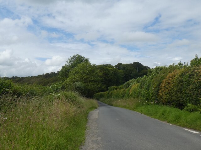
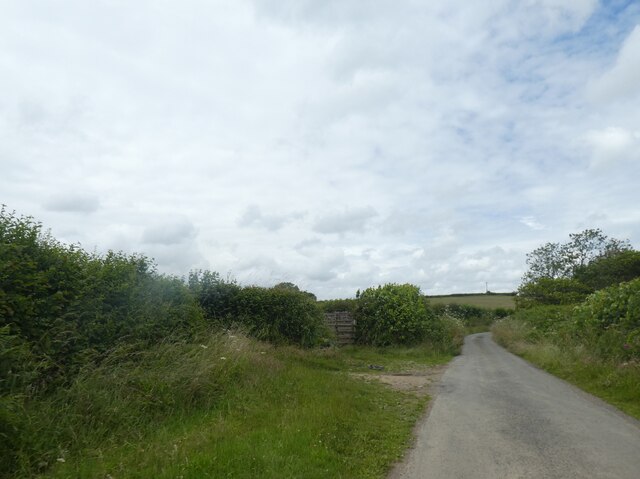
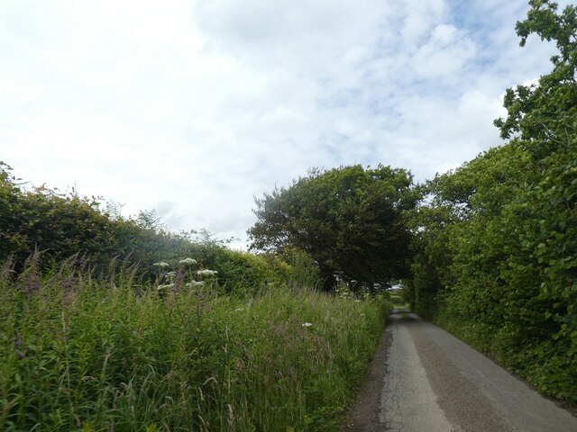
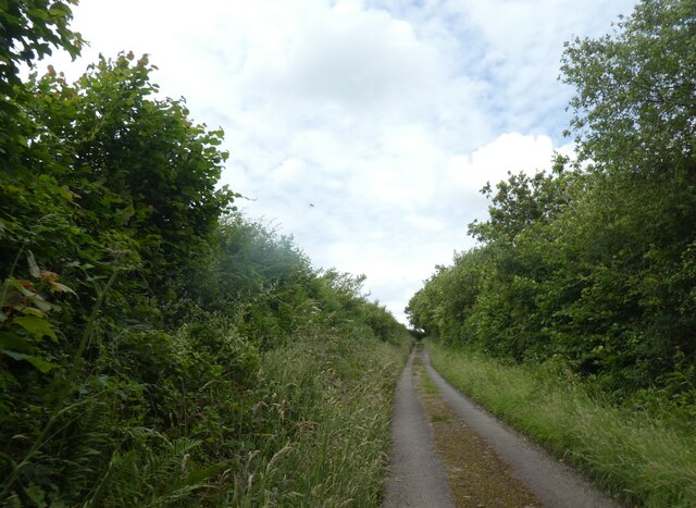
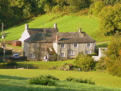
West Drive, Cornwall (Wood, Forest) is a scenic and expansive woodland area located in the southwestern region of England. Situated in the county of Cornwall, West Drive is renowned for its lush greenery, diverse wildlife, and tranquil atmosphere. Covering a vast area of land, this forested region offers a sanctuary for nature enthusiasts and outdoor adventurers alike.

The woodland of West Drive is characterized by its dense canopy of trees, predominantly consisting of native species such as oak, beech, and birch. These towering trees create a serene and shaded environment, providing a respite from the hustle and bustle of nearby urban areas. The forest floor is adorned with a rich carpet of ferns, moss, and wildflowers, adding to the area's natural charm.

Home to a wide array of wildlife, West Drive offers ample opportunities for nature observation. Visitors may catch a glimpse of various bird species such as woodpeckers, thrushes, and owls, as well as small mammals including foxes, squirrels, and badgers. The forest also boasts a diverse insect population, with butterflies, bees, and dragonflies adding splashes of color to the landscape.

For those seeking outdoor activities, West Drive provides numerous hiking trails and walking paths, allowing visitors to explore the forest at their own pace. The well-maintained trails offer a mix of gentle strolls and more challenging routes, catering to individuals of all fitness levels. Additionally, the forest is equipped with picnic areas and benches, providing opportunities for relaxation and enjoyment of the natural surroundings.

In summary, West Drive, Cornwall (Wood, Forest) offers a captivating and idyllic woodland experience. With its abundant flora and fauna, tranquil ambiance, and recreational opportunities, this forested area is a must-visit destination for nature lovers and outdoor enthusiasts in Cornwall.

If you have any feedback on the listing, please let us know in the comments section below.
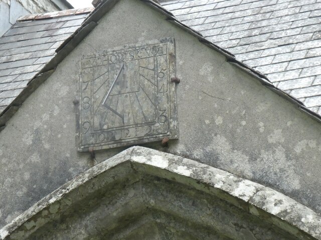
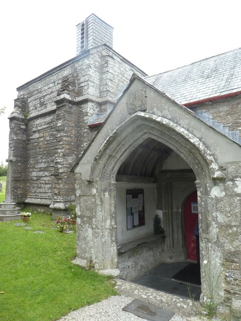
West Drive Images

Images are sourced within 2km of 50.415177/-4.6238591 or Grid Reference SX1360. Thanks to Geograph Open Source API. All images are credited.

Minor road north-east of Hartswell To the west (left) the land slopes down steeply
Minor road north-east of Hartswell
To the west (left) the land slopes down steeply
Fork in road north-east of Hartswell
Road to Higher Hartswell Farm and woodland beyond
Woodland north of Higher Hartswell Farm The woodland is part of the Boconnoc estate to the east
Woodland north of Higher Hartswell Farm
The woodland is part of the Boconnoc estate to the east
Road through woodland on west side of Druid's Hill
MOT Centre on A390
MOT Centre on A390
Side road off A390
Side road off A390
A390, Grenville Road The A390  runs for 60 miles between Tavistock and a roundabout with the A30 at Three Burrows, 5 miles north west of the city of Truro in Cornwall, via Lostwithiel, St Blazey, and St Austell. It is an important road as it forms part of the main route (the Truro to Dobwalls section) from Truro to Plymouth. It can be used to travel along the spine of Cornwall as a more leisurely drive instead of using the A30.
A390, Grenville Road
The A390 runs for 60 miles between Tavistock and a roundabout with the A30 at Three Burrows, 5 miles north west of the city of Truro in Cornwall, via Lostwithiel, St Blazey, and St Austell. It is an important road as it forms part of the main route (the Truro to Dobwalls section) from Truro to Plymouth. It can be used to travel along the spine of Cornwall as a more leisurely drive instead of using the A30.
A390 near Sandylake The A390  runs for 60 miles between Tavistock and a roundabout with the A30 at Three Burrows, 5 miles north west of the city of Truro in Cornwall, via Lostwithiel, St Blazey, and St Austell. It is an important road as it forms part of the main route (the Truro to Dobwalls section) from Truro to Plymouth. It can be used to travel along the spine of Cornwall as a more leisurely drive instead of using the A30.
A390 near Sandylake
The A390 runs for 60 miles between Tavistock and a roundabout with the A30 at Three Burrows, 5 miles north west of the city of Truro in Cornwall, via Lostwithiel, St Blazey, and St Austell. It is an important road as it forms part of the main route (the Truro to Dobwalls section) from Truro to Plymouth. It can be used to travel along the spine of Cornwall as a more leisurely drive instead of using the A30.
A390 east of Lostwithiel The A390  runs for 60 miles between Tavistock and a roundabout with the A30 at Three Burrows, 5 miles north west of the city of Truro in Cornwall, via Lostwithiel, St Blazey, and St Austell. It is an important road as it forms part of the main route (the Truro to Dobwalls section) from Truro to Plymouth. It can be used to travel along the spine of Cornwall as a more leisurely drive instead of using the A30.
A390 east of Lostwithiel
The A390 runs for 60 miles between Tavistock and a roundabout with the A30 at Three Burrows, 5 miles north west of the city of Truro in Cornwall, via Lostwithiel, St Blazey, and St Austell. It is an important road as it forms part of the main route (the Truro to Dobwalls section) from Truro to Plymouth. It can be used to travel along the spine of Cornwall as a more leisurely drive instead of using the A30.
The northern part of the graveyard at St Nectan's Chapel
Field entrance north of Burn Farm
Minor road on south of Beacon Hill The hedges are set away from the present surfaced road, and the verge on the left has been allowed to grow dense
Minor road on south of Beacon Hill
The hedges are set away from the present surfaced road, and the verge on the left has been allowed to grow dense
Road to St Nectan's Chapel
Sundial on porch of St Nectan's Chapel
Porch of St Nectan's Chapel
Font of St Nectan's Chapel
Arch of the west end of St Nectan's Chapel
Show me another place!

West Drive is located at Grid Ref: SX1360 (Lat: 50.415177, Lng: -4.6238591)

Unitary Authority: Cornwall

Police Authority: Devon and Cornwall

What 3 Words

///tumblers.cost.equality. Near Lostwithiel, Cornwall

Nearby Locations

West Drive

Related Wikis

Boconnoc

Boconnoc (Cornish: Boskennek) is a civil parish in Cornwall, England, United Kingdom, approximately four miles (6 km) east of the town of Lostwithiel....

Boconnoc Church

Boconnoc Church is a Grade I listed Church of England parish church in Boconnoc, Cornwall. == History and description == The church dates from the 13th...

Sandylake

Sandylake is a hamlet east of Lostwithiel in Cornwall, England. It is on the A30 main road. == References ==

Brooks, Cornwall

Brooks is a house near Boconnoc in Cornwall, England, UK. == References ==

Have you been to West Drive?

Leave your review of West Drive below (or comments, questions and feedback).