Lerryn Wood
Wood, Forest in Cornwall
England
Lerryn Wood
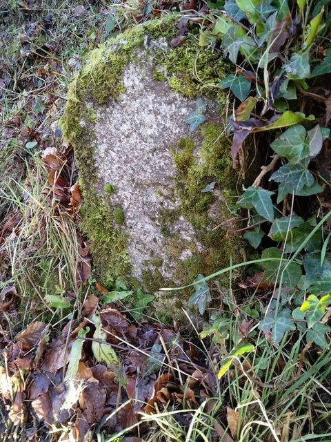
Lerryn Wood, located in Cornwall, England, is a picturesque and enchanting forest area that spans over 200 acres. It is a popular destination for nature lovers, hikers, and birdwatchers due to its diverse flora and fauna, tranquil atmosphere, and scenic beauty.
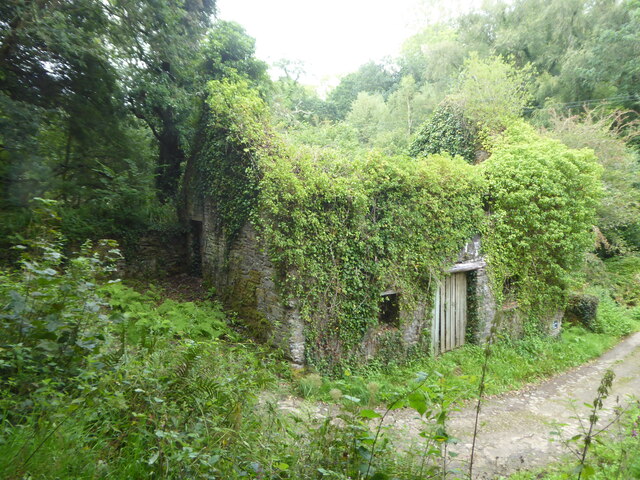
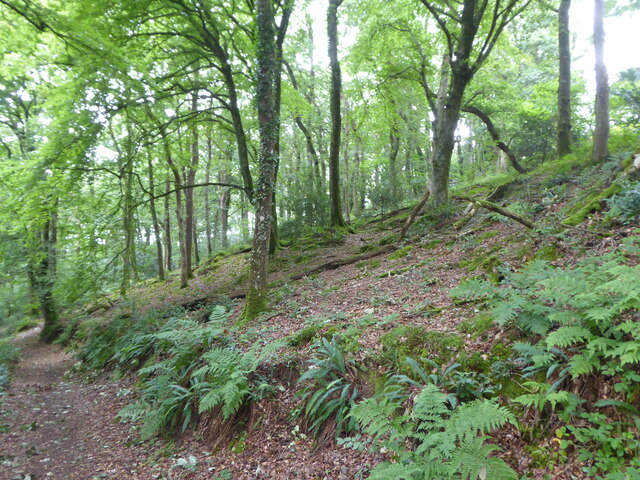
The wood is characterized by its dense and ancient woodland, consisting mainly of native broadleaf trees such as oak, beech, and ash. These towering trees create a canopy that provides shade and shelter to a rich variety of plants and wildlife. The forest floor is carpeted with bluebells, wild garlic, and ferns, adding to the magical ambiance of the woodland.
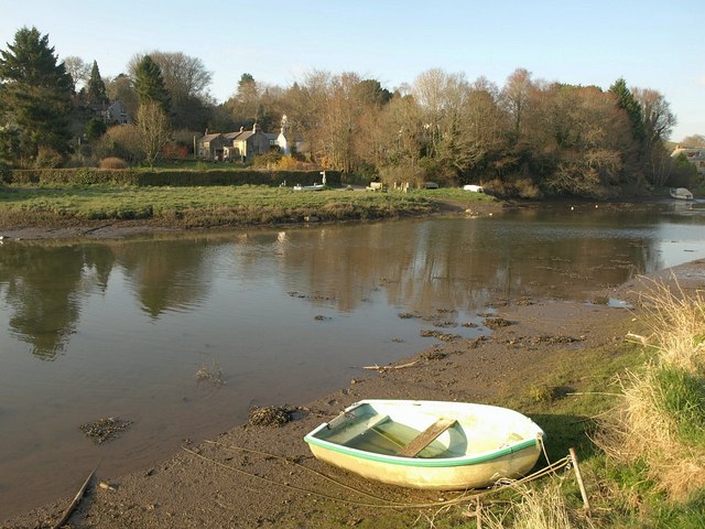
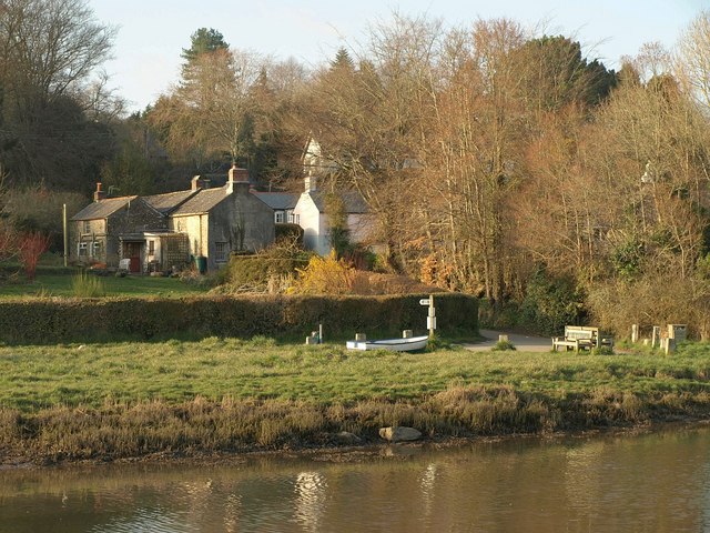
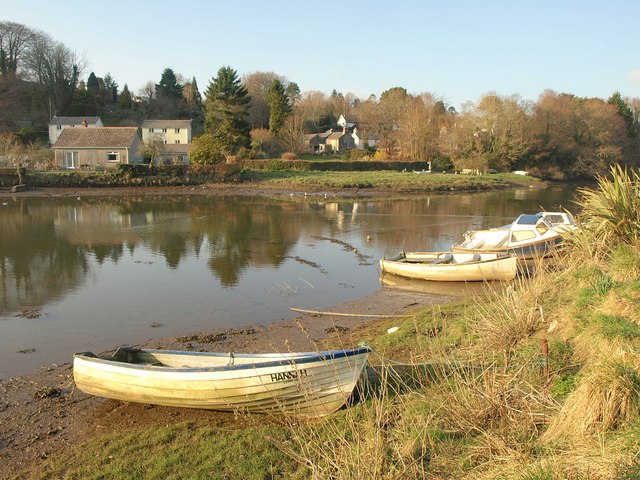
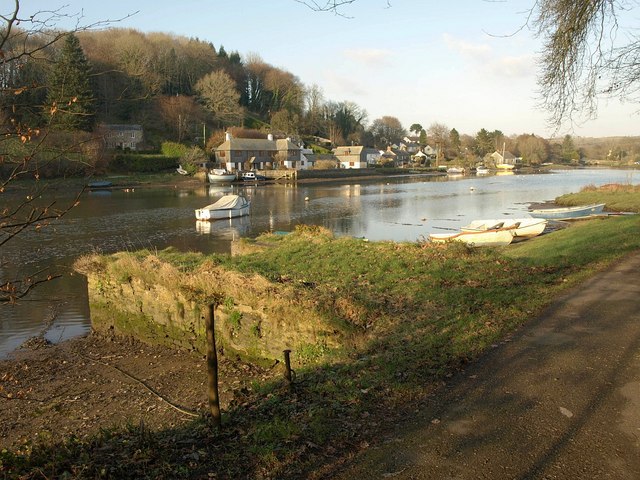
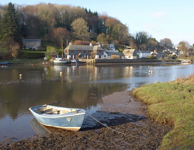
Lerryn Wood is intersected by the River Lerryn, which meanders through the forest, creating charming riverside walks and offering opportunities for fishing and boating. The riverbanks are adorned with vibrant wildflowers and are often frequented by otters, kingfishers, and herons.
The wood is also home to a diverse range of bird species, including woodpeckers, owls, and various songbirds. Birdwatchers can often spot these feathered creatures perched on the branches or flying through the tree canopy.
With its well-maintained trails and footpaths, Lerryn Wood provides an excellent opportunity for visitors to explore its natural beauty. The forest offers a peaceful retreat, allowing visitors to immerse themselves in the calming sounds of nature while enjoying the stunning views.
Overall, Lerryn Wood in Cornwall is a captivating forest that offers a unique blend of tranquility, scenic charm, and diverse wildlife, making it an ideal destination for those seeking an escape into nature.
If you have any feedback on the listing, please let us know in the comments section below.
Lerryn Wood Images
Images are sourced within 2km of 50.38006/-4.6226935 or Grid Reference SX1356. Thanks to Geograph Open Source API. All images are credited.


Lerryn Wood is located at Grid Ref: SX1356 (Lat: 50.38006, Lng: -4.6226935)
Unitary Authority: Cornwall
Police Authority: Devon and Cornwall
What 3 Words
///ears.pest.parked. Near Lostwithiel, Cornwall
Nearby Locations
Related Wikis

Lerryn
Lerryn (Cornish: Leryon, archaically Lerrin) is a village in Cornwall, England. It is situated on the River Lerryn (a tributary of the River Fowey) approximately...

River Lerryn
The River Lerryn is a river in east Cornwall, England, UK, a tributary of the River Fowey. The Lerryn is the largest of the tributaries which enter the...

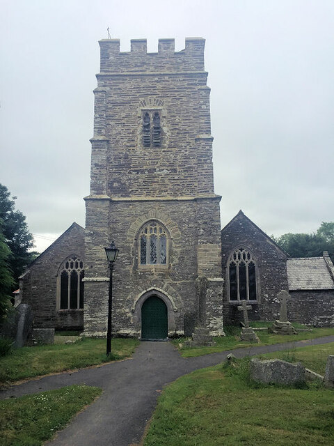
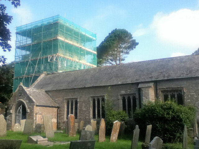
St Cyricius and St Julietta's Church, St Veep
St Cyricius and St Julietta's Church, St Veep is a Grade I listed parish church of Church of England in St Veep, Cornwall. == History and description... ==

St Veep
St Veep (Cornish: Sen Vip) is a civil parish in Cornwall, England, United Kingdom, situated above the east bank of the River Fowey about three miles (5...
Nearby Amenities
Located within 500m of 50.38006,-4.6226935Have you been to Lerryn Wood?
Leave your review of Lerryn Wood below (or comments, questions and feedback).