Penadlake Plantation
Wood, Forest in Cornwall
England
Penadlake Plantation

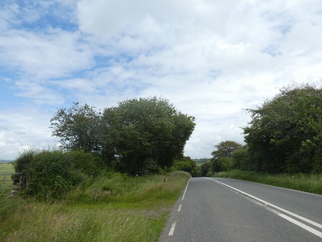
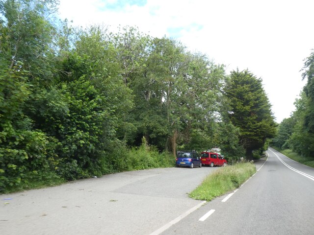
Penadlake Plantation, located in Cornwall, England, is a picturesque woodland area known for its natural beauty and tranquil atmosphere. Situated near the charming village of Wood, the plantation spans across a vast area of lush greenery, making it a haven for nature enthusiasts and outdoor adventurers.
The plantation is home to a diverse range of trees and flora, including towering oaks, beeches, and chestnuts, which provide a dense canopy and create a cool and shaded environment. The forest floor is covered with a carpet of ferns, mosses, and wildflowers, adding to the enchanting ambiance of the plantation.
Visitors to Penadlake Plantation can enjoy a variety of activities, such as leisurely walks along the well-maintained trails that wind through the woodland. These trails offer stunning views of the surrounding countryside, with glimpses of the nearby River Fowey adding to the natural charm.
The plantation is also a popular spot for birdwatching, as it attracts a wide range of avian species throughout the year. Birdwatchers can spot woodpeckers, nuthatches, and various species of owls among the treetops, while the more patient observer may even catch a glimpse of the rare and elusive kingfisher near the riverbanks.
For those seeking a peaceful retreat, Penadlake Plantation offers designated picnic areas where visitors can relax and enjoy the serenity of the surroundings. The plantation is also a favored spot for photographers and artists, who are captivated by the unique play of light and shadow that dances through the trees.
In summary, Penadlake Plantation in Cornwall is a stunning woodland destination, offering a rich diversity of trees and wildlife. Whether for a leisurely walk, birdwatching, or simply immersing oneself in the beauty of nature, this plantation is a must-visit for anyone seeking a peaceful and idyllic retreat.
If you have any feedback on the listing, please let us know in the comments section below.
Penadlake Plantation Images
Images are sourced within 2km of 50.451332/-4.6248454 or Grid Reference SX1364. Thanks to Geograph Open Source API. All images are credited.


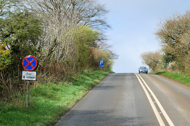


Penadlake Plantation is located at Grid Ref: SX1364 (Lat: 50.451332, Lng: -4.6248454)
Unitary Authority: Cornwall
Police Authority: Devon and Cornwall
What 3 Words
///glow.vote.swerving. Near Lostwithiel, Cornwall
Nearby Locations
Related Wikis

Cabilla and Redrice Woods
Cabilla and Redrice Woods is a nature reserve of the Cornwall Wildlife Trust, about 3 miles (4.8 km) east of Bodmin, in Cornwall, England. It is an extensive...
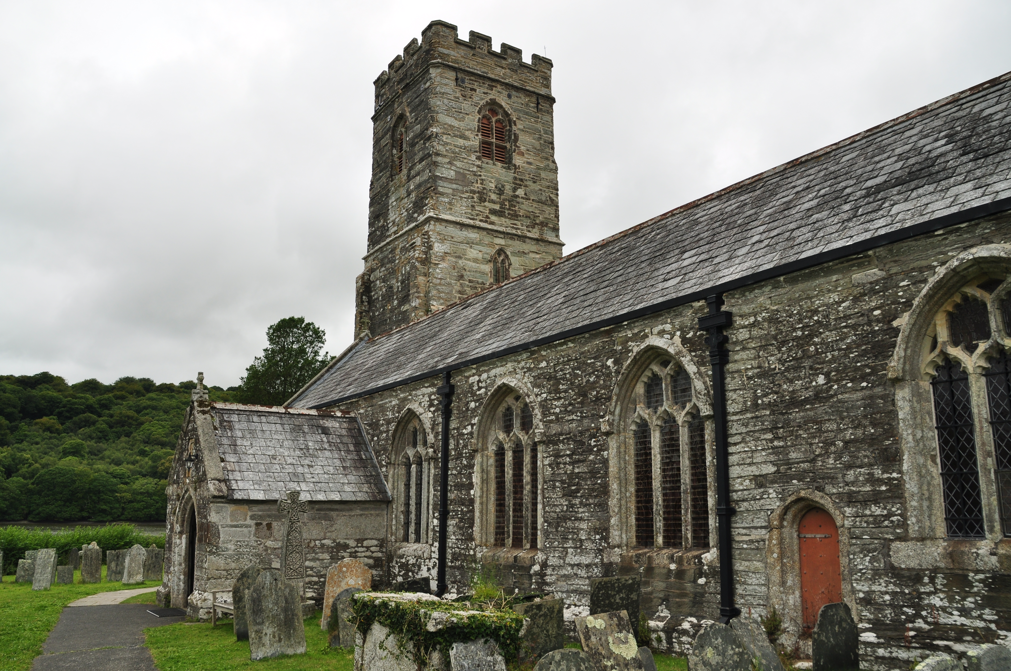
St Winnow's Church, St Winnow
St Winnow's Church, St Winnow is a Grade I listed parish church in the Church of England in St Winnow, Cornwall. == History == The church is probably built...

West Taphouse
West Taphouse is a hamlet in Cornwall, England. It is on the A390 road west of Middle Taphouse and East Taphouse. == References ==
Drawbridge, Cornwall
Drawbridge is a hamlet in the parish of St Neot (where the 2011 census was included), Cornwall, England, UK. == References ==
Nearby Amenities
Located within 500m of 50.451332,-4.6248454Have you been to Penadlake Plantation?
Leave your review of Penadlake Plantation below (or comments, questions and feedback).