Trenance Wood

Wood, Forest in Cornwall

England

Trenance Wood

Gover Valley This view from the Gover railway viaduct shows a valley once busy with the china clay industry, note the chimney, but now returning to an intense greenness.
This photo was taken from the 1158 Penzance to London Paddington train, having left Truro at 1244 and about to arrive at St Austell.
Gover Valley Credit: Graham Horn

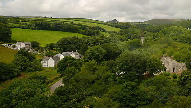
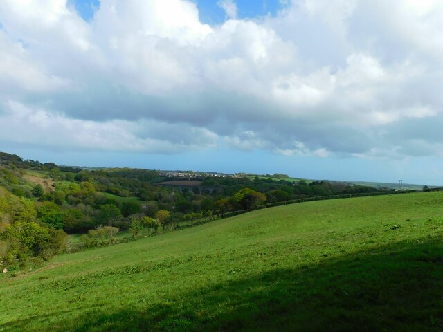
Trenance Wood is a picturesque woodland located in the county of Cornwall, England. Situated near the coastal town of Newquay, this woodland is a popular destination for locals and tourists alike, offering a tranquil escape from the bustling city life.

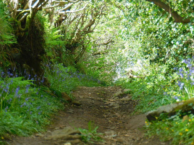
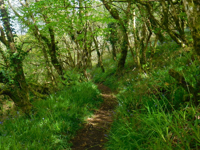
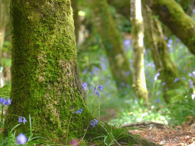
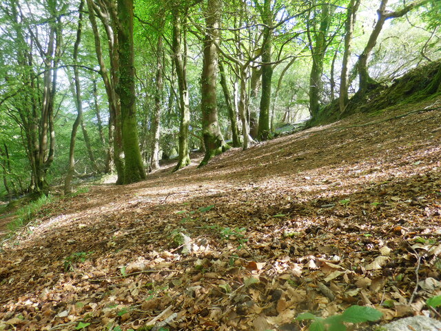
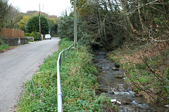
Covering an area of approximately 26 acres, Trenance Wood is home to a diverse range of flora and fauna, making it a haven for nature enthusiasts. The wood is predominantly composed of deciduous trees such as oak, beech, and birch, which create a stunning canopy of foliage during the summer months. The forest floor is adorned with bluebells and ferns, adding to the enchanting atmosphere.

The woodland is crisscrossed with a network of well-maintained trails, allowing visitors to explore its beauty at their own pace. These trails lead visitors through sun-dappled glades and alongside a meandering stream, creating a sense of tranquility and serenity. Birdwatchers will delight in the opportunity to spot various species such as woodpeckers, tits, and finches, which inhabit the wood.

Trenance Wood also boasts several picnic areas and benches, providing the perfect setting for a leisurely lunch amidst the natural surroundings. Additionally, the wood is home to a small café, where visitors can enjoy a hot drink or a light snack.

In summary, Trenance Wood offers a peaceful and idyllic retreat for nature lovers and those seeking respite from the hustle and bustle of everyday life. With its stunning scenery, diverse wildlife, and well-maintained trails, it is a must-visit destination for anyone exploring Cornwall's natural beauty.

If you have any feedback on the listing, please let us know in the comments section below.

Trenance Wood Images

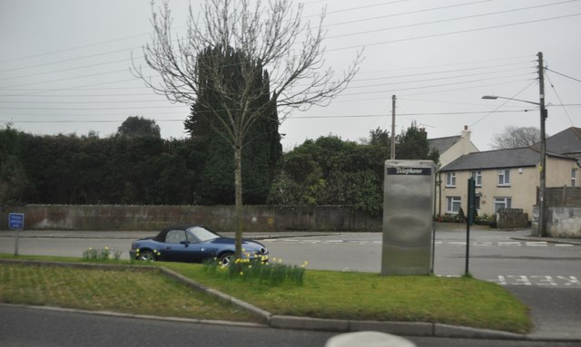
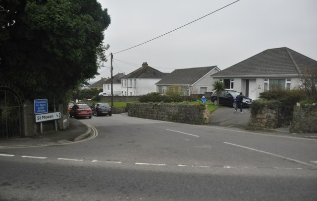
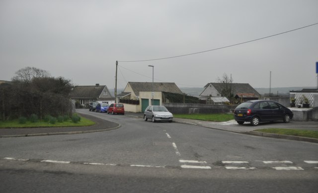
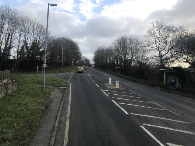
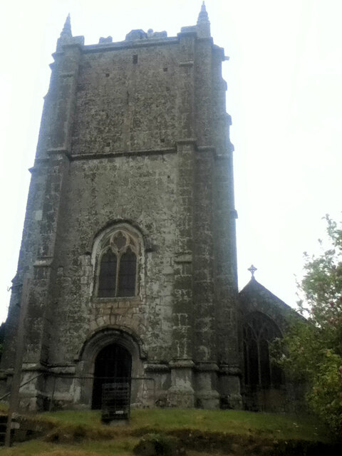
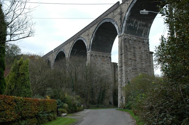
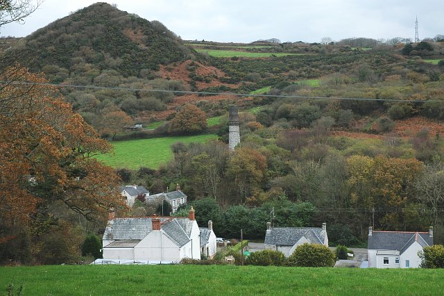
Images are sourced within 2km of 50.345085/-4.7979086 or Grid Reference SX0153. Thanks to Geograph Open Source API. All images are credited.

Gover Valley This view from the Gover railway viaduct shows a valley once busy with the china clay industry, note the chimney, but now returning to an intense greenness.
This photo was taken from the 1158 Penzance to London Paddington train, having left Truro at 1244 and about to arrive at St Austell.
Gover Valley
This view from the Gover railway viaduct shows a valley once busy with the china clay industry, note the chimney, but now returning to an intense greenness. This photo was taken from the 1158 Penzance to London Paddington train, having left Truro at 1244 and about to arrive at St Austell.
Olympic Torch Trewoon The olympic torch passing through Trewoon
Olympic Torch Trewoon
The olympic torch passing through Trewoon
St Mewan's church, St Mewan
Trewoon : Houses Houses on the side of the A3058 in Trewoon.
Trewoon : Houses
Houses on the side of the A3058 in Trewoon.
Trewoon : Houses Housing on the roadside of the A3058 in Trewoon.
Trewoon : Houses
Housing on the roadside of the A3058 in Trewoon.
Trewoon : Hembal Lane Hembal Lane as seen from the A3058 in Trewoon.
Trewoon : Hembal Lane
Hembal Lane as seen from the A3058 in Trewoon.
Trewoon : St Mewan Lane St Mewan Lane as seen from the junction with the A3058.
Trewoon : St Mewan Lane
St Mewan Lane as seen from the junction with the A3058.
Trewoon : Meadow Park Meadow Park in Trewoon heading off of the A3058.
Trewoon : Meadow Park
Meadow Park in Trewoon heading off of the A3058.
Trevanion Lane The top of Trevanion Lane near Trewoon, Cornwall, UK.
Trevanion Lane
The top of Trevanion Lane near Trewoon, Cornwall, UK.
Informal Gover Valley Path An informal path in the Upper Gover valley, St Austell, Cornwall, England, UK.
Informal Gover Valley Path
An informal path in the Upper Gover valley, St Austell, Cornwall, England, UK.
Upper Gover Valley Woodland Path A woodland path in the Upper Gover valley, St Austell, Cornwall, England, UK.
Upper Gover Valley Woodland Path
A woodland path in the Upper Gover valley, St Austell, Cornwall, England, UK.
Upper Gover Valley Woodland Woodland in the Upper Gover Valley, St Austell, Cornwall, England, UK.
Upper Gover Valley Woodland
Woodland in the Upper Gover Valley, St Austell, Cornwall, England, UK.
View of Gover Valley from Field A view of the Gover Valley from a field on the hill beside.
View of Gover Valley from Field
A view of the Gover Valley from a field on the hill beside.
St Mewan Church
St Mewan Church
Railway Viaduct over the Gover Valley This viaduct across the Gover Valley carries the mainline railway through Cornwall.
Railway Viaduct over the Gover Valley
This viaduct across the Gover Valley carries the mainline railway through Cornwall.
Gover Valley There are a few houses at the bottom of the valley but evidence of this area's industrial past is strong with the vegetation covered china clay waste tip top right and an old chimney at the centre.
Gover Valley
There are a few houses at the bottom of the valley but evidence of this area's industrial past is strong with the vegetation covered china clay waste tip top right and an old chimney at the centre.
Stream in the Gover Valley
Show me another place!

Trenance Wood is located at Grid Ref: SX0153 (Lat: 50.345085, Lng: -4.7979086)

Unitary Authority: Cornwall

Police Authority: Devon and Cornwall

What 3 Words

///laminated.spoil.flexibly. Near St Austell, Cornwall

Related Wikis

Menacuddle

Menacuddle is a historic place, holy well and wooded area in St Austell, Cornwall, UK.The holy well was built in the 15th century and restored by Admiral...

St Austell

Saint Austell (, ; Standard Written Form: Sans Austel) is a town in Cornwall, England, United Kingdom, 10 miles (16 km) south of Bodmin and 30 miles (48...

St Austell railway station

St Austell station is a Grade II listed station which serves the town of St Austell, Cornwall, England. It is 286 miles 26 chains (286.32 mi; 460.8 km...

Holy Trinity Church, St Austell

Holy Trinity Church, St Austell is a Grade I listed parish church in the Church of England in St Austell, Cornwall. == History == The church was originally...

Nearby Amenities

Located within 500m of 50.345085,-4.7979086
St Austell transmitter
Communication Television: yes
Height: 45
Man Made: mast
Tower Construction: lattice
Tower Type: communication
Lat/Long: 50.3481647/-4.8011435
Trenance Junction
Historic Railway: station
Railway: site
Lat/Long: 50.3414835/-4.7958641
Restaurant
The Waterwheel Inn
Addr Street: Bodmin Road
Indoor Seating: yes
Internet Access: yes
Outdoor Seating: yes
Phone: +44 1726 67435
Source Fax: survey
Tourism: guest_house
Website: https://www.thewaterwheel.co.uk/
Lat/Long: 50.3476017/-4.7954776
Millennium Milepost St Austell River
Description: 1) Wheal Martyn Mining Museum 2, Eden Project 4.5 2) St Austell Station 0.5, Heligan Gardens 5
Image: https://www.cyclestreets.net/location/194740/cyclestreets194740-size640.jpg
Information: guidepost
Ncn Milepost: mills
Sustrans Ref: MP 1062
Tourism: information
Lat/Long: 50.3434683/-4.7960266
Menacuddle Well
Access: yes
Drinking Water: no
Heritage: yes
Historic: water_well
Man Made: water_well
Url: https://thewaterwheel.wixsite.com/mysite-1
Website: https://ancientmonuments.uk/117364-menacuddle-well-treverbyn#.XgXcgUf7RMs
Wikidata: Q17667623
Lat/Long: 50.3455651/-4.795655
Generator Method: photovoltaic
Generator Output Electricity: yes
Generator Source: solar
Generator Type: solar_photovoltaic_panel
Location: roof
Power: generator
Lat/Long: 50.3416193/-4.7947356
Generator Method: photovoltaic
Generator Output Electricity: yes
Generator Source: solar
Generator Type: solar_photovoltaic_panel
Location: roof
Power: generator
Lat/Long: 50.3415525/-4.7945961
Generator Method: photovoltaic
Generator Output Electricity: yes
Generator Source: solar
Generator Type: solar_photovoltaic_panel
Location: roof
Power: generator
Lat/Long: 50.3415268/-4.7948054
Generator Method: photovoltaic
Generator Output Electricity: yes
Generator Source: solar
Generator Type: solar_photovoltaic_panel
Location: roof
Power: generator
Lat/Long: 50.3415046/-4.7947544
Bridge Support: yes
Lat/Long: 50.3426031/-4.7988976
Bridge Support: yes
Lat/Long: 50.3425544/-4.7986397
Bridge Support: yes
Lat/Long: 50.3424792/-4.7983626
Bridge Support: yes
Lat/Long: 50.3424101/-4.7981302
Bridge Support: yes
Lat/Long: 50.3423369/-4.7979041
Bridge Support: yes
Lat/Long: 50.3422638/-4.7976526
Parking
Parking: street_side
Lat/Long: 50.3455393/-4.7960112
Waterway: weir
Lat/Long: 50.3454879/-4.7958139
Bench
Druid's chair
Lat/Long: 50.3453561/-4.7960265
Bench
Lat/Long: 50.3465985/-4.795544
Bench
Lat/Long: 50.3462685/-4.7956282
Crossing
Crossing Markings: no
Tactile Paving: no
Lat/Long: 50.34341/-4.7961153
Post Box
Brand: Royal Mail
Brand Wikidata: Q638098
Mapillary: 965149075238724
Operator: Royal Mail
Operator Wikidata: Q638098
Post Box Mounting: stone_wall
Post Box Type: wall
Survey Date: 2024-03-07
Lat/Long: 50.3418289/-4.7979153
The data included in this document is from www.openstreetmap.org. The data is made available under ODbL.

Have you been to Trenance Wood?

Leave your review of Trenance Wood below (or comments, questions and feedback).