Shepherdshill Wood
Wood, Forest in Cornwall
England
Shepherdshill Wood

Shepherdshill Wood is a picturesque woodland located in Cornwall, England. Covering an area of approximately 100 acres, it is a haven for nature enthusiasts and outdoor lovers. The wood is situated in a tranquil valley surrounded by rolling hills, offering visitors a peaceful and idyllic setting to explore.
The wood is primarily composed of native broadleaf trees, such as oak, beech, and ash, creating a rich and diverse ecosystem. The dense canopy provides shade and shelter for a variety of flora and fauna, making it a thriving habitat for numerous species of birds, mammals, and insects.
Visitors to Shepherdshill Wood can enjoy a network of well-maintained walking trails that wind through the forest, offering stunning views of the surrounding countryside. These trails vary in difficulty, catering to both casual walkers and more experienced hikers. Along the way, visitors may encounter babbling brooks, charming meadows, and hidden clearings, adding to the enchantment of the woodland experience.
The wood also features several picnic areas, where visitors can relax and enjoy a packed lunch amidst the beauty of nature. Additionally, there are designated camping spots for those wishing to spend the night under the stars.
Shepherdshill Wood is a popular destination for nature education programs and environmental studies. Its diverse ecosystem provides an excellent opportunity for students to learn about the importance of conservation and the delicate balance of the natural world.
Overall, Shepherdshill Wood offers a serene escape from the hustle and bustle of everyday life, providing a sanctuary for nature enthusiasts and a valuable educational resource for all who visit.
If you have any feedback on the listing, please let us know in the comments section below.
Shepherdshill Wood Images
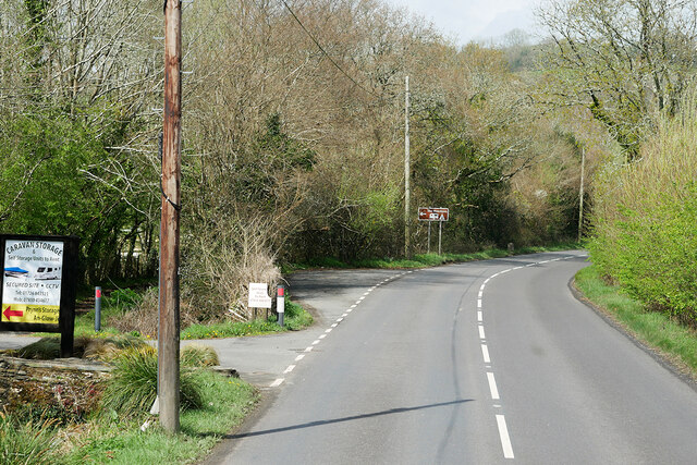
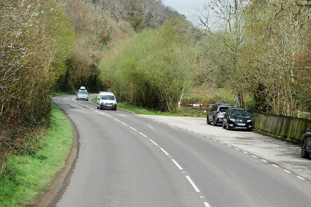
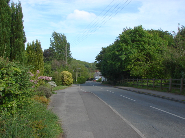
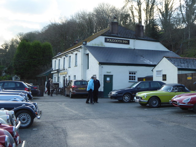
Images are sourced within 2km of 50.311192/-4.7956224 or Grid Reference SX0149. Thanks to Geograph Open Source API. All images are credited.


Shepherdshill Wood is located at Grid Ref: SX0149 (Lat: 50.311192, Lng: -4.7956224)
Unitary Authority: Cornwall
Police Authority: Devon and Cornwall
What 3 Words
///slightly.truffles.quail. Near St Austell, Cornwall
Nearby Locations
Related Wikis

Levalsa Meor
Levalsa Meor is a hamlet in Cornwall, England, UK. It is half a mile south of London Apprentice and 2.5 miles (4.0 km) south-west from St Austell. It is...
London Apprentice
London Apprentice (Cornish: Oberden Loundres) is a village in south Cornwall, England, UK, on the banks of St Austell River in the Pentewan Valley (where...

St Austell parishes
Four new parishes were created in Cornwall, England, United Kingdom for the St Austell area on 1 April 2009. The parishes are: St Austell Town Council...
Trewhiddle
Trewhiddle is a small settlement in south Cornwall, England, United Kingdom. It lies in the civil parish of Pentewan Valley and the ecclesiastical parish...
Nearby Amenities
Located within 500m of 50.311192,-4.7956224Have you been to Shepherdshill Wood?
Leave your review of Shepherdshill Wood below (or comments, questions and feedback).