Trethowel

Settlement in Cornwall

England

Trethowel

Gover Valley This view from the Gover railway viaduct shows a valley once busy with the china clay industry, note the chimney, but now returning to an intense greenness.
This photo was taken from the 1158 Penzance to London Paddington train, having left Truro at 1244 and about to arrive at St Austell.
Gover Valley Credit: Graham Horn

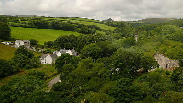
Trethowel is a quaint village located in the county of Cornwall, in the southwest region of England. Situated just a few miles north of the coastal town of St Austell, Trethowel is nestled amidst picturesque countryside, offering residents and visitors alike a peaceful and idyllic setting.

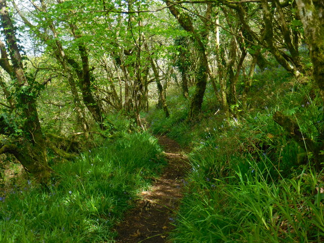
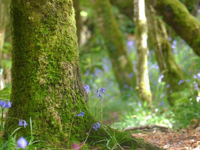
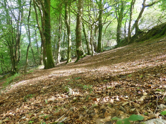
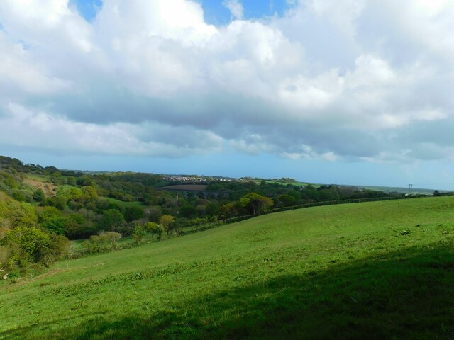
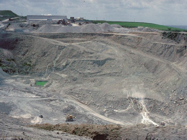
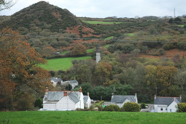
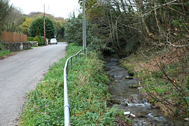
The village is characterized by its charming cottages, many of which date back several centuries, showcasing traditional Cornish architecture. The surrounding landscape is primarily agricultural, with rolling hills, lush green fields, and meandering streams, creating a serene atmosphere.

Trethowel is a close-knit community with a small population, fostering a friendly and welcoming environment. The village is home to a local pub, which serves as a social hub for residents and visitors to gather and enjoy traditional Cornish cuisine and locally brewed ales.

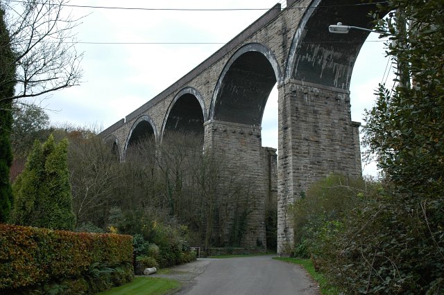
For outdoor enthusiasts, Trethowel provides easy access to the beautiful Cornish countryside. There are numerous walking and hiking trails, allowing visitors to explore the breathtaking natural beauty of the area. Additionally, the nearby coastline offers stunning views and opportunities for beach walks, swimming, and water sports.

Although Trethowel is a peaceful village, it is conveniently located within a short distance of St Austell, where residents can find a wider range of amenities such as shops, supermarkets, schools, and healthcare facilities.

Overall, Trethowel is a charming and tranquil village in Cornwall, offering residents and visitors a taste of rural English life, combined with easy access to the stunning natural beauty of the region.

If you have any feedback on the listing, please let us know in the comments section below.
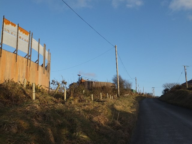
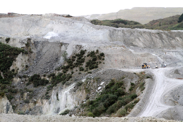
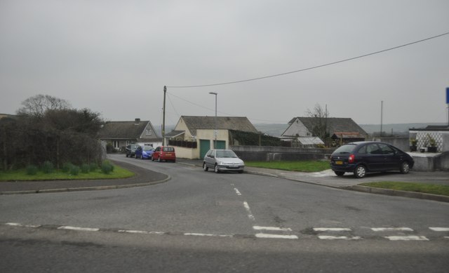
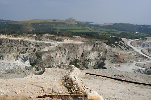
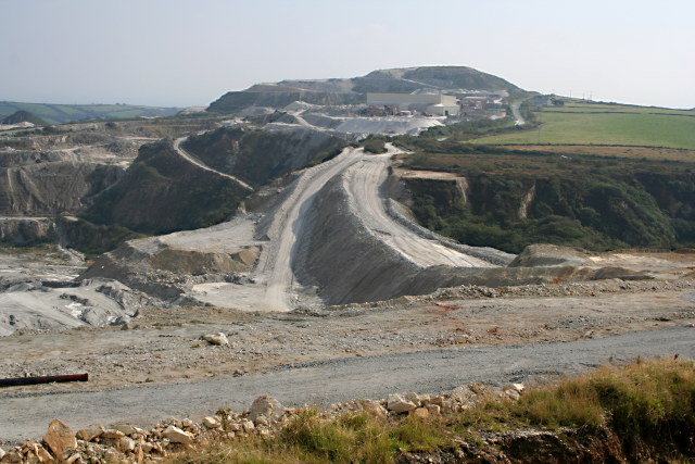
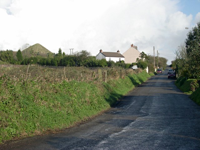
Trethowel Images

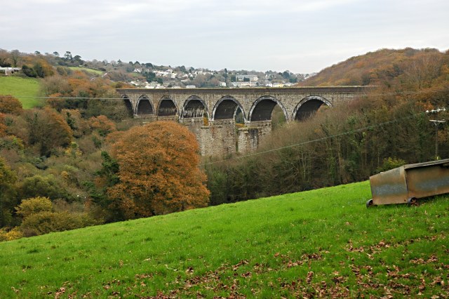
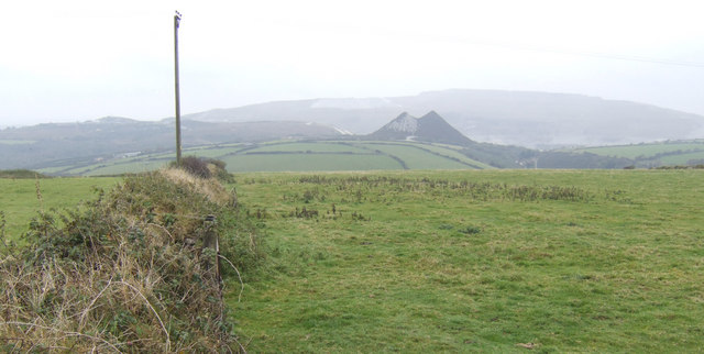
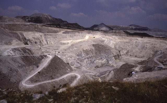
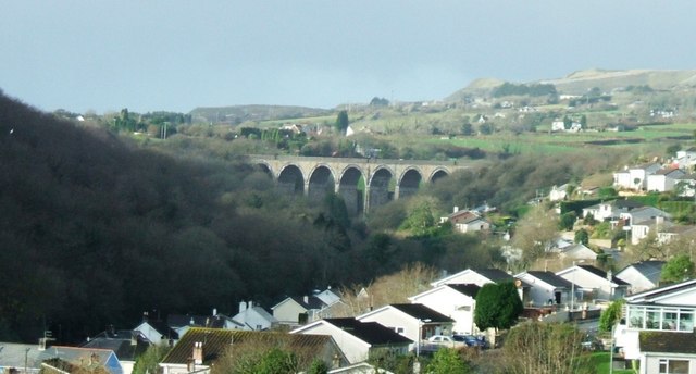
Images are sourced within 2km of 50.352137/-4.796267 or Grid Reference SX0153. Thanks to Geograph Open Source API. All images are credited.

Gover Valley This view from the Gover railway viaduct shows a valley once busy with the china clay industry, note the chimney, but now returning to an intense greenness.
This photo was taken from the 1158 Penzance to London Paddington train, having left Truro at 1244 and about to arrive at St Austell.
Gover Valley
This view from the Gover railway viaduct shows a valley once busy with the china clay industry, note the chimney, but now returning to an intense greenness. This photo was taken from the 1158 Penzance to London Paddington train, having left Truro at 1244 and about to arrive at St Austell.
One of several tanks at Greensplat  This is one of several setting tanks at Greensplat China Clay Works
One of several tanks at Greensplat
This is one of several setting tanks at Greensplat China Clay Works
Wheal Martyn China Clay Mine Seen from the visitors viewpoint associated with the Wheal Martyn China Clay Museum.  At the top left of the photo a high pressure monitor is washing the clay out of the hillside.  The stream of clay-bearing water can then be seen dropping down to the next level of the mine to the right of the yellow digger on the right of the photo.   Finally, the water can be seen dropping down into the bottom of the mine in the lower centre of the photo.   From where it will be pumped to the clay processing works.  There are actually two china clay pits visible from the viewpoint.  As the workings have expanded the two have merged into one.  This end of the mine is the Greensplat end which was operated by Goonvean until 2012 when the company was taken over by Imerys.  The Wheal Martyn end of the mine was already Imerys operated.
Wheal Martyn China Clay Mine
Seen from the visitors viewpoint associated with the Wheal Martyn China Clay Museum. At the top left of the photo a high pressure monitor is washing the clay out of the hillside. The stream of clay-bearing water can then be seen dropping down to the next level of the mine to the right of the yellow digger on the right of the photo. Finally, the water can be seen dropping down into the bottom of the mine in the lower centre of the photo. From where it will be pumped to the clay processing works. There are actually two china clay pits visible from the viewpoint. As the workings have expanded the two have merged into one. This end of the mine is the Greensplat end which was operated by Goonvean until 2012 when the company was taken over by Imerys. The Wheal Martyn end of the mine was already Imerys operated.
Trewoon : Meadow Park Meadow Park in Trewoon heading off of the A3058.
Trewoon : Meadow Park
Meadow Park in Trewoon heading off of the A3058.
Informal Gover Valley Path An informal path in the Upper Gover valley, St Austell, Cornwall, England, UK.
Informal Gover Valley Path
An informal path in the Upper Gover valley, St Austell, Cornwall, England, UK.
Upper Gover Valley Woodland Path A woodland path in the Upper Gover valley, St Austell, Cornwall, England, UK.
Upper Gover Valley Woodland Path
A woodland path in the Upper Gover valley, St Austell, Cornwall, England, UK.
Upper Gover Valley Woodland Woodland in the Upper Gover Valley, St Austell, Cornwall, England, UK.
Upper Gover Valley Woodland
Woodland in the Upper Gover Valley, St Austell, Cornwall, England, UK.
View of Gover Valley from Field A view of the Gover Valley from a field on the hill beside.
View of Gover Valley from Field
A view of the Gover Valley from a field on the hill beside.
Wheal Martyn China Clay Works Seen from a vantage point accessed from the adjacent museum
Wheal Martyn China Clay Works
Seen from a vantage point accessed from the adjacent museum
Railway Viaduct over the Gover Valley This viaduct across the Gover Valley carries the mainline railway through Cornwall.
Railway Viaduct over the Gover Valley
This viaduct across the Gover Valley carries the mainline railway through Cornwall.
Gover Valley There are a few houses at the bottom of the valley but evidence of this area's industrial past is strong with the vegetation covered china clay waste tip top right and an old chimney at the centre.
Gover Valley
There are a few houses at the bottom of the valley but evidence of this area's industrial past is strong with the vegetation covered china clay waste tip top right and an old chimney at the centre.
Stream in the Gover Valley
Looking towards the Gover Viaduct
View west from Trenance Downs The hill pastures give way to the waste tips around the Blackpool china clay pit, see <a href="https://www.geograph.org.uk/photo/574494">SW9854 : Blackpool Pit</a>.
View west from Trenance Downs
The hill pastures give way to the waste tips around the Blackpool china clay pit, see SW9854 : Blackpool Pit.
Wheal Martyn China Clay Works My own view from the viewpoint accessed through the adjacent museum. This is one big hole in the ground.
Wheal Martyn China Clay Works
My own view from the viewpoint accessed through the adjacent museum. This is one big hole in the ground.
Gover Viaduct Gover Viaduct, near St Austell, on the Cornish Mainline. In the background can be seen waste tips from the china-clay industry.
Gover Viaduct
Gover Viaduct, near St Austell, on the Cornish Mainline. In the background can be seen waste tips from the china-clay industry.
The Centre of Wheal Martyn and Greensplat Pit To see the view to the left look at <a href="https://www.geograph.org.uk/photo/974841">SW9955 : The Northern End of Wheal Martyn and Greensplat Pit</a>, for the view to the right look at <a href="https://www.geograph.org.uk/photo/974873">SW9955 : The Southern End of Wheal Martyn and Greensplat Pit</a>.
The Centre of Wheal Martyn and Greensplat Pit
The Southern End of Wheal Martyn and Greensplat Pit To see the view to the left look at <a href="https://www.geograph.org.uk/photo/974860">SW9955 : The Centre of Wheal Martyn and Greensplat Pit</a>.
The Southern End of Wheal Martyn and Greensplat Pit
To see the view to the left look at SW9955 : The Centre of Wheal Martyn and Greensplat Pit.
Show me another place!

Trethowel is located at Grid Ref: SX0153 (Lat: 50.352137, Lng: -4.796267)

Unitary Authority: Cornwall

Police Authority: Devon and Cornwall

What 3 Words

///treetop.audible.icicles. Near St Austell, Cornwall

Related Wikis

Menacuddle

Menacuddle is a historic place, holy well and wooded area in St Austell, Cornwall, UK.The holy well was built in the 15th century and restored by Admiral...

Scredda

Scredda is a hamlet in the civil parish of Treverbyn in mid Cornwall, England, United Kingdom. It lies just north of St Austell. == References ==

The Cornwall College Group

The Cornwall College Group (TCCG; Cornish: Kolji Kernow) is a further education college situated on eight sites throughout Cornwall and Devon, England...

Carclaze

Carclaze is a suburb of the town of St Austell in mid-Cornwall, England, United Kingdom. The suburb forms part of the civil parish of Treverbyn and gives...

Nearby Amenities

Located within 500m of 50.352137,-4.796267
Power: tower
Lat/Long: 50.3547985/-4.7919651
Power: pole
Lat/Long: 50.3541089/-4.8020698
Power: pole
Lat/Long: 50.3542013/-4.8011337
Power: pole
Lat/Long: 50.3538024/-4.7972032
Power: pole
Lat/Long: 50.3533471/-4.7956409
Material: wood
Power: pole
Lat/Long: 50.3530648/-4.7951232
Material: wood
Power: pole
Lat/Long: 50.3521586/-4.7941375
Material: wood
Power: pole
Lat/Long: 50.3508305/-4.7938156
Material: wood
Power: pole
Lat/Long: 50.3499585/-4.7935179
Material: wood
Power: pole
Lat/Long: 50.3496196/-4.7942153
Material: wood
Power: pole
Lat/Long: 50.3495913/-4.7934106
Material: wood
Power: pole
Lat/Long: 50.3492867/-4.7913292
Material: wood
Power: pole
Lat/Long: 50.3547512/-4.7910685
Material: wood
Power: pole
Lat/Long: 50.3547359/-4.790998
Material: wood
Power: pole
Lat/Long: 50.3544963/-4.7909845
Material: wood
Power: pole
Lat/Long: 50.3533985/-4.7909282
Material: wood
Power: pole
Lat/Long: 50.3521397/-4.7908826
Material: wood
Power: pole
Lat/Long: 50.3514372/-4.7903636
Power: pole
Lat/Long: 50.3545716/-4.7992793
Power: pole
Lat/Long: 50.3541489/-4.7984129
Power: pole
Lat/Long: 50.3542293/-4.7991492
Power: pole
Lat/Long: 50.3540505/-4.8005681
Power: pole
Lat/Long: 50.3539213/-4.8014572
Power: pole
Lat/Long: 50.3538332/-4.8021519
Power: pole
Lat/Long: 50.3545836/-4.7977088
Power: pole
Lat/Long: 50.3545169/-4.7958675
Material: wood
Power: pole
Lat/Long: 50.3544818/-4.7945425
Material: wood
Power: pole
Lat/Long: 50.3544262/-4.7927333
Material: wood
Power: pole
Lat/Long: 50.3543996/-4.7917651
Material: wood
Power: pole
Lat/Long: 50.3520815/-4.7892183
Material: wood
Power: pole
Lat/Long: 50.3520867/-4.7894235
Material: wood
Power: pole
Lat/Long: 50.3521654/-4.7896568
Material: wood
Power: pole
Lat/Long: 50.353496/-4.7899586
Material: wood
Power: pole
Lat/Long: 50.3530134/-4.7895268
Material: wood
Power: pole
Lat/Long: 50.353567/-4.7895871
Power: transformer
Lat/Long: 50.3551782/-4.7914865
Power: transformer
Lat/Long: 50.3548853/-4.7911822
Telephone
Booth: KX100
Mapillary: 312269057099076
Lat/Long: 50.3510419/-4.7952728
Post Box
Mapillary: 312269057099076
Post Box Type: lamp
Lat/Long: 50.3510144/-4.7952491
The data included in this document is from www.openstreetmap.org. The data is made available under ODbL.

Have you been to Trethowel?

Leave your review of Trethowel below (or comments, questions and feedback).