Garlenick Wood

Wood, Forest in Cornwall

England

Garlenick Wood

The road to Trenowth Trenowth Woods are on the left, Barn Wood on the right.
The road to Trenowth Credit: Rod Allday

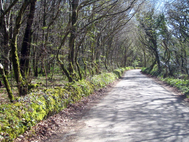
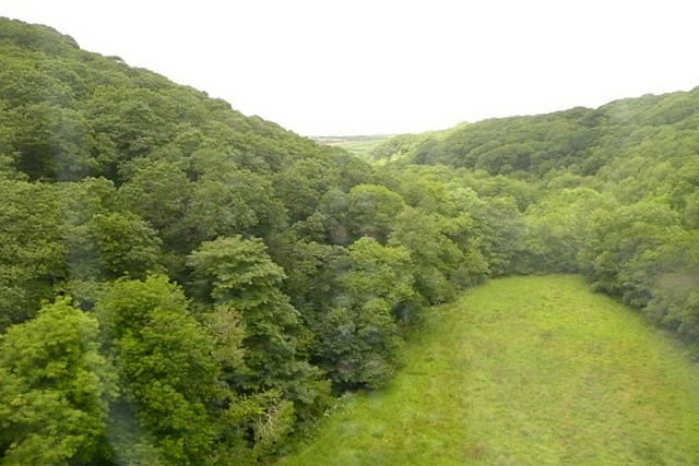
Garlenick Wood is a picturesque woodland located in the county of Cornwall, England. Covering an area of approximately 70 acres, it is known for its natural beauty and diverse ecosystem. The wood is situated near the village of St. Ewe, just a few miles away from the popular tourist destination of Mevagissey.

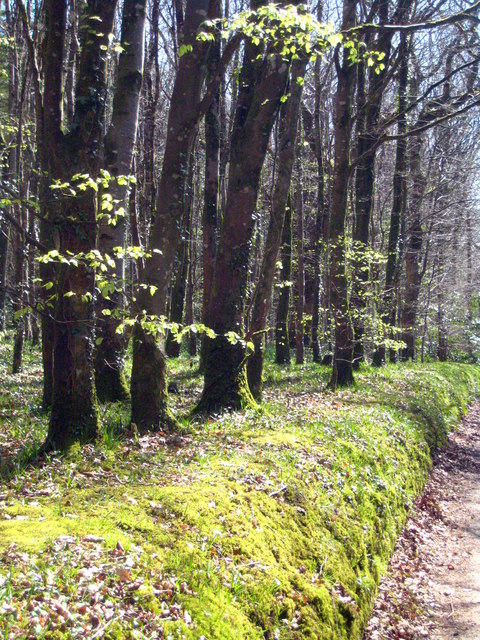
The woodland is predominantly composed of mixed deciduous trees, including oak, beech, and chestnut, which provide a stunning display of colors during the autumn months. The dense canopy offers a sheltered habitat for a wide variety of wildlife, making it a popular spot for nature enthusiasts and birdwatchers.

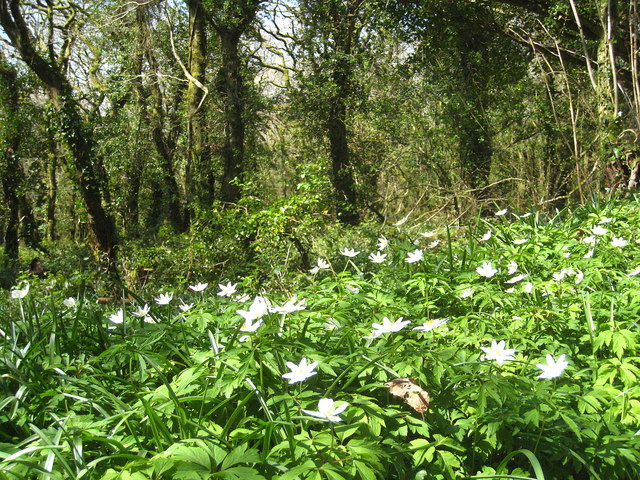
Tranquil footpaths meander through the wood, allowing visitors to explore its natural wonders. These paths lead to a small stream that runs through the wood, adding to its serene and peaceful ambiance. The wood is also home to several species of wildflowers, ferns, and mosses, creating a vibrant carpet of vegetation.

Garlenick Wood is managed by a local conservation organization, ensuring its preservation and protection. The organization conducts regular maintenance to enhance the wood's biodiversity, such as tree planting and the removal of invasive species.

The wood is a haven for wildlife, with sightings of deer, badgers, foxes, and various bird species being common. It also provides an important habitat for rare and endangered species, including the hazel dormouse and lesser horseshoe bat.

Overall, Garlenick Wood offers a tranquil escape into nature, where visitors can immerse themselves in the beauty and tranquility of this idyllic woodland setting.

If you have any feedback on the listing, please let us know in the comments section below.

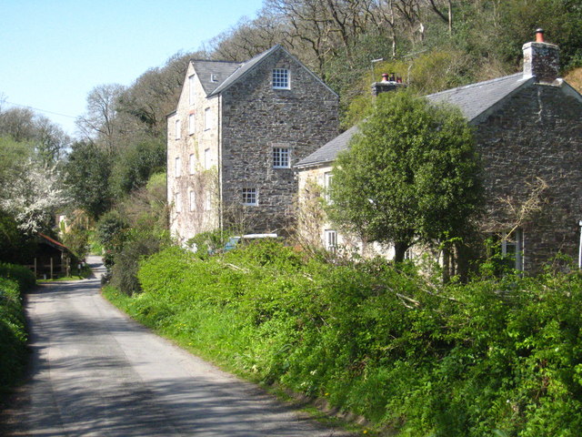
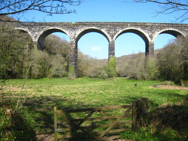
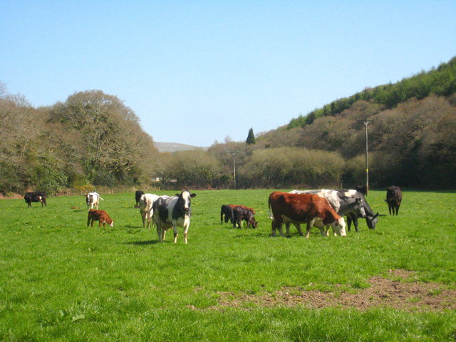
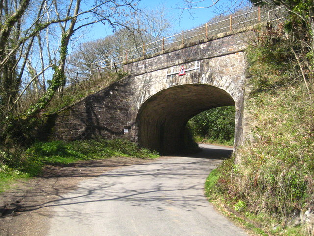
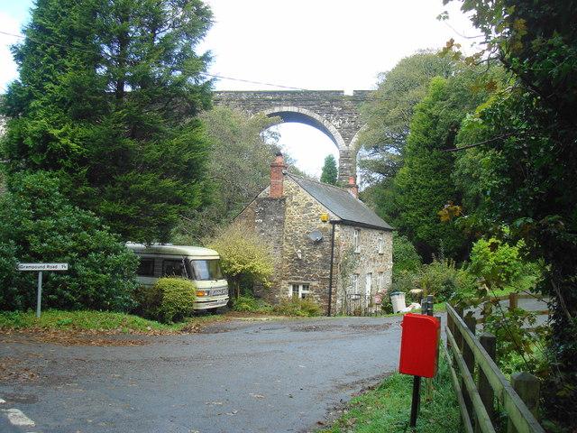
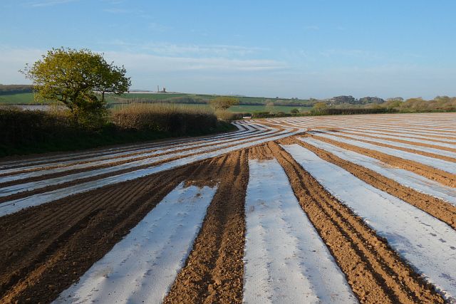
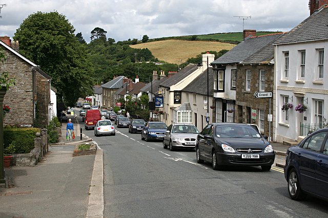
Garlenick Wood Images

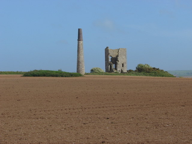
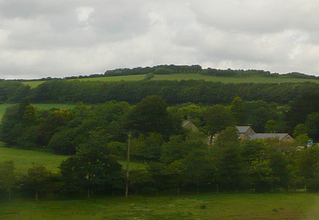
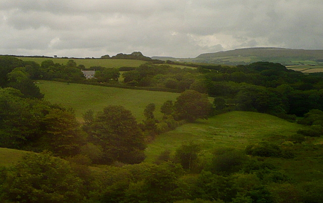
Images are sourced within 2km of 50.313211/-4.8880901 or Grid Reference SW9449. Thanks to Geograph Open Source API. All images are credited.

The road to Trenowth Trenowth Woods are on the left, Barn Wood on the right.
The road to Trenowth
Trenowth Woods are on the left, Barn Wood on the right.
Beech trees in Trenowth Wood The fresh green of new leaves just beginning to appear.
Beech trees in Trenowth Wood
The fresh green of new leaves just beginning to appear.
Wood anemones (Anemone nemorosa) on the roadside bank On the edge of Barn Wood.
Wood anemones (Anemone nemorosa) on the roadside bank
On the edge of Barn Wood.
Field at Trenowth I'm not sure what the yellow haze is - buttercups, dandelions or charlock possibly? The line of trees is along the footpath from Trenowth to Benallack,
Field at Trenowth
I'm not sure what the yellow haze is - buttercups, dandelions or charlock possibly? The line of trees is along the footpath from Trenowth to Benallack,
Trenowth Mill Dating from the early to mid-C19th and Grade II listed, now converted to residential accommodation. According to the listing description, the mill was used in connection with the china clay industry.
Trenowth Mill
Dating from the early to mid-C19th and Grade II listed, now converted to residential accommodation. According to the listing description, the mill was used in connection with the china clay industry.
Railway viaduct at Trenowth Carrying the Paddington-Penzance main line across the valley of the River Fal.
Railway viaduct at Trenowth
Carrying the Paddington-Penzance main line across the valley of the River Fal.
Cattle in pasture at Trenowth Mill On the valley floor of the River Fal.
Cattle in pasture at Trenowth Mill
On the valley floor of the River Fal.
Railway bridge at Trenowth Carrying the Paddington-Penzance main line.
Railway bridge at Trenowth
Carrying the Paddington-Penzance main line.
Ventonwyn Mine The engine house of this small mine perched on its hilltop, making it a local landmark that can be seen from miles around. The mine was worked in the 19th century, mainly for tin. In the later years of the 19th century it was incorporated into the Great Dowgas mine and finally closed down in about 1910. The shaft that this engine served was about 350 feet deep. There is a well known contemporary photograph of a group of miners posing in front of the engine house in the late 19th century.
Ventonwyn Mine
The engine house of this small mine perched on its hilltop, making it a local landmark that can be seen from miles around. The mine was worked in the 19th century, mainly for tin. In the later years of the 19th century it was incorporated into the Great Dowgas mine and finally closed down in about 1910. The shaft that this engine served was about 350 feet deep. There is a well known contemporary photograph of a group of miners posing in front of the engine house in the late 19th century.
Woodland at Trenowth The house at Trenowth is completely hidden by these extensive woodlands.  This is the brief glimpse you get from the railway viaduct.
This photo was taken from the 1158 Penzance to London Paddington train, having left Truro at 1244.
Woodland at Trenowth
The house at Trenowth is completely hidden by these extensive woodlands. This is the brief glimpse you get from the railway viaduct. This photo was taken from the 1158 Penzance to London Paddington train, having left Truro at 1244.
Spring Farm This view from the Resugga railway viaduct west of Coombe shows the farm almost hidden in woodland.  But there are pastures around it.
This photo was taken from the 1158 Penzance to London Paddington train, having left Truro at 1244.
Spring Farm
This view from the Resugga railway viaduct west of Coombe shows the farm almost hidden in woodland. But there are pastures around it. This photo was taken from the 1158 Penzance to London Paddington train, having left Truro at 1244.
Green Lane This view from the Resugga railway viaduct west of Coombe shows how green the area is.  Lots of pastures and woodland, but with the China Clay areas of St Austell on the horizon.
This photo was taken from the 1158 Penzance to London Paddington train, having left Truro at 1244.
Green Lane
This view from the Resugga railway viaduct west of Coombe shows how green the area is. Lots of pastures and woodland, but with the China Clay areas of St Austell on the horizon. This photo was taken from the 1158 Penzance to London Paddington train, having left Truro at 1244.
Viaduct Railway viaduct carrying London to Penzance trains.
Viaduct
Railway viaduct carrying London to Penzance trains.
View from a train just passed Grampound Road This is the view towards Trenoweth Wood from a train travelling towards St Austell from Truro.
View from a train just passed Grampound Road
This is the view towards Trenoweth Wood from a train travelling towards St Austell from Truro.
Railway at Trenowth Passenger train passing the farm at Trenowth.
Railway at Trenowth
Passenger train passing the farm at Trenowth.
Grampound - Town Hall The Town Hall (now parish room) with its attractive clock tower probably dates from the early C18th but with C19th and C20th alterations, including the rebuilding of the clock tower in c.1982
It is called the 'town' hall although Grampound is only a village.
It is EH Grade II listed: <span class="nowrap"><a title="https://historicengland.org.uk/listing/the-list/list-entry/1144042" rel="nofollow ugc noopener" href="https://historicengland.org.uk/listing/the-list/list-entry/1144042">Link</a><img style="margin-left:2px;" alt="External link" title="External link - shift click to open in new window" src="https://s1.geograph.org.uk/img/external.png" width="10" height="10"/></span>
In front of it can be seen <a href="https://www.geograph.org.uk/photo/7055574">SW9348 : Old Central Cross on the A390 Fore Street in Grampound</a> which is also Grade II listed <span class="nowrap"><a title="https://historicengland.org.uk/listing/the-list/list-entry/1136383" rel="nofollow ugc noopener" href="https://historicengland.org.uk/listing/the-list/list-entry/1136383">Link</a><img style="margin-left:2px;" alt="External link" title="External link - shift click to open in new window" src="https://s1.geograph.org.uk/img/external.png" width="10" height="10"/></span>
Grampound - Town Hall
The Town Hall (now parish room) with its attractive clock tower probably dates from the early C18th but with C19th and C20th alterations, including the rebuilding of the clock tower in c.1982 It is called the 'town' hall although Grampound is only a village. It is EH Grade II listed: LinkExternal link In front of it can be seen SW9348 : Old Central Cross on the A390 Fore Street in Grampound which is also Grade II listed LinkExternal link
Old Central Cross on the A390 Fore Street in Grampound Grampound Market Cross, the old shaft, base and steps of a central cross. Set on the northeast side of the T junction of the A390 Fore Street and Pepo Lane in Grampound with Creed parish. Grade II Listed <span class="nowrap"><a title="https://historicengland.org.uk/listing/the-list/list-entry/1136383" rel="nofollow ugc noopener" href="https://historicengland.org.uk/listing/the-list/list-entry/1136383">Link</a><img style="margin-left:2px;" alt="External link" title="External link - shift click to open in new window" src="https://s1.geograph.org.uk/img/external.png" width="10" height="10"/></span>. See also <a title="https://www.geograph.org.uk/photo/6988067" href="https://www.geograph.org.uk/photo/6988067">Link</a>.

Milestone Society National ID: CWRE_GRA04
Old Central Cross on the A390 Fore Street in Grampound
Grampound Market Cross, the old shaft, base and steps of a central cross. Set on the northeast side of the T junction of the A390 Fore Street and Pepo Lane in Grampound with Creed parish. Grade II Listed LinkExternal link. See also Link. Milestone Society National ID: CWRE_GRA04
Farmland, Creed With plastic for protection and Ventonwyn Mine seen in the distance.
Farmland, Creed
With plastic for protection and Ventonwyn Mine seen in the distance.
Show me another place!

Garlenick Wood is located at Grid Ref: SW9449 (Lat: 50.313211, Lng: -4.8880901)

Unitary Authority: Cornwall

Police Authority: Devon and Cornwall

What 3 Words

///hooks.retrial.newer. Near St Stephen, Cornwall

Nearby Locations

Garlenick Wood

Related Wikis

Coombe, St Stephen-in-Brannel

Coombe (Cornish: Komm) is a village in mid Cornwall, England, United Kingdom. The village is situated approximately four miles (6 km) west of St Austell...

Grampound with Creed

Grampound with Creed (Cornish: Ponsmeur a'byth Sen Krida) is a civil parish in Cornwall, England, United Kingdom. The two major settlements in the parish...
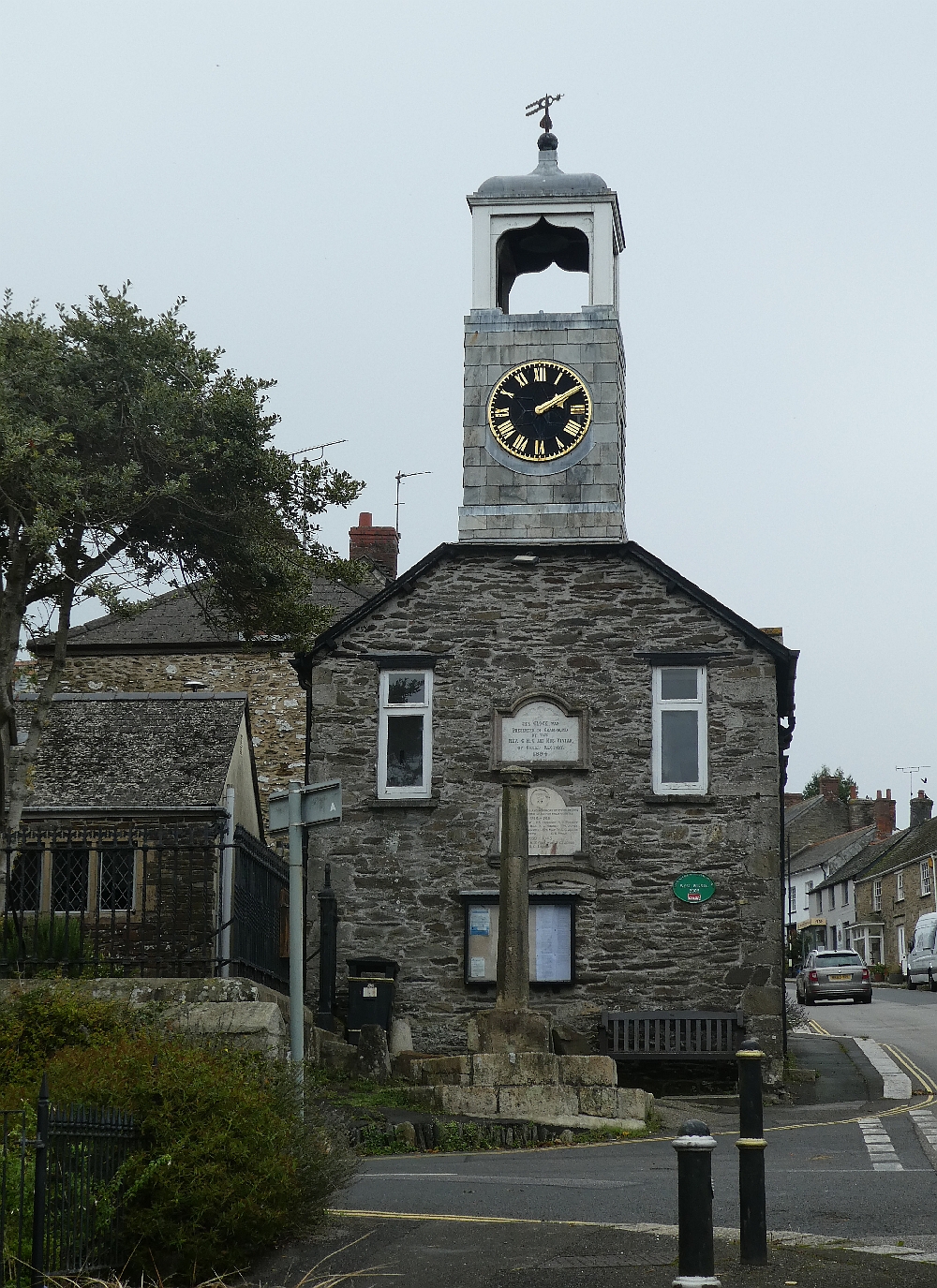
Grampound Town Hall

Grampound Town Hall is a municipal building in Fore Street, Grampound, Cornwall, England. The structure, which now accommodates a heritage centre, is a...

Grampound

Grampound (Cornish: Ponsmeur) is a village and former civil parish, now in the parish of Grampound with Creed, in the Cornwall district, in the ceremonial...

Nearby Amenities

Located within 500m of 50.313211,-4.8880901
The data included in this document is from www.openstreetmap.org. The data is made available under ODbL.

Have you been to Garlenick Wood?

Leave your review of Garlenick Wood below (or comments, questions and feedback).