Bodinnick Wood

Wood, Forest in Cornwall

England

Bodinnick Wood

Trenowth Mill Dating from the early to mid-C19th and Grade II listed, now converted to residential accommodation. According to the listing description, the mill was used in connection with the china clay industry.
Trenowth Mill Credit: Rod Allday

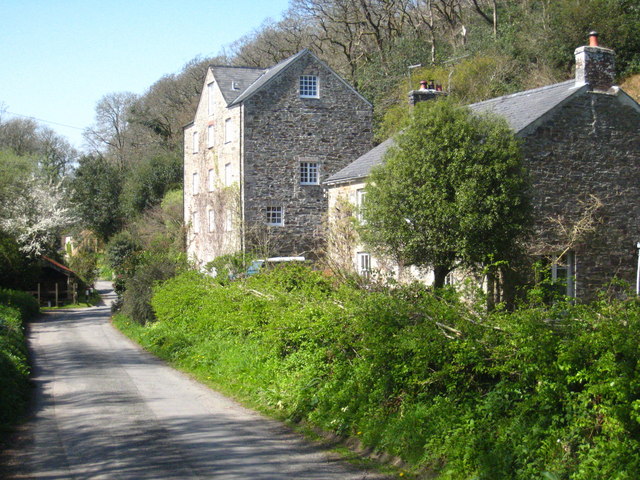
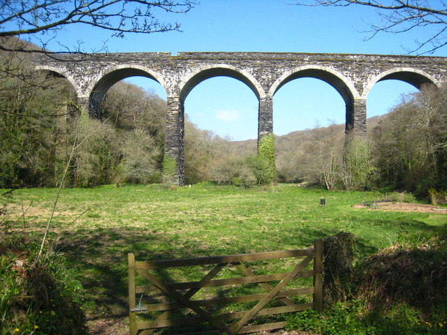
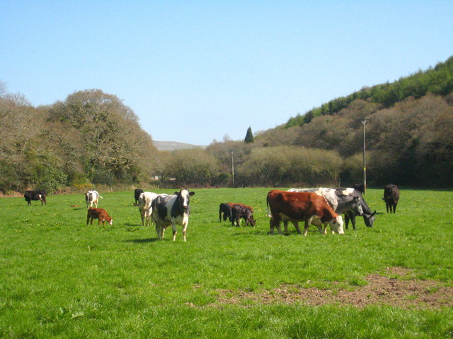
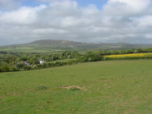
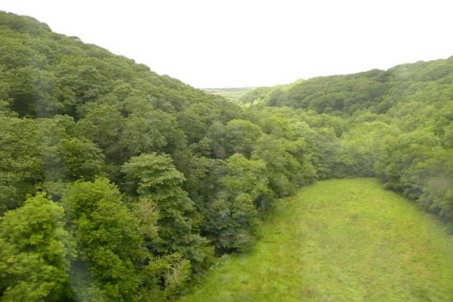
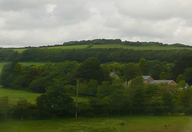
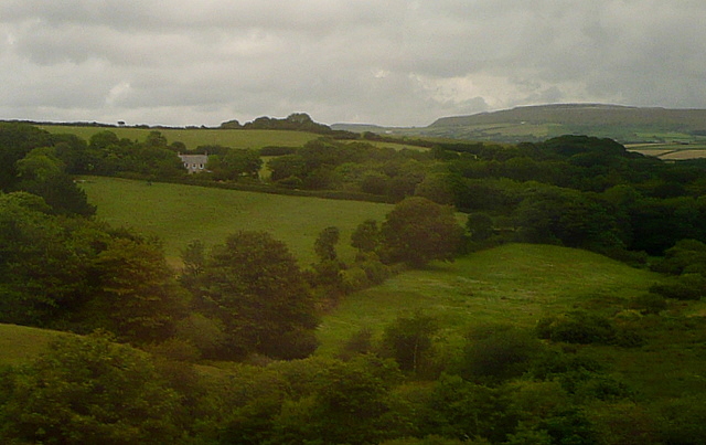
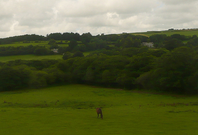
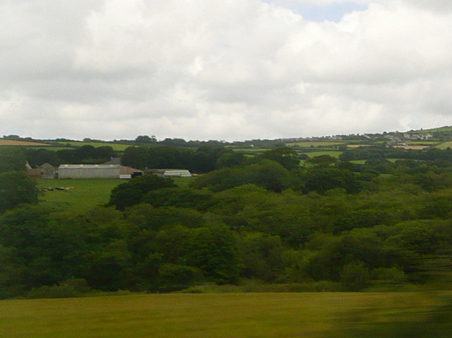
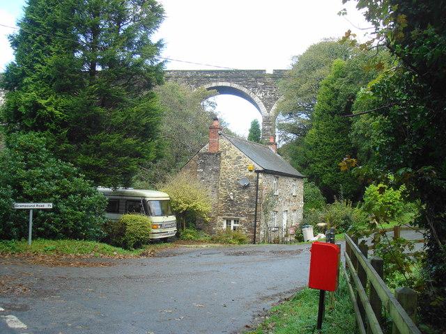
Bodinnick Wood is a picturesque forest located in Cornwall, England. Situated near the village of Bodinnick, the wood covers an area of approximately 40 acres. The forest is part of the larger Fowey Estuary Area of Outstanding Natural Beauty, and its stunning landscape attracts nature enthusiasts and hikers from near and far.

Bodinnick Wood is primarily composed of a variety of deciduous trees, including oak, beech, and ash. These trees provide a rich habitat for numerous species of wildlife, such as birds, squirrels, and deer. The forest floor is also home to a diverse range of plant life, including bluebells, wild garlic, and ferns, creating a vibrant and colorful environment.

Trails wind their way through the wood, offering visitors the opportunity to explore its natural beauty. The paths are well-maintained and clearly marked, making it easy for hikers of all levels to navigate. Along the way, there are several viewpoints that provide breathtaking vistas of the surrounding countryside, including the nearby Fowey River.

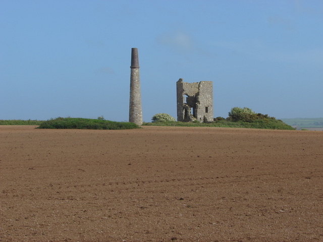
Bodinnick Wood is not only a haven for nature lovers but also a place of historical significance. The forest is said to have inspired the renowned author Daphne du Maurier, who lived in the nearby village of Fowey. Her love for the area is evident in many of her novels, which often feature the enchanting landscapes of Cornwall.

Overall, Bodinnick Wood offers a tranquil escape into nature, where visitors can immerse themselves in the beauty of the forest, take in stunning views, and experience the rich history and biodiversity of Cornwall.

If you have any feedback on the listing, please let us know in the comments section below.

Bodinnick Wood Images

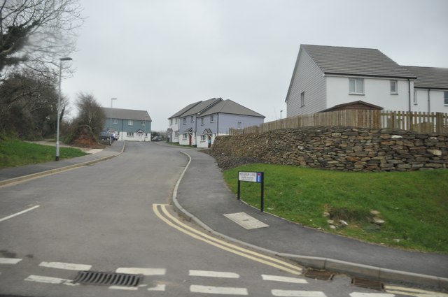
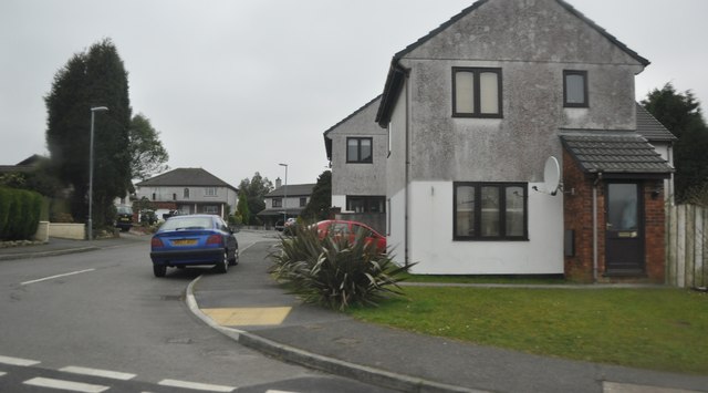
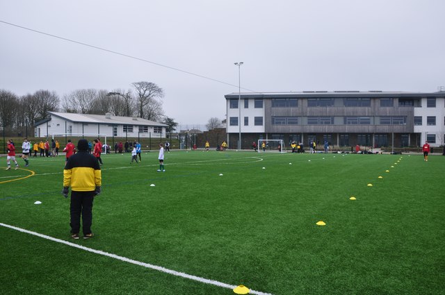
Images are sourced within 2km of 50.330834/-4.8797437 or Grid Reference SW9551. Thanks to Geograph Open Source API. All images are credited.

Trenowth Mill Dating from the early to mid-C19th and Grade II listed, now converted to residential accommodation. According to the listing description, the mill was used in connection with the china clay industry.
Trenowth Mill
Dating from the early to mid-C19th and Grade II listed, now converted to residential accommodation. According to the listing description, the mill was used in connection with the china clay industry.
Railway viaduct at Trenowth Carrying the Paddington-Penzance main line across the valley of the River Fal.
Railway viaduct at Trenowth
Carrying the Paddington-Penzance main line across the valley of the River Fal.
Cattle in pasture at Trenowth Mill On the valley floor of the River Fal.
Cattle in pasture at Trenowth Mill
On the valley floor of the River Fal.
Dowgas Farm A view across Dowgas Farm towards the massive waste tips of the clay pits north of St Austell.
Dowgas Farm
A view across Dowgas Farm towards the massive waste tips of the clay pits north of St Austell.
Ventonwyn Mine The engine house of this small mine perched on its hilltop, making it a local landmark that can be seen from miles around. The mine was worked in the 19th century, mainly for tin. In the later years of the 19th century it was incorporated into the Great Dowgas mine and finally closed down in about 1910. The shaft that this engine served was about 350 feet deep. There is a well known contemporary photograph of a group of miners posing in front of the engine house in the late 19th century.
Ventonwyn Mine
The engine house of this small mine perched on its hilltop, making it a local landmark that can be seen from miles around. The mine was worked in the 19th century, mainly for tin. In the later years of the 19th century it was incorporated into the Great Dowgas mine and finally closed down in about 1910. The shaft that this engine served was about 350 feet deep. There is a well known contemporary photograph of a group of miners posing in front of the engine house in the late 19th century.
Woodland at Trenowth The house at Trenowth is completely hidden by these extensive woodlands.  This is the brief glimpse you get from the railway viaduct.
This photo was taken from the 1158 Penzance to London Paddington train, having left Truro at 1244.
Woodland at Trenowth
The house at Trenowth is completely hidden by these extensive woodlands. This is the brief glimpse you get from the railway viaduct. This photo was taken from the 1158 Penzance to London Paddington train, having left Truro at 1244.
Spring Farm This view from the Resugga railway viaduct west of Coombe shows the farm almost hidden in woodland.  But there are pastures around it.
This photo was taken from the 1158 Penzance to London Paddington train, having left Truro at 1244.
Spring Farm
This view from the Resugga railway viaduct west of Coombe shows the farm almost hidden in woodland. But there are pastures around it. This photo was taken from the 1158 Penzance to London Paddington train, having left Truro at 1244.
Green Lane This view from the Resugga railway viaduct west of Coombe shows how green the area is.  Lots of pastures and woodland, but with the China Clay areas of St Austell on the horizon.
This photo was taken from the 1158 Penzance to London Paddington train, having left Truro at 1244.
Green Lane
This view from the Resugga railway viaduct west of Coombe shows how green the area is. Lots of pastures and woodland, but with the China Clay areas of St Austell on the horizon. This photo was taken from the 1158 Penzance to London Paddington train, having left Truro at 1244.
Pasture at Hendra View of pastures next to the railway, with the farm, Hendra, in the middle distance to the right.
This photo was taken from the 1158 Penzance to London Paddington train, having left Truro at 1244.
Pasture at Hendra
View of pastures next to the railway, with the farm, Hendra, in the middle distance to the right. This photo was taken from the 1158 Penzance to London Paddington train, having left Truro at 1244.
View towards Hendra The farm Hendra, seen from the railway.  The map indicates a water works here, hidden in the woodland lower down in the centre of the picture.
This photo was taken from the 1158 Penzance to London Paddington train, having left Truro at 1244.
View towards Hendra
The farm Hendra, seen from the railway. The map indicates a water works here, hidden in the woodland lower down in the centre of the picture. This photo was taken from the 1158 Penzance to London Paddington train, having left Truro at 1244.
Viaduct Railway viaduct carrying London to Penzance trains.
Viaduct
Railway viaduct carrying London to Penzance trains.
The leaf busting train During the autumn the leaf busting train runs to blast the leaves off the line by high-pressure water jets.  This shows the jet train heading towards Burngullow from Truro.  The up line that the train is travelling over has been relaid recently after the line was singled in the 1980s as a cost-saving exercise.  The line is now double track again.
The leaf busting train
During the autumn the leaf busting train runs to blast the leaves off the line by high-pressure water jets. This shows the jet train heading towards Burngullow from Truro. The up line that the train is travelling over has been relaid recently after the line was singled in the 1980s as a cost-saving exercise. The line is now double track again.
St Stephen : Small Road A small road heading up the hill towards residential houses.
St Stephen : Small Road
A small road heading up the hill towards residential houses.
St Stephen : Park Gwyn Park Gwyn and houses in the suburbs of St Stephen.
St Stephen : Park Gwyn
Park Gwyn and houses in the suburbs of St Stephen.
St Stephen : Brannel School Sports Pitch A small all weather pitch being used today to play football.
St Stephen : Brannel School Sports Pitch
A small all weather pitch being used today to play football.
St Stephen : Grassy Field A grassy field and countryside as seen from St Stephen.
St Stephen : Grassy Field
A grassy field and countryside as seen from St Stephen.
St Stephen : Brannel School Sports Pitch A sports pitch being used for Sunday morning football here at Brannel School.
St Stephen : Brannel School Sports Pitch
A sports pitch being used for Sunday morning football here at Brannel School.
St Stephen : Brannel School Sports Pitch People playing football at Brannel School on a cold Sunday morning.
St Stephen : Brannel School Sports Pitch
People playing football at Brannel School on a cold Sunday morning.
Show me another place!

Bodinnick Wood is located at Grid Ref: SW9551 (Lat: 50.330834, Lng: -4.8797437)

Unitary Authority: Cornwall

Police Authority: Devon and Cornwall

What 3 Words

///immediate.senders.glare. Near St Stephen, Cornwall

Nearby Locations

Coombe Bodinnick Wood

Related Wikis

Coombe, St Stephen-in-Brannel

Coombe (Cornish: Komm) is a village in mid Cornwall, England, United Kingdom. The village is situated approximately four miles (6 km) west of St Austell...

Roseland Observatory

Roseland Observatory is located in Court Farm, one mile (1.6 km) southeast of St Stephen-in-Brannel, in mid Cornwall, England, United Kingdom. Roseland...

Brannel School

Brannel School is a co-educational secondary school located in St Stephen-in-Brannel, in Cornwall, England, UK. There are around 750 children aged 11–16...

St Stephen-in-Brannel

St Stephen-in-Brannel (known locally as St Stephen's or St Stephen) (Cornish: Eglosstefan yn Branel) is a civil parish and village in mid Cornwall, England...

Nearby Amenities

Located within 500m of 50.330834,-4.8797437
Coombe
Alt Name: St Stephens Coombe
Is In County: Cornwall
Name Kw: Komm
Place: village
Source: OSStreetView
Source Alt Name: NPE
Wikidata: Q5167586
Lat/Long: 50.3282375/-4.8800836
Barrier: kissing_gate
Bicycle: no
Foot: designated
Horse: no
Level: 1
Motor Vehicle: no
Lat/Long: 50.3278305/-4.8781873
Telephone
Booth: K6
Covered: booth
Man Made: telephone_box
Lat/Long: 50.3297851/-4.8787433
The data included in this document is from www.openstreetmap.org. The data is made available under ODbL.

Have you been to Bodinnick Wood?

Leave your review of Bodinnick Wood below (or comments, questions and feedback).