Chartershall
Settlement in Stirlingshire
Scotland
Chartershall
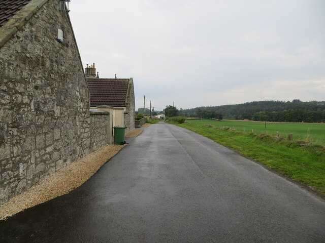
Chartershall is a small village located in the Stirling council area of central Scotland. Situated approximately 3 miles to the east of Stirling city, Chartershall is nestled amongst picturesque countryside, offering residents a peaceful and rural setting.
The village is primarily known for its history in the mining industry. In the early 1900s, a coal mine was established in Chartershall, which played a significant role in the local economy. The mine operated until the mid-1960s, after which it was closed down. Today, the former mine site is home to a large industrial estate, providing employment opportunities to the local community.
Despite its industrial past, Chartershall has managed to maintain its charming and quiet atmosphere. The village features a mix of residential properties, ranging from traditional cottages to modern houses. The surrounding countryside offers ample opportunities for outdoor activities, such as walking, cycling, and horse riding.
Although Chartershall itself does not have many amenities, its close proximity to Stirling ensures that residents have easy access to a wide range of services and facilities. Stirling city offers a variety of shops, supermarkets, restaurants, and recreational attractions, including Stirling Castle and the Wallace Monument.
Overall, Chartershall presents an attractive option for those seeking a peaceful countryside lifestyle while still being within reach of urban conveniences.
If you have any feedback on the listing, please let us know in the comments section below.
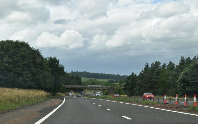
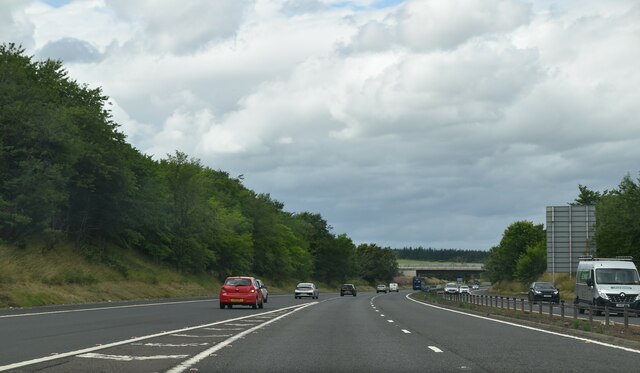
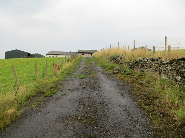
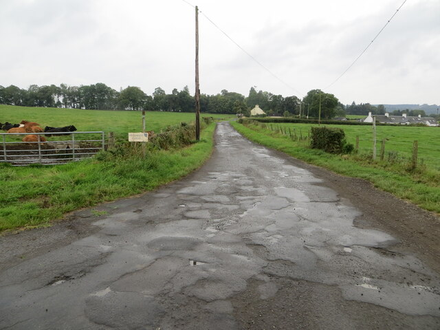
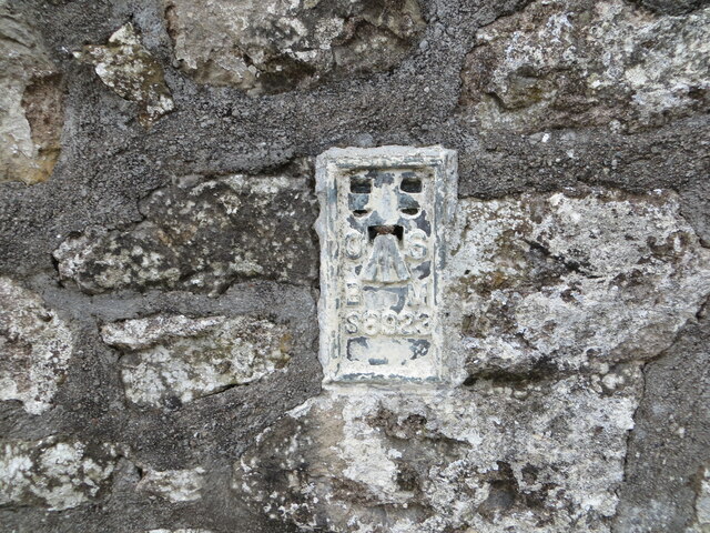
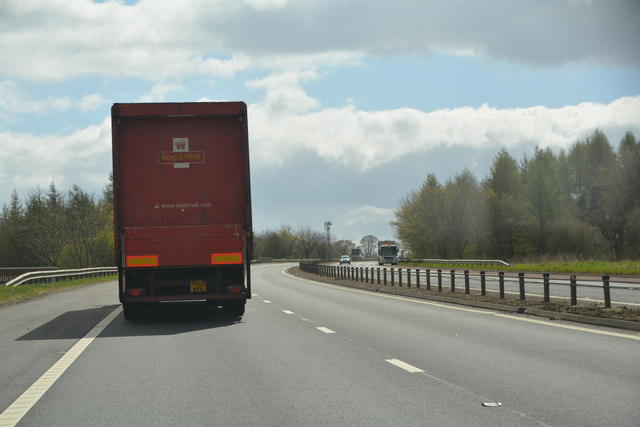
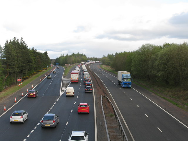
Chartershall Images
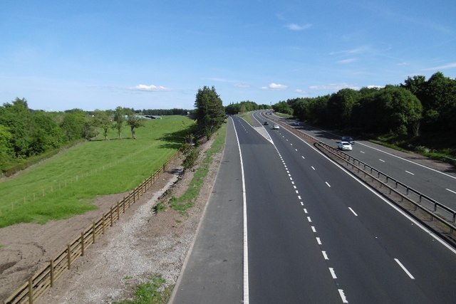
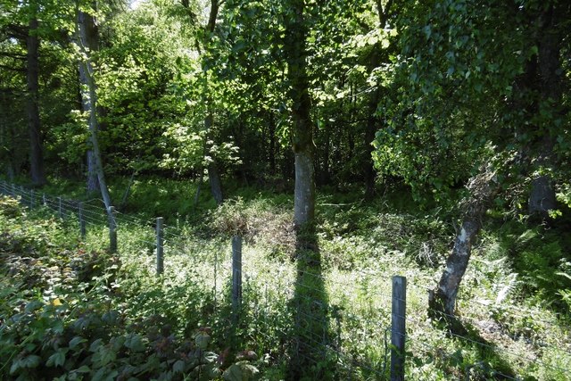
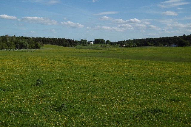
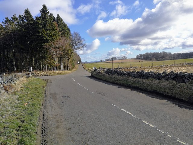
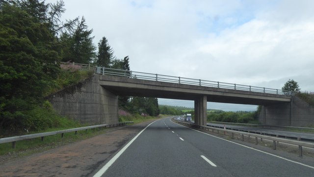
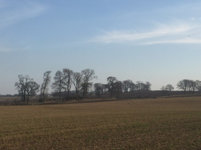
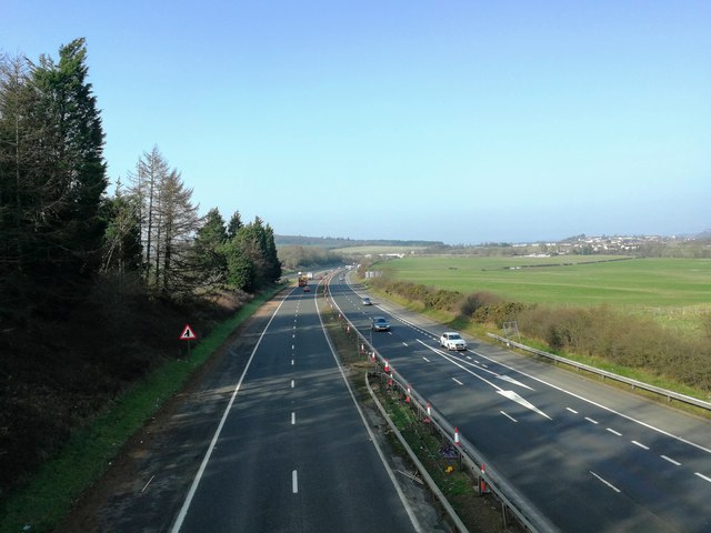
Images are sourced within 2km of 56.090229/-3.941831 or Grid Reference NS7990. Thanks to Geograph Open Source API. All images are credited.


Chartershall is located at Grid Ref: NS7990 (Lat: 56.090229, Lng: -3.941831)
Unitary Authority: Stirling
Police Authority: Forth Valley
What 3 Words
///ships.sorters.toned. Near Bannockburn, Stirling
Nearby Locations
Related Wikis
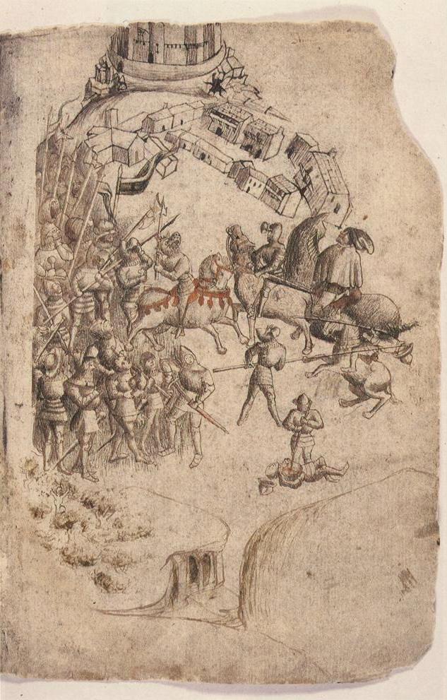
Battle of Bannockburn
The Battle of Bannockburn (Scottish Gaelic: Blàr Allt nam Bànag or Blàr Allt a' Bhonnaich) was fought on 23–24 June 1314, between the army of Robert the...
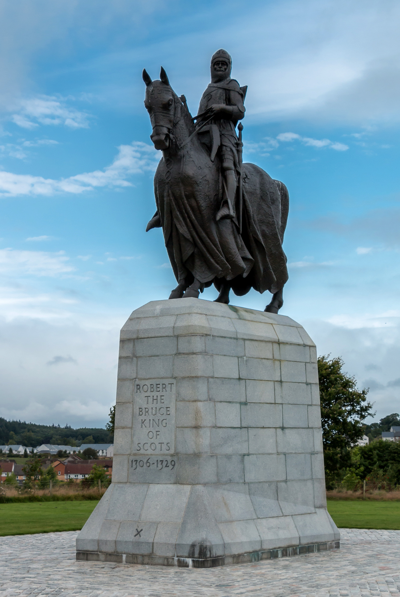
Equestrian statue of Robert the Bruce, Bannockburn
The equestrian statue of Robert the Bruce at the Bannockburn Visitor Centre, Bannockburn, Stirling, is a 1964 work by Pilkington Jackson. == Description... ==

Broomridge
Broomridge is a district in the south of the city of Stirling, Scotland, located north of Bannockburn and east of St. Ninians. It is home to Bannockburn...

St. Ninians
St. Ninians is a long-standing settlement which is now a district of the city of Stirling in central Scotland. It is located approximately one mile south...
Nearby Amenities
Located within 500m of 56.090229,-3.941831Have you been to Chartershall?
Leave your review of Chartershall below (or comments, questions and feedback).