Borestone Brae
Hill, Mountain in Stirlingshire
Scotland
Borestone Brae
Borestone Brae, located in Stirlingshire, Scotland, is a picturesque hill or mountain that offers stunning views and a peaceful escape for nature enthusiasts. Rising to an elevation of approximately 355 meters (1,165 feet), it is a popular destination for hikers and walkers seeking a moderate-level challenge.
The hill is characterized by its rocky terrain and heather-covered slopes, which create a rugged and wild beauty. Its summit provides panoramic vistas of the surrounding countryside, including the nearby Loch Ard and Loch Chon, as well as the Trossachs National Park. On clear days, it is even possible to see as far as Ben Lomond and the Campsie Fells.
Borestone Brae is accessible from a few different starting points, with the most common being the village of Kinlochard. From there, a well-marked path leads through a mixture of woodland and open moorland, before ascending to the summit. The route is relatively straightforward, although sturdy footwear is recommended due to the uneven terrain.
Aside from its natural beauty, Borestone Brae also holds historical significance. At the summit, there is a cairn dedicated to Queen Victoria’s Jubilee, which was erected in 1887. The cairn marks the spot where Queen Victoria is said to have enjoyed the panoramic views during her visit to the area.
Overall, Borestone Brae is a wonderful destination for nature lovers and outdoor enthusiasts longing for a peaceful and scenic adventure in the heart of Scotland.
If you have any feedback on the listing, please let us know in the comments section below.
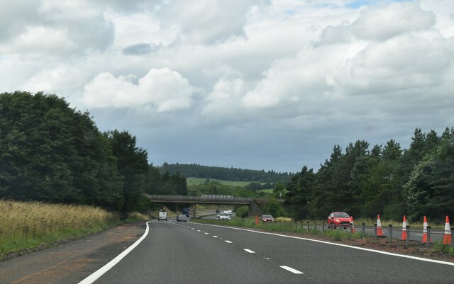
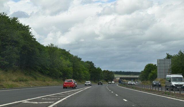
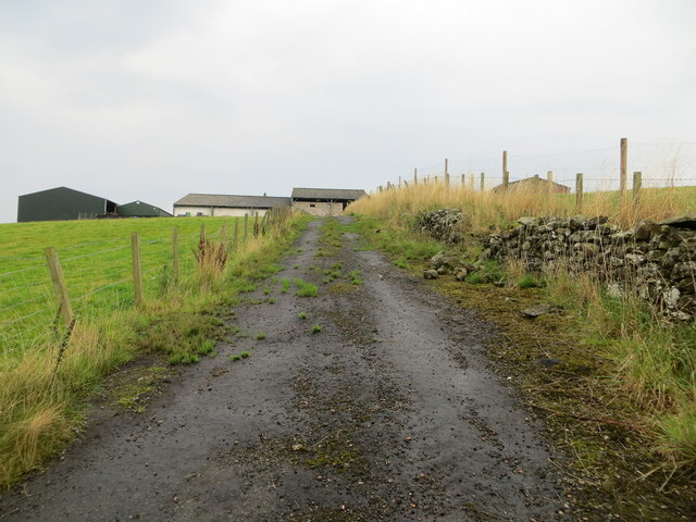
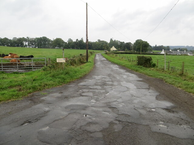
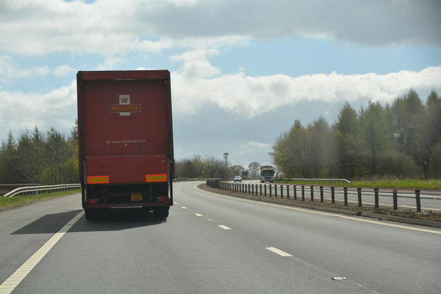
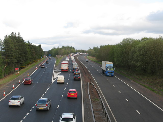
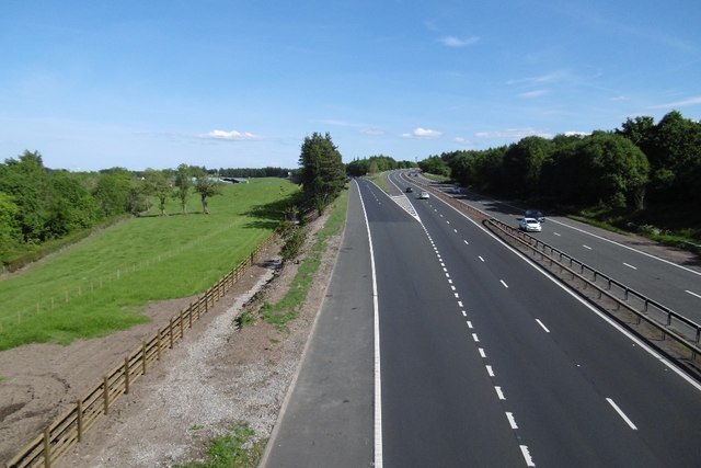
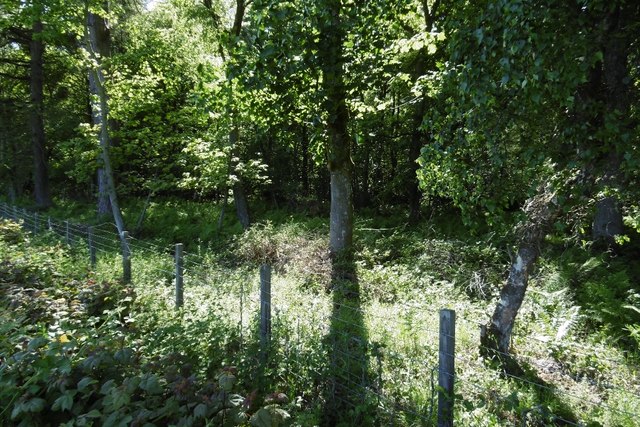
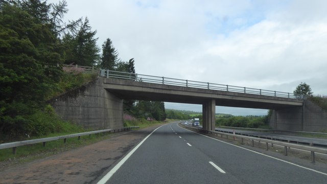
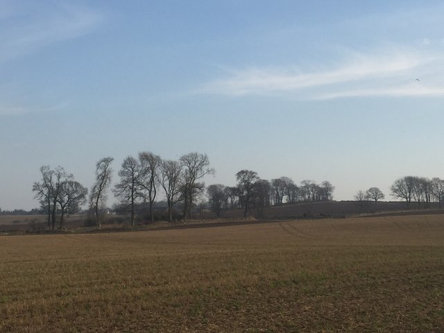
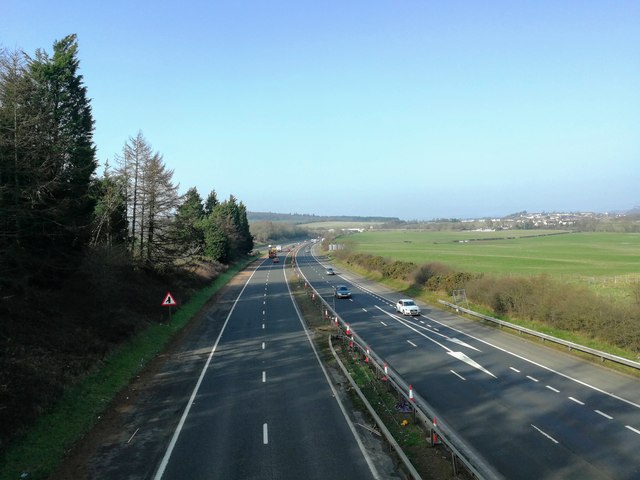
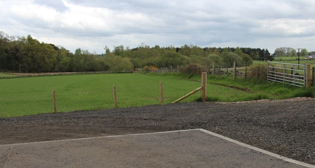
Borestone Brae Images
Images are sourced within 2km of 56.093307/-3.9378096 or Grid Reference NS7990. Thanks to Geograph Open Source API. All images are credited.


Borestone Brae is located at Grid Ref: NS7990 (Lat: 56.093307, Lng: -3.9378096)
Unitary Authority: Stirling
Police Authority: Forth Valley
What 3 Words
///bright.chew.clash. Near Bannockburn, Stirling
Nearby Locations
Related Wikis
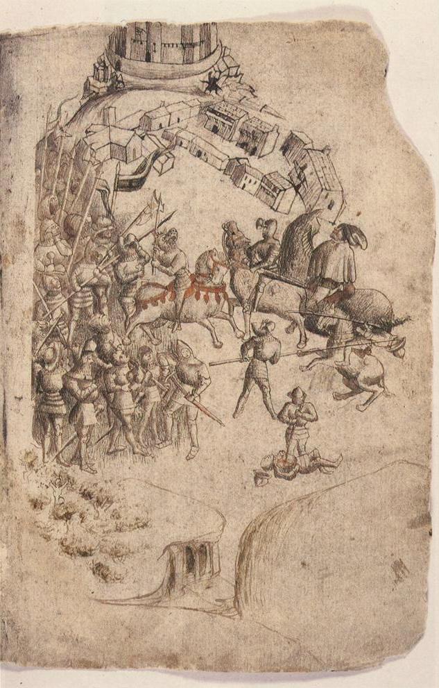
Battle of Bannockburn
The Battle of Bannockburn (Scottish Gaelic: Blàr Allt nam Bànag or Blàr Allt a' Bhonnaich) was fought on 23–24 June 1314, between the army of Robert the...
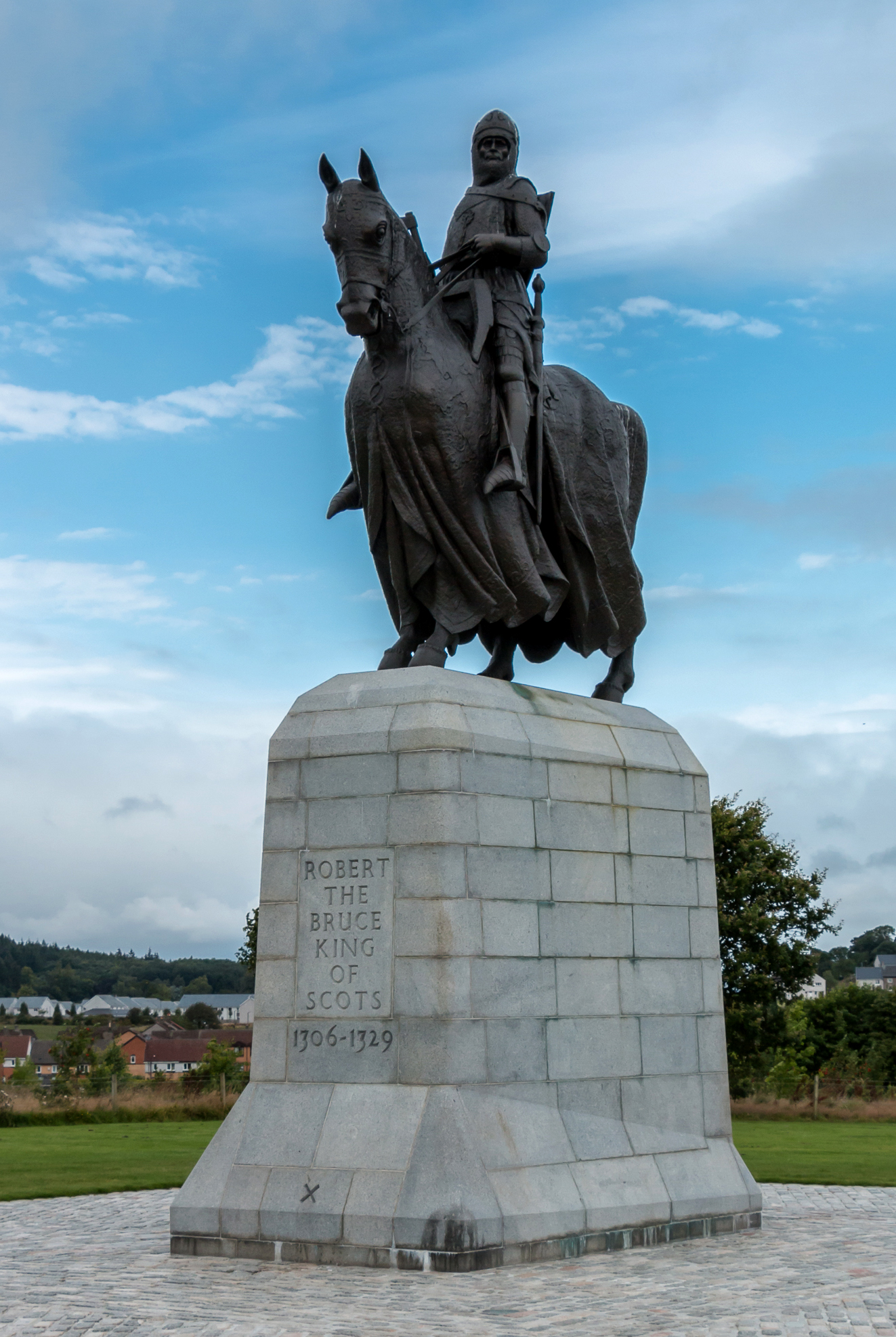
Equestrian statue of Robert the Bruce, Bannockburn
The equestrian statue of Robert the Bruce at the Bannockburn Visitor Centre, Bannockburn, Stirling, is a 1964 work by Pilkington Jackson. == Description... ==

Broomridge
Broomridge is a district in the south of the city of Stirling, Scotland, located north of Bannockburn and east of St. Ninians. It is home to Bannockburn...

St. Ninians
St. Ninians is a long-standing settlement which is now a district of the city of Stirling in central Scotland. It is located approximately one mile south...

Stirling High School
Stirling High School is a state high school for 11- to 18-year-olds run by Stirling Council in Stirling, Scotland. It is one of seven high schools in...
Stirling Health and Care Village
Stirling Health and Care Village is a health and care facility at Livilands Gate in Stirling, Scotland. It is managed by NHS Forth Valley as well as Stirling...
Torbrex Village
Torbrex is a small village in Scotland. Geographically Torbrex is enclosed within Stirling by Cambusbarron to the west, St. Ninians to the south, Livlilands...

Bannockburn
Bannockburn (Scottish Gaelic Allt a' Bhonnaich) is an area immediately south of the centre of Stirling in Scotland. It is part of the City of Stirling...
Nearby Amenities
Located within 500m of 56.093307,-3.9378096Have you been to Borestone Brae?
Leave your review of Borestone Brae below (or comments, questions and feedback).