Greenfield Plantations

Wood, Forest in Berwickshire

Scotland

Greenfield Plantations

Chesterfield Plantation, Ayton Cocklaw
Chesterfield Plantation, Ayton Cocklaw Credit: Lisa Jarvis

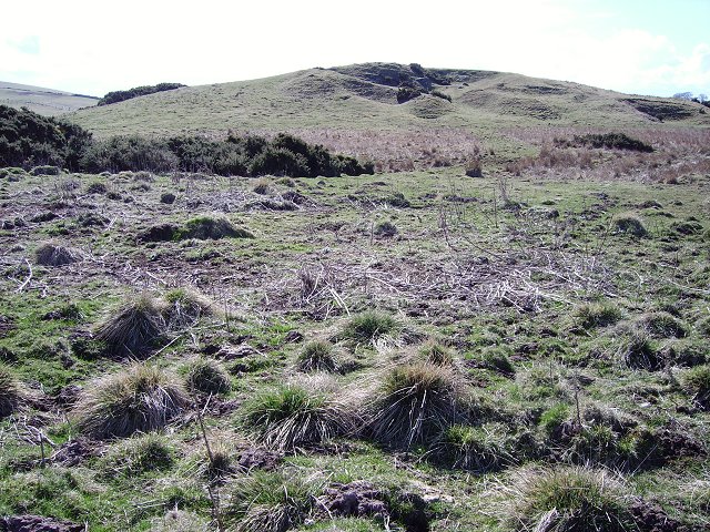
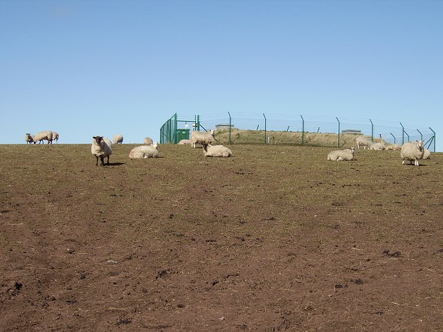
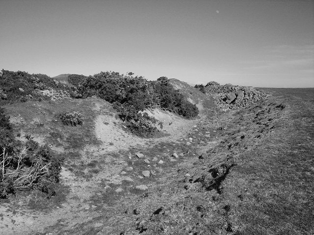
Greenfield Plantations is a sprawling forest located in Berwickshire, Scotland. Covering a vast area of land, it is renowned for its lush greenery and diverse ecosystem. The plantation primarily consists of woodlands, making it a significant contributor to the local timber industry.

The forest is home to a wide variety of tree species, including oak, pine, beech, and birch. The dense canopy created by these trees provides a haven for numerous wildlife species. Visitors to Greenfield Plantations frequently spot deer, foxes, squirrels, and a rich assortment of birdlife.

The management of Greenfield Plantations adheres to sustainable forestry practices, ensuring the responsible harvesting of timber while preserving the natural biodiversity. This approach has earned the plantation a reputation for its commitment to environmental conservation.

Walking trails have been thoughtfully designed throughout the plantation, allowing visitors to immerse themselves in the beauty of nature. These trails offer picturesque views of the surrounding countryside, making Greenfield Plantations a popular destination for outdoor enthusiasts and nature lovers.

In addition to its natural attractions, Greenfield Plantations also serves as an educational hub. The plantation organizes guided tours and workshops, teaching visitors about sustainable forestry, woodland management, and the importance of preserving natural habitats.

Overall, Greenfield Plantations in Berwickshire is a treasured woodland that combines the beauty of nature with a commitment to sustainability. Its diverse ecosystem, scenic trails, and educational initiatives make it a must-visit destination for those seeking to connect with the natural world.

If you have any feedback on the listing, please let us know in the comments section below.

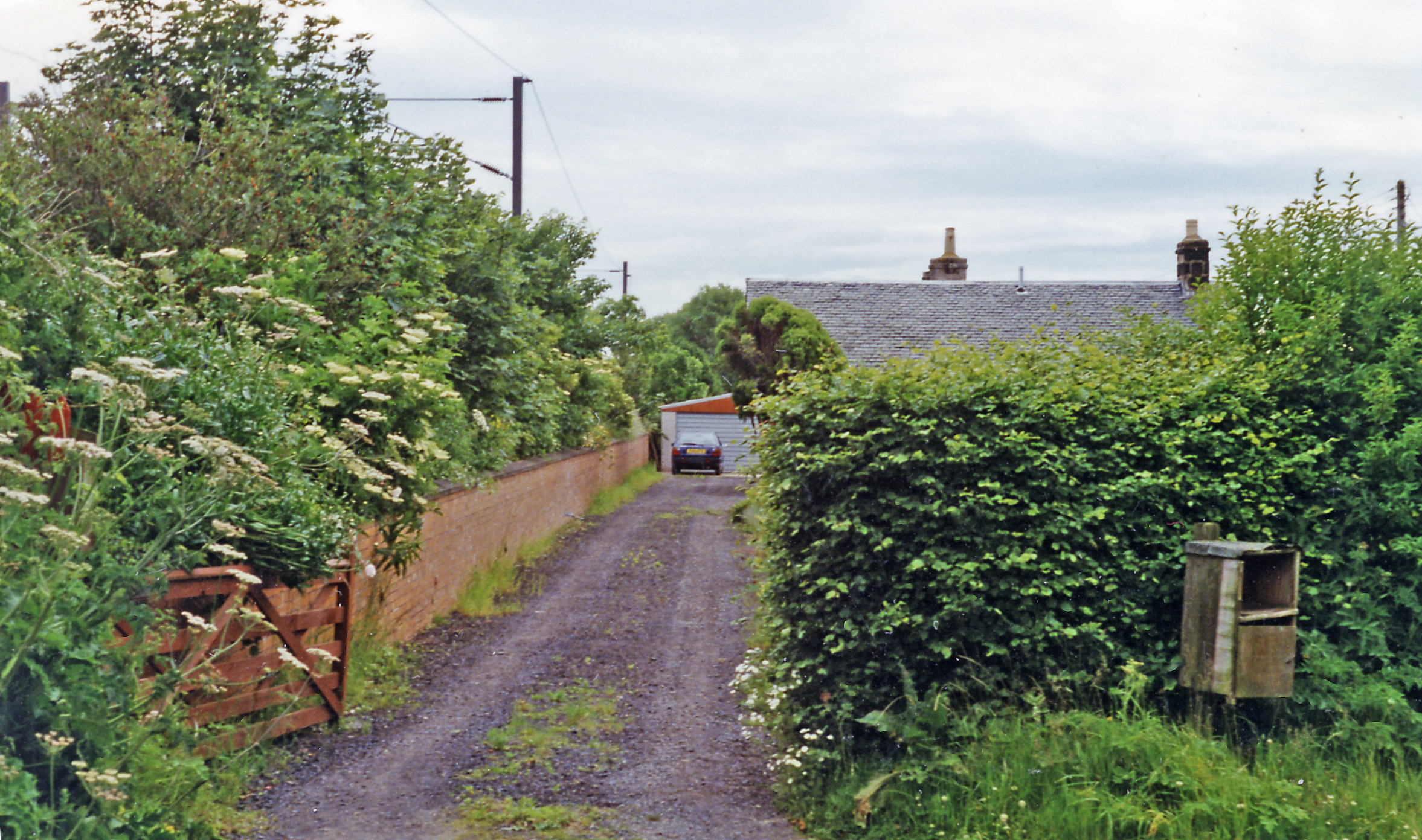
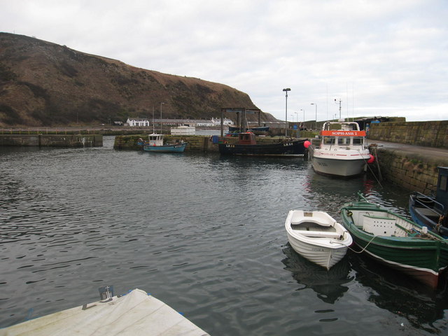
Greenfield Plantations Images

Images are sourced within 2km of 55.819918/-2.0926183 or Grid Reference NT9458. Thanks to Geograph Open Source API. All images are credited.

Chesterfield Plantation, Ayton Cocklaw
Lamberton Moor Quarried knoll amongst some very rough farmland.
Lamberton Moor
Quarried knoll amongst some very rough farmland.
Lamberton Moor There was once a racecourse up here. Now sheep pasture with a covered reservoir.
Lamberton Moor
There was once a racecourse up here. Now sheep pasture with a covered reservoir.
Habchester Hillfort near the highest point of Ayton Hill.
Habchester
Hillfort near the highest point of Ayton Hill.
Lamberton Moor, the summit Don't know its particular name, but the top with the caravans is the highest point for miles, and is possibly a missing marilyn, ie it may have 150m drop on all sides. WWII fortifications in the foreground and there is also an old Royal Observer Corps bunker near the top.
Lamberton Moor, the summit
Don't know its particular name, but the top with the caravans is the highest point for miles, and is possibly a missing marilyn, ie it may have 150m drop on all sides. WWII fortifications in the foreground and there is also an old Royal Observer Corps bunker near the top.
Bastleridge Old building and farm track.
Bastleridge
Old building and farm track.
Tam's Wood Woodland on the side of Ayton Hill. Bluebells greening up.
Tam's Wood
Woodland on the side of Ayton Hill. Bluebells greening up.
Wood near Bastle ridge. Old triangular wood in a field corner.
Wood near Bastle ridge.
Old triangular wood in a field corner.
Whiterig View from a corner, looking out over arable land towards Whiterig.
Whiterig
View from a corner, looking out over arable land towards Whiterig.
St Johns Sheep grazing in appropriate light for the day of the Winter Solstice.
St Johns
Sheep grazing in appropriate light for the day of the Winter Solstice.
Foulden Hill View to Foulden Hill from near a flat bed trailer, ideal for lugging big bales.
Foulden Hill
View to Foulden Hill from near a flat bed trailer, ideal for lugging big bales.
St Johns
St Johns
Hilltops Farm
Hilltops Farm
Peelham Farm cross country course Two and a half mile course for horses, set up in 2000
Peelham Farm cross country course
Two and a half mile course for horses, set up in 2000
View towards Greenfield Farm View over Berwickshire farmland.
View towards Greenfield Farm
View over Berwickshire farmland.
Culvert under a grassy track There wasn't really any water in the stream. The road peters out here - it's hardly visible
Culvert under a grassy track
There wasn't really any water in the stream. The road peters out here - it's hardly visible
Field with sheep and gorse
Christmas Tree in Paxton House Paxton House, a Georgian Mansion built 1763 by the banks of the River Tweed, holds its “Christmas Cracker Weekend” in December when it is beautifully decorated with evergreens and baubles on its ancient mantelpieces. Here is one of its 2 exquisite Christmas trees standing within its main door. Many local craft stalls are to be found in the Gallery while a Brass Band plays Christmas music in the background. Hot drinks and Christmas snacks are sold in their tearoom.
Christmas Tree in Paxton House
Paxton House, a Georgian Mansion built 1763 by the banks of the River Tweed, holds its “Christmas Cracker Weekend” in December when it is beautifully decorated with evergreens and baubles on its ancient mantelpieces. Here is one of its 2 exquisite Christmas trees standing within its main door. Many local craft stalls are to be found in the Gallery while a Brass Band plays Christmas music in the background. Hot drinks and Christmas snacks are sold in their tearoom.
Show me another place!

Greenfield Plantations is located at Grid Ref: NT9458 (Lat: 55.819918, Lng: -2.0926183)

Unitary Authority: The Scottish Borders

Police Authority: The Lothians and Scottish Borders

What 3 Words

///locator.warthog.slogans. Near Eyemouth, Scottish Borders

Related Wikis

Nearby Amenities

Located within 500m of 55.819918,-2.0926183
Natural: peak
Lat/Long: 55.8189034/-2.0848393
Ele: 217
Natural: peak
Lat/Long: 55.8210373/-2.090035
The data included in this document is from www.openstreetmap.org. The data is made available under ODbL.

Have you been to Greenfield Plantations?

Leave your review of Greenfield Plantations below (or comments, questions and feedback).